Property Record
4660 E East Paris Ave Se, Grand Rapids, MI 49512
NEARBY LISTINGS FOR SALE OR LEASE
Property Detail
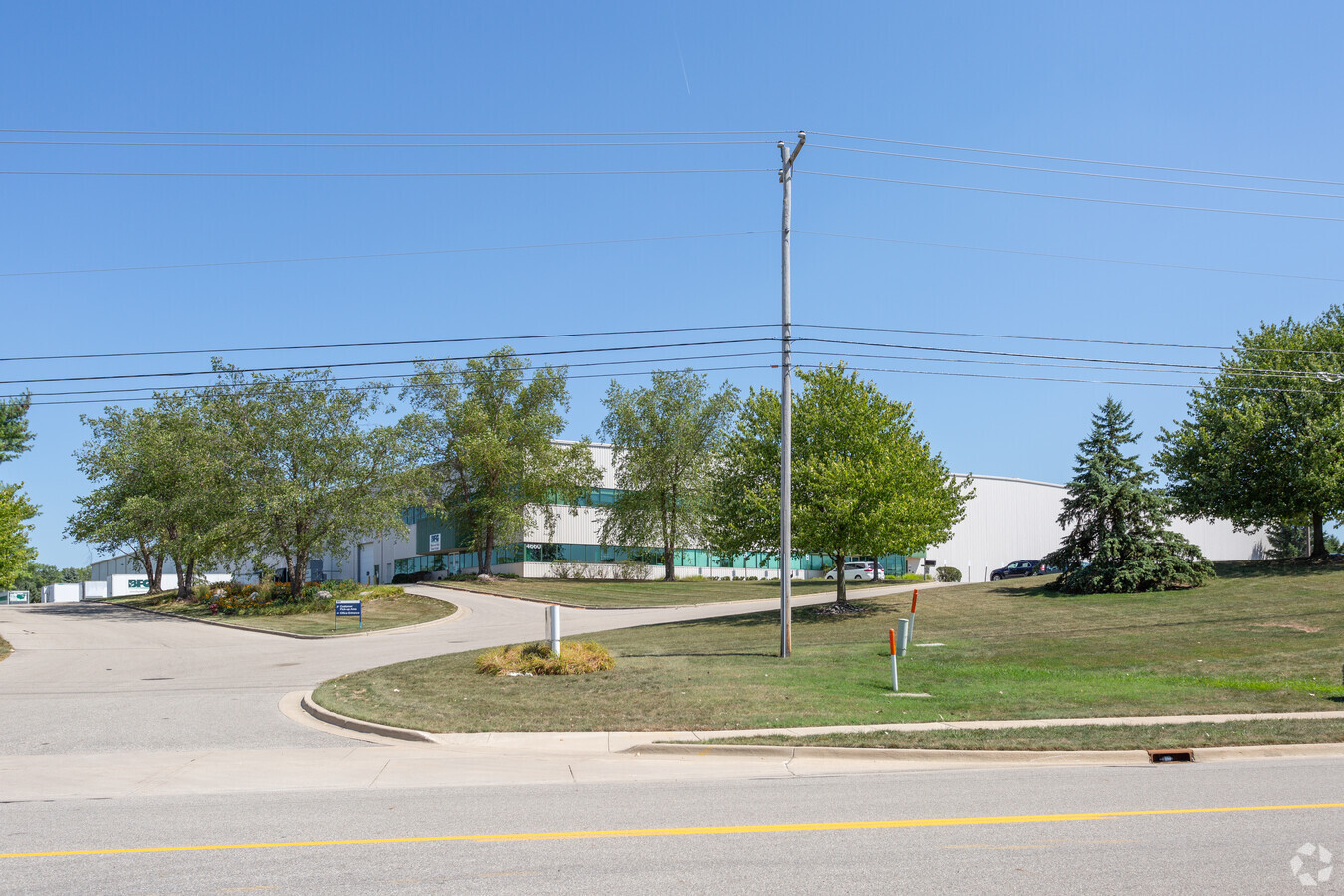
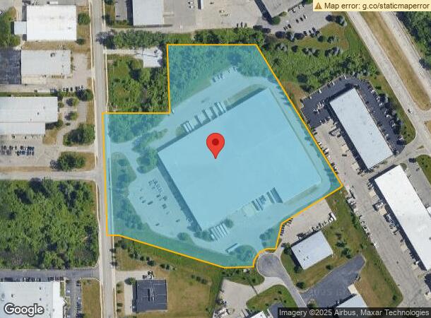
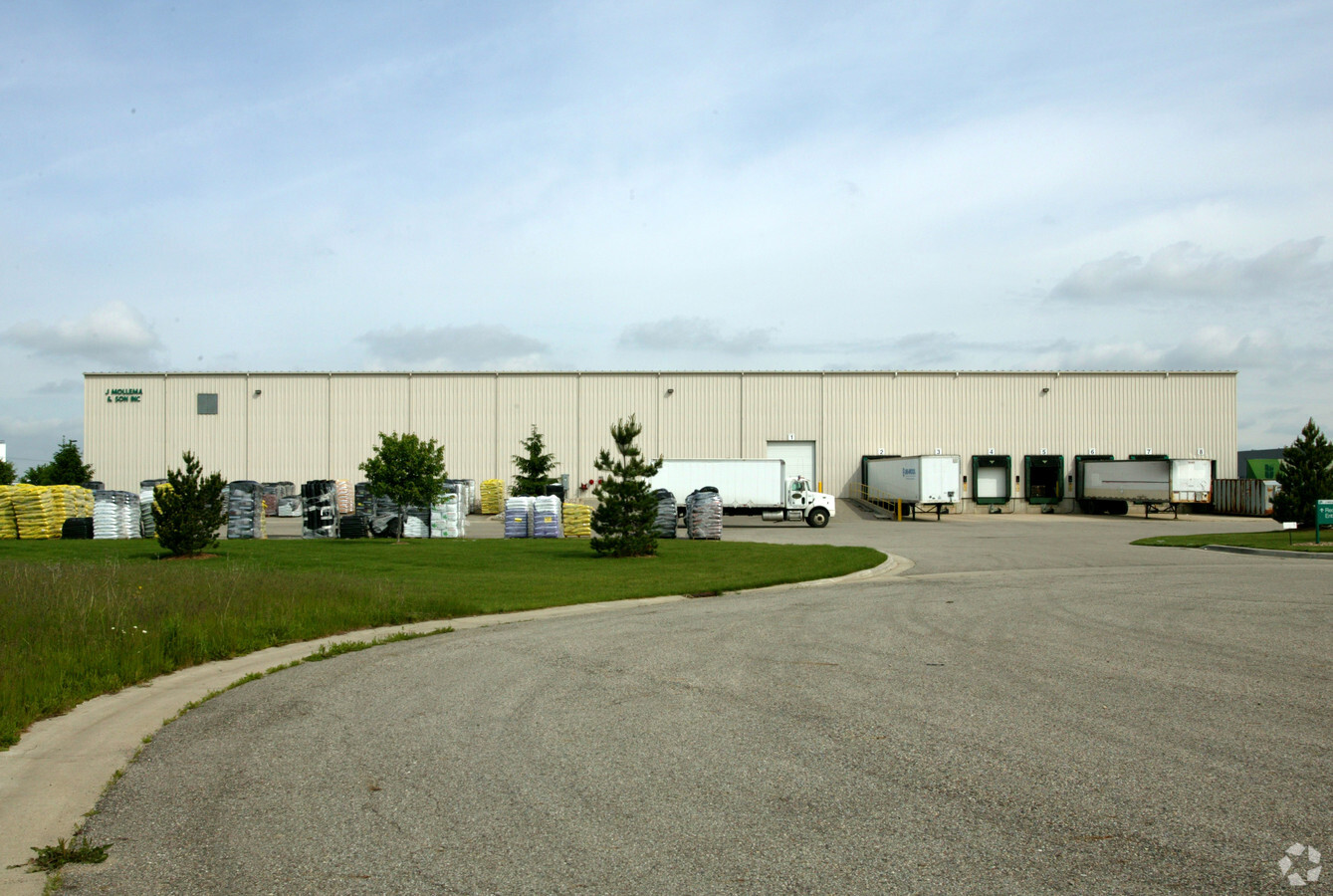
4660 E East Paris Ave Se
Grand Rapids-Wyoming, MI
411825151017 PART OF NW 1/4 COM 550.0 FT N 4D 05M 05S W ALONG W SEC LINE FROM W 1/4 COR TH N 4D 05M 05S W ALONG W SEC LINE
41-18-25-151-017
Kent
Commercialnec
Michigan
2023
13.97 AC
2024
SE Grand Rapids/Cascade
0126041004
West Michigan
200,520 SF
DEMOGRAPHICS near 4660 E East Paris Ave Se
1 Mile
3 Mile
5 Mile
2024 Total Population
2,638
39,037
137,242
2029 Population
2,662
39,497
138,485
Pop Growth 2024-2029
+ 0.91%
+ 1.18%
+ 0.91%
Average Age
37
38
38
2024 Total Households
956
16,362
52,282
HH Growth 2024-2029
+ 0.94%
+ 1.22%
+ 0.90%
Median Household Inc
$104,597
$61,757
$73,346
Avg Household Size
2.60
2.30
2.50
2024 Avg HH Vehicles
2.00
2.00
2.00
Median Home Value
$264,108
$246,511
$257,670
Median Year Built
1999
1988
1981
Nearby Places
- Restaurants
- Banks
- Shops
- Fitness
- Groceries
PUBLIC TRANSPORTATION
AIRPORT
Gerald R Ford International
DRIVE
WALK
Distance
Gerald R Ford International
9 min
3.2 mi
Freight Ports
Port Milwaukee
DRIVE
WALK
Distance
Port Milwaukee
312 min
267.9 mi
Nearby Properties
Address
Land Use
TOTAL SIZE
Lot Size
Zoning
Address
Land Use
TOTAL SIZE
Lot Size
Zoning
563,998 SF
31.75 AC
C3
Address
Land Use
TOTAL SIZE
Lot Size
Zoning
385,631 SF
45.27 AC
R-PUD-1
Address
Land Use
TOTAL SIZE
Lot Size
Zoning
719,632 SF
127.88 AC
PUD-PL UNI
Address
Land Use
TOTAL SIZE
Lot Size
Zoning
855,000 SF
PUD LSP-LG
Address
Land Use
TOTAL SIZE
Lot Size
Zoning
521,735 SF
52.16 AC
MON-C
Address
Land Use
TOTAL SIZE
Lot Size
Zoning
476,572 SF
51.60 AC
R4
Address
Land Use
TOTAL SIZE
Lot Size
Zoning
446,986 SF
72.57 AC
R4
Address
Land Use
TOTAL SIZE
Lot Size
Zoning
341,808 SF
27.73 AC
HC-PUD
Address
Land Use
TOTAL SIZE
Lot Size
Zoning
23.99 AC
PUD
Address
Land Use
TOTAL SIZE
Lot Size
Zoning
874,605 SF
87.68 AC
I-PUD
Address
Land Use
TOTAL SIZE
Lot Size
Zoning
155.84 AC
Address
Land Use
TOTAL SIZE
Lot Size
Zoning
223,931 SF
18 AC
R-PUD-1
Address
Land Use
TOTAL SIZE
Lot Size
Zoning
27.25 AC
SD-PRD
Address
Land Use
TOTAL SIZE
Lot Size
Zoning
208.39 AC
I-PUD
Address
Land Use
TOTAL SIZE
Lot Size
Zoning
685,902 SF
38.89 AC
I1
Address
Land Use
TOTAL SIZE
Lot Size
Zoning
47.13 AC
PUD
Address
Land Use
TOTAL SIZE
Lot Size
Zoning
216,171 SF
32.06 AC
R4
Address
Land Use
TOTAL SIZE
Lot Size
Zoning
285,875 SF
37.86 AC
TI
Address
Land Use
TOTAL SIZE
Lot Size
Zoning
63.52 AC
Address
Land Use
TOTAL SIZE
Lot Size
Zoning
292,825 SF
15.01 AC
R-PUD-1
Address
Land Use
TOTAL SIZE
Lot Size
Zoning
455,880 SF
24.91 AC
I1
Address
Land Use
TOTAL SIZE
Lot Size
Zoning
148.14 AC
Address
Land Use
TOTAL SIZE
Lot Size
Zoning
267,336 SF
13.99 AC
R-PUD-1
Address
Land Use
TOTAL SIZE
Lot Size
Zoning
16.90 AC
MON-MDR
Address
Land Use
TOTAL SIZE
Lot Size
Zoning
400,646 SF
23.78 AC
I1
Address
Land Use
TOTAL SIZE
Lot Size
Zoning
304,200 SF
R1
Address
Land Use
TOTAL SIZE
Lot Size
Zoning
266,630 SF
41.30 AC
I1-LIGHT I
Address
Land Use
TOTAL SIZE
Lot Size
Zoning
153,571 SF
12.28 AC
SD-PRD
Address
Land Use
TOTAL SIZE
Lot Size
Zoning
119.44 AC
I-PUD
Address
Land Use
TOTAL SIZE
Lot Size
Zoning
51,148 SF
26.38 AC
R-PUD-1
The World's #1 Commercial Real Estate Marketplace
Connect with us
© 2025 CoStar Group
The information above has been obtained from sources believed reliable. While we do not doubt its accuracy we have not verified it and make no guarantee, warranty or representation about it. It is your responsibility to independently confirm its accuracy and completeness. Any projections, opinions, assumptions, or estimates used are for example only and do not represent the current or future performance of the property. The value of this transaction to you depends on tax and other factors which should be evaluated by your tax, financial, and legal advisors. You and your advisors should conduct a careful, independent investigation of the property to determine to your satisfaction the suitability of the property for your needs.