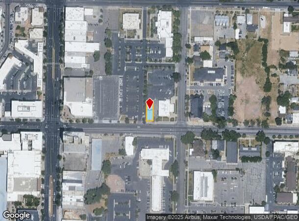
Property Record
470 24Th St, Ogden, UT 84401
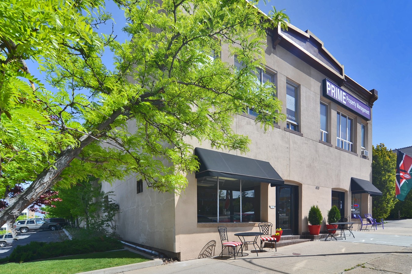
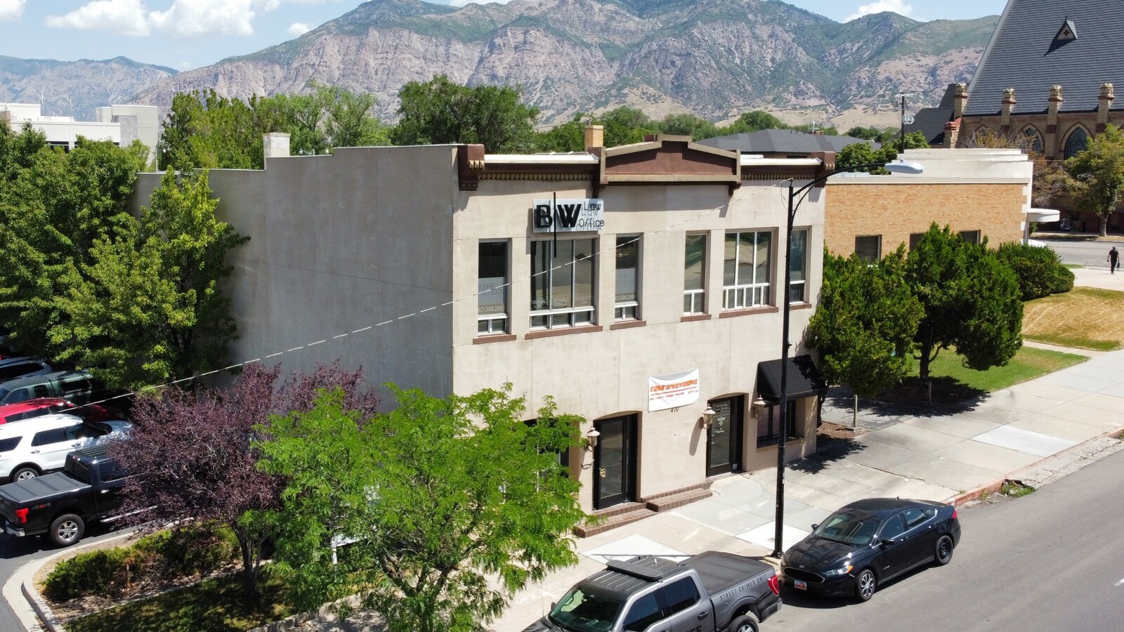

This Property Is For Sale
NEARBY LISTINGS FOR SALE OR LEASE
Property Detail
470 24Th St
Ogden-Clearfield, UT
Plat A Ogden City Survey
01-027-0025
PART OF LOT 1, BLOCK 31, PLAT A, OGDEN CITY SURVEY, WEBER COUNTY, UTAH: BEGINNING AT A POINT NORTH 89D02' WEST 165.11 FEET
Officebuilding
Weber
X
Utah
49057C0427F
1
2024
0.12 AC
2024
Davis/Weber Counties
201100
Salt Lake City
10,080 SF
DEMOGRAPHICS near 470 24Th St
1 Mile
3 Mile
5 Mile
2024 Total Population
18,324
83,693
158,638
2029 Population
19,806
89,845
170,459
Pop Growth 2024-2029
+ 8.09%
+ 7.35%
+ 7.45%
Average Age
35
35
36
2024 Total Households
7,665
31,102
57,449
HH Growth 2024-2029
+ 8.23%
+ 7.58%
+ 7.66%
Median Household Inc
$39,083
$53,706
$62,304
Avg Household Size
2.30
2.60
2.70
2024 Avg HH Vehicles
1.00
2.00
2.00
Median Home Value
$258,800
$290,661
$328,758
Median Year Built
1953
1960
1975
Nearby Places
- Restaurants
- Banks
- Shops
- Fitness
- Groceries
PUBLIC TRANSPORTATION
COMMUTER RAIL
Ogden (FrontRunner North - Utah Transit Authority (UTA))
DRIVE
WALK
Distance
Ogden (FrontRunner North - Utah Transit Authority (UTA))
2 min
17 min
0.9 mi
Roy (FrontRunner North - Utah Transit Authority (UTA))
DRIVE
WALK
Distance
Roy (FrontRunner North - Utah Transit Authority (UTA))
11 min
5.4 mi
Freight Ports
Port of Stockton
DRIVE
WALK
Distance
Port of Stockton
749 min
730.0 mi
Nearby Properties
Address
Land Use
TOTAL SIZE
Lot Size
Zoning
Address
Land Use
TOTAL SIZE
Lot Size
Zoning
790,525 SF
57.26 AC
Address
Land Use
TOTAL SIZE
Lot Size
Zoning
1,900 SF
45.79 AC
Address
Land Use
TOTAL SIZE
Lot Size
Zoning
109,010 SF
24.92 AC
Address
Land Use
TOTAL SIZE
Lot Size
Zoning
19,560 SF
9.56 AC
Address
Land Use
TOTAL SIZE
Lot Size
Zoning
97,932 SF
3.07 AC
Address
Land Use
TOTAL SIZE
Lot Size
Zoning
21,684 SF
8.38 AC
Address
Land Use
TOTAL SIZE
Lot Size
Zoning
9,464 SF
6.82 AC
Address
Land Use
TOTAL SIZE
Lot Size
Zoning
305,444 SF
1.58 AC
Address
Land Use
TOTAL SIZE
Lot Size
Zoning
98,660 SF
3.18 AC
Address
Land Use
TOTAL SIZE
Lot Size
Zoning
106,752 SF
10.35 AC
Address
Land Use
TOTAL SIZE
Lot Size
Zoning
22,227 SF
10.81 AC
Address
Land Use
TOTAL SIZE
Lot Size
Zoning
66,848 SF
5.56 AC
Address
Land Use
TOTAL SIZE
Lot Size
Zoning
152,877 SF
4.96 AC
Address
Land Use
TOTAL SIZE
Lot Size
Zoning
119,043 SF
2.05 AC
Address
Land Use
TOTAL SIZE
Lot Size
Zoning
101,191 SF
4.14 AC
Address
Land Use
TOTAL SIZE
Lot Size
Zoning
14,520 SF
6.86 AC
Address
Land Use
TOTAL SIZE
Lot Size
Zoning
128,867 SF
3.36 AC
Address
Land Use
TOTAL SIZE
Lot Size
Zoning
123,135 SF
1.12 AC
Address
Land Use
TOTAL SIZE
Lot Size
Zoning
108,083 SF
6.21 AC
Address
Land Use
TOTAL SIZE
Lot Size
Zoning
99,775 SF
6.32 AC
Address
Land Use
TOTAL SIZE
Lot Size
Zoning
255,596 SF
15.98 AC
Address
Land Use
TOTAL SIZE
Lot Size
Zoning
7,567 SF
5.12 AC
Address
Land Use
TOTAL SIZE
Lot Size
Zoning
73,942 SF
8.87 AC
Address
Land Use
TOTAL SIZE
Lot Size
Zoning
21,680 SF
2.98 AC
The World's #1 Commercial Real Estate Marketplace
Connect with us
© 2025 CoStar Group
The information above has been obtained from sources believed reliable. While we do not doubt its accuracy we have not verified it and make no guarantee, warranty or representation about it. It is your responsibility to independently confirm its accuracy and completeness. Any projections, opinions, assumptions, or estimates used are for example only and do not represent the current or future performance of the property. The value of this transaction to you depends on tax and other factors which should be evaluated by your tax, financial, and legal advisors. You and your advisors should conduct a careful, independent investigation of the property to determine to your satisfaction the suitability of the property for your needs.