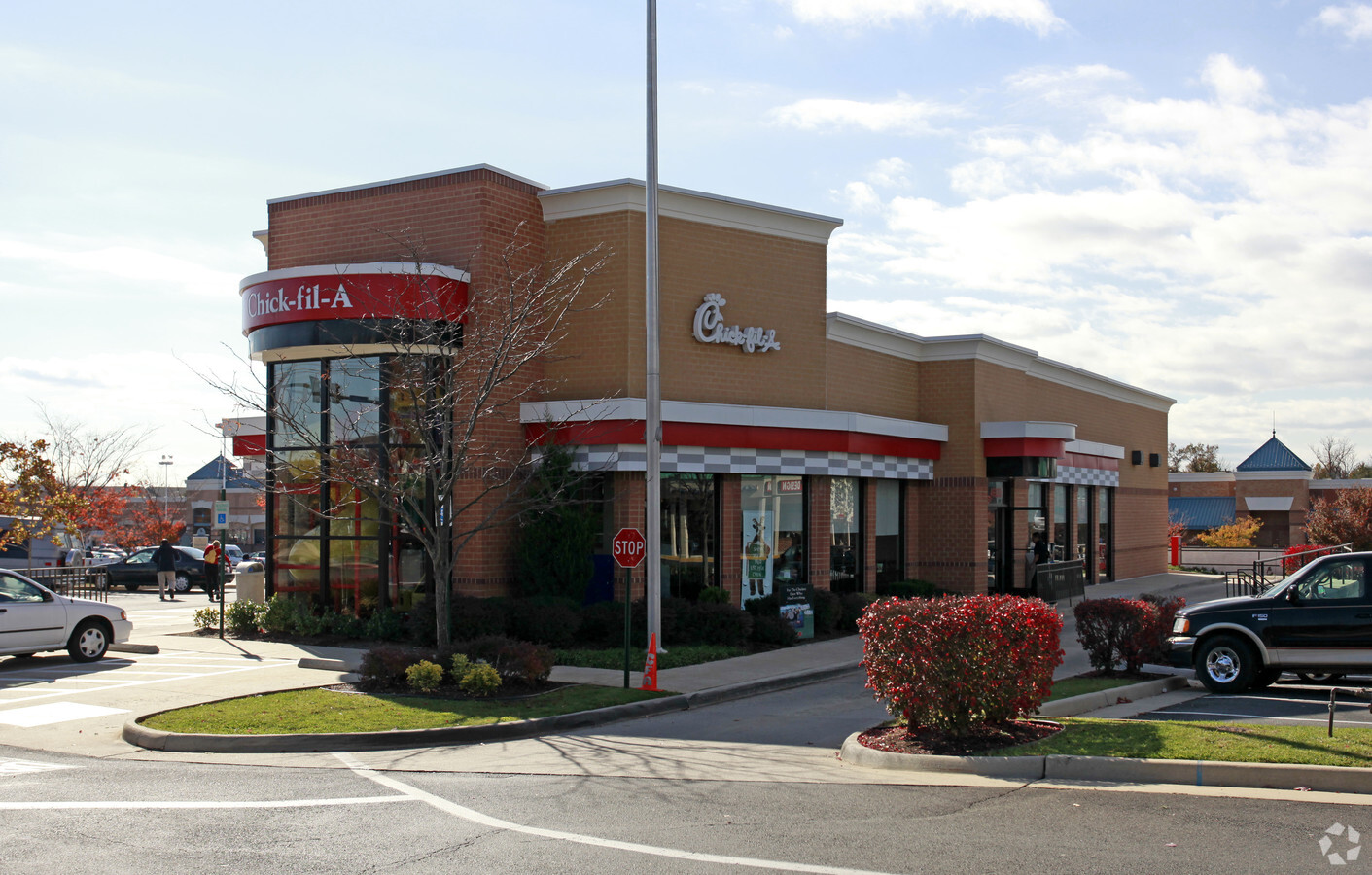
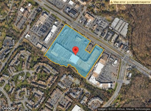
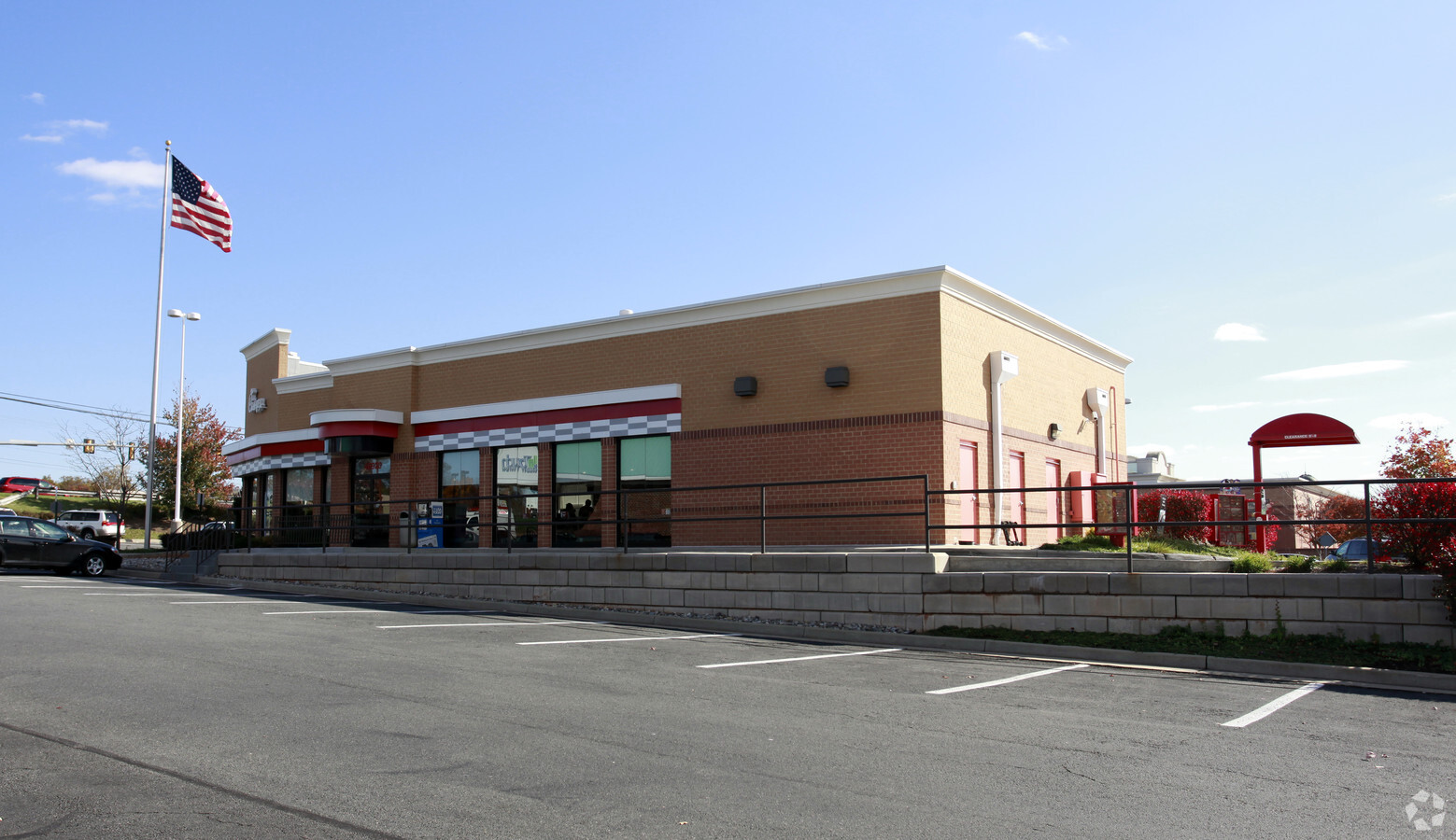
Property Record
47100 Community Plz, Sterling, VA 20164
NEARBY LISTINGS FOR SALE OR LEASE
Property Detail
47100 Community Plz
Washington-Arlington-Alexandria, DC-VA-MD-WV
Sugarland Run
014-38-2990
SUGARLAND RUN SHOPPING CENTER PARCELS.A,B 1238--45
Regionalshoppingcenterormallwithanchorstore
Loudoun
X
Virginia
51107C0269E
a
2024
22 AC
2024
Route 28 Corridor North
611300
Washington, DC
259,374 SF
DEMOGRAPHICS near 47100 Community Plz
1 Mile
3 Mile
5 Mile
2024 Total Population
13,854
105,223
203,412
2029 Population
14,685
110,066
209,921
Pop Growth 2024-2029
+ 6.00%
+ 4.60%
+ 3.20%
Average Age
39
39
39
2024 Total Households
4,311
34,548
74,714
HH Growth 2024-2029
+ 6.08%
+ 4.58%
+ 3.17%
Median Household Inc
$140,478
$145,813
$133,897
Avg Household Size
3.10
2.90
2.60
2024 Avg HH Vehicles
2.00
2.00
2.00
Median Home Value
$552,982
$607,840
$625,565
Median Year Built
1986
1987
1990
Nearby Places
- Restaurants
- Banks
- Shops
- Fitness
- Groceries
PUBLIC TRANSPORTATION
AIRPORT
Washington Dulles International
DRIVE
WALK
Distance
Washington Dulles International
20 min
8.7 mi
Ronald Reagan Washington Ntl
DRIVE
WALK
Distance
Ronald Reagan Washington Ntl
40 min
26.2 mi
Freight Ports
Port of Baltimore
DRIVE
WALK
Distance
Port of Baltimore
81 min
58.2 mi
Nearby Properties
Address
Land Use
TOTAL SIZE
Lot Size
Zoning
Address
Land Use
TOTAL SIZE
Lot Size
Zoning
476,306 SF
14.34 AC
PDIP
Address
Land Use
TOTAL SIZE
Lot Size
Zoning
154,125 SF
9.68 AC
PDIP
Address
Land Use
TOTAL SIZE
Lot Size
Zoning
426,710 SF
19.50 AC
PDIP
Address
Land Use
TOTAL SIZE
Lot Size
Zoning
147,260 SF
33.04 AC
PDIP
Address
Land Use
TOTAL SIZE
Lot Size
Zoning
316,325 SF
18.08 AC
R16
Address
Land Use
TOTAL SIZE
Lot Size
Zoning
364,146 SF
38.05 AC
CCSC
Address
Land Use
TOTAL SIZE
Lot Size
Zoning
498,598 SF
21.89 AC
R16
Address
Land Use
TOTAL SIZE
Lot Size
Zoning
383,257 SF
33.05 AC
PDH4
Address
Land Use
TOTAL SIZE
Lot Size
Zoning
404,709 SF
18.57 AC
R24
Address
Land Use
TOTAL SIZE
Lot Size
Zoning
408,760 SF
87.24 AC
R1
Address
Land Use
TOTAL SIZE
Lot Size
Zoning
110,535 SF
348.88 AC
R1
Address
Land Use
TOTAL SIZE
Lot Size
Zoning
308,805 SF
34.45 AC
PDCCRC
Address
Land Use
TOTAL SIZE
Lot Size
Zoning
1,026,767 SF
71 AC
PDSC
Address
Land Use
TOTAL SIZE
Lot Size
Zoning
234,679 SF
14.33 AC
PRC
Address
Land Use
TOTAL SIZE
Lot Size
Zoning
287,050 SF
11.05 AC
R24
Address
Land Use
TOTAL SIZE
Lot Size
Zoning
135,513 SF
8.49 AC
PDIP
Address
Land Use
TOTAL SIZE
Lot Size
Zoning
147,006 SF
PDTC
Address
Land Use
TOTAL SIZE
Lot Size
Zoning
251,859 SF
40 AC
R1
Address
Land Use
TOTAL SIZE
Lot Size
Zoning
195,951 SF
18.44 AC
PDIP
Address
Land Use
TOTAL SIZE
Lot Size
Zoning
172,964 SF
8.02 AC
R24
Address
Land Use
TOTAL SIZE
Lot Size
Zoning
142,216 SF
92.77 AC
R1
Address
Land Use
TOTAL SIZE
Lot Size
Zoning
310,310 SF
40.67 AC
R-3
Address
Land Use
TOTAL SIZE
Lot Size
Zoning
225,830 SF
62.50 AC
PDH4
Address
Land Use
TOTAL SIZE
Lot Size
Zoning
204,867 SF
12.26 AC
PDIP
Address
Land Use
TOTAL SIZE
Lot Size
Zoning
124,684 SF
12.82 AC
PRC
Address
Land Use
TOTAL SIZE
Lot Size
Zoning
234,919 SF
11.95 AC
PDH4
Address
Land Use
TOTAL SIZE
Lot Size
Zoning
228,434 SF
7.27 AC
PDH3
Address
Land Use
TOTAL SIZE
Lot Size
Zoning
210,066 SF
10.26 AC
PDH4
Address
Land Use
TOTAL SIZE
Lot Size
Zoning
42.88 AC
PDTC
Address
Land Use
TOTAL SIZE
Lot Size
Zoning
89,072 SF
6.24 AC
PDIP
The World's #1 Commercial Real Estate Marketplace
Connect with us
© 2025 CoStar Group
The information above has been obtained from sources believed reliable. While we do not doubt its accuracy we have not verified it and make no guarantee, warranty or representation about it. It is your responsibility to independently confirm its accuracy and completeness. Any projections, opinions, assumptions, or estimates used are for example only and do not represent the current or future performance of the property. The value of this transaction to you depends on tax and other factors which should be evaluated by your tax, financial, and legal advisors. You and your advisors should conduct a careful, independent investigation of the property to determine to your satisfaction the suitability of the property for your needs.