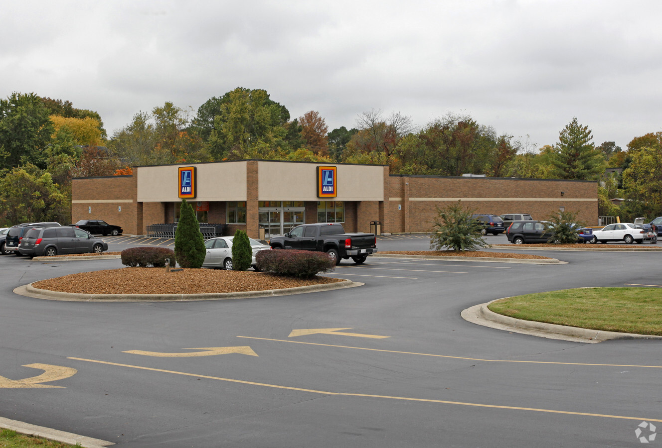
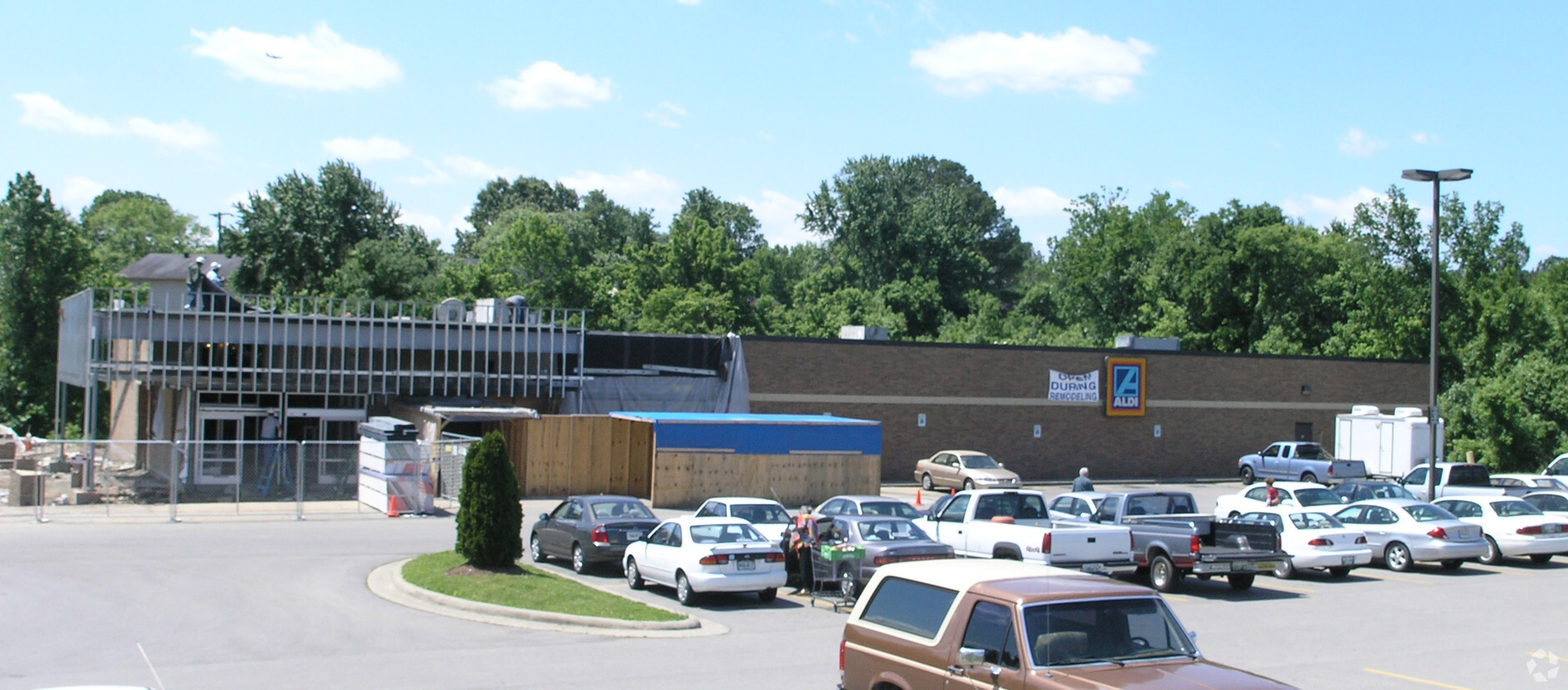
Property Record
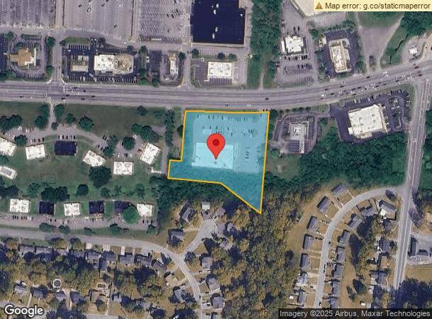
4751 Lebanon Pike, Hermitage, TN 37076
NEARBY LISTINGS FOR SALE OR LEASE
Property Detail
4751 Lebanon Pike
Nashville-Davidson--Murfreesboro--Franklin, TN
Tulip Grove Center Phase 1
075-04-0-172
P/O LOT 1 TULIP GROVE CENTER PHASE 1
Supermarket
Davidson
X
Tennessee
47189C0129E
1
2024
3.09 AC
2024
Donelson-Hermitage
015405
Nashville
17,200 SF
DEMOGRAPHICS near 4751 Lebanon Pike
1 Mile
3 Mile
5 Mile
2024 Total Population
8,825
47,198
107,169
2029 Population
8,962
49,462
113,863
Pop Growth 2024-2029
+ 1.55%
+ 4.80%
+ 6.25%
Average Age
40
40
41
2024 Total Households
3,592
18,344
42,837
HH Growth 2024-2029
+ 0.64%
+ 3.83%
+ 5.15%
Median Household Inc
$74,873
$80,899
$79,324
Avg Household Size
2.40
2.50
2.40
2024 Avg HH Vehicles
2.00
2.00
2.00
Median Home Value
$282,572
$315,139
$334,395
Median Year Built
1984
1987
1988
Nearby Places
- Restaurants
- Banks
- Shops
- Fitness
- Groceries
PUBLIC TRANSPORTATION
COMMUTER RAIL
Hermitage (East Corridor Line - Tennessee Regional Transportation Authority Music City Star (Music City Star))
DRIVE
WALK
Distance
Hermitage (East Corridor Line - Tennessee Regional Transportation Authority Music City Star (Music City Star))
6 min
2.5 mi
Mt Juliet (East Corridor Line - Tennessee Regional Transportation Authority Music City Star (Music City Star))
DRIVE
WALK
Distance
Mt Juliet (East Corridor Line - Tennessee Regional Transportation Authority Music City Star (Music City Star))
12 min
7.0 mi
AIRPORT
Nashville International
DRIVE
WALK
Distance
Nashville International
16 min
9.7 mi
Freight Ports
Port of Mobile
DRIVE
WALK
Distance
Port of Mobile
500 min
457.3 mi
Nearby Properties
Address
Land Use
TOTAL SIZE
Lot Size
Zoning
Address
Land Use
TOTAL SIZE
Lot Size
Zoning
32,891 SF
10.65 AC
MUL
Address
Land Use
TOTAL SIZE
Lot Size
Zoning
503,878 SF
47.85 AC
OG
Address
Land Use
TOTAL SIZE
Lot Size
Zoning
75,873 SF
8.88 AC
OR20
Address
Land Use
TOTAL SIZE
Lot Size
Zoning
23,328 SF
13.48 AC
RM20
Address
Land Use
TOTAL SIZE
Lot Size
Zoning
53,396 SF
6.90 AC
RM15
Address
Land Use
TOTAL SIZE
Lot Size
Zoning
81,811 SF
8.95 AC
MULTI-ZONE
Address
Land Use
TOTAL SIZE
Lot Size
Zoning
4,500 SF
7.76 AC
R20
Address
Land Use
TOTAL SIZE
Lot Size
Zoning
21,580 SF
20.29 AC
RM9
Address
Land Use
TOTAL SIZE
Lot Size
Zoning
294,923 SF
17.91 AC
MULTI-ZONE
Address
Land Use
TOTAL SIZE
Lot Size
Zoning
139,464 SF
0.58 AC
OG: OFF SE
Address
Land Use
TOTAL SIZE
Lot Size
Zoning
16,890 SF
8.28 AC
CS
Address
Land Use
TOTAL SIZE
Lot Size
Zoning
29,201 SF
2.57 AC
RS15
Address
Land Use
TOTAL SIZE
Lot Size
Zoning
121,795 SF
9.96 AC
OL
Address
Land Use
TOTAL SIZE
Lot Size
Zoning
11,875 SF
21.25 AC
RM9
Address
Land Use
TOTAL SIZE
Lot Size
Zoning
2,914 SF
9.92 AC
RS15
Address
Land Use
TOTAL SIZE
Lot Size
Zoning
19,120 SF
22.25 AC
RM15
Address
Land Use
TOTAL SIZE
Lot Size
Zoning
90,568 SF
19.05 AC
SCC
Address
Land Use
TOTAL SIZE
Lot Size
Zoning
95,676 SF
0.43 AC
OG
Address
Land Use
TOTAL SIZE
Lot Size
Zoning
204,803 SF
20.31 AC
SCR
Address
Land Use
TOTAL SIZE
Lot Size
Zoning
9,990 SF
13.19 AC
R10
Address
Land Use
TOTAL SIZE
Lot Size
Zoning
45,784 SF
2.83 AC
RM15
Address
Land Use
TOTAL SIZE
Lot Size
Zoning
29,701 SF
5.11 AC
MULTIZONE
Address
Land Use
TOTAL SIZE
Lot Size
Zoning
42,107 SF
8 AC
RS10
Address
Land Use
TOTAL SIZE
Lot Size
Zoning
44,800 SF
13.76 AC
R10
Address
Land Use
TOTAL SIZE
Lot Size
Zoning
31,510 SF
8.50 AC
RM6
Address
Land Use
TOTAL SIZE
Lot Size
Zoning
30,250 SF
6.34 AC
MULTI-ZONE
Address
Land Use
TOTAL SIZE
Lot Size
Zoning
19,810 SF
9.52 AC
RM20
Address
Land Use
TOTAL SIZE
Lot Size
Zoning
21,600 SF
13.03 AC
R10
Address
Land Use
TOTAL SIZE
Lot Size
Zoning
65,428 SF
5.65 AC
PUD
Address
Land Use
TOTAL SIZE
Lot Size
Zoning
6,957 SF
12.60 AC
RS15
The World's #1 Commercial Real Estate Marketplace
Connect with us
© 2025 CoStar Group
The information above has been obtained from sources believed reliable. While we do not doubt its accuracy we have not verified it and make no guarantee, warranty or representation about it. It is your responsibility to independently confirm its accuracy and completeness. Any projections, opinions, assumptions, or estimates used are for example only and do not represent the current or future performance of the property. The value of this transaction to you depends on tax and other factors which should be evaluated by your tax, financial, and legal advisors. You and your advisors should conduct a careful, independent investigation of the property to determine to your satisfaction the suitability of the property for your needs.