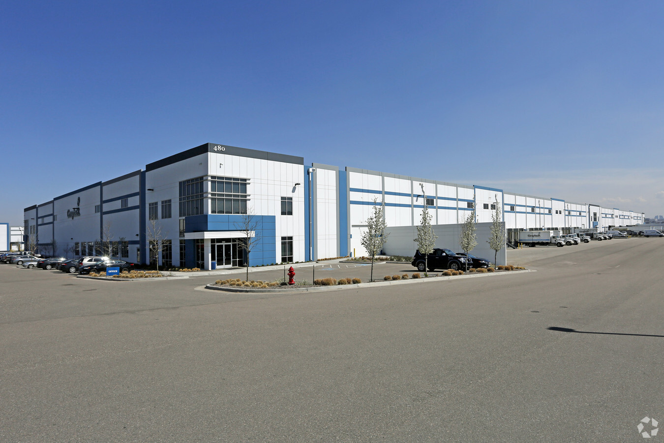
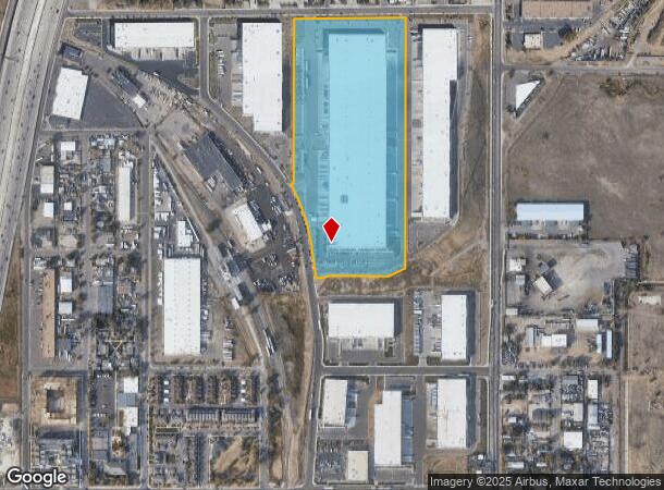
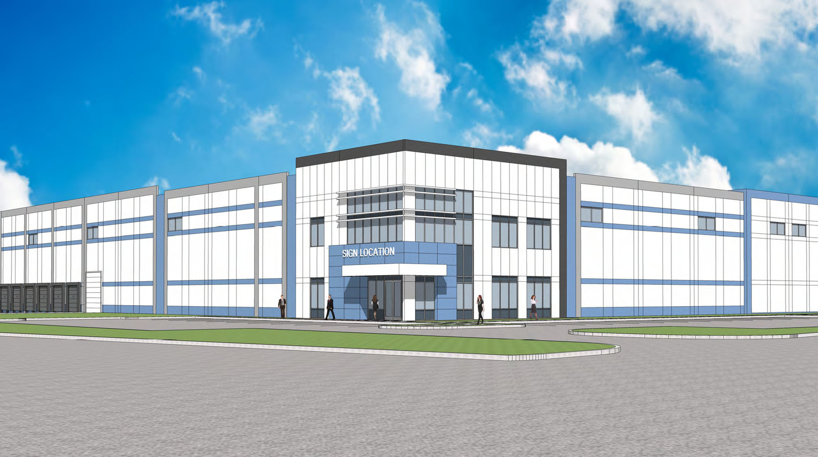
Property Record
480 E 55Th Ave, Denver, CO 80216
NEARBY LISTINGS FOR SALE OR LEASE
Property Detail
480 E 55Th Ave
Denver-Aurora-Lakewood, CO
Crossroads Commerce Park
1825-15-1-13-016
CROSSROADS COMMERCE PARK SUBD FLG NO 2 LOT 2
Warehouse
Adams
X
Colorado
0800460086H
2
2023
19.28 AC
2024
Commerce City
015000
Denver
376,598 SF
DEMOGRAPHICS near 480 E 55Th Ave
1 Mile
3 Mile
5 Mile
2024 Total Population
2,314
103,260
403,756
2029 Population
2,298
105,712
412,712
Pop Growth 2024-2029
(0.69%)
+ 2.37%
+ 2.22%
Average Age
37
36
37
2024 Total Households
760
44,825
181,890
HH Growth 2024-2029
(0.66%)
+ 2.28%
+ 2.15%
Median Household Inc
$65,500
$88,426
$77,739
Avg Household Size
2.60
2.20
2.10
2024 Avg HH Vehicles
2.00
2.00
2.00
Median Home Value
$400,325
$544,109
$498,313
Median Year Built
1949
1983
1969
Nearby Places
- Restaurants
- Banks
- Shops
- Fitness
- Groceries
PUBLIC TRANSPORTATION
COMMUTER RAIL
48Th & Brighton-National Western Station Track 1 (Union Station to Eastlake & 124th Station - Regional Transportation District)
DRIVE
WALK
Distance
48Th & Brighton-National Western Station Track 1 (Union Station to Eastlake & 124th Station - Regional Transportation District)
7 min
1.9 mi
Pecos Junction Station Track 1 (Union Station to Westminster Station - Regional Transportation District, Union Station to Wheat Ridge Ward Station - Regional Transportation District)
DRIVE
WALK
Distance
Pecos Junction Station Track 1 (Union Station to Westminster Station - Regional Transportation District, Union Station to Wheat Ridge Ward Station - Regional Transportation District)
8 min
2.8 mi
AIRPORT
Denver International
DRIVE
WALK
Distance
Denver International
31 min
22.8 mi
Freight Ports
Tulsa Port Of Catoosa
DRIVE
WALK
Distance
Tulsa Port Of Catoosa
728 min
708.3 mi
SALE & LEASE HISTORY
LISTING DATE
SALE/LEASE

Sep 25, 2016
For Lease
Nearby Properties
Address
Land Use
TOTAL SIZE
Lot Size
Zoning
Address
Land Use
TOTAL SIZE
Lot Size
Zoning
396,741 SF
8.12 AC
A1
Address
Land Use
TOTAL SIZE
Lot Size
Zoning
784,978 SF
1.15 AC
D-C
Address
Land Use
TOTAL SIZE
Lot Size
Zoning
688,230 SF
0.94 AC
PUD
Address
Land Use
TOTAL SIZE
Lot Size
Zoning
150,202 SF
13.24 AC
T-MU-30
Address
Land Use
TOTAL SIZE
Lot Size
Zoning
405,974 SF
1.78 AC
PUD
Address
Land Use
TOTAL SIZE
Lot Size
Zoning
492,926 SF
1.16 AC
PUD
Address
Land Use
TOTAL SIZE
Lot Size
Zoning
888,385 SF
20.40 AC
I-A
Address
Land Use
TOTAL SIZE
Lot Size
Zoning
860,132 SF
68.50 AC
R-5
Address
Land Use
TOTAL SIZE
Lot Size
Zoning
449,651 SF
1.66 AC
C-MX-8
Address
Land Use
TOTAL SIZE
Lot Size
Zoning
370,529 SF
1.27 AC
D-LD
Address
Land Use
TOTAL SIZE
Lot Size
Zoning
285,490 SF
0.62 AC
T-MU-30
Address
Land Use
TOTAL SIZE
Lot Size
Zoning
366,725 SF
1.36 AC
C-MX-5
Address
Land Use
TOTAL SIZE
Lot Size
Zoning
425,117 SF
1.23 AC
PUD
Address
Land Use
TOTAL SIZE
Lot Size
Zoning
25,000 SF
40.42 AC
I-A
Address
Land Use
TOTAL SIZE
Lot Size
Zoning
3,188 SF
81.17 AC
I-B
Address
Land Use
TOTAL SIZE
Lot Size
Zoning
362,262 SF
1.39 AC
C-MX-5
Address
Land Use
TOTAL SIZE
Lot Size
Zoning
921,863 SF
2.01 AC
C-MX
Address
Land Use
TOTAL SIZE
Lot Size
Zoning
237,753 SF
18.94 AC
U-SU-B1
Address
Land Use
TOTAL SIZE
Lot Size
Zoning
386,089 SF
0.79 AC
I-MX-8
Address
Land Use
TOTAL SIZE
Lot Size
Zoning
269,393 SF
0.58 AC
PUD
Address
Land Use
TOTAL SIZE
Lot Size
Zoning
260,192 SF
1.03 AC
C-MX-5
Address
Land Use
TOTAL SIZE
Lot Size
Zoning
476,083 SF
1.15 AC
D-LD
Address
Land Use
TOTAL SIZE
Lot Size
Zoning
185,403 SF
1.12 AC
T-MU-30
Address
Land Use
TOTAL SIZE
Lot Size
Zoning
301,115 SF
3.85 AC
C-MX-8
Address
Land Use
TOTAL SIZE
Lot Size
Zoning
274,123 SF
0.57 AC
D-LD
Address
Land Use
TOTAL SIZE
Lot Size
Zoning
378,602 SF
1.15 AC
D-LD
Address
Land Use
TOTAL SIZE
Lot Size
Zoning
240,760 SF
0.89 AC
T-MU-30
Address
Land Use
TOTAL SIZE
Lot Size
Zoning
551,915 SF
25.76 AC
Address
Land Use
TOTAL SIZE
Lot Size
Zoning
798,837 SF
1.66 AC
C-MX
Address
Land Use
TOTAL SIZE
Lot Size
Zoning
208,106 SF
1.06 AC
T-MU-30
The World's #1 Commercial Real Estate Marketplace
Connect with us
© 2025 CoStar Group
The information above has been obtained from sources believed reliable. While we do not doubt its accuracy we have not verified it and make no guarantee, warranty or representation about it. It is your responsibility to independently confirm its accuracy and completeness. Any projections, opinions, assumptions, or estimates used are for example only and do not represent the current or future performance of the property. The value of this transaction to you depends on tax and other factors which should be evaluated by your tax, financial, and legal advisors. You and your advisors should conduct a careful, independent investigation of the property to determine to your satisfaction the suitability of the property for your needs.