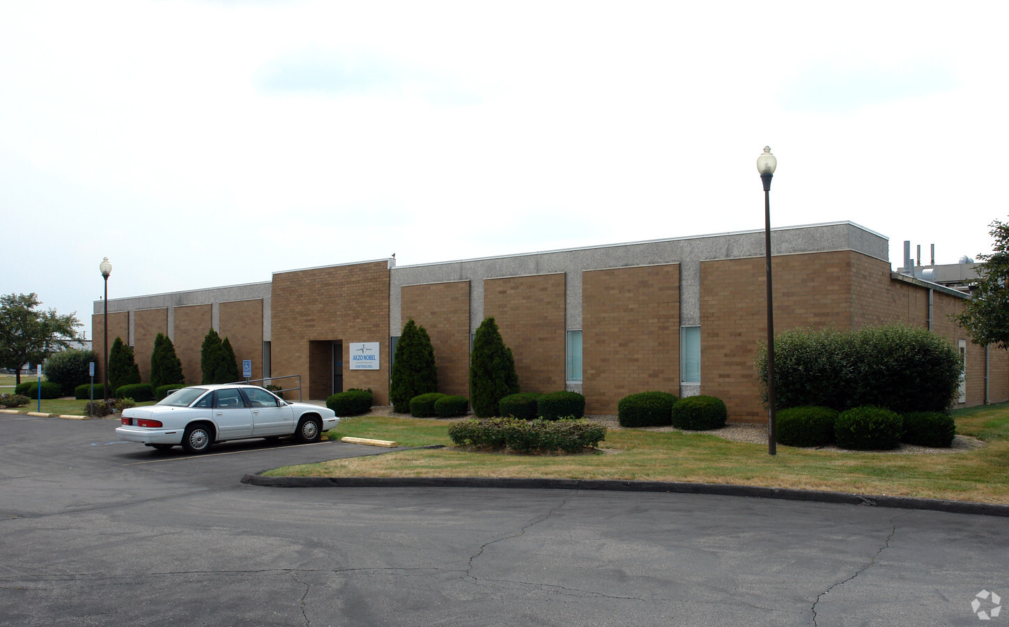
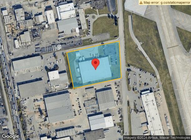
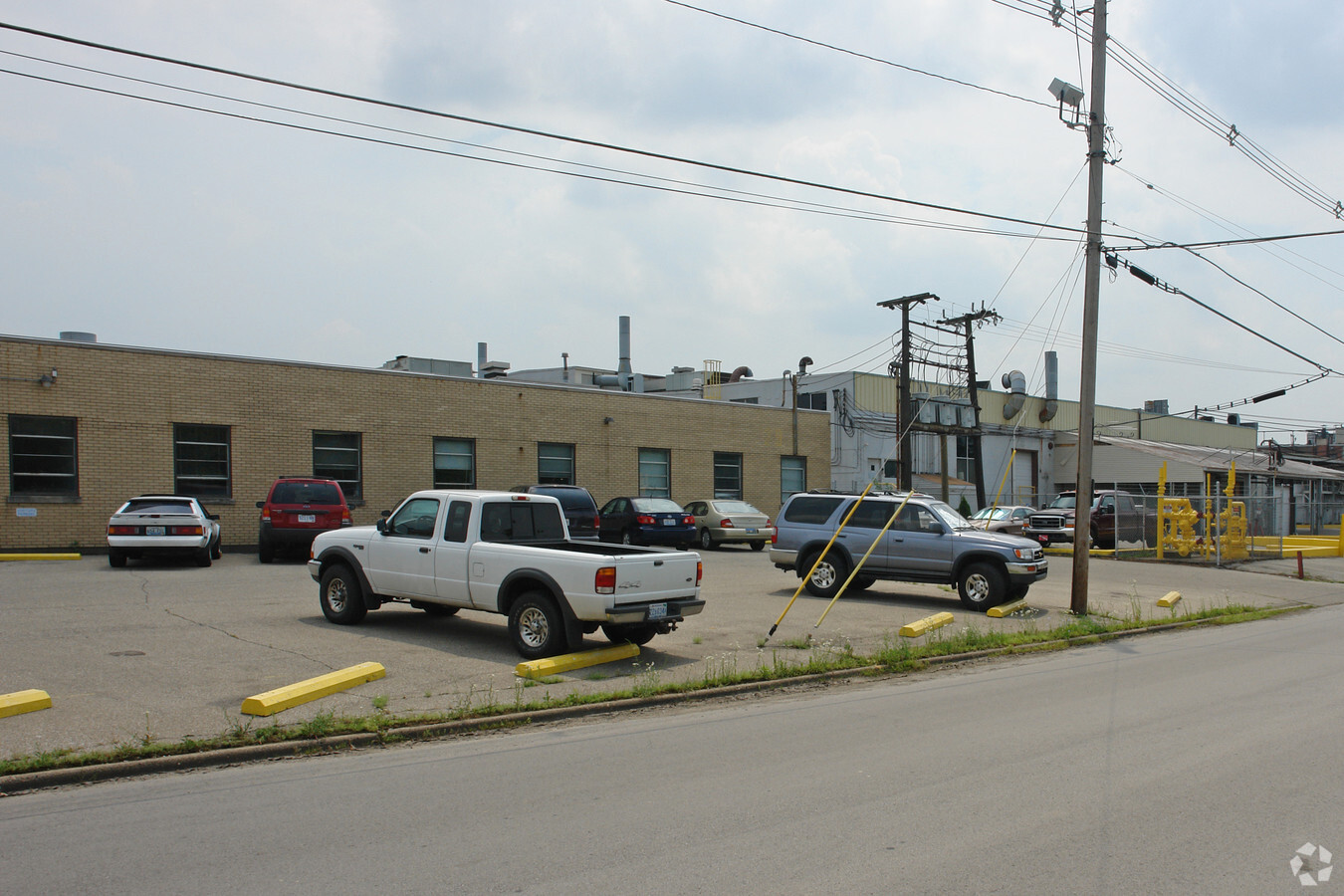
Property Record
4800 Crittenden Dr, Louisville, KY 40209
NEARBY LISTINGS FOR SALE OR LEASE
Property Detail
4800 Crittenden Dr
059D00060000
Highland Park
Warehouse
372.87X500 OFF 3 4780 CRITTENDEN DR
X
Jefferson
18043C0200E
Kentucky
2023
4.28 AC
2023
South Central
980100
Louisville
59,540 SF
Louisville-Jefferson County, KY-IN
DEMOGRAPHICS near 4800 Crittenden Dr
1 Mile
3 Mile
5 Mile
2024 Total Population
7,180
82,561
249,590
2029 Population
7,259
81,560
247,320
Pop Growth 2024-2029
+ 1.10%
(1.21%)
(0.91%)
Average Age
36
37
38
2024 Total Households
2,923
34,006
106,951
HH Growth 2024-2029
+ 0.89%
(1.34%)
(0.91%)
Median Household Inc
$44,172
$44,618
$45,297
Avg Household Size
2.40
2.30
2.20
2024 Avg HH Vehicles
1.00
1.00
1.00
Median Home Value
$142,347
$146,186
$167,555
Median Year Built
1949
1953
1956
Nearby Places
- Restaurants
- Banks
- Shops
- Fitness
- Groceries
PUBLIC TRANSPORTATION
AIRPORT
Louisville Muhammad Ali International
Drive
Walk
Distance
Louisville Muhammad Ali International
6 min
2.1 mi
Freight Ports
Port of Toledo
Drive
Walk
Distance
Port of Toledo
361 min
309.7 mi
Nearby Properties
Address
Land Use
TOTAL SIZE
Lot Size
Zoning
Address
Land Use
TOTAL SIZE
Lot Size
Zoning
42228
144.63 AC
R5-RESIDEN
Address
Land Use
TOTAL SIZE
Lot Size
Zoning
377041
469.53 AC
Address
Land Use
TOTAL SIZE
Lot Size
Zoning
85882
80.13 AC
R1-RESIDEN
Address
Land Use
TOTAL SIZE
Lot Size
Zoning
221115
97.92 AC
EZ1-ENTERP
Address
Land Use
TOTAL SIZE
Lot Size
Zoning
Address
Land Use
TOTAL SIZE
Lot Size
Zoning
17444
1.47 AC
C2-COMMERC
Address
Land Use
TOTAL SIZE
Lot Size
Zoning
1584
4.71 AC
R7-RESIDEN
Address
Land Use
TOTAL SIZE
Lot Size
Zoning
549563
26.13 AC
OTF-OFFICE
Address
Land Use
TOTAL SIZE
Lot Size
Zoning
22.14 AC
EZ1-ENTERP
Address
Land Use
TOTAL SIZE
Lot Size
Zoning
398435
9.93 AC
Address
Land Use
TOTAL SIZE
Lot Size
Zoning
58935
1.92 AC
TNZD-TRADI
Address
Land Use
TOTAL SIZE
Lot Size
Zoning
19.50 AC
Address
Land Use
TOTAL SIZE
Lot Size
Zoning
6.75 AC
M2-INDUSTR
Address
Land Use
TOTAL SIZE
Lot Size
Zoning
679250
35.34 AC
Address
Land Use
TOTAL SIZE
Lot Size
Zoning
102600
173.89 AC
EZ1-ENTERP
Address
Land Use
TOTAL SIZE
Lot Size
Zoning
16.11 AC
C1-COMMERC
Address
Land Use
TOTAL SIZE
Lot Size
Zoning
217082
26.08 AC
C1-COMMERC
Address
Land Use
TOTAL SIZE
Lot Size
Zoning
142874
21.93 AC
R5-RESIDEN
Address
Land Use
TOTAL SIZE
Lot Size
Zoning
Address
Land Use
TOTAL SIZE
Lot Size
Zoning
16.31 AC
OR1-OFFICE
Address
Land Use
TOTAL SIZE
Lot Size
Zoning
1.61 AC
EZ1-ENTERP
Address
Land Use
TOTAL SIZE
Lot Size
Zoning
636716
33.71 AC
Address
Land Use
TOTAL SIZE
Lot Size
Zoning
25326
11.36 AC
R7-RESIDEN
Address
Land Use
TOTAL SIZE
Lot Size
Zoning
2.62 AC
OR2-OFFICE
Address
Land Use
TOTAL SIZE
Lot Size
Zoning
18770
EZ1-ENTERP
Address
Land Use
TOTAL SIZE
Lot Size
Zoning
9323
31.90 AC
EZ1-ENTERP
Address
Land Use
TOTAL SIZE
Lot Size
Zoning
5568
13.52 AC
C1-COMMERC
Address
Land Use
TOTAL SIZE
Lot Size
Zoning
28.70 AC
C1-COMMERC
Address
Land Use
TOTAL SIZE
Lot Size
Zoning
Address
Land Use
TOTAL SIZE
Lot Size
Zoning
273585
42.27 AC
Start a new search to find other properties for sale or lease
Connect with us
© 2024 CoStar Group
The information above has been obtained from sources believed reliable. While we do not doubt its accuracy we have not verified it and make no guarantee, warranty or representation about it. It is your responsibility to independently confirm its accuracy and completeness. Any projections, opinions, assumptions, or estimates used are for example only and do not represent the current or future performance of the property. The value of this transaction to you depends on tax and other factors which should be evaluated by your tax, financial, and legal advisors. You and your advisors should conduct a careful, independent investigation of the property to determine to your satisfaction the suitability of the property for your needs.