Property Record
4801 Outer Loop, Louisville, KY 40219
NEARBY LISTINGS FOR SALE OR LEASE
Property Detail
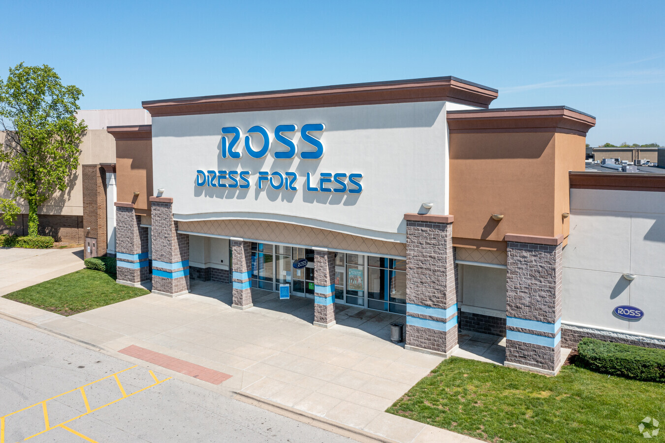
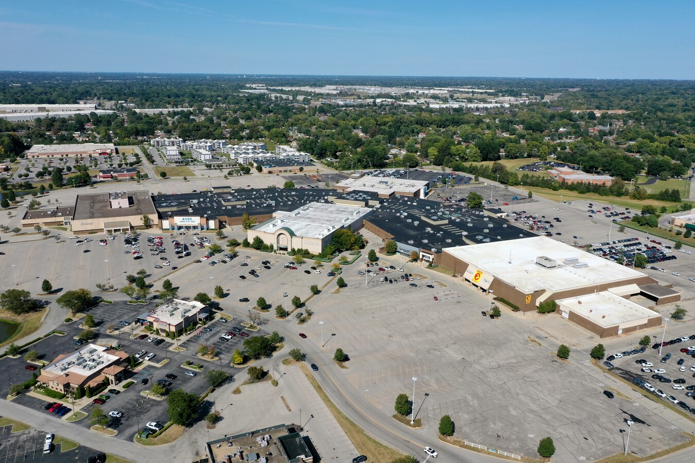
4801 Outer Loop
210900120000
Jefferson Mall
Storebuilding
25.514 AC REMAINDER OF TR 4 PB 32 PG 33
AE
Jefferson
21111C0094F
Kentucky
2024
25.51 AC
2024
South Central
011906
Louisville
407,840 SF
Louisville-Jefferson County, KY-IN
DEMOGRAPHICS near 4801 Outer Loop
1 Mile
3 Mile
5 Mile
2024 Total Population
10,678
77,304
178,189
2029 Population
10,604
76,552
176,651
Pop Growth 2024-2029
(0.69%)
(0.97%)
(0.86%)
Average Age
39
39
39
2024 Total Households
4,497
30,521
71,858
HH Growth 2024-2029
(0.73%)
(1.04%)
(0.97%)
Median Household Inc
$55,385
$56,729
$58,782
Avg Household Size
2.30
2.50
2.40
2024 Avg HH Vehicles
2.00
2.00
2.00
Median Home Value
$172,838
$166,686
$179,576
Median Year Built
1972
1972
1973
Nearby Places
- Restaurants
- Banks
- Shops
- Fitness
- Groceries
PUBLIC TRANSPORTATION
AIRPORT
Louisville Muhammad Ali International
DRIVE
WALK
Distance
Louisville Muhammad Ali International
14 min
6.6 mi
Freight Ports
Port of Toledo
DRIVE
WALK
Distance
Port of Toledo
365 min
310.8 mi
SALE & LEASE HISTORY
LISTING DATE
SALE/LEASE

Nov 04, 2016
For Lease
Dec 08, 2023
For Lease
Apr 06, 2018
For Lease
Nearby Properties
Address
Land Use
TOTAL SIZE
Lot Size
Zoning
Address
Land Use
TOTAL SIZE
Lot Size
Zoning
109.84 AC
R5-RESIDEN
Address
Land Use
TOTAL SIZE
Lot Size
Zoning
257,385 SF
176.30 AC
Address
Land Use
TOTAL SIZE
Lot Size
Zoning
61.37 AC
C2-COMMERC
Address
Land Use
TOTAL SIZE
Lot Size
Zoning
34.73 AC
Address
Land Use
TOTAL SIZE
Lot Size
Zoning
39.61 AC
Address
Land Use
TOTAL SIZE
Lot Size
Zoning
127,824 SF
53.76 AC
M2-INDUSTR
Address
Land Use
TOTAL SIZE
Lot Size
Zoning
35 AC
C2-COMMERC
Address
Land Use
TOTAL SIZE
Lot Size
Zoning
32.44 AC
Address
Land Use
TOTAL SIZE
Lot Size
Zoning
1,450 SF
87.64 AC
M2-INDUSTR
Address
Land Use
TOTAL SIZE
Lot Size
Zoning
11.17 AC
R6-RESIDEN
Address
Land Use
TOTAL SIZE
Lot Size
Zoning
13.68 AC
Address
Land Use
TOTAL SIZE
Lot Size
Zoning
14,166 SF
16.32 AC
C1-COMMERC
Address
Land Use
TOTAL SIZE
Lot Size
Zoning
1,484 SF
17.11 AC
R4-RESIDEN
Address
Land Use
TOTAL SIZE
Lot Size
Zoning
4,745 SF
17.94 AC
Address
Land Use
TOTAL SIZE
Lot Size
Zoning
1,411 SF
7.65 AC
OR1-OFFICE
Address
Land Use
TOTAL SIZE
Lot Size
Zoning
10.22 AC
C1-COMMERC
Address
Land Use
TOTAL SIZE
Lot Size
Zoning
401,443 SF
28.92 AC
M2-INDUSTR
Address
Land Use
TOTAL SIZE
Lot Size
Zoning
27.92 AC
EZ1-ENTERP
Address
Land Use
TOTAL SIZE
Lot Size
Zoning
4,000 SF
15.46 AC
C2-COMMERC
Address
Land Use
TOTAL SIZE
Lot Size
Zoning
370,297 SF
28.31 AC
M2-INDUSTR
Address
Land Use
TOTAL SIZE
Lot Size
Zoning
9.44 AC
R5-RESIDEN
Address
Land Use
TOTAL SIZE
Lot Size
Zoning
17.17 AC
EZ1-ENTERP
Address
Land Use
TOTAL SIZE
Lot Size
Zoning
402,560 SF
23.70 AC
PEC-PLANNE
Address
Land Use
TOTAL SIZE
Lot Size
Zoning
19.16 AC
Address
Land Use
TOTAL SIZE
Lot Size
Zoning
23.20 AC
EZ1-ENTERP
Address
Land Use
TOTAL SIZE
Lot Size
Zoning
18.37 AC
Address
Land Use
TOTAL SIZE
Lot Size
Zoning
16,372 SF
9.75 AC
CN-NEIGHBO
Address
Land Use
TOTAL SIZE
Lot Size
Zoning
15.08 AC
C1-COMMERC
Address
Land Use
TOTAL SIZE
Lot Size
Zoning
25,326 SF
11.36 AC
R7-RESIDEN
The World's #1 Commercial Real Estate Marketplace
Connect with us
© 2025 CoStar Group
The information above has been obtained from sources believed reliable. While we do not doubt its accuracy we have not verified it and make no guarantee, warranty or representation about it. It is your responsibility to independently confirm its accuracy and completeness. Any projections, opinions, assumptions, or estimates used are for example only and do not represent the current or future performance of the property. The value of this transaction to you depends on tax and other factors which should be evaluated by your tax, financial, and legal advisors. You and your advisors should conduct a careful, independent investigation of the property to determine to your satisfaction the suitability of the property for your needs.