Property Record
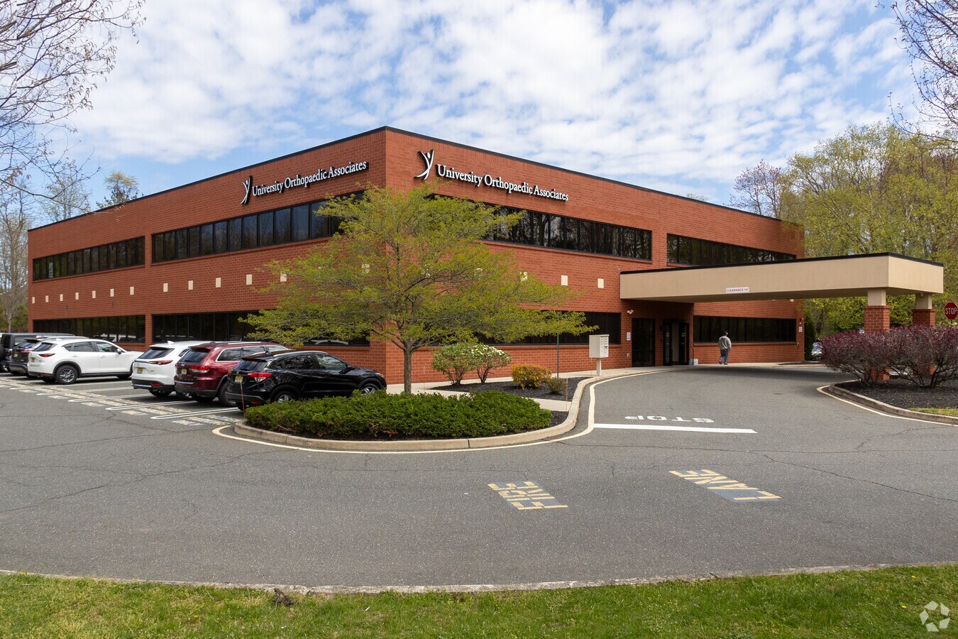
4810 Belmar Blvd, Neptune, NJ 07753


NEARBY LISTINGS FOR SALE OR LEASE
Property Detail
4810 Belmar Blvd
52-00931-0000-00015
Monmouth
Commercialnec
New Jersey
X
15
34025C0328F
4.04 AC
2023
Southern Monmouth
2024
Northern New Jersey
808600
New York-Jersey City-White Plains, NY-NJ
24,150 SF
DEMOGRAPHICS near 4810 Belmar Blvd
1 Mile
3 Mile
5 Mile
2024 Total Population
565
18,412
67,038
2029 Population
543
18,326
66,852
Pop Growth 2024-2029
(3.89%)
(0.47%)
(0.28%)
Average Age
38
45
45
2024 Total Households
190
7,518
27,144
HH Growth 2024-2029
(4.21%)
(1.05%)
(0.56%)
Median Household Inc
$117,905
$97,788
$101,752
Avg Household Size
3.00
2.30
2.40
2024 Avg HH Vehicles
2.00
2.00
2.00
Median Home Value
$584,375
$424,501
$452,582
Median Year Built
1976
1990
1980
Nearby Places
- Restaurants
- Banks
- Shops
- Fitness
- Groceries
PUBLIC TRANSPORTATION
COMMUTER RAIL
Belmar (North Jersey Coast Line - NJ Transit Commuter Rail (NJ Transit))
Drive
Walk
Distance
Belmar (North Jersey Coast Line - NJ Transit Commuter Rail (NJ Transit))
10 min
7.3 mi
Bradley Beach (North Jersey Coast Line - NJ Transit Commuter Rail (NJ Transit))
Drive
Walk
Distance
Bradley Beach (North Jersey Coast Line - NJ Transit Commuter Rail (NJ Transit))
12 min
8.4 mi
Freight Ports
New York Container Terminal
Drive
Walk
Distance
New York Container Terminal
54 min
42.1 mi
SALE & LEASE HISTORY
LISTING DATE
SALE/LEASE

Sep 25, 2016
For Lease
Mar 10, 2017
For Sale
Aug 10, 2023
For Sale
Apr 19, 2017
For Lease
Nearby Properties
Address
Land Use
TOTAL SIZE
Lot Size
Zoning
Address
Land Use
TOTAL SIZE
Lot Size
Zoning
434405
52.92 AC
RT66
Address
Land Use
TOTAL SIZE
Lot Size
Zoning
4289
94.37 AC
CCRC
Address
Land Use
TOTAL SIZE
Lot Size
Zoning
152121
22.16 AC
OR10
Address
Land Use
TOTAL SIZE
Lot Size
Zoning
37.47 AC
AH
Address
Land Use
TOTAL SIZE
Lot Size
Zoning
192708
33.36 AC
OR10
Address
Land Use
TOTAL SIZE
Lot Size
Zoning
181064
14.62 AC
IL
Address
Land Use
TOTAL SIZE
Lot Size
Zoning
13 AC
R-40
Address
Land Use
TOTAL SIZE
Lot Size
Zoning
13200
18.63 AC
PUDR
Address
Land Use
TOTAL SIZE
Lot Size
Zoning
183932
23.51 AC
IL
Address
Land Use
TOTAL SIZE
Lot Size
Zoning
25536
21.95 AC
OR10
Address
Land Use
TOTAL SIZE
Lot Size
Zoning
17586
386.01 AC
POS
Address
Land Use
TOTAL SIZE
Lot Size
Zoning
28819
13.59 AC
ES
Address
Land Use
TOTAL SIZE
Lot Size
Zoning
912
201.36 AC
RRC
Address
Land Use
TOTAL SIZE
Lot Size
Zoning
3400
262.97 AC
AI
Address
Land Use
TOTAL SIZE
Lot Size
Zoning
332213
26.55 AC
OR10
Address
Land Use
TOTAL SIZE
Lot Size
Zoning
117915
17.32 AC
C-1
Address
Land Use
TOTAL SIZE
Lot Size
Zoning
8749
5.73 AC
OPML
Address
Land Use
TOTAL SIZE
Lot Size
Zoning
2976
336.41 AC
POS
Address
Land Use
TOTAL SIZE
Lot Size
Zoning
103.42 AC
OSGS
Address
Land Use
TOTAL SIZE
Lot Size
Zoning
7064
10.62 AC
OR10
Address
Land Use
TOTAL SIZE
Lot Size
Zoning
71660
4.45 AC
C-1
Address
Land Use
TOTAL SIZE
Lot Size
Zoning
12.74 AC
CCRC
Address
Land Use
TOTAL SIZE
Lot Size
Zoning
99184
22.68 AC
R-2
Address
Land Use
TOTAL SIZE
Lot Size
Zoning
14874
12.49 AC
OP10
Address
Land Use
TOTAL SIZE
Lot Size
Zoning
142676
10.47 AC
OR-2
Address
Land Use
TOTAL SIZE
Lot Size
Zoning
3474
4.12 AC
OR10
Address
Land Use
TOTAL SIZE
Lot Size
Zoning
76289
3.44 AC
R20
Address
Land Use
TOTAL SIZE
Lot Size
Zoning
79746
9.06 AC
OR10
Address
Land Use
TOTAL SIZE
Lot Size
Zoning
8.26 AC
C-5
Address
Land Use
TOTAL SIZE
Lot Size
Zoning
4060
270.36 AC
CR40
Start a new search to find other properties for sale or lease
Connect with us
© 2024 CoStar Group
The information above has been obtained from sources believed reliable. While we do not doubt its accuracy we have not verified it and make no guarantee, warranty or representation about it. It is your responsibility to independently confirm its accuracy and completeness. Any projections, opinions, assumptions, or estimates used are for example only and do not represent the current or future performance of the property. The value of this transaction to you depends on tax and other factors which should be evaluated by your tax, financial, and legal advisors. You and your advisors should conduct a careful, independent investigation of the property to determine to your satisfaction the suitability of the property for your needs.