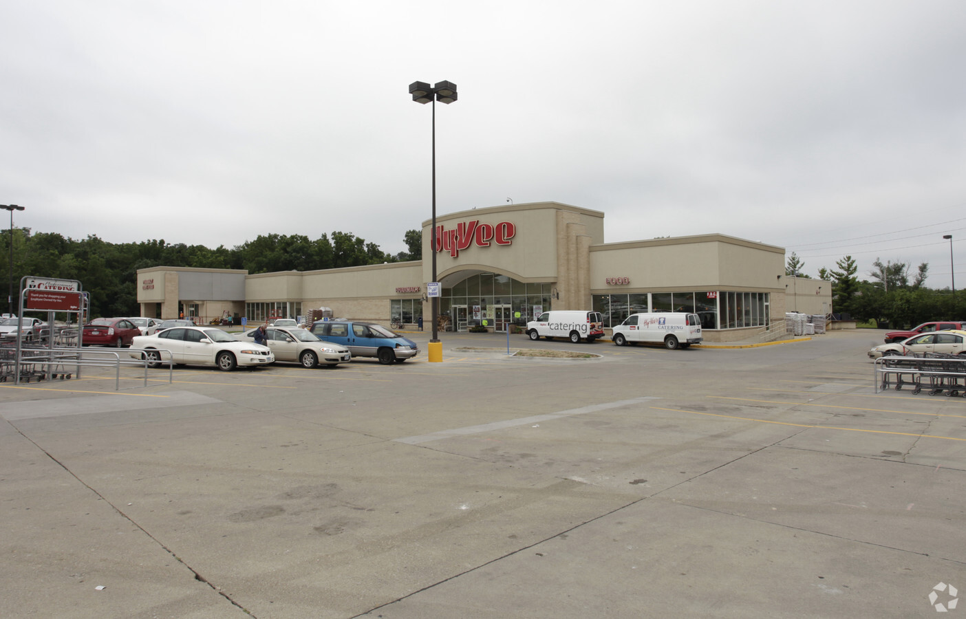
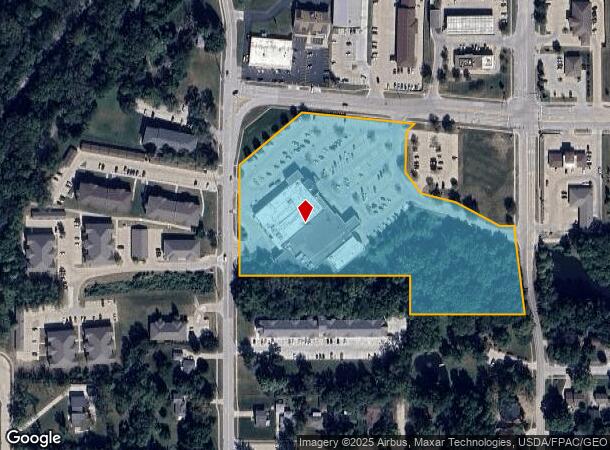
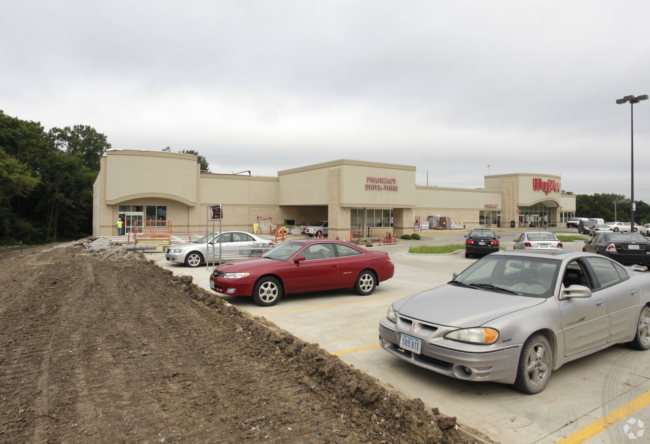
Property Record
4815 Maple Dr, Pleasant Hill, IA 50327
NEARBY LISTINGS FOR SALE OR LEASE
Property Detail
4815 Maple Dr
Des Moines-West Des Moines, IA
Hy Vee Plat 1
221-00194001000
LT 1 HY-VEE PLAT 1
Storebuilding
Polk
X
Iowa
19153C0360F
1
2024
7.33 AC
2024
Northeast
010803
Des Moines
49,708 SF
DEMOGRAPHICS near 4815 Maple Dr
1 Mile
3 Mile
5 Mile
2024 Total Population
6,654
41,724
106,940
2029 Population
6,905
43,408
111,522
Pop Growth 2024-2029
+ 3.77%
+ 4.04%
+ 4.28%
Average Age
41
39
38
2024 Total Households
2,675
16,177
41,089
HH Growth 2024-2029
+ 3.85%
+ 4.16%
+ 4.54%
Median Household Inc
$69,673
$64,886
$64,160
Avg Household Size
2.50
2.50
2.50
2024 Avg HH Vehicles
2.00
2.00
2.00
Median Home Value
$227,566
$174,217
$175,758
Median Year Built
1989
1973
1977
Nearby Places
- Restaurants
- Banks
- Shops
- Fitness
- Groceries
PUBLIC TRANSPORTATION
AIRPORT
Des Moines International
DRIVE
WALK
Distance
Des Moines International
25 min
11.8 mi
Freight Ports
Port Milwaukee
DRIVE
WALK
Distance
Port Milwaukee
412 min
370.7 mi
Nearby Properties
Address
Land Use
TOTAL SIZE
Lot Size
Zoning
Address
Land Use
TOTAL SIZE
Lot Size
Zoning
386,794 SF
27.39 AC
Address
Land Use
TOTAL SIZE
Lot Size
Zoning
350,879 SF
16.14 AC
Address
Land Use
TOTAL SIZE
Lot Size
Zoning
475,929 SF
49.86 AC
M2
Address
Land Use
TOTAL SIZE
Lot Size
Zoning
320,429 SF
22.34 AC
R3
Address
Land Use
TOTAL SIZE
Lot Size
Zoning
99,309 SF
5.49 AC
PUD
Address
Land Use
TOTAL SIZE
Lot Size
Zoning
191,638 SF
18.73 AC
Address
Land Use
TOTAL SIZE
Lot Size
Zoning
175,854 SF
22.81 AC
Address
Land Use
TOTAL SIZE
Lot Size
Zoning
1,890,511 SF
39.03 AC
M-2
Address
Land Use
TOTAL SIZE
Lot Size
Zoning
201,072 SF
26.81 AC
Address
Land Use
TOTAL SIZE
Lot Size
Zoning
155,276 SF
6.66 AC
R-4
Address
Land Use
TOTAL SIZE
Lot Size
Zoning
119,265 SF
18.24 AC
Address
Land Use
TOTAL SIZE
Lot Size
Zoning
47,267 SF
22.69 AC
R-4
Address
Land Use
TOTAL SIZE
Lot Size
Zoning
45,004 SF
5.68 AC
Address
Land Use
TOTAL SIZE
Lot Size
Zoning
39,936 SF
4.62 AC
R-4
Address
Land Use
TOTAL SIZE
Lot Size
Zoning
55,091 SF
1.40 AC
Address
Land Use
TOTAL SIZE
Lot Size
Zoning
65,079 SF
6.19 AC
R-2
Address
Land Use
TOTAL SIZE
Lot Size
Zoning
70,148 SF
5.52 AC
Address
Land Use
TOTAL SIZE
Lot Size
Zoning
123,059 SF
27.23 AC
M2
Address
Land Use
TOTAL SIZE
Lot Size
Zoning
31,544 SF
9.38 AC
R1-80
Address
Land Use
TOTAL SIZE
Lot Size
Zoning
89,286 SF
14.49 AC
R1-60
Address
Land Use
TOTAL SIZE
Lot Size
Zoning
80,000 SF
6.53 AC
Address
Land Use
TOTAL SIZE
Lot Size
Zoning
71,730 SF
6.39 AC
I-2
Address
Land Use
TOTAL SIZE
Lot Size
Zoning
99,200 SF
7 AC
I-2
Address
Land Use
TOTAL SIZE
Lot Size
Zoning
107,190 SF
12.32 AC
C-4
Address
Land Use
TOTAL SIZE
Lot Size
Zoning
107,640 SF
9.57 AC
Address
Land Use
TOTAL SIZE
Lot Size
Zoning
63,152 SF
10 AC
A-1
Address
Land Use
TOTAL SIZE
Lot Size
Zoning
63,324 SF
9.99 AC
Address
Land Use
TOTAL SIZE
Lot Size
Zoning
64,917 SF
4.86 AC
Address
Land Use
TOTAL SIZE
Lot Size
Zoning
56,281 SF
5.80 AC
C-1
Address
Land Use
TOTAL SIZE
Lot Size
Zoning
16.80 AC
M-1
The World's #1 Commercial Real Estate Marketplace
Connect with us
© 2025 CoStar Group
The information above has been obtained from sources believed reliable. While we do not doubt its accuracy we have not verified it and make no guarantee, warranty or representation about it. It is your responsibility to independently confirm its accuracy and completeness. Any projections, opinions, assumptions, or estimates used are for example only and do not represent the current or future performance of the property. The value of this transaction to you depends on tax and other factors which should be evaluated by your tax, financial, and legal advisors. You and your advisors should conduct a careful, independent investigation of the property to determine to your satisfaction the suitability of the property for your needs.