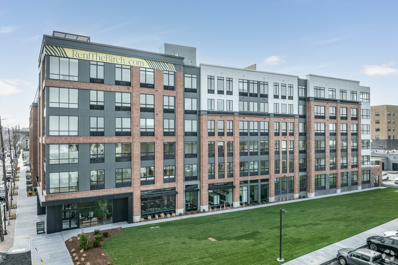
Property Record
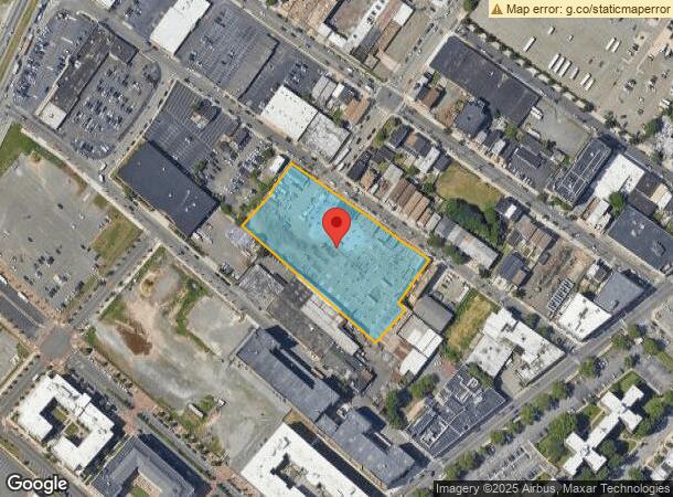
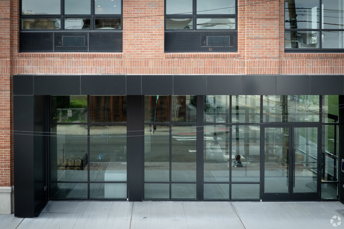
49 Fisk St, Jersey City, NJ 07305
NEARBY LISTINGS FOR SALE OR LEASE
Property Detail
49 Fisk St
06-22103-0000-00001
Hudson
Apartment
New Jersey
X
1
34013C0200F
2.54 AC
2023
Hackensack River Waterfront
2024
Northern New Jersey
004800
New York-Jersey City-White Plains, NY-NJ
DEMOGRAPHICS near 49 Fisk St
1 Mile
3 Mile
5 Mile
2024 Total Population
49,969
255,924
728,120
2029 Population
46,761
247,033
699,530
Pop Growth 2024-2029
(6.42%)
(3.47%)
(3.93%)
Average Age
38
37
37
2024 Total Households
17,410
101,496
304,157
HH Growth 2024-2029
(7.00%)
(3.66%)
(4.16%)
Median Household Inc
$65,563
$77,823
$89,892
Avg Household Size
2.70
2.40
2.30
2024 Avg HH Vehicles
1.00
1.00
1.00
Median Home Value
$370,418
$453,053
$596,136
Median Year Built
1960
1965
1966
Nearby Places
- Restaurants
- Banks
- Shops
- Fitness
- Groceries
PUBLIC TRANSPORTATION
TRANSIT/SUBWAY
West Side Avenue (West Side Avenue-Tonnelle Avenue - Hudson-Bergen Light Rail (Hudson-Bergen Light Rail))
DRIVE
WALK
Distance
West Side Avenue (West Side Avenue-Tonnelle Avenue - Hudson-Bergen Light Rail (Hudson-Bergen Light Rail))
1 min
7 min
0.4 mi
Martin Luther King Drive (West Side Avenue-Tonnelle Avenue - Hudson-Bergen Light Rail (Hudson-Bergen Light Rail))
DRIVE
WALK
Distance
Martin Luther King Drive (West Side Avenue-Tonnelle Avenue - Hudson-Bergen Light Rail (Hudson-Bergen Light Rail))
5 min
20 min
1.1 mi
COMMUTER RAIL
Journal Square (Journal Square-33rd Street - Port Authority Trans-Hudson (PATH), Newark Penn Station-World Trade Center - Port Authority Trans-Hudson (PATH))
DRIVE
WALK
Distance
Journal Square (Journal Square-33rd Street - Port Authority Trans-Hudson (PATH), Newark Penn Station-World Trade Center - Port Authority Trans-Hudson (PATH))
6 min
2.4 mi
Grove Street (Journal Square-33rd Street - Port Authority Trans-Hudson (PATH), Newark Penn Station-World Trade Center - Port Authority Trans-Hudson (PATH))
DRIVE
WALK
Distance
Grove Street (Journal Square-33rd Street - Port Authority Trans-Hudson (PATH), Newark Penn Station-World Trade Center - Port Authority Trans-Hudson (PATH))
7 min
3.4 mi
AIRPORT
Newark Liberty International
DRIVE
WALK
Distance
Newark Liberty International
13 min
7.2 mi
Laguardia
DRIVE
WALK
Distance
Laguardia
35 min
16.9 mi
John F Kennedy International
DRIVE
WALK
Distance
John F Kennedy International
45 min
25.1 mi
Freight Ports
GCT Bayonne
DRIVE
WALK
Distance
GCT Bayonne
12 min
4.6 mi
Nearby Properties
Address
Land Use
TOTAL SIZE
Lot Size
Zoning
Address
Land Use
TOTAL SIZE
Lot Size
Zoning
9.33 AC
C-1
Address
Land Use
TOTAL SIZE
Lot Size
Zoning
229.72 AC
Address
Land Use
TOTAL SIZE
Lot Size
Zoning
25.69 AC
Address
Land Use
TOTAL SIZE
Lot Size
Zoning
98.48 AC
Address
Land Use
TOTAL SIZE
Lot Size
Zoning
1.71 AC
C-1
Address
Land Use
TOTAL SIZE
Lot Size
Zoning
131.26 AC
Address
Land Use
TOTAL SIZE
Lot Size
Zoning
0.66 AC
Address
Land Use
TOTAL SIZE
Lot Size
Zoning
4.51 AC
Address
Land Use
TOTAL SIZE
Lot Size
Zoning
0.72 AC
Address
Land Use
TOTAL SIZE
Lot Size
Zoning
0.90 AC
Address
Land Use
TOTAL SIZE
Lot Size
Zoning
Address
Land Use
TOTAL SIZE
Lot Size
Zoning
1.83 AC
I-2
Address
Land Use
TOTAL SIZE
Lot Size
Zoning
1.60 AC
C-4
Address
Land Use
TOTAL SIZE
Lot Size
Zoning
Address
Land Use
TOTAL SIZE
Lot Size
Zoning
Address
Land Use
TOTAL SIZE
Lot Size
Zoning
169.40 AC
Address
Land Use
TOTAL SIZE
Lot Size
Zoning
0.71 AC
Address
Land Use
TOTAL SIZE
Lot Size
Zoning
Address
Land Use
TOTAL SIZE
Lot Size
Zoning
9.28 AC
Address
Land Use
TOTAL SIZE
Lot Size
Zoning
2.24 AC
Address
Land Use
TOTAL SIZE
Lot Size
Zoning
Address
Land Use
TOTAL SIZE
Lot Size
Zoning
0.02 AC
Address
Land Use
TOTAL SIZE
Lot Size
Zoning
1.14 AC
Address
Land Use
TOTAL SIZE
Lot Size
Zoning
Address
Land Use
TOTAL SIZE
Lot Size
Zoning
1.71 AC
C-1
Address
Land Use
TOTAL SIZE
Lot Size
Zoning
3.15 AC
Address
Land Use
TOTAL SIZE
Lot Size
Zoning
Address
Land Use
TOTAL SIZE
Lot Size
Zoning
Address
Land Use
TOTAL SIZE
Lot Size
Zoning
1.38 AC
Address
Land Use
TOTAL SIZE
Lot Size
Zoning
1.49 AC
The World's #1 Commercial Real Estate Marketplace
Connect with us
© 2025 CoStar Group
The information above has been obtained from sources believed reliable. While we do not doubt its accuracy we have not verified it and make no guarantee, warranty or representation about it. It is your responsibility to independently confirm its accuracy and completeness. Any projections, opinions, assumptions, or estimates used are for example only and do not represent the current or future performance of the property. The value of this transaction to you depends on tax and other factors which should be evaluated by your tax, financial, and legal advisors. You and your advisors should conduct a careful, independent investigation of the property to determine to your satisfaction the suitability of the property for your needs.