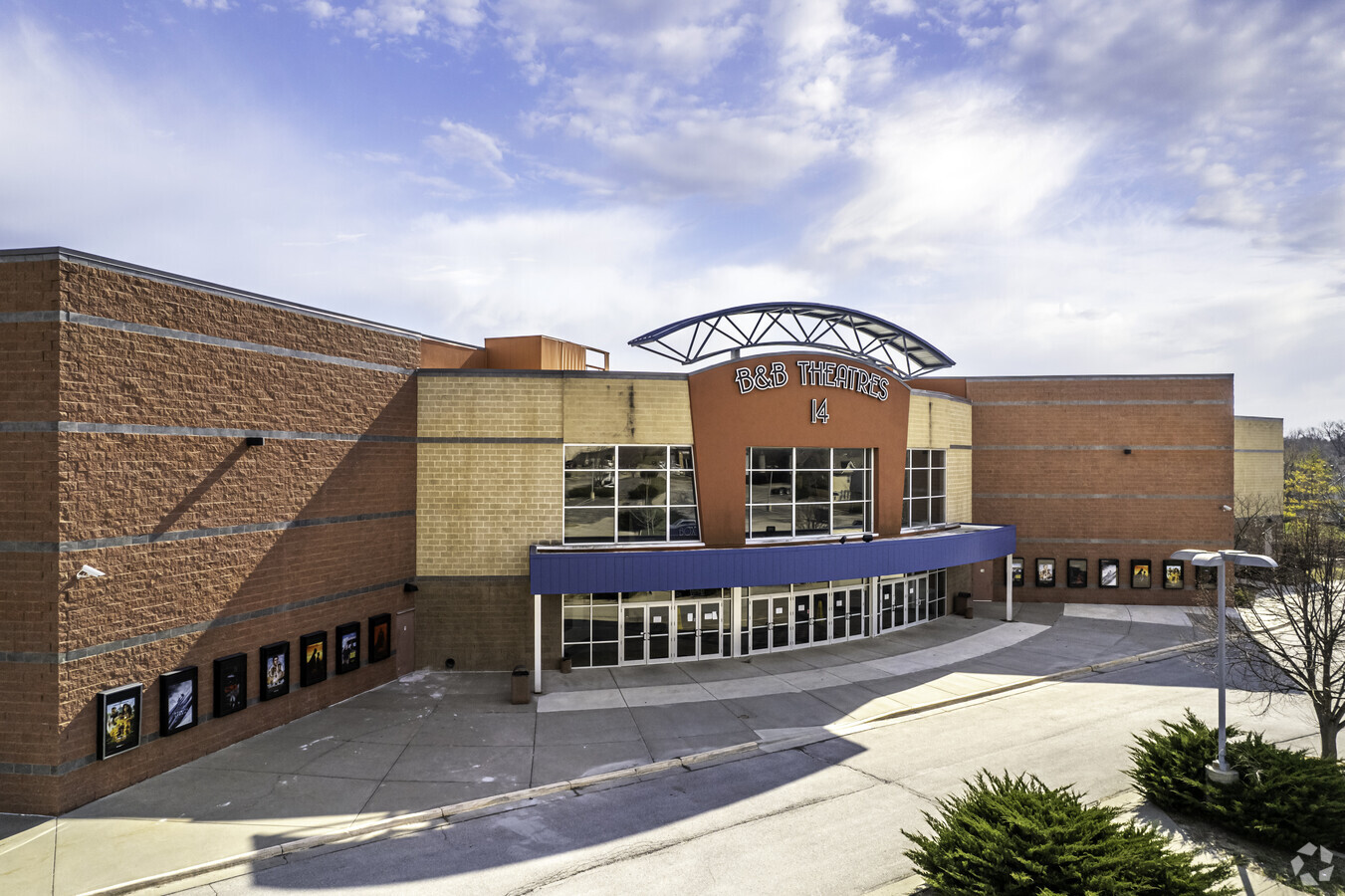
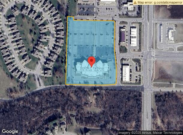
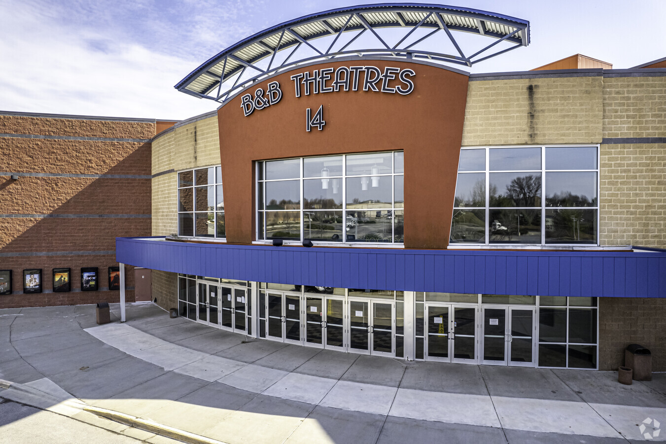
Property Record
4900 Ne 80Th St, Kansas City, MO 64119
NEARBY LISTINGS FOR SALE OR LEASE
Property Detail
4900 Ne 80Th St
Kansas City, MO-KS
Commerce Center
14-119-00-07-007.00
HIGHWAY 152 COMMERCE CENTER LT 1
Commercialnec
Clay
X
Missouri
29095C0132G
1
2024
7.38 AC
2024
I-35 Corridor
021210
Kansas City
DEMOGRAPHICS near 4900 Ne 80Th St
1 Mile
3 Mile
5 Mile
2024 Total Population
5,618
55,915
166,703
2029 Population
5,985
58,649
175,014
Pop Growth 2024-2029
+ 6.53%
+ 4.89%
+ 4.99%
Average Age
38
40
39
2024 Total Households
2,376
22,750
66,110
HH Growth 2024-2029
+ 6.61%
+ 4.96%
+ 5.02%
Median Household Inc
$79,723
$80,772
$76,389
Avg Household Size
2.30
2.40
2.50
2024 Avg HH Vehicles
2.00
2.00
2.00
Median Home Value
$305,503
$253,023
$233,191
Median Year Built
2007
1992
1987
Nearby Places
- Restaurants
- Banks
- Shops
- Fitness
- Groceries
PUBLIC TRANSPORTATION
AIRPORT
Kansas City International
DRIVE
WALK
Distance
Kansas City International
20 min
14.7 mi
Freight Ports
Tulsa Port Of Catoosa
DRIVE
WALK
Distance
Tulsa Port Of Catoosa
284 min
252.6 mi
Nearby Properties
Address
Land Use
TOTAL SIZE
Lot Size
Zoning
Address
Land Use
TOTAL SIZE
Lot Size
Zoning
11.07 AC
Address
Land Use
TOTAL SIZE
Lot Size
Zoning
Address
Land Use
TOTAL SIZE
Lot Size
Zoning
68.42 AC
Address
Land Use
TOTAL SIZE
Lot Size
Zoning
50.67 AC
Address
Land Use
TOTAL SIZE
Lot Size
Zoning
12.80 AC
Address
Land Use
TOTAL SIZE
Lot Size
Zoning
Address
Land Use
TOTAL SIZE
Lot Size
Zoning
22.13 AC
Address
Land Use
TOTAL SIZE
Lot Size
Zoning
4.67 AC
Address
Land Use
TOTAL SIZE
Lot Size
Zoning
14.01 AC
Address
Land Use
TOTAL SIZE
Lot Size
Zoning
15.48 AC
Address
Land Use
TOTAL SIZE
Lot Size
Zoning
1,763 SF
10.06 AC
Address
Land Use
TOTAL SIZE
Lot Size
Zoning
11.03 AC
Address
Land Use
TOTAL SIZE
Lot Size
Zoning
5.69 AC
Address
Land Use
TOTAL SIZE
Lot Size
Zoning
15.14 AC
Address
Land Use
TOTAL SIZE
Lot Size
Zoning
Address
Land Use
TOTAL SIZE
Lot Size
Zoning
Address
Land Use
TOTAL SIZE
Lot Size
Zoning
13.01 AC
Address
Land Use
TOTAL SIZE
Lot Size
Zoning
Address
Land Use
TOTAL SIZE
Lot Size
Zoning
0.86 AC
Address
Land Use
TOTAL SIZE
Lot Size
Zoning
10.82 AC
Address
Land Use
TOTAL SIZE
Lot Size
Zoning
4.57 AC
Address
Land Use
TOTAL SIZE
Lot Size
Zoning
Address
Land Use
TOTAL SIZE
Lot Size
Zoning
5,456 SF
441.58 AC
Address
Land Use
TOTAL SIZE
Lot Size
Zoning
10.23 AC
Address
Land Use
TOTAL SIZE
Lot Size
Zoning
Address
Land Use
TOTAL SIZE
Lot Size
Zoning
27.19 AC
Address
Land Use
TOTAL SIZE
Lot Size
Zoning
Address
Land Use
TOTAL SIZE
Lot Size
Zoning
Address
Land Use
TOTAL SIZE
Lot Size
Zoning
11.30 AC
Address
Land Use
TOTAL SIZE
Lot Size
Zoning
4,616 SF
19.29 AC
The World's #1 Commercial Real Estate Marketplace
Connect with us
© 2025 CoStar Group
The information above has been obtained from sources believed reliable. While we do not doubt its accuracy we have not verified it and make no guarantee, warranty or representation about it. It is your responsibility to independently confirm its accuracy and completeness. Any projections, opinions, assumptions, or estimates used are for example only and do not represent the current or future performance of the property. The value of this transaction to you depends on tax and other factors which should be evaluated by your tax, financial, and legal advisors. You and your advisors should conduct a careful, independent investigation of the property to determine to your satisfaction the suitability of the property for your needs.