Property Record
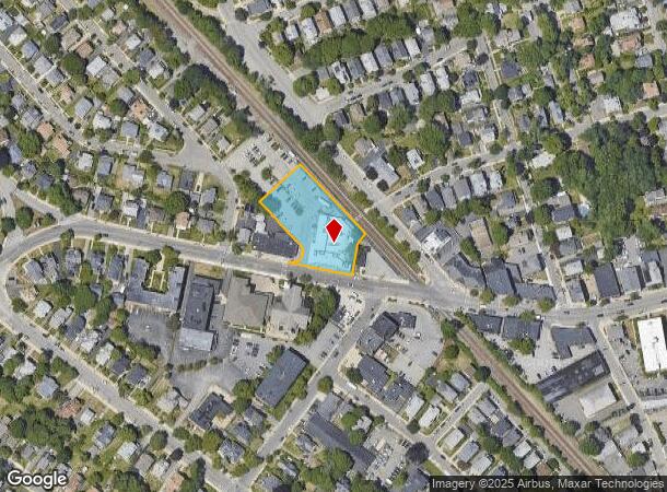
491 High St, Medford, MA 02155

NEARBY LISTINGS FOR SALE OR LEASE
Property Detail
491 High St
Departmentstore
Middlesex
X
Massachusetts
25017C0417F
0.90 AC
2025
Medford/Malden
2025
Boston
339200
Boston-Cambridge-Newton, MA-NH
13,036 SF
MEDF-000003-000000-K000068
DEMOGRAPHICS near 491 High St
1 Mile
3 Mile
5 Mile
2024 Total Population
25,579
222,972
613,931
2029 Population
24,994
218,584
601,482
Pop Growth 2024-2029
(2.29%)
(1.97%)
(2.03%)
Average Age
41
39
39
2024 Total Households
10,552
91,317
249,650
HH Growth 2024-2029
(2.45%)
(2.11%)
(2.11%)
Median Household Inc
$110,515
$122,824
$109,232
Avg Household Size
2.30
2.30
2.30
2024 Avg HH Vehicles
1.00
1.00
1.00
Median Home Value
$736,467
$831,736
$786,676
Median Year Built
1948
1948
1949
Nearby Places
Map Layers
Map Styles
 Street
 Aerial
- Restaurants
- Banks
- Shops
- Fitness
- Groceries
PUBLIC TRANSPORTATION
TRANSIT/SUBWAY
West Medford (Lowell Line - Massachusetts Bay Transportation Authority Commuter Rail (Purple Line))
DRIVE
WALK
Distance
West Medford (Lowell Line - Massachusetts Bay Transportation Authority Commuter Rail (Purple Line))
1 min
2 min
0.1 mi
COMMUTER RAIL
West Medford (Lowell Line - Massachusetts Bay Transportation Authority Commuter Rail (Purple Line))
DRIVE
WALK
Distance
West Medford (Lowell Line - Massachusetts Bay Transportation Authority Commuter Rail (Purple Line))
1 min
2 min
0.1 mi
Wedgemere (Lowell Line - Massachusetts Bay Transportation Authority Commuter Rail (Purple Line))
DRIVE
WALK
Distance
Wedgemere (Lowell Line - Massachusetts Bay Transportation Authority Commuter Rail (Purple Line))
5 min
2.2 mi
AIRPORT
General Edward Lawrence Logan International
DRIVE
WALK
Distance
General Edward Lawrence Logan International
17 min
9.1 mi
Nearby Properties
Address
Land Use
TOTAL SIZE
Lot Size
Zoning
Address
Land Use
TOTAL SIZE
Lot Size
Zoning
283,554 SF
2.76 AC
O-2A
Address
Land Use
TOTAL SIZE
Lot Size
Zoning
54,500 SF
4.01 AC
O-2A
Address
Land Use
TOTAL SIZE
Lot Size
Zoning
47.67 AC
UN
Address
Land Use
TOTAL SIZE
Lot Size
Zoning
2.87 AC
O-2A
Address
Land Use
TOTAL SIZE
Lot Size
Zoning
213,834 SF
1.48 AC
SD-4
Address
Land Use
TOTAL SIZE
Lot Size
Zoning
224,115 SF
2.35 AC
O-2A
Address
Land Use
TOTAL SIZE
Lot Size
Zoning
244,008 SF
4 AC
SD-4A
Address
Land Use
TOTAL SIZE
Lot Size
Zoning
43.90 AC
Address
Land Use
TOTAL SIZE
Lot Size
Zoning
Address
Land Use
TOTAL SIZE
Lot Size
Zoning
530,113 SF
29.43 AC
Address
Land Use
TOTAL SIZE
Lot Size
Zoning
13.48 AC
Address
Land Use
TOTAL SIZE
Lot Size
Zoning
117,783 SF
0.63 AC
Address
Land Use
TOTAL SIZE
Lot Size
Zoning
16.96 AC
UN
Address
Land Use
TOTAL SIZE
Lot Size
Zoning
12.90 AC
R
Address
Land Use
TOTAL SIZE
Lot Size
Zoning
16.79 AC
BA
Address
Land Use
TOTAL SIZE
Lot Size
Zoning
21,024 SF
18.19 AC
Address
Land Use
TOTAL SIZE
Lot Size
Zoning
155,866 SF
2.60 AC
O-1
Address
Land Use
TOTAL SIZE
Lot Size
Zoning
3.69 AC
C-2B
Address
Land Use
TOTAL SIZE
Lot Size
Zoning
253,859 SF
3.18 AC
Address
Land Use
TOTAL SIZE
Lot Size
Zoning
145,839 SF
1.81 AC
O-2A
Address
Land Use
TOTAL SIZE
Lot Size
Zoning
160,900 SF
0.64 AC
C-2
Address
Land Use
TOTAL SIZE
Lot Size
Zoning
7,736 SF
24.56 AC
UR
Address
Land Use
TOTAL SIZE
Lot Size
Zoning
Address
Land Use
TOTAL SIZE
Lot Size
Zoning
153,732 SF
12.50 AC
SCI
Address
Land Use
TOTAL SIZE
Lot Size
Zoning
218,825 SF
2.93 AC
O-2A
Address
Land Use
TOTAL SIZE
Lot Size
Zoning
139,520 SF
1.21 AC
SD-4
Address
Land Use
TOTAL SIZE
Lot Size
Zoning
44.94 AC
R2
Address
Land Use
TOTAL SIZE
Lot Size
Zoning
208,852 SF
16.17 AC
MU
Address
Land Use
TOTAL SIZE
Lot Size
Zoning
292,515 SF
21.61 AC
Address
Land Use
TOTAL SIZE
Lot Size
Zoning
38.10 AC
B
The World's #1 Commercial Real Estate Marketplace
Connect with us
© 2025 CoStar Group
The information above has been obtained from sources believed reliable. While we do not doubt its accuracy we have not verified it and make no guarantee, warranty or representation about it. It is your responsibility to independently confirm its accuracy and completeness. Any projections, opinions, assumptions, or estimates used are for example only and do not represent the current or future performance of the property. The value of this transaction to you depends on tax and other factors which should be evaluated by your tax, financial, and legal advisors. You and your advisors should conduct a careful, independent investigation of the property to determine to your satisfaction the suitability of the property for your needs.