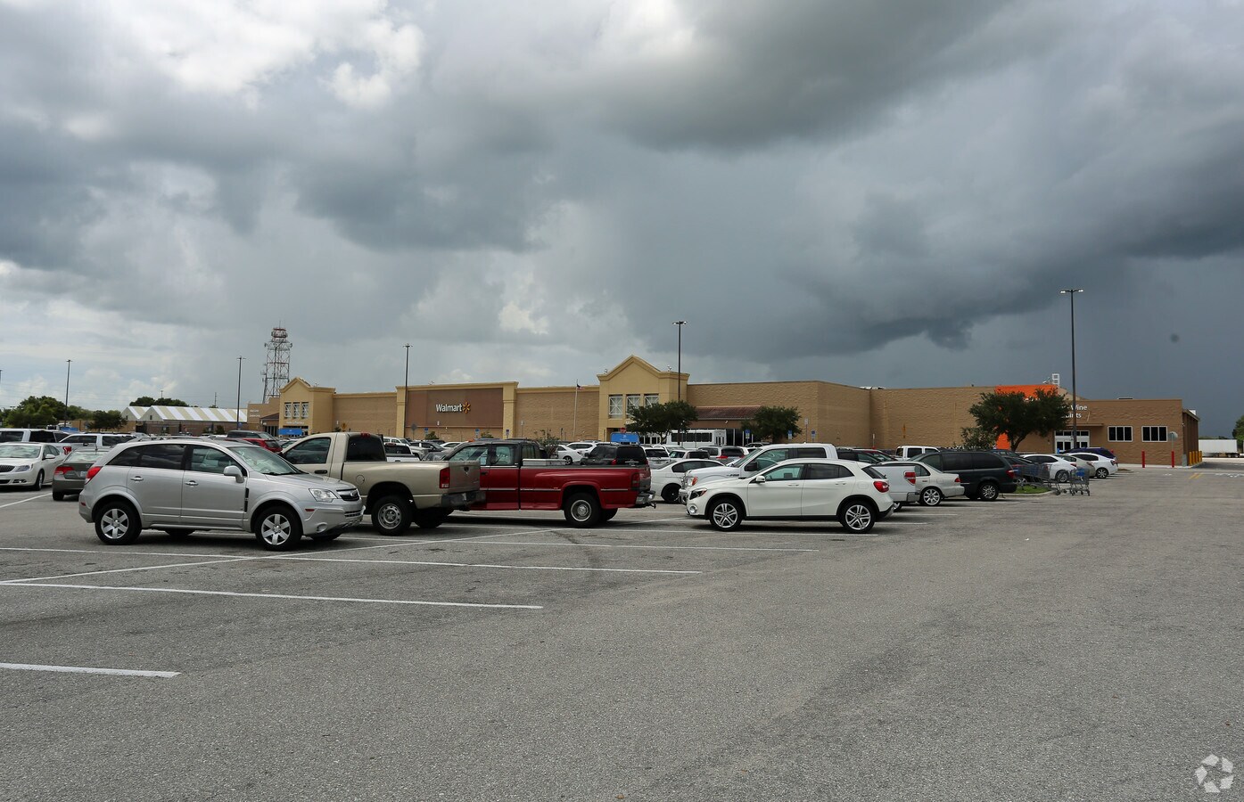
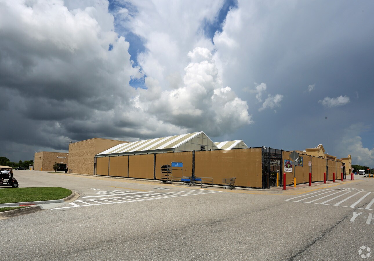
Property Record
4928 674 Hwy, Wimauma, FL 33598

NEARBY LISTINGS FOR SALE OR LEASE
Property Detail
4928 674 Hwy
Tampa-St. Petersburg-Clearwater, FL
Davis And Dowdell Addition To Town Of Wi
U-08-32-20-2XN-000000-00001.3
DAVIS AND DOWDELL ADDITION TO TOWN OF WIMAUMA PART OF TRACTS 5 6 10 11 12 13 14 AND 15 AND UNNAMED ROADS DESC AS FOLLOWS: COMM AT SW COR OF NW 1/4 OF SEC 8 RUN N 00 DEG 31 MIN 07 SEC W 132.47 FT THN N 89 DEG 28 MIN 53 SEC E 132 FT TO POB SD PT BEING
Departmentstore
Hillsborough
AE
Florida
12081C0075E
1
2023
33.11 AC
2023
Eastern Outlying
013914
Tampa/St Petersburg
236,531 SF
DEMOGRAPHICS near 4928 674 Hwy
1 Mile
3 Mile
5 Mile
2024 Total Population
8,749
45,084
97,099
2029 Population
9,802
50,700
109,585
Pop Growth 2024-2029
+ 12.04%
+ 12.46%
+ 12.86%
Average Age
47
53
46
2024 Total Households
3,442
19,851
37,609
HH Growth 2024-2029
+ 11.80%
+ 12.66%
+ 12.95%
Median Household Inc
$68,150
$59,442
$71,450
Avg Household Size
2.50
2.10
2.50
2024 Avg HH Vehicles
2.00
2.00
2.00
Median Home Value
$282,682
$259,816
$270,968
Median Year Built
2010
2001
2010
Nearby Places
- Restaurants
- Banks
- Shops
- Fitness
- Groceries
PUBLIC TRANSPORTATION
AIRPORT
Tampa International
DRIVE
WALK
Distance
Tampa International
48 min
31.8 mi
Sarasota/Bradenton International
DRIVE
WALK
Distance
Sarasota/Bradenton International
49 min
32.1 mi
St Pete-Clearwater International
DRIVE
WALK
Distance
St Pete-Clearwater International
66 min
41.0 mi
Freight Ports
Port Manatee
DRIVE
WALK
Distance
Port Manatee
27 min
16.6 mi
Nearby Properties
Address
Land Use
TOTAL SIZE
Lot Size
Zoning
Address
Land Use
TOTAL SIZE
Lot Size
Zoning
365,695 SF
17.84 AC
PD-MU
Address
Land Use
TOTAL SIZE
Lot Size
Zoning
348,905 SF
20 AC
PD-MU
Address
Land Use
TOTAL SIZE
Lot Size
Zoning
138,397 SF
36.94 AC
PD
Address
Land Use
TOTAL SIZE
Lot Size
Zoning
75,713 SF
7.40 AC
PD
Address
Land Use
TOTAL SIZE
Lot Size
Zoning
158,352 SF
17.10 AC
PD
Address
Land Use
TOTAL SIZE
Lot Size
Zoning
295,588 SF
10.80 AC
PD-MU
Address
Land Use
TOTAL SIZE
Lot Size
Zoning
144,868 SF
17.10 AC
PD
Address
Land Use
TOTAL SIZE
Lot Size
Zoning
92,585 SF
15.11 AC
PD
Address
Land Use
TOTAL SIZE
Lot Size
Zoning
75,710 SF
10.24 AC
PD
Address
Land Use
TOTAL SIZE
Lot Size
Zoning
113,683 SF
14.51 AC
PD
Address
Land Use
TOTAL SIZE
Lot Size
Zoning
60,242 SF
6.05 AC
PD
Address
Land Use
TOTAL SIZE
Lot Size
Zoning
629.86 AC
AR
Address
Land Use
TOTAL SIZE
Lot Size
Zoning
100,134 SF
10.45 AC
PD
Address
Land Use
TOTAL SIZE
Lot Size
Zoning
62,648 SF
19.54 AC
AR
Address
Land Use
TOTAL SIZE
Lot Size
Zoning
36,426 SF
20.23 AC
PD
Address
Land Use
TOTAL SIZE
Lot Size
Zoning
44,491 SF
5.64 AC
PD
Address
Land Use
TOTAL SIZE
Lot Size
Zoning
52,776 SF
213.10 AC
PD-MU
Address
Land Use
TOTAL SIZE
Lot Size
Zoning
191.29 AC
PD
Address
Land Use
TOTAL SIZE
Lot Size
Zoning
32,120 SF
3.32 AC
PD
Address
Land Use
TOTAL SIZE
Lot Size
Zoning
53,580 SF
12.07 AC
PD-MU
Address
Land Use
TOTAL SIZE
Lot Size
Zoning
78,284 SF
14.12 AC
PD
Address
Land Use
TOTAL SIZE
Lot Size
Zoning
49,600 SF
4.54 AC
PD
Address
Land Use
TOTAL SIZE
Lot Size
Zoning
8,897 SF
431.90 AC
AR
Address
Land Use
TOTAL SIZE
Lot Size
Zoning
35,246 SF
6.43 AC
RSC-6
Address
Land Use
TOTAL SIZE
Lot Size
Zoning
106,132 SF
10.89 AC
PD
Address
Land Use
TOTAL SIZE
Lot Size
Zoning
43,859 SF
6.06 AC
PD
Address
Land Use
TOTAL SIZE
Lot Size
Zoning
59,707 SF
6.60 AC
PD
Address
Land Use
TOTAL SIZE
Lot Size
Zoning
33,211 SF
4.36 AC
PD
Address
Land Use
TOTAL SIZE
Lot Size
Zoning
173.41 AC
PD
The World's #1 Commercial Real Estate Marketplace
Connect with us
© 2025 CoStar Group
The information above has been obtained from sources believed reliable. While we do not doubt its accuracy we have not verified it and make no guarantee, warranty or representation about it. It is your responsibility to independently confirm its accuracy and completeness. Any projections, opinions, assumptions, or estimates used are for example only and do not represent the current or future performance of the property. The value of this transaction to you depends on tax and other factors which should be evaluated by your tax, financial, and legal advisors. You and your advisors should conduct a careful, independent investigation of the property to determine to your satisfaction the suitability of the property for your needs.