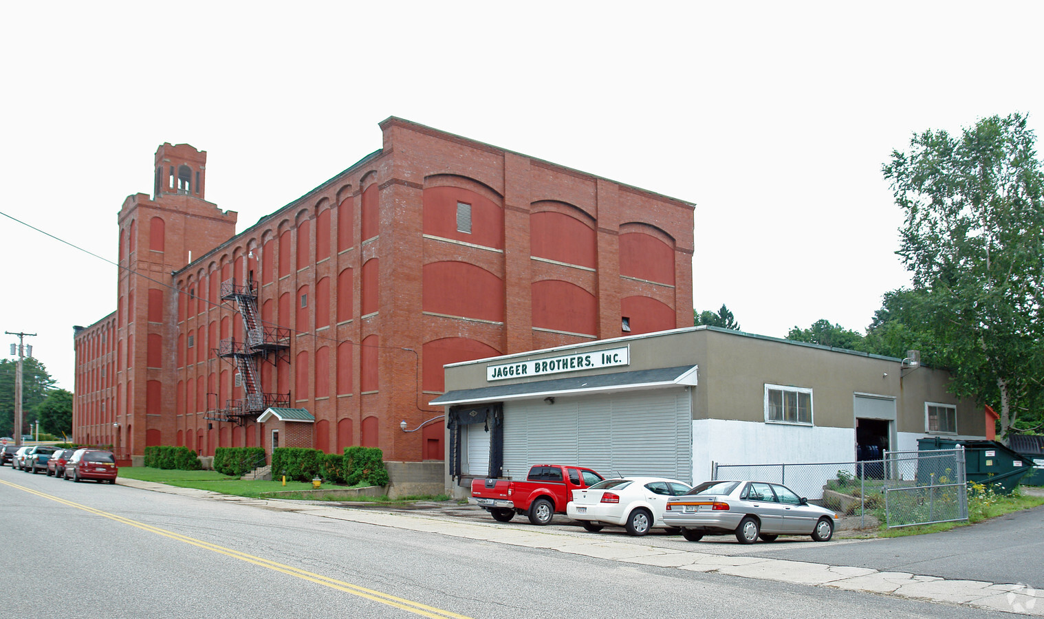
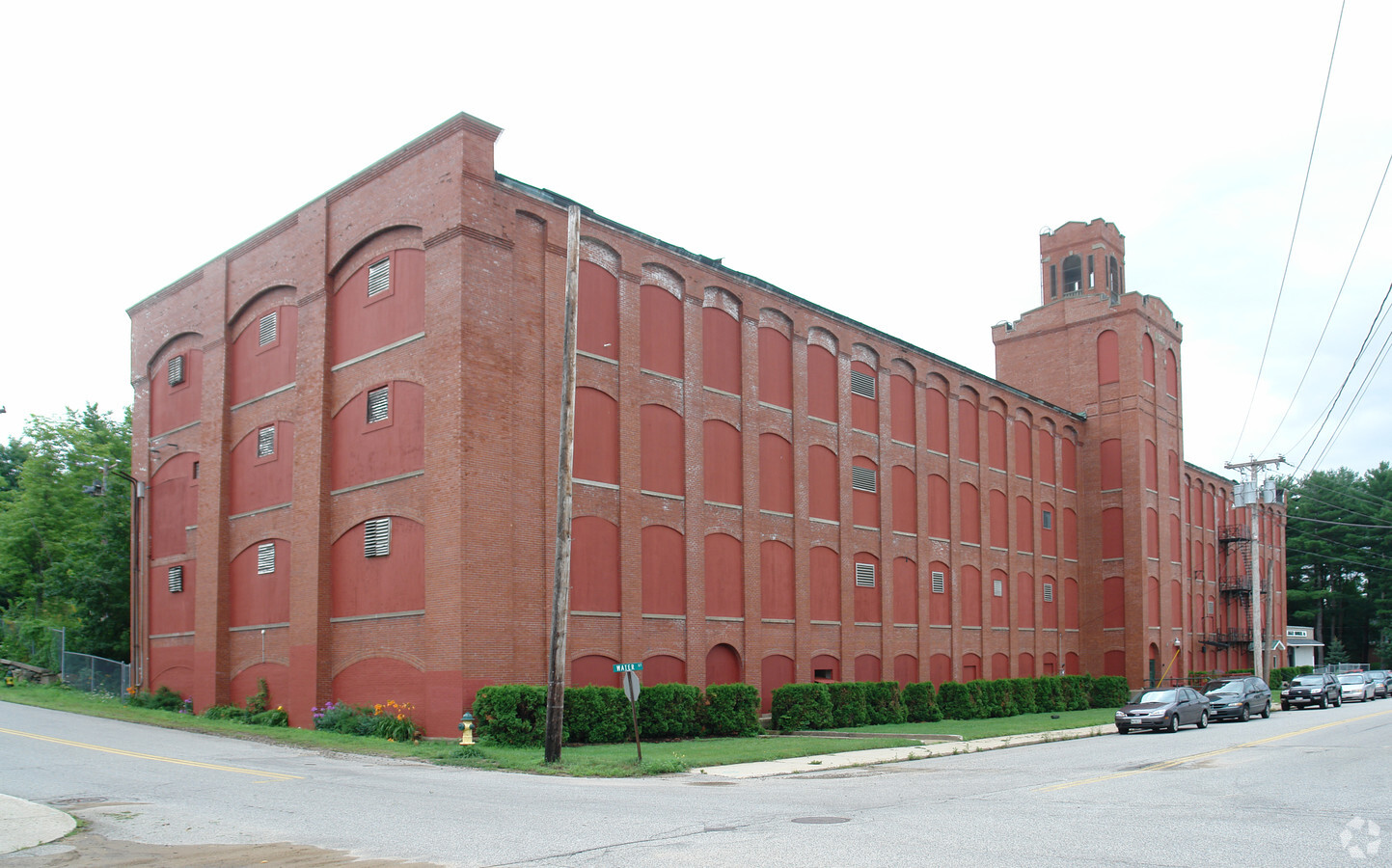
Property Record
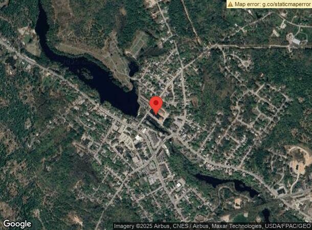
5 Water St, Springvale, ME 04083
NEARBY LISTINGS FOR SALE OR LEASE
-
-
View all Springvale listings for sale on LoopNet.com
Property Detail
5 Water St
Portland-South Portland, ME
York
SANF-000035-K000014
Maine
Industrialgeneral
2.87 AC
2024
York County
2024
Portland/South Portland
030102
DEMOGRAPHICS near 5 Water St
1 Mile
3 Mile
5 Mile
2024 Total Population
3,781
15,256
24,372
2029 Population
3,966
16,107
25,662
Pop Growth 2024-2029
+ 4.89%
+ 5.58%
+ 5.29%
Average Age
42
40
41
2024 Total Households
1,631
6,294
9,987
HH Growth 2024-2029
+ 4.90%
+ 5.50%
+ 5.22%
Median Household Inc
$64,916
$65,110
$68,975
Avg Household Size
2.30
2.30
2.40
2024 Avg HH Vehicles
2.00
2.00
2.00
Median Home Value
$244,552
$228,891
$245,859
Median Year Built
1967
1967
1974
Nearby Places
- Restaurants
- Banks
- Shops
- Fitness
- Groceries
PUBLIC TRANSPORTATION
AIRPORT
Portland International Jetport
DRIVE
WALK
Distance
Portland International Jetport
43 min
32.0 mi
Portsmouth International at Pease
DRIVE
WALK
Distance
Portsmouth International at Pease
57 min
35.1 mi
Freight Ports
Portland, ME
DRIVE
WALK
Distance
Portland, ME
44 min
34.6 mi
Nearby Properties
Address
Land Use
TOTAL SIZE
Lot Size
Zoning
Address
Land Use
TOTAL SIZE
Lot Size
Zoning
61,542 SF
11.50 AC
Address
Land Use
TOTAL SIZE
Lot Size
Zoning
94,234 SF
17.65 AC
OR
Address
Land Use
TOTAL SIZE
Lot Size
Zoning
Address
Land Use
TOTAL SIZE
Lot Size
Zoning
55,418 SF
1.54 AC
DB
Address
Land Use
TOTAL SIZE
Lot Size
Zoning
81.92 AC
SFR
Address
Land Use
TOTAL SIZE
Lot Size
Zoning
61,457 SF
0.86 AC
IR
Address
Land Use
TOTAL SIZE
Lot Size
Zoning
Address
Land Use
TOTAL SIZE
Lot Size
Zoning
16,708 SF
3 AC
DB
Address
Land Use
TOTAL SIZE
Lot Size
Zoning
8.60 AC
ORBP
Address
Land Use
TOTAL SIZE
Lot Size
Zoning
19,019 SF
19.41 AC
SFR
Address
Land Use
TOTAL SIZE
Lot Size
Zoning
71,566 SF
12 AC
UB
Address
Land Use
TOTAL SIZE
Lot Size
Zoning
1,080 SF
3.50 AC
GR
Address
Land Use
TOTAL SIZE
Lot Size
Zoning
78,259 SF
8.29 AC
SFR
Address
Land Use
TOTAL SIZE
Lot Size
Zoning
18.86 AC
SFR
Address
Land Use
TOTAL SIZE
Lot Size
Zoning
17,176 SF
2.84 AC
IB
Address
Land Use
TOTAL SIZE
Lot Size
Zoning
43,747 SF
1.12 AC
DB
Address
Land Use
TOTAL SIZE
Lot Size
Zoning
4.40 AC
GR
Address
Land Use
TOTAL SIZE
Lot Size
Zoning
278,108 SF
2.78 AC
IR
Address
Land Use
TOTAL SIZE
Lot Size
Zoning
17,090 SF
0.63 AC
DB
Address
Land Use
TOTAL SIZE
Lot Size
Zoning
1.30 AC
DB
Address
Land Use
TOTAL SIZE
Lot Size
Zoning
44,460 SF
4.13 AC
UB
Address
Land Use
TOTAL SIZE
Lot Size
Zoning
1,080 SF
1.21 AC
GR
Address
Land Use
TOTAL SIZE
Lot Size
Zoning
55,040 SF
0.91 AC
DB
Address
Land Use
TOTAL SIZE
Lot Size
Zoning
50,437 SF
12.20 AC
SFR
Address
Land Use
TOTAL SIZE
Lot Size
Zoning
1,122 SF
2.43 AC
GR
Address
Land Use
TOTAL SIZE
Lot Size
Zoning
20,505 SF
0.89 AC
ORBP
Address
Land Use
TOTAL SIZE
Lot Size
Zoning
50,904 SF
1.17 AC
DB
Address
Land Use
TOTAL SIZE
Lot Size
Zoning
15,504 SF
0.84 AC
DB
Address
Land Use
TOTAL SIZE
Lot Size
Zoning
2.94 AC
IB
Address
Land Use
TOTAL SIZE
Lot Size
Zoning
1.15 AC
GR
The World's #1 Commercial Real Estate Marketplace
Connect with us
© 2025 CoStar Group
The information above has been obtained from sources believed reliable. While we do not doubt its accuracy we have not verified it and make no guarantee, warranty or representation about it. It is your responsibility to independently confirm its accuracy and completeness. Any projections, opinions, assumptions, or estimates used are for example only and do not represent the current or future performance of the property. The value of this transaction to you depends on tax and other factors which should be evaluated by your tax, financial, and legal advisors. You and your advisors should conduct a careful, independent investigation of the property to determine to your satisfaction the suitability of the property for your needs.