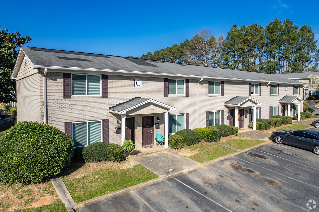
Property Record
50 Clay St, Fairburn, GA 30213
NEARBY LISTINGS FOR SALE OR LEASE
-
-
View all Fairburn listings for sale on LoopNet.com
Property Detail
50 Clay St
09F-1703-0066-121-8
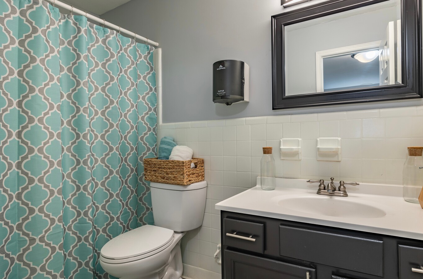
Melanie Apts
Apartment
Fulton
X
Georgia
13121C0454F
5.28 AC
2023
South Fulton
2023
Atlanta
010519
Atlanta-Sandy Springs-Roswell, GA
115,364 SF
DEMOGRAPHICS near 50 Clay St
1 Mile
3 Mile
5 Mile
2024 Total Population
6,092
43,239
93,016
2029 Population
6,239
44,585
96,252
Pop Growth 2024-2029
+ 2.41%
+ 3.11%
+ 3.48%
Average Age
37
36
37
2024 Total Households
2,223
16,101
34,110
HH Growth 2024-2029
+ 2.52%
+ 3.17%
+ 3.54%
Median Household Inc
$42,999
$58,960
$67,343
Avg Household Size
2.70
2.60
2.70
2024 Avg HH Vehicles
2.00
2.00
2.00
Median Home Value
$153,442
$193,219
$204,557
Median Year Built
1999
2002
2001
Nearby Places
- Restaurants
- Banks
- Shops
- Fitness
- Groceries
PUBLIC TRANSPORTATION
AIRPORT
Hartsfield - Jackson Atlanta International
DRIVE
WALK
Distance
Hartsfield - Jackson Atlanta International
23 min
13.8 mi
Freight Ports
Georgia Ports - Savannah
DRIVE
WALK
Distance
Georgia Ports - Savannah
285 min
251.0 mi
Nearby Properties
Address
Land Use
TOTAL SIZE
Lot Size
Zoning
Address
Land Use
TOTAL SIZE
Lot Size
Zoning
1,020,000 SF
59.94 AC
Address
Land Use
TOTAL SIZE
Lot Size
Zoning
1,160,240 SF
71.94 AC
AG1
Address
Land Use
TOTAL SIZE
Lot Size
Zoning
992,870 SF
59.71 AC
M1
Address
Land Use
TOTAL SIZE
Lot Size
Zoning
1,127,500 SF
89.15 AC
M1
Address
Land Use
TOTAL SIZE
Lot Size
Zoning
1,040,000 SF
74.64 AC
AG1
Address
Land Use
TOTAL SIZE
Lot Size
Zoning
160,662 SF
3.58 AC
M1
Address
Land Use
TOTAL SIZE
Lot Size
Zoning
373,175 SF
19.33 AC
M1
Address
Land Use
TOTAL SIZE
Lot Size
Zoning
415,580 SF
17.53 AC
C2
Address
Land Use
TOTAL SIZE
Lot Size
Zoning
275,626 SF
24.79 AC
A
Address
Land Use
TOTAL SIZE
Lot Size
Zoning
873,600 SF
65.24 AC
C2
Address
Land Use
TOTAL SIZE
Lot Size
Zoning
705,528 SF
62.98 AC
M1
Address
Land Use
TOTAL SIZE
Lot Size
Zoning
130,516 SF
6.50 AC
C1
Address
Land Use
TOTAL SIZE
Lot Size
Zoning
798,272 SF
18.32 AC
M1A
Address
Land Use
TOTAL SIZE
Lot Size
Zoning
744,000 SF
60.69 AC
GC
Address
Land Use
TOTAL SIZE
Lot Size
Zoning
567,000 SF
41.83 AC
AG1
Address
Land Use
TOTAL SIZE
Lot Size
Zoning
374,715 SF
50.47 AC
RM
Address
Land Use
TOTAL SIZE
Lot Size
Zoning
262,734 SF
26.48 AC
C1
Address
Land Use
TOTAL SIZE
Lot Size
Zoning
355,271 SF
13.40 AC
PD
Address
Land Use
TOTAL SIZE
Lot Size
Zoning
254,363 SF
26.11 AC
C1
Address
Land Use
TOTAL SIZE
Lot Size
Zoning
247,088 SF
20.90 AC
Address
Land Use
TOTAL SIZE
Lot Size
Zoning
491,992 SF
48.25 AC
M1
Address
Land Use
TOTAL SIZE
Lot Size
Zoning
556,800 SF
32.69 AC
M1
Address
Land Use
TOTAL SIZE
Lot Size
Zoning
606,450 SF
34.63 AC
M1
Address
Land Use
TOTAL SIZE
Lot Size
Zoning
510,180 SF
41.23 AC
M1
Address
Land Use
TOTAL SIZE
Lot Size
Zoning
146,522 SF
22.04 AC
AG1
Address
Land Use
TOTAL SIZE
Lot Size
Zoning
498,274 SF
24.34 AC
MIA
Address
Land Use
TOTAL SIZE
Lot Size
Zoning
244,487 SF
21.58 AC
C1
Address
Land Use
TOTAL SIZE
Lot Size
Zoning
394,181 SF
50.13 AC
M1A
Address
Land Use
TOTAL SIZE
Lot Size
Zoning
32.52 AC
C2
Address
Land Use
TOTAL SIZE
Lot Size
Zoning
420,000 SF
23.69 AC
MIA
The World's #1 Commercial Real Estate Marketplace
Connect with us
© 2025 CoStar Group
The information above has been obtained from sources believed reliable. While we do not doubt its accuracy we have not verified it and make no guarantee, warranty or representation about it. It is your responsibility to independently confirm its accuracy and completeness. Any projections, opinions, assumptions, or estimates used are for example only and do not represent the current or future performance of the property. The value of this transaction to you depends on tax and other factors which should be evaluated by your tax, financial, and legal advisors. You and your advisors should conduct a careful, independent investigation of the property to determine to your satisfaction the suitability of the property for your needs.