Property Record
50 N Merrimon Ave, Asheville, NC 28804


NEARBY LISTINGS FOR SALE OR LEASE
Property Detail
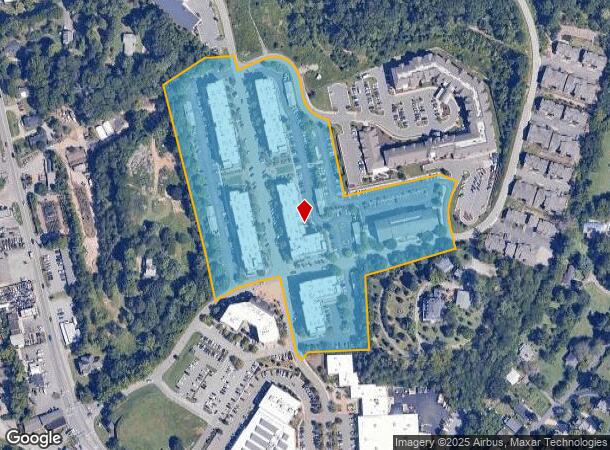
50 N Merrimon Ave
9730-77-6740-00000
Lofts/Reynolds Village Llc
Apartment
SUBDIV: BLOCK: LOT: SECTION: PLAT: 0PVT-SURV
X
Buncombe
3700973000J
North Carolina
2023
10.78 AC
2023
Buncombe County
001602
Asheville
153,383 SF
Asheville, NC
DEMOGRAPHICS near 50 N Merrimon Ave
1 Mile
3 Mile
5 Mile
2024 Total Population
5,141
32,743
86,731
2029 Population
5,357
33,911
90,078
Pop Growth 2024-2029
+ 4.20%
+ 3.57%
+ 3.86%
Average Age
45
43
42
2024 Total Households
2,251
13,686
38,136
HH Growth 2024-2029
+ 3.82%
+ 3.05%
+ 3.42%
Median Household Inc
$86,019
$71,760
$66,111
Avg Household Size
2.20
2.10
2.10
2024 Avg HH Vehicles
2.00
2.00
2.00
Median Home Value
$540,938
$455,426
$387,651
Median Year Built
1978
1974
1980
Nearby Places
- Restaurants
- Banks
- Shops
- Fitness
- Groceries
PUBLIC TRANSPORTATION
AIRPORT
Asheville Regional
DRIVE
WALK
Distance
Asheville Regional
26 min
18.7 mi
Freight Ports
North Charleston Terminal
DRIVE
WALK
Distance
North Charleston Terminal
297 min
262.5 mi
SALE & LEASE HISTORY
LISTING DATE
SALE/LEASE

Sep 25, 2016
For Lease
Mar 03, 2020
For Lease
Nearby Properties
Address
Land Use
TOTAL SIZE
Lot Size
Zoning
Address
Land Use
TOTAL SIZE
Lot Size
Zoning
358,828 SF
137.57 AC
RESORT
Address
Land Use
TOTAL SIZE
Lot Size
Zoning
291,240 SF
86.10 AC
INST EXP
Address
Land Use
TOTAL SIZE
Lot Size
Zoning
103,525 SF
18.23 AC
CWO-CS
Address
Land Use
TOTAL SIZE
Lot Size
Zoning
106,436 SF
22.02 AC
PS
Address
Land Use
TOTAL SIZE
Lot Size
Zoning
114,700 SF
8.91 AC
RM16
Address
Land Use
TOTAL SIZE
Lot Size
Zoning
75,122 SF
16.91 AC
CWO-CS
Address
Land Use
TOTAL SIZE
Lot Size
Zoning
68,767 SF
11.59 AC
UP
Address
Land Use
TOTAL SIZE
Lot Size
Zoning
141,911 SF
51.27 AC
RM16
Address
Land Use
TOTAL SIZE
Lot Size
Zoning
45,999 SF
131.92 AC
CWO-HI
Address
Land Use
TOTAL SIZE
Lot Size
Zoning
56,042 SF
16.60 AC
INST
Address
Land Use
TOTAL SIZE
Lot Size
Zoning
84,458 SF
16.51 AC
RM16
Address
Land Use
TOTAL SIZE
Lot Size
Zoning
61,043 SF
6.89 AC
CWO-CS
Address
Land Use
TOTAL SIZE
Lot Size
Zoning
316,821 SF
23.88 AC
CI
Address
Land Use
TOTAL SIZE
Lot Size
Zoning
168,519 SF
53.11 AC
INST
Address
Land Use
TOTAL SIZE
Lot Size
Zoning
108,948 SF
24.68 AC
R-3
Address
Land Use
TOTAL SIZE
Lot Size
Zoning
4,455 SF
9.53 AC
RM16
Address
Land Use
TOTAL SIZE
Lot Size
Zoning
18,391 SF
2.11 AC
RM8
Address
Land Use
TOTAL SIZE
Lot Size
Zoning
32,560 SF
4.48 AC
INST
Address
Land Use
TOTAL SIZE
Lot Size
Zoning
49,898 SF
6.85 AC
CWO-R10
Address
Land Use
TOTAL SIZE
Lot Size
Zoning
339,426 SF
12.49 AC
CWO-CS
Address
Land Use
TOTAL SIZE
Lot Size
Zoning
45,382 SF
3.94 AC
HB
Address
Land Use
TOTAL SIZE
Lot Size
Zoning
166,387 SF
23.84 AC
I-1
Address
Land Use
TOTAL SIZE
Lot Size
Zoning
15,296 SF
3.65 AC
RM16
Address
Land Use
TOTAL SIZE
Lot Size
Zoning
22,408 SF
1.33 AC
CBII
Address
Land Use
TOTAL SIZE
Lot Size
Zoning
20,264 SF
3.65 AC
OB
Address
Land Use
TOTAL SIZE
Lot Size
Zoning
58,360 SF
6.21 AC
UP
Address
Land Use
TOTAL SIZE
Lot Size
Zoning
97,200 SF
13.50 AC
CWO-LI
Address
Land Use
TOTAL SIZE
Lot Size
Zoning
16,440 SF
1.13 AC
INST
Address
Land Use
TOTAL SIZE
Lot Size
Zoning
46,622 SF
1.85 AC
CWO-CS
The World's #1 Commercial Real Estate Marketplace
Connect with us
© 2025 CoStar Group
The information above has been obtained from sources believed reliable. While we do not doubt its accuracy we have not verified it and make no guarantee, warranty or representation about it. It is your responsibility to independently confirm its accuracy and completeness. Any projections, opinions, assumptions, or estimates used are for example only and do not represent the current or future performance of the property. The value of this transaction to you depends on tax and other factors which should be evaluated by your tax, financial, and legal advisors. You and your advisors should conduct a careful, independent investigation of the property to determine to your satisfaction the suitability of the property for your needs.