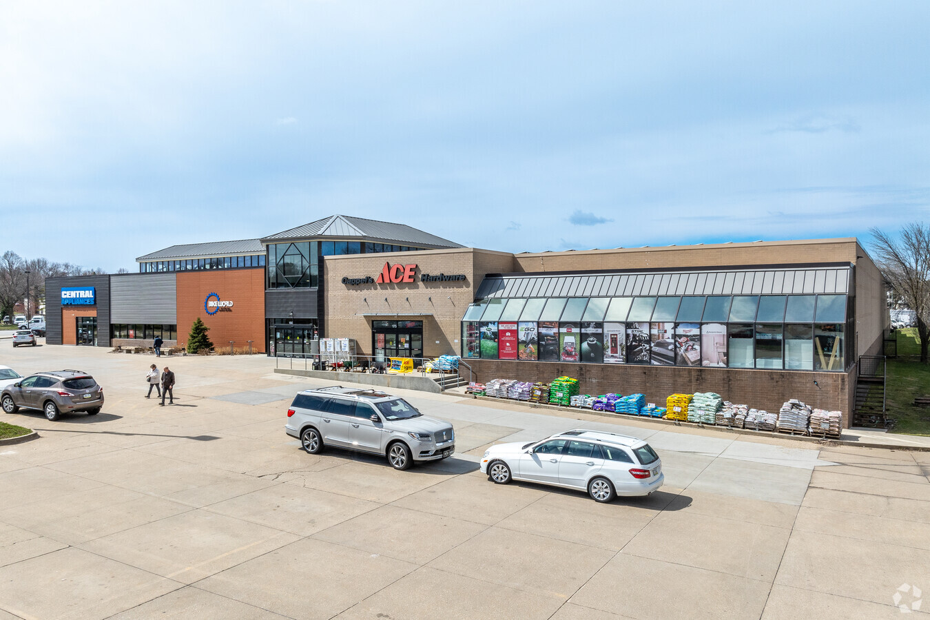
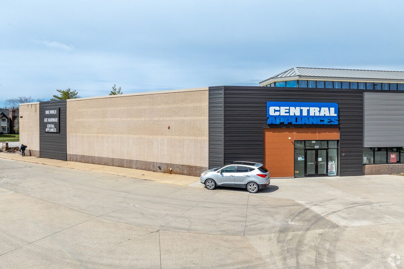
Property Record
5003 Ep True Pky, West Des Moines, IA 50265
Current Lease Availabilities
NEARBY LISTINGS FOR SALE OR LEASE
Property Detail
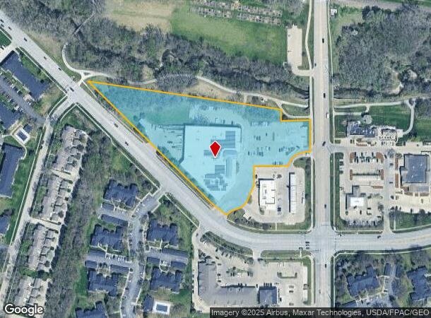
5003 Ep True Pky
Des Moines-West Des Moines, IA
Southwoods Plat 2
32004116410002
LOT 2 SOUTHWOODS PLAT 2
Storebuilding
Polk
AE
Iowa
19153C0310F
2
2024
5.33 AC
2024
Western Suburbs
011025
Des Moines
55,386 SF
DEMOGRAPHICS near 5003 Ep True Pky
1 Mile
3 Mile
5 Mile
2024 Total Population
13,608
62,836
137,438
2029 Population
14,163
67,820
150,457
Pop Growth 2024-2029
+ 4.08%
+ 7.93%
+ 9.47%
Average Age
38
39
39
2024 Total Households
5,911
27,833
57,810
HH Growth 2024-2029
+ 4.75%
+ 8.66%
+ 9.75%
Median Household Inc
$80,967
$77,786
$82,703
Avg Household Size
2.30
2.20
2.30
2024 Avg HH Vehicles
2.00
2.00
2.00
Median Home Value
$278,185
$271,069
$271,742
Median Year Built
1993
1991
1991
Nearby Places
- Restaurants
- Banks
- Shops
- Fitness
- Groceries
PUBLIC TRANSPORTATION
AIRPORT
Des Moines International
DRIVE
WALK
Distance
Des Moines International
16 min
8.0 mi
Freight Ports
Port Milwaukee
DRIVE
WALK
Distance
Port Milwaukee
428 min
383.8 mi
Nearby Properties
Address
Land Use
TOTAL SIZE
Lot Size
Zoning
Address
Land Use
TOTAL SIZE
Lot Size
Zoning
30,000 SF
153.06 AC
Address
Land Use
TOTAL SIZE
Lot Size
Zoning
31,075 SF
157.44 AC
Address
Land Use
TOTAL SIZE
Lot Size
Zoning
756,649 SF
67.99 AC
Address
Land Use
TOTAL SIZE
Lot Size
Zoning
18,093 SF
38.92 AC
Address
Land Use
TOTAL SIZE
Lot Size
Zoning
472,476 SF
12.48 AC
PUD OFFICE
Address
Land Use
TOTAL SIZE
Lot Size
Zoning
52,016 SF
46.87 AC
Address
Land Use
TOTAL SIZE
Lot Size
Zoning
415,636 SF
28.12 AC
Address
Land Use
TOTAL SIZE
Lot Size
Zoning
422,683 SF
44.10 AC
PCP
Address
Land Use
TOTAL SIZE
Lot Size
Zoning
18,951 SF
29.34 AC
Address
Land Use
TOTAL SIZE
Lot Size
Zoning
6,178 SF
39.89 AC
Address
Land Use
TOTAL SIZE
Lot Size
Zoning
241,324 SF
21.67 AC
PUD B&C
Address
Land Use
TOTAL SIZE
Lot Size
Zoning
275,227 SF
18.31 AC
PCP
Address
Land Use
TOTAL SIZE
Lot Size
Zoning
38,400 SF
13.12 AC
Address
Land Use
TOTAL SIZE
Lot Size
Zoning
322,220 SF
7.61 AC
Address
Land Use
TOTAL SIZE
Lot Size
Zoning
231,695 SF
4.29 AC
Address
Land Use
TOTAL SIZE
Lot Size
Zoning
39,229 SF
22.75 AC
Address
Land Use
TOTAL SIZE
Lot Size
Zoning
46,250 SF
27.02 AC
Address
Land Use
TOTAL SIZE
Lot Size
Zoning
387,456 SF
15.72 AC
PUD HD
Address
Land Use
TOTAL SIZE
Lot Size
Zoning
22,093 SF
12.26 AC
Address
Land Use
TOTAL SIZE
Lot Size
Zoning
182,866 SF
10.21 AC
Address
Land Use
TOTAL SIZE
Lot Size
Zoning
5,635 SF
15.06 AC
Address
Land Use
TOTAL SIZE
Lot Size
Zoning
172,627 SF
8.30 AC
Address
Land Use
TOTAL SIZE
Lot Size
Zoning
189,691 SF
27.03 AC
PCP
Address
Land Use
TOTAL SIZE
Lot Size
Zoning
243,217 SF
16.31 AC
PUD HD
Address
Land Use
TOTAL SIZE
Lot Size
Zoning
2,168 SF
15.68 AC
Address
Land Use
TOTAL SIZE
Lot Size
Zoning
4,590 SF
10.50 AC
Address
Land Use
TOTAL SIZE
Lot Size
Zoning
240,722 SF
71.97 AC
RS
Address
Land Use
TOTAL SIZE
Lot Size
Zoning
341,024 SF
12.15 AC
RH
Address
Land Use
TOTAL SIZE
Lot Size
Zoning
444,073 SF
28.05 AC
RH
Address
Land Use
TOTAL SIZE
Lot Size
Zoning
195,931 SF
13.66 AC
The World's #1 Commercial Real Estate Marketplace
Connect with us
© 2025 CoStar Group
The information above has been obtained from sources believed reliable. While we do not doubt its accuracy we have not verified it and make no guarantee, warranty or representation about it. It is your responsibility to independently confirm its accuracy and completeness. Any projections, opinions, assumptions, or estimates used are for example only and do not represent the current or future performance of the property. The value of this transaction to you depends on tax and other factors which should be evaluated by your tax, financial, and legal advisors. You and your advisors should conduct a careful, independent investigation of the property to determine to your satisfaction the suitability of the property for your needs.