Property Record
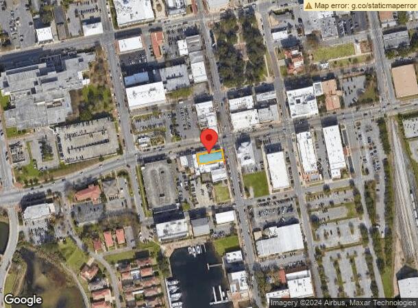
501 S Palafox St, Pensacola, FL 32502
NEARBY LISTINGS FOR SALE OR LEASE
Property Detail
501 S Palafox St
Pensacola-Ferry Pass-Brent, FL
Bulkhead Line Waterfront Tract - Part Of
00-0S-00-9100-110-025
LT 11 & 12 BLK 25 WATERFRONT OR 6790 P 702 CA 73
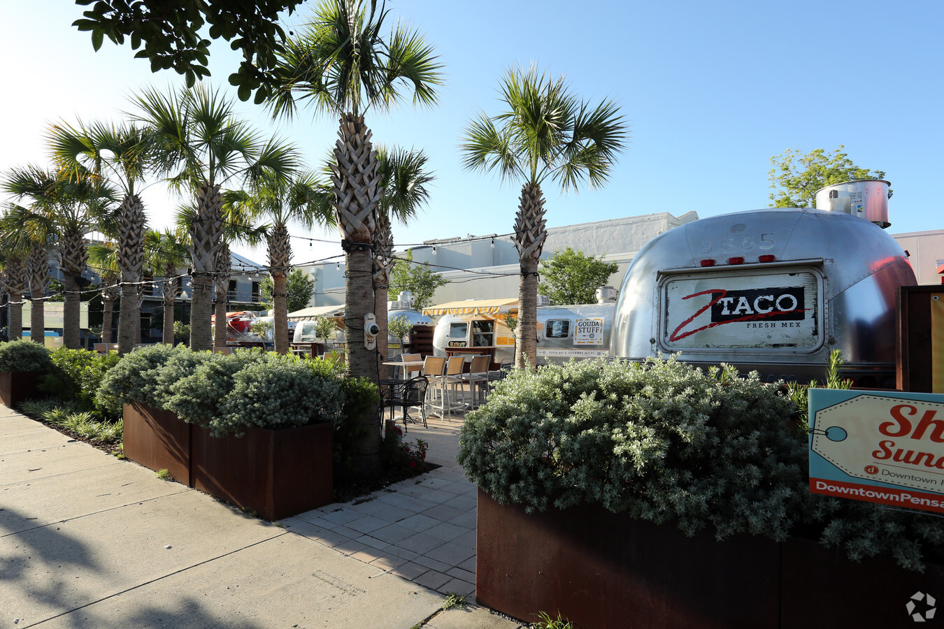
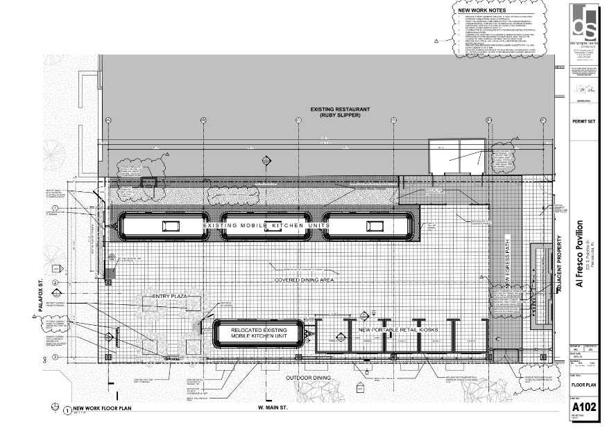
Restaurantbuilding
Escambia
AE
Florida
12033C0390G
110
2023
0.14 AC
2023
Downtown Pensacola
000801
Pensacola
DEMOGRAPHICS near 501 S Palafox St
1 Mile
3 Mile
5 Mile
2024 Total Population
4,285
37,583
98,282
2029 Population
4,489
39,009
101,878
Pop Growth 2024-2029
+ 4.76%
+ 3.79%
+ 3.66%
Average Age
44
41
39
2024 Total Households
2,085
16,226
39,724
HH Growth 2024-2029
+ 4.94%
+ 3.80%
+ 3.78%
Median Household Inc
$45,937
$41,618
$44,886
Avg Household Size
1.80
2.10
2.20
2024 Avg HH Vehicles
1.00
1.00
2.00
Median Home Value
$353,963
$227,647
$203,388
Median Year Built
1964
1958
1967
Nearby Places
- Restaurants
- Banks
- Shops
- Fitness
- Groceries
PUBLIC TRANSPORTATION
AIRPORT
Pensacola International
Drive
Walk
Distance
Pensacola International
13 min
6.2 mi
Freight Ports
Port of Mobile
Drive
Walk
Distance
Port of Mobile
69 min
60.1 mi
SALE & LEASE HISTORY
LISTING DATE
SALE/LEASE

Jul 18, 2018
For Lease
Jul 12, 2018
For Lease
Apr 12, 2024
For Lease
Apr 10, 2017
For Sale
Nearby Properties
Address
Land Use
TOTAL SIZE
Lot Size
Zoning
Address
Land Use
TOTAL SIZE
Lot Size
Zoning
544835
3.29 AC
C-2,C-2A
Address
Land Use
TOTAL SIZE
Lot Size
Zoning
453112
19.90 AC
R-2
Address
Land Use
TOTAL SIZE
Lot Size
Zoning
296361
13.03 AC
GRD
Address
Land Use
TOTAL SIZE
Lot Size
Zoning
368724
3.17 AC
C-2A
Address
Land Use
TOTAL SIZE
Lot Size
Zoning
56970
5.94 AC
WRD
Address
Land Use
TOTAL SIZE
Lot Size
Zoning
289397
12.38 AC
PUB
Address
Land Use
TOTAL SIZE
Lot Size
Zoning
353428
30.10 AC
M-1
Address
Land Use
TOTAL SIZE
Lot Size
Zoning
158425
9.77 AC
R-2A
Address
Land Use
TOTAL SIZE
Lot Size
Zoning
327045
7.47 AC
C-2A
Address
Land Use
TOTAL SIZE
Lot Size
Zoning
178451
3.88 AC
GRD
Address
Land Use
TOTAL SIZE
Lot Size
Zoning
114000
3.23 AC
C-2,C-2A
Address
Land Use
TOTAL SIZE
Lot Size
Zoning
96686
1.06 AC
C-2A
Address
Land Use
TOTAL SIZE
Lot Size
Zoning
282738
14.64 AC
PUB
Address
Land Use
TOTAL SIZE
Lot Size
Zoning
258438
48.49 AC
PUB
Address
Land Use
TOTAL SIZE
Lot Size
Zoning
99623
1.87 AC
C-2A
Address
Land Use
TOTAL SIZE
Lot Size
Zoning
145264
9.84 AC
SSD
Address
Land Use
TOTAL SIZE
Lot Size
Zoning
115500
3.48 AC
C-2
Address
Land Use
TOTAL SIZE
Lot Size
Zoning
75877
1.55 AC
WRD
Address
Land Use
TOTAL SIZE
Lot Size
Zoning
166204
0.97 AC
C-2A
Address
Land Use
TOTAL SIZE
Lot Size
Zoning
119456
0.66 AC
R-2
Address
Land Use
TOTAL SIZE
Lot Size
Zoning
55337
0.95 AC
C-2A,HC-2
Address
Land Use
TOTAL SIZE
Lot Size
Zoning
81549
0.46 AC
WRD
Address
Land Use
TOTAL SIZE
Lot Size
Zoning
133543
1.83 AC
C-1,R-2
Address
Land Use
TOTAL SIZE
Lot Size
Zoning
130516
4.55 AC
R-2
Address
Land Use
TOTAL SIZE
Lot Size
Zoning
254937
39.66 AC
R-1AA
Address
Land Use
TOTAL SIZE
Lot Size
Zoning
146790
8.83 AC
C-1,C-3
Address
Land Use
TOTAL SIZE
Lot Size
Zoning
56354
3.25 AC
HC-1
Address
Land Use
TOTAL SIZE
Lot Size
Zoning
138840
4.52 AC
HC/LI,HDMU
Address
Land Use
TOTAL SIZE
Lot Size
Zoning
64383
0.70 AC
C-2A
Address
Land Use
TOTAL SIZE
Lot Size
Zoning
27586
33.84 AC
R-1AAA
Start a new search to find other properties for sale or lease
Connect with us
© 2024 CoStar Group
The information above has been obtained from sources believed reliable. While we do not doubt its accuracy we have not verified it and make no guarantee, warranty or representation about it. It is your responsibility to independently confirm its accuracy and completeness. Any projections, opinions, assumptions, or estimates used are for example only and do not represent the current or future performance of the property. The value of this transaction to you depends on tax and other factors which should be evaluated by your tax, financial, and legal advisors. You and your advisors should conduct a careful, independent investigation of the property to determine to your satisfaction the suitability of the property for your needs.