Property Record
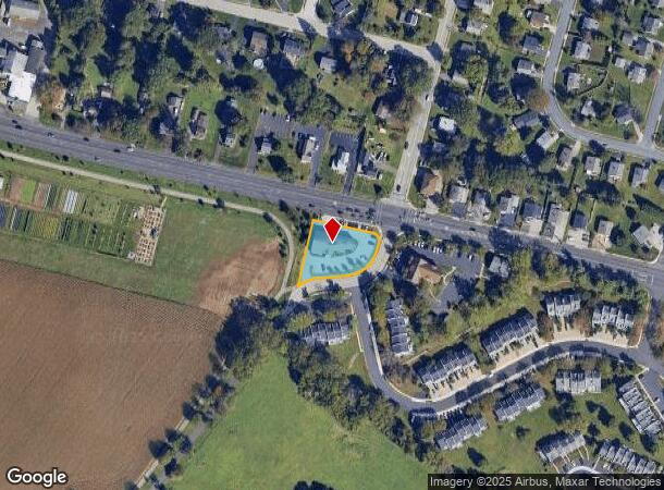
502 W Germantown Pike, Norristown, PA 19403


NEARBY LISTINGS FOR SALE OR LEASE
Property Detail
502 W Germantown Pike
Philadelphia-Camden-Wilmington, PA-NJ-DE-MD
Barley Sheaf Ph 01 02
33-00-02987-004
L 1A
Officebuilding
Montgomery
X
Pennsylvania
42091C0264G
1
2024
0.68 AC
2024
Plymouth Mtg/Blue Bell
980000
Philadelphia
9,844 SF
DEMOGRAPHICS near 502 W Germantown Pike
1 Mile
3 Mile
5 Mile
2024 Total Population
7,105
69,701
192,173
2029 Population
7,362
71,261
195,492
Pop Growth 2024-2029
+ 3.62%
+ 2.24%
+ 1.73%
Average Age
42
41
41
2024 Total Households
2,979
28,153
76,457
HH Growth 2024-2029
+ 3.73%
+ 2.24%
+ 1.71%
Median Household Inc
$131,193
$105,123
$96,801
Avg Household Size
2.30
2.40
2.40
2024 Avg HH Vehicles
2.00
2.00
2.00
Median Home Value
$455,463
$400,739
$387,389
Median Year Built
1978
1968
1965
Nearby Places
- Restaurants
- Banks
- Shops
- Fitness
- Groceries
PUBLIC TRANSPORTATION
AIRPORT
Philadelphia International
DRIVE
WALK
Distance
Philadelphia International
35 min
29.6 mi
SALE & LEASE HISTORY
LISTING DATE
SALE/LEASE

Sep 24, 2016
For Lease
May 11, 2017
For Lease
Feb 21, 2020
For Sale
Nearby Properties
Address
Land Use
TOTAL SIZE
Lot Size
Zoning
Address
Land Use
TOTAL SIZE
Lot Size
Zoning
1,807,465 SF
120.12 AC
R2
Address
Land Use
TOTAL SIZE
Lot Size
Zoning
62,622 SF
416.05 AC
IN
Address
Land Use
TOTAL SIZE
Lot Size
Zoning
365,348 SF
80.44 AC
IN
Address
Land Use
TOTAL SIZE
Lot Size
Zoning
476,392 SF
54.50 AC
I
Address
Land Use
TOTAL SIZE
Lot Size
Zoning
422,975 SF
92.05 AC
RA
Address
Land Use
TOTAL SIZE
Lot Size
Zoning
629,336 SF
31.74 AC
IN
Address
Land Use
TOTAL SIZE
Lot Size
Zoning
505,128 SF
12.11 AC
RE
Address
Land Use
TOTAL SIZE
Lot Size
Zoning
217,564 SF
12.64 AC
IN
Address
Land Use
TOTAL SIZE
Lot Size
Zoning
231,665 SF
26.34 AC
OSR
Address
Land Use
TOTAL SIZE
Lot Size
Zoning
4,810 SF
149 AC
RA
Address
Land Use
TOTAL SIZE
Lot Size
Zoning
381,496 SF
5.37 AC
EC
Address
Land Use
TOTAL SIZE
Lot Size
Zoning
320,804 SF
30.85 AC
CR
Address
Land Use
TOTAL SIZE
Lot Size
Zoning
311,142 SF
39.51 AC
R1
Address
Land Use
TOTAL SIZE
Lot Size
Zoning
53,368 SF
38.59 AC
R3
Address
Land Use
TOTAL SIZE
Lot Size
Zoning
213,070 SF
29.67 AC
RE
Address
Land Use
TOTAL SIZE
Lot Size
Zoning
320,737 SF
0.98 AC
TC
Address
Land Use
TOTAL SIZE
Lot Size
Zoning
416,392 SF
26.56 AC
HR
Address
Land Use
TOTAL SIZE
Lot Size
Zoning
205,344 SF
26.67 AC
RE
Address
Land Use
TOTAL SIZE
Lot Size
Zoning
450,876 SF
4.70 AC
HC
Address
Land Use
TOTAL SIZE
Lot Size
Zoning
311,784 SF
21.82 AC
A
Address
Land Use
TOTAL SIZE
Lot Size
Zoning
136,637 SF
18 AC
OSR
Address
Land Use
TOTAL SIZE
Lot Size
Zoning
211,739 SF
14.14 AC
CR
Address
Land Use
TOTAL SIZE
Lot Size
Zoning
275,093 SF
10.79 AC
GA
Address
Land Use
TOTAL SIZE
Lot Size
Zoning
133,012 SF
32.23 AC
IN
Address
Land Use
TOTAL SIZE
Lot Size
Zoning
225,196 SF
14.87 AC
AR
Address
Land Use
TOTAL SIZE
Lot Size
Zoning
276,284 SF
3.87 AC
INO
Address
Land Use
TOTAL SIZE
Lot Size
Zoning
172,689 SF
18.74 AC
AR
Address
Land Use
TOTAL SIZE
Lot Size
Zoning
337,873 SF
10.81 AC
HR
Address
Land Use
TOTAL SIZE
Lot Size
Zoning
78,658 SF
27.74 AC
OPR
Address
Land Use
TOTAL SIZE
Lot Size
Zoning
204,420 SF
18.60 AC
AR
The World's #1 Commercial Real Estate Marketplace
Connect with us
© 2025 CoStar Group
The information above has been obtained from sources believed reliable. While we do not doubt its accuracy we have not verified it and make no guarantee, warranty or representation about it. It is your responsibility to independently confirm its accuracy and completeness. Any projections, opinions, assumptions, or estimates used are for example only and do not represent the current or future performance of the property. The value of this transaction to you depends on tax and other factors which should be evaluated by your tax, financial, and legal advisors. You and your advisors should conduct a careful, independent investigation of the property to determine to your satisfaction the suitability of the property for your needs.