Property Record
503 W Main St, Hahira, GA 31632
NEARBY LISTINGS FOR SALE OR LEASE
-
-
View all Hahira listings for sale on LoopNet.com
Property Detail
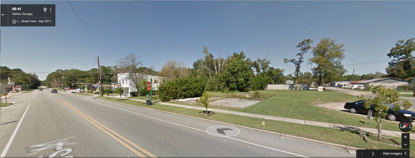
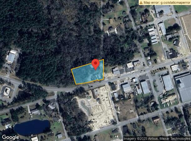
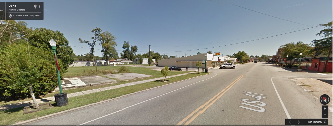
503 W Main St
0046C-011
Hahira Comm / I-75
Hospitalpublic
LL 89,96 LD 12
X
Lowndes
13027C0175D
Georgia
0
1.25 AC
2024
Valdosta/Lake Park
010203
Other Market Areas
3,445 SF
Valdosta, GA
DEMOGRAPHICS near 503 W Main St
1 Mile
3 Mile
5 Mile
2024 Total Population
3,522
6,404
10,563
2029 Population
3,680
6,680
10,960
Pop Growth 2024-2029
+ 4.49%
+ 4.31%
+ 3.76%
Average Age
35
36
37
2024 Total Households
1,326
2,365
3,744
HH Growth 2024-2029
+ 4.60%
+ 4.44%
+ 3.93%
Median Household Inc
$46,389
$57,300
$65,082
Avg Household Size
2.70
2.70
2.70
2024 Avg HH Vehicles
2.00
2.00
2.00
Median Home Value
$154,209
$182,752
$236,057
Median Year Built
2001
2002
2002
Nearby Places
- Restaurants
- Banks
- Shops
- Fitness
- Groceries
PUBLIC TRANSPORTATION
AIRPORT
Valdosta Regional
DRIVE
WALK
Distance
Valdosta Regional
25 min
18.6 mi
Freight Ports
Georgia Ports - Brunswick
DRIVE
WALK
Distance
Georgia Ports - Brunswick
166 min
119.5 mi
SALE & LEASE HISTORY
LISTING DATE
SALE/LEASE

Sep 24, 2016
For Sale
Nearby Properties
Address
Land Use
TOTAL SIZE
Lot Size
Zoning
Address
Land Use
TOTAL SIZE
Lot Size
Zoning
40,932 SF
6.44 AC
C-H
Address
Land Use
TOTAL SIZE
Lot Size
Zoning
119,360 SF
3.42 AC
C-B-D
Address
Land Use
TOTAL SIZE
Lot Size
Zoning
38,572 SF
16.77 AC
R-P
Address
Land Use
TOTAL SIZE
Lot Size
Zoning
61,023 SF
25.61 AC
R-10
Address
Land Use
TOTAL SIZE
Lot Size
Zoning
22,369 SF
3 AC
C-H
Address
Land Use
TOTAL SIZE
Lot Size
Zoning
4,704 SF
3.42 AC
C-H
Address
Land Use
TOTAL SIZE
Lot Size
Zoning
3,519 SF
7.29 AC
R-6-M
Address
Land Use
TOTAL SIZE
Lot Size
Zoning
39.17 AC
C-H
Address
Land Use
TOTAL SIZE
Lot Size
Zoning
20,977 SF
6.32 AC
R-6-M
Address
Land Use
TOTAL SIZE
Lot Size
Zoning
62,250 SF
7 AC
M-1
Address
Land Use
TOTAL SIZE
Lot Size
Zoning
4,958 SF
2 AC
C-H
Address
Land Use
TOTAL SIZE
Lot Size
Zoning
2,735 SF
1.60 AC
R-15
Address
Land Use
TOTAL SIZE
Lot Size
Zoning
36,000 SF
4.87 AC
R-21
Address
Land Use
TOTAL SIZE
Lot Size
Zoning
3,456 SF
2 AC
R-P
Address
Land Use
TOTAL SIZE
Lot Size
Zoning
9,101 SF
4.19 AC
M-1
Address
Land Use
TOTAL SIZE
Lot Size
Zoning
6,875 SF
12.81 AC
C-G
Address
Land Use
TOTAL SIZE
Lot Size
Zoning
480 SF
67.59 AC
R-10,C-H
Address
Land Use
TOTAL SIZE
Lot Size
Zoning
6,629 SF
0.15 AC
C-B-D
Address
Land Use
TOTAL SIZE
Lot Size
Zoning
273.25 AC
E-A
Address
Land Use
TOTAL SIZE
Lot Size
Zoning
6,000 SF
5.40 AC
R-15
Address
Land Use
TOTAL SIZE
Lot Size
Zoning
15,500 SF
5.15 AC
M-1
Address
Land Use
TOTAL SIZE
Lot Size
Zoning
10,308 SF
0.47 AC
R-P
Address
Land Use
TOTAL SIZE
Lot Size
Zoning
10,189 SF
3.01 AC
M-1
Address
Land Use
TOTAL SIZE
Lot Size
Zoning
4,998 SF
6.51 AC
C-H
Address
Land Use
TOTAL SIZE
Lot Size
Zoning
2,567 SF
1 AC
C-H
Address
Land Use
TOTAL SIZE
Lot Size
Zoning
12,664 SF
1.22 AC
M-1
Address
Land Use
TOTAL SIZE
Lot Size
Zoning
6,000 SF
3.18 AC
C-H
Address
Land Use
TOTAL SIZE
Lot Size
Zoning
3,304 SF
48.78 AC
E-R C-N R-
Address
Land Use
TOTAL SIZE
Lot Size
Zoning
9,840 SF
3.01 AC
M-1
Address
Land Use
TOTAL SIZE
Lot Size
Zoning
3,876 SF
5.59 AC
M-1
The World's #1 Commercial Real Estate Marketplace
Connect with us
© 2025 CoStar Group
The information above has been obtained from sources believed reliable. While we do not doubt its accuracy we have not verified it and make no guarantee, warranty or representation about it. It is your responsibility to independently confirm its accuracy and completeness. Any projections, opinions, assumptions, or estimates used are for example only and do not represent the current or future performance of the property. The value of this transaction to you depends on tax and other factors which should be evaluated by your tax, financial, and legal advisors. You and your advisors should conduct a careful, independent investigation of the property to determine to your satisfaction the suitability of the property for your needs.