Property Record
505 S Deerfield Rd, Pontiac, IL 61764
NEARBY LISTINGS FOR SALE OR LEASE
-
-
View all Pontiac listings for sale on LoopNet.com
Property Detail
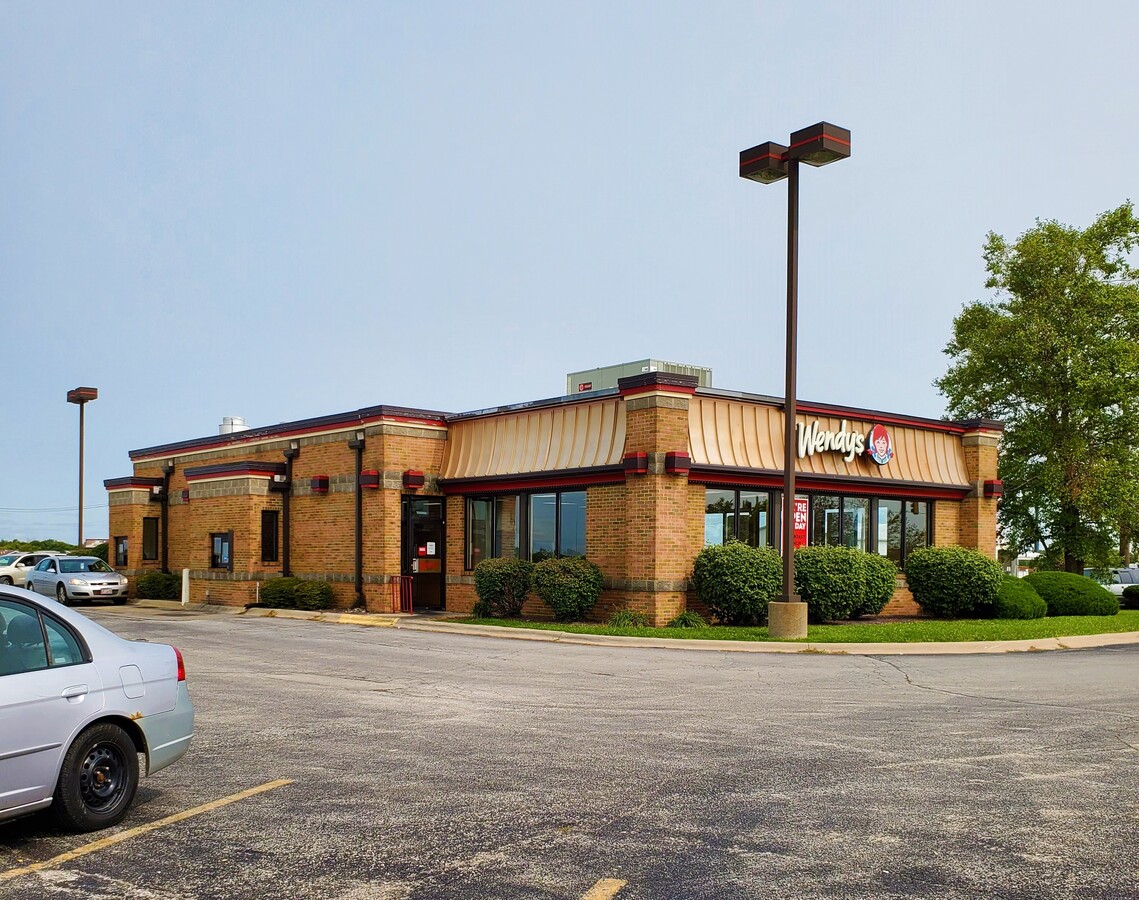
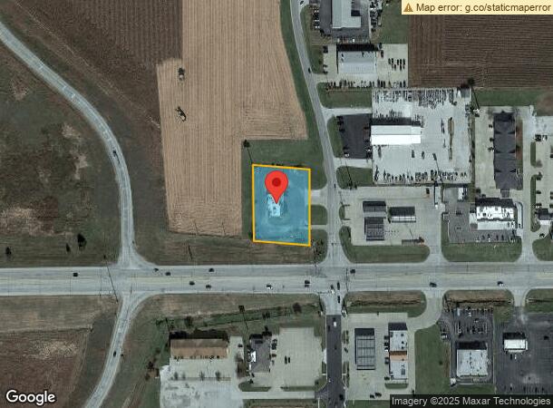
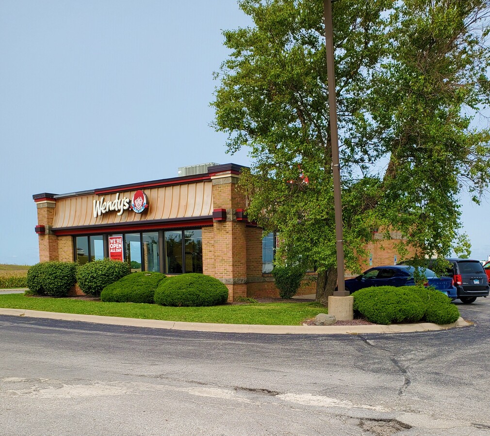
505 S Deerfield Rd
Pontiac, IL
Bauknecht Comm Sub
15-15-20-400-023
15-20-400-023 1.10 ACRES LOT 185 X 250 LOT 1 BAUKNECHT COMMERCIAL SUB.
Commercialnec
Livingston
X
Illinois
17113C0075E
1
2023
1.10 AC
2023
Illinois North Area
960500
Other Market Areas
3,525 SF
DEMOGRAPHICS near 505 S Deerfield Rd
1 Mile
3 Mile
5 Mile
2024 Total Population
815
11,703
12,834
2029 Population
805
11,588
12,695
Pop Growth 2024-2029
(1.23%)
(0.98%)
(1.08%)
Average Age
50
42
42
2024 Total Households
396
4,556
4,990
HH Growth 2024-2029
(1.52%)
(1.12%)
(1.22%)
Median Household Inc
$48,333
$52,629
$55,143
Avg Household Size
2.00
2.20
2.20
2024 Avg HH Vehicles
2.00
2.00
2.00
Median Home Value
$123,832
$98,670
$107,114
Median Year Built
1973
1962
1963
Nearby Places
- Restaurants
- Banks
- Shops
- Fitness
- Groceries
PUBLIC TRANSPORTATION
COMMUTER RAIL
Pontiac Amtrak Station (Lincoln Service - Amtrak, Lincoln Service Missouri River Runner - Amtrak, Texas Eagle - Amtrak)
DRIVE
WALK
Distance
Pontiac Amtrak Station (Lincoln Service - Amtrak, Lincoln Service Missouri River Runner - Amtrak, Texas Eagle - Amtrak)
3 min
1.8 mi
Freight Ports
Port Milwaukee
DRIVE
WALK
Distance
Port Milwaukee
202 min
172.7 mi
SALE & LEASE HISTORY
LISTING DATE
SALE/LEASE

Sep 17, 2020
For Sale
Nearby Properties
Address
Land Use
TOTAL SIZE
Lot Size
Zoning
Address
Land Use
TOTAL SIZE
Lot Size
Zoning
186,440 SF
29.50 AC
Address
Land Use
TOTAL SIZE
Lot Size
Zoning
130,588 SF
99.80 AC
Address
Land Use
TOTAL SIZE
Lot Size
Zoning
30,482 SF
12.99 AC
Address
Land Use
TOTAL SIZE
Lot Size
Zoning
120,000 SF
77.17 AC
Address
Land Use
TOTAL SIZE
Lot Size
Zoning
18,060 SF
2.53 AC
Address
Land Use
TOTAL SIZE
Lot Size
Zoning
24,760 SF
14.32 AC
Address
Land Use
TOTAL SIZE
Lot Size
Zoning
364 SF
75.87 AC
Address
Land Use
TOTAL SIZE
Lot Size
Zoning
234,402 SF
13.42 AC
Address
Land Use
TOTAL SIZE
Lot Size
Zoning
14,000 SF
15 AC
Address
Land Use
TOTAL SIZE
Lot Size
Zoning
49,980 SF
15 AC
Address
Land Use
TOTAL SIZE
Lot Size
Zoning
108,000 SF
18.35 AC
Address
Land Use
TOTAL SIZE
Lot Size
Zoning
17,854 SF
3.63 AC
Address
Land Use
TOTAL SIZE
Lot Size
Zoning
49,380 SF
5.94 AC
Address
Land Use
TOTAL SIZE
Lot Size
Zoning
5,122 SF
2.49 AC
Address
Land Use
TOTAL SIZE
Lot Size
Zoning
7,812 SF
1.58 AC
Address
Land Use
TOTAL SIZE
Lot Size
Zoning
22,163 SF
4.81 AC
Address
Land Use
TOTAL SIZE
Lot Size
Zoning
4,381 SF
5.44 AC
Address
Land Use
TOTAL SIZE
Lot Size
Zoning
7,004 SF
46.73 AC
Address
Land Use
TOTAL SIZE
Lot Size
Zoning
600 SF
23.08 AC
Address
Land Use
TOTAL SIZE
Lot Size
Zoning
720 SF
34.45 AC
Address
Land Use
TOTAL SIZE
Lot Size
Zoning
91,200 SF
5.72 AC
Address
Land Use
TOTAL SIZE
Lot Size
Zoning
7,720 SF
41.61 AC
Address
Land Use
TOTAL SIZE
Lot Size
Zoning
36,271 SF
2.85 AC
Address
Land Use
TOTAL SIZE
Lot Size
Zoning
4,278 SF
4.65 AC
Address
Land Use
TOTAL SIZE
Lot Size
Zoning
9,708 SF
1.32 AC
Address
Land Use
TOTAL SIZE
Lot Size
Zoning
5,600 SF
4.72 AC
Address
Land Use
TOTAL SIZE
Lot Size
Zoning
8,000 SF
3.25 AC
Address
Land Use
TOTAL SIZE
Lot Size
Zoning
13,785 SF
2.47 AC
Address
Land Use
TOTAL SIZE
Lot Size
Zoning
5,600 SF
3.48 AC
Address
Land Use
TOTAL SIZE
Lot Size
Zoning
15,120 SF
1.45 AC
The World's #1 Commercial Real Estate Marketplace
Connect with us
© 2025 CoStar Group
The information above has been obtained from sources believed reliable. While we do not doubt its accuracy we have not verified it and make no guarantee, warranty or representation about it. It is your responsibility to independently confirm its accuracy and completeness. Any projections, opinions, assumptions, or estimates used are for example only and do not represent the current or future performance of the property. The value of this transaction to you depends on tax and other factors which should be evaluated by your tax, financial, and legal advisors. You and your advisors should conduct a careful, independent investigation of the property to determine to your satisfaction the suitability of the property for your needs.