Property Record
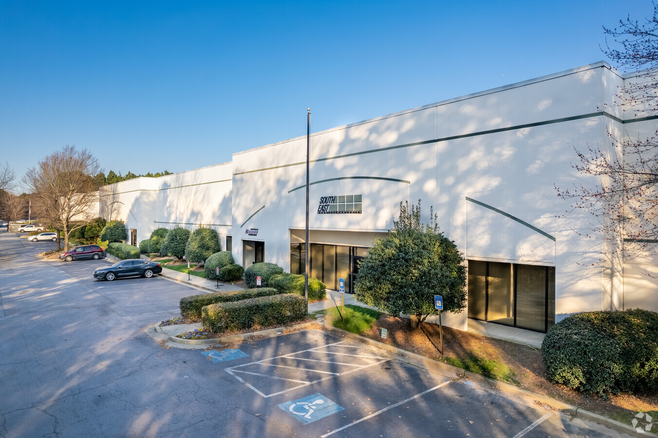
5050 Oakbrook Pky, Norcross, GA 30093


Current Lease Availabilities
NEARBY LISTINGS FOR SALE OR LEASE
Property Detail
5050 Oakbrook Pky
Atlanta-Sandy Springs-Roswell, GA
Indian Brook Park Ii
6-199-101
PT L2 BB INDIAN BROOK PK
Storageyardopenstoragelightequipmentmaterial
Gwinnett
X
Georgia
13135C0098F
2
2024
16.84 AC
2023
Norcross
050453
Atlanta
129,558 SF
DEMOGRAPHICS near 5050 Oakbrook Pky
1 Mile
3 Mile
5 Mile
2024 Total Population
6,586
106,323
261,460
2029 Population
6,761
110,315
270,764
Pop Growth 2024-2029
+ 2.66%
+ 3.75%
+ 3.56%
Average Age
34
34
36
2024 Total Households
2,122
34,954
92,270
HH Growth 2024-2029
+ 2.59%
+ 3.78%
+ 3.49%
Median Household Inc
$41,111
$49,151
$54,839
Avg Household Size
3.00
3.00
2.80
2024 Avg HH Vehicles
2.00
2.00
2.00
Median Home Value
$132,446
$237,799
$273,900
Median Year Built
1987
1987
1988
Nearby Places
- Restaurants
- Banks
- Shops
- Fitness
- Groceries
PUBLIC TRANSPORTATION
AIRPORT
Hartsfield - Jackson Atlanta International
DRIVE
WALK
Distance
Hartsfield - Jackson Atlanta International
41 min
29.7 mi
Freight Ports
Georgia Ports - Savannah
DRIVE
WALK
Distance
Georgia Ports - Savannah
298 min
264.6 mi
Nearby Properties
Address
Land Use
TOTAL SIZE
Lot Size
Zoning
Address
Land Use
TOTAL SIZE
Lot Size
Zoning
703,015 SF
59.34 AC
RM13
Address
Land Use
TOTAL SIZE
Lot Size
Zoning
42,372 SF
41.78 AC
RM13-MULTI
Address
Land Use
TOTAL SIZE
Lot Size
Zoning
631,710 SF
65.19 AC
RM13
Address
Land Use
TOTAL SIZE
Lot Size
Zoning
501,022 SF
40 AC
RM13
Address
Land Use
TOTAL SIZE
Lot Size
Zoning
361,593 SF
13.35 AC
RM24
Address
Land Use
TOTAL SIZE
Lot Size
Zoning
421,755 SF
49.61 AC
RM13
Address
Land Use
TOTAL SIZE
Lot Size
Zoning
228,295 SF
9.53 AC
RM24
Address
Land Use
TOTAL SIZE
Lot Size
Zoning
220,552 SF
35.67 AC
RM8
Address
Land Use
TOTAL SIZE
Lot Size
Zoning
291,033 SF
28.60 AC
RM
Address
Land Use
TOTAL SIZE
Lot Size
Zoning
328,078 SF
34.06 AC
RM13
Address
Land Use
TOTAL SIZE
Lot Size
Zoning
251,214 SF
24.91 AC
RM13
Address
Land Use
TOTAL SIZE
Lot Size
Zoning
347,203 SF
42.88 AC
RM13
Address
Land Use
TOTAL SIZE
Lot Size
Zoning
498,122 SF
80.61 AC
RA200
Address
Land Use
TOTAL SIZE
Lot Size
Zoning
781,705 SF
60.29 AC
M1
Address
Land Use
TOTAL SIZE
Lot Size
Zoning
340,962 SF
34.50 AC
PRD
Address
Land Use
TOTAL SIZE
Lot Size
Zoning
154,108 SF
29.13 AC
M1-LIGHT I
Address
Land Use
TOTAL SIZE
Lot Size
Zoning
353,693 SF
34.61 AC
RM13
Address
Land Use
TOTAL SIZE
Lot Size
Zoning
72,700 SF
2.38 AC
AB3
Address
Land Use
TOTAL SIZE
Lot Size
Zoning
301,407 SF
8.80 AC
OI
Address
Land Use
TOTAL SIZE
Lot Size
Zoning
244,270 SF
20.14 AC
RM10
Address
Land Use
TOTAL SIZE
Lot Size
Zoning
268,800 SF
24.68 AC
RM
Address
Land Use
TOTAL SIZE
Lot Size
Zoning
321,756 SF
26.28 AC
RM
Address
Land Use
TOTAL SIZE
Lot Size
Zoning
356,488 SF
33 AC
RM10
Address
Land Use
TOTAL SIZE
Lot Size
Zoning
346,107 SF
29.56 AC
RM13
Address
Land Use
TOTAL SIZE
Lot Size
Zoning
428,933 SF
50.01 AC
PRD
Address
Land Use
TOTAL SIZE
Lot Size
Zoning
720,051 SF
99.46 AC
MUR
Address
Land Use
TOTAL SIZE
Lot Size
Zoning
239,816 SF
18.37 AC
RM13
Address
Land Use
TOTAL SIZE
Lot Size
Zoning
232,685 SF
16.66 AC
RA200
Address
Land Use
TOTAL SIZE
Lot Size
Zoning
13,704 SF
21.32 AC
RM-MULTI-F
Address
Land Use
TOTAL SIZE
Lot Size
Zoning
342,442 SF
27.24 AC
RM
The World's #1 Commercial Real Estate Marketplace
Connect with us
© 2025 CoStar Group
The information above has been obtained from sources believed reliable. While we do not doubt its accuracy we have not verified it and make no guarantee, warranty or representation about it. It is your responsibility to independently confirm its accuracy and completeness. Any projections, opinions, assumptions, or estimates used are for example only and do not represent the current or future performance of the property. The value of this transaction to you depends on tax and other factors which should be evaluated by your tax, financial, and legal advisors. You and your advisors should conduct a careful, independent investigation of the property to determine to your satisfaction the suitability of the property for your needs.