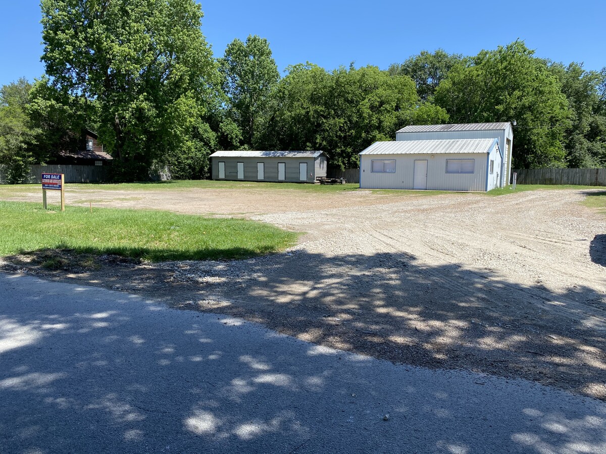
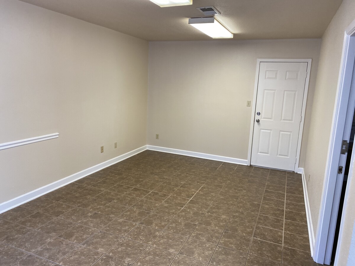
Property Record
507 N 10Th St, La Porte, TX 77571

NEARBY LISTINGS FOR SALE OR LEASE
Property Detail
507 N 10Th St
Houston-The Woodlands-Sugar Land, TX
La Porte
0232130980017
TRS 17 18 19 & 20 BLK 98 LA PORTE
Commercialacreage
Harris
X
Texas
48201C0945M
0.29 AC
2023
Northwest Outlier
2023
Houston
3437001013
DEMOGRAPHICS near 507 N 10Th St
1 Mile
3 Mile
5 Mile
2024 Total Population
4,544
26,826
118,144
2029 Population
4,764
28,277
124,888
Pop Growth 2024-2029
+ 4.84%
+ 5.41%
+ 5.71%
Average Age
41
39
36
2024 Total Households
1,802
10,029
39,478
HH Growth 2024-2029
+ 4.77%
+ 5.34%
+ 5.76%
Median Household Inc
$62,897
$75,404
$98,074
Avg Household Size
2.50
2.60
2.90
2024 Avg HH Vehicles
2.00
2.00
2.00
Median Home Value
$323,774
$320,864
$297,351
Median Year Built
1990
2007
2008
Nearby Places
- Restaurants
- Banks
- Shops
- Fitness
- Groceries
PUBLIC TRANSPORTATION
AIRPORT
William P Hobby
DRIVE
WALK
Distance
William P Hobby
34 min
18.1 mi
George Bush Intcntl/Houston
DRIVE
WALK
Distance
George Bush Intcntl/Houston
46 min
36.6 mi
Freight Ports
Port of Houston
DRIVE
WALK
Distance
Port of Houston
28 min
19.5 mi
SALE & LEASE HISTORY
LISTING DATE
SALE/LEASE

May 06, 2020
For Sale
Nearby Properties
Address
Land Use
TOTAL SIZE
Lot Size
Zoning
Address
Land Use
TOTAL SIZE
Lot Size
Zoning
45.75 AC
Address
Land Use
TOTAL SIZE
Lot Size
Zoning
45.78 AC
Address
Land Use
TOTAL SIZE
Lot Size
Zoning
38.27 AC
Address
Land Use
TOTAL SIZE
Lot Size
Zoning
47.20 AC
Address
Land Use
TOTAL SIZE
Lot Size
Zoning
156.07 AC
Address
Land Use
TOTAL SIZE
Lot Size
Zoning
61.40 AC
Address
Land Use
TOTAL SIZE
Lot Size
Zoning
Address
Land Use
TOTAL SIZE
Lot Size
Zoning
1,126,350 SF
35.24 AC
Address
Land Use
TOTAL SIZE
Lot Size
Zoning
748,500 SF
42.13 AC
Address
Land Use
TOTAL SIZE
Lot Size
Zoning
610,402 SF
34.69 AC
Address
Land Use
TOTAL SIZE
Lot Size
Zoning
335,636 SF
18.02 AC
Address
Land Use
TOTAL SIZE
Lot Size
Zoning
102.68 AC
Address
Land Use
TOTAL SIZE
Lot Size
Zoning
602,060 SF
34.15 AC
Address
Land Use
TOTAL SIZE
Lot Size
Zoning
287,729 SF
20 AC
Address
Land Use
TOTAL SIZE
Lot Size
Zoning
45.18 AC
Address
Land Use
TOTAL SIZE
Lot Size
Zoning
30.58 AC
Address
Land Use
TOTAL SIZE
Lot Size
Zoning
46.57 AC
Address
Land Use
TOTAL SIZE
Lot Size
Zoning
416,005 SF
21.47 AC
Address
Land Use
TOTAL SIZE
Lot Size
Zoning
414,900 SF
25.29 AC
Address
Land Use
TOTAL SIZE
Lot Size
Zoning
415,662 SF
21.49 AC
Address
Land Use
TOTAL SIZE
Lot Size
Zoning
306,482 SF
22.96 AC
Address
Land Use
TOTAL SIZE
Lot Size
Zoning
40.46 AC
Address
Land Use
TOTAL SIZE
Lot Size
Zoning
157,527 SF
10.49 AC
Address
Land Use
TOTAL SIZE
Lot Size
Zoning
69.87 AC
Address
Land Use
TOTAL SIZE
Lot Size
Zoning
365,728 SF
25.30 AC
Address
Land Use
TOTAL SIZE
Lot Size
Zoning
289,475 SF
14.82 AC
Address
Land Use
TOTAL SIZE
Lot Size
Zoning
297,698 SF
19.14 AC
Address
Land Use
TOTAL SIZE
Lot Size
Zoning
21.15 AC
Address
Land Use
TOTAL SIZE
Lot Size
Zoning
297,671 SF
20.07 AC
Address
Land Use
TOTAL SIZE
Lot Size
Zoning
255,840 SF
15.27 AC
The World's #1 Commercial Real Estate Marketplace
Connect with us
© 2025 CoStar Group
The information above has been obtained from sources believed reliable. While we do not doubt its accuracy we have not verified it and make no guarantee, warranty or representation about it. It is your responsibility to independently confirm its accuracy and completeness. Any projections, opinions, assumptions, or estimates used are for example only and do not represent the current or future performance of the property. The value of this transaction to you depends on tax and other factors which should be evaluated by your tax, financial, and legal advisors. You and your advisors should conduct a careful, independent investigation of the property to determine to your satisfaction the suitability of the property for your needs.