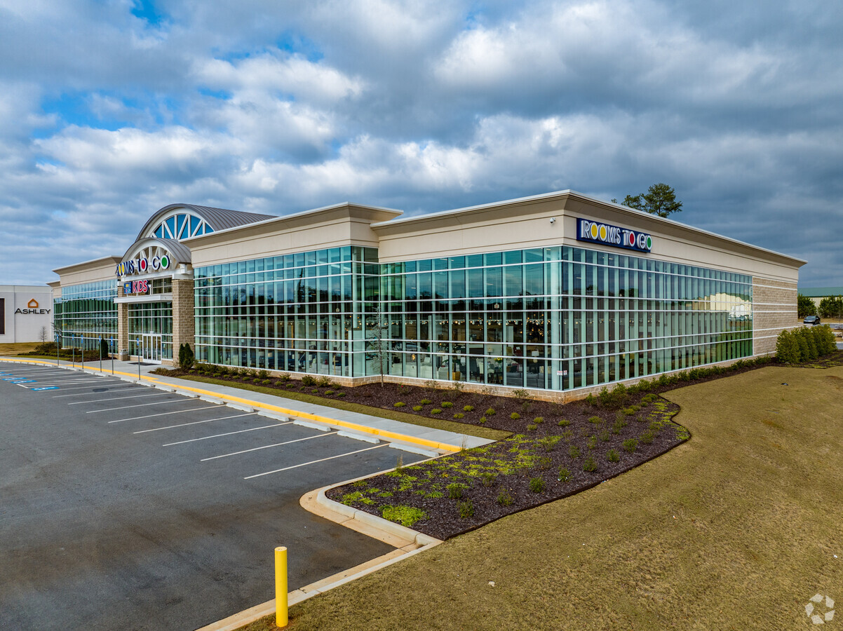
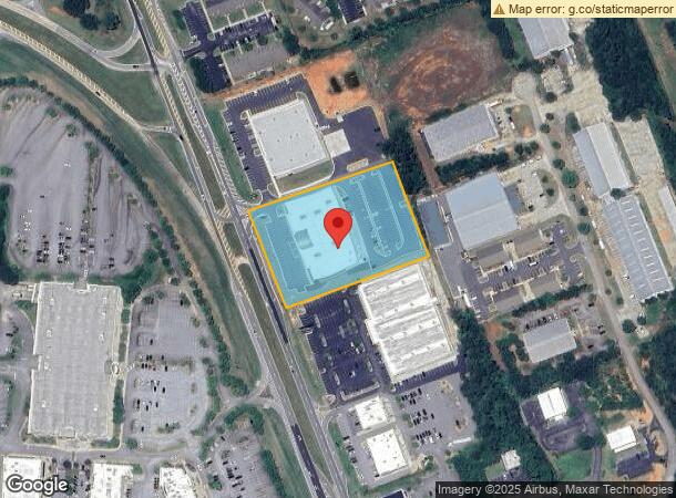
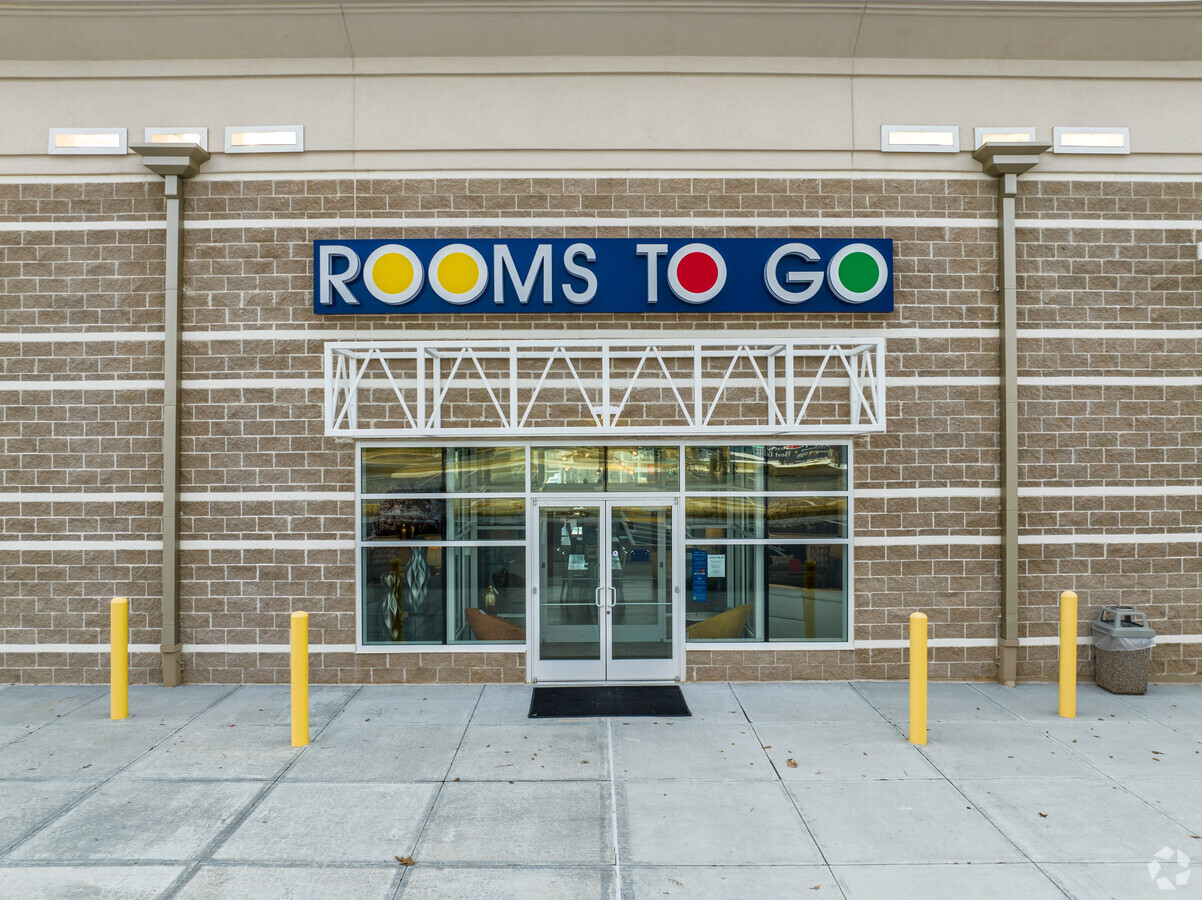
Property Record
5097 Riverside Dr, Macon, GA 31210
NEARBY LISTINGS FOR SALE OR LEASE
Property Detail
5097 Riverside Dr
L002-0011
5097 RIVERSIDE DR LL 317 LD 13
Wholesaleoutletdiscountstore
Bibb
X
Georgia
13169C0215E
11
2024
3.10 AC
2024
Outlying Bibb County
013411
Atlanta
34,628 SF
Macon-Bibb County, GA
DEMOGRAPHICS near 5097 Riverside Dr
1 Mile
3 Mile
5 Mile
2024 Total Population
3,160
17,271
38,482
2029 Population
3,152
17,138
38,197
Pop Growth 2024-2029
(0.25%)
(0.77%)
(0.74%)
Average Age
35
39
40
2024 Total Households
1,591
7,469
16,189
HH Growth 2024-2029
(0.31%)
(0.90%)
(0.81%)
Median Household Inc
$66,463
$77,268
$79,450
Avg Household Size
2.00
2.30
2.30
2024 Avg HH Vehicles
1.00
2.00
2.00
Median Home Value
$269,135
$235,084
$224,191
Median Year Built
1998
1992
1988
Nearby Places
- Restaurants
- Banks
- Shops
- Fitness
- Groceries
Nearby Properties
Address
Land Use
TOTAL SIZE
Lot Size
Zoning
Address
Land Use
TOTAL SIZE
Lot Size
Zoning
83,990 SF
42.03 AC
C-2
Address
Land Use
TOTAL SIZE
Lot Size
Zoning
Address
Land Use
TOTAL SIZE
Lot Size
Zoning
6,222 SF
56.17 AC
PDR
Address
Land Use
TOTAL SIZE
Lot Size
Zoning
298,760 SF
60.24 AC
PDE
Address
Land Use
TOTAL SIZE
Lot Size
Zoning
2,559 SF
45.58 AC
R-3
Address
Land Use
TOTAL SIZE
Lot Size
Zoning
4,671 SF
22.66 AC
R-3
Address
Land Use
TOTAL SIZE
Lot Size
Zoning
94,879 SF
18.77 AC
C-4
Address
Land Use
TOTAL SIZE
Lot Size
Zoning
48,696 SF
23.70 AC
PDE
Address
Land Use
TOTAL SIZE
Lot Size
Zoning
211,536 SF
16.48 AC
C-2
Address
Land Use
TOTAL SIZE
Lot Size
Zoning
194,734 SF
6.37 AC
C-2
Address
Land Use
TOTAL SIZE
Lot Size
Zoning
0.63 AC
007
Address
Land Use
TOTAL SIZE
Lot Size
Zoning
185,591 SF
38.16 AC
PDE
Address
Land Use
TOTAL SIZE
Lot Size
Zoning
3,204 SF
49.78 AC
R-3
Address
Land Use
TOTAL SIZE
Lot Size
Zoning
172,808 SF
38.40 AC
C-4/PDE
Address
Land Use
TOTAL SIZE
Lot Size
Zoning
4,734 SF
40 AC
PDE
Address
Land Use
TOTAL SIZE
Lot Size
Zoning
71,021 SF
8.94 AC
PDC
Address
Land Use
TOTAL SIZE
Lot Size
Zoning
3,902 SF
53.40 AC
PDE
Address
Land Use
TOTAL SIZE
Lot Size
Zoning
62,688 SF
32.47 AC
R-3
Address
Land Use
TOTAL SIZE
Lot Size
Zoning
133,220 SF
9.15 AC
C-2
Address
Land Use
TOTAL SIZE
Lot Size
Zoning
162,132 SF
21.95 AC
PDE
Address
Land Use
TOTAL SIZE
Lot Size
Zoning
55,536 SF
20.36 AC
PDE
Address
Land Use
TOTAL SIZE
Lot Size
Zoning
129,104 SF
37.83 AC
PDE
Address
Land Use
TOTAL SIZE
Lot Size
Zoning
63,654 SF
14.67 AC
C-2
Address
Land Use
TOTAL SIZE
Lot Size
Zoning
1,885 SF
12.62 AC
R-3
Address
Land Use
TOTAL SIZE
Lot Size
Zoning
79,904 SF
5.05 AC
PDE
Address
Land Use
TOTAL SIZE
Lot Size
Zoning
70,900 SF
2.19 AC
PDE
Address
Land Use
TOTAL SIZE
Lot Size
Zoning
3,036 SF
17.32 AC
PDE
Address
Land Use
TOTAL SIZE
Lot Size
Zoning
64,104 SF
9.17 AC
PDE
Address
Land Use
TOTAL SIZE
Lot Size
Zoning
40,406 SF
5.90 AC
PDE
Address
Land Use
TOTAL SIZE
Lot Size
Zoning
83,638 SF
7.28 AC
C-2
The World's #1 Commercial Real Estate Marketplace
Connect with us
© 2025 CoStar Group
The information above has been obtained from sources believed reliable. While we do not doubt its accuracy we have not verified it and make no guarantee, warranty or representation about it. It is your responsibility to independently confirm its accuracy and completeness. Any projections, opinions, assumptions, or estimates used are for example only and do not represent the current or future performance of the property. The value of this transaction to you depends on tax and other factors which should be evaluated by your tax, financial, and legal advisors. You and your advisors should conduct a careful, independent investigation of the property to determine to your satisfaction the suitability of the property for your needs.