Property Record
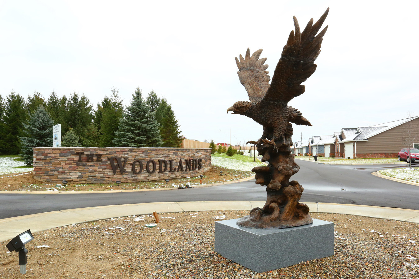
5111 Woodlands Ct, Flint, MI 48532


NEARBY LISTINGS FOR SALE OR LEASE
-
-
View all Flint listings for sale on LoopNet.com
Property Detail
5111 Woodlands Ct
07-20-200-035
Community Farms
Commercialnec
PT OF THE NORTHEAST 1/4 OF SEC 20, BEG AT A POINT N 00 DEG 07 MIN 15 SEC W 893.00 FT ALONG THE E LN OF SEC 20 AND N 88 DEG 36 MIN 30 SEC W 535.05 FT FROM THE E 1/4 COR OF SEC 20; TH N 88 DEG 36 MIN 30 SEC W 30.00 FT; TH S 00 DEG 07 MIN 15 SEC E 66.11
X
Genesee
26049C0282D
Michigan
2024
10.61 AC
2024
Northwest Flint/Flushing
010910
Detroit
61,892 SF
Flint, MI
DEMOGRAPHICS near 5111 Woodlands Ct
1 Mile
3 Mile
5 Mile
2024 Total Population
3,488
31,479
99,828
2029 Population
3,381
30,688
99,770
Pop Growth 2024-2029
(3.07%)
(2.51%)
(0.06%)
Average Age
45
41
40
2024 Total Households
1,672
13,313
41,633
HH Growth 2024-2029
(2.99%)
(2.64%)
(0.11%)
Median Household Inc
$41,615
$46,065
$43,518
Avg Household Size
2.00
2.30
2.30
2024 Avg HH Vehicles
1.00
2.00
2.00
Median Home Value
$118,892
$133,128
$101,806
Median Year Built
1970
1965
1964
Nearby Places
- Restaurants
- Banks
- Shops
- Fitness
- Groceries
PUBLIC TRANSPORTATION
COMMUTER RAIL
Flint Amtrak Station (Blue Water - Amtrak)
DRIVE
WALK
Distance
Flint Amtrak Station (Blue Water - Amtrak)
15 min
7.9 mi
AIRPORT
Bishop International
DRIVE
WALK
Distance
Bishop International
19 min
5.5 mi
Freight Ports
Port of Toledo
DRIVE
WALK
Distance
Port of Toledo
136 min
114.4 mi
Nearby Properties
Address
Land Use
TOTAL SIZE
Lot Size
Zoning
Address
Land Use
TOTAL SIZE
Lot Size
Zoning
101,590 SF
5.54 AC
Address
Land Use
TOTAL SIZE
Lot Size
Zoning
260,000 SF
15.55 AC
E
Address
Land Use
TOTAL SIZE
Lot Size
Zoning
51.34 AC
I-2
Address
Land Use
TOTAL SIZE
Lot Size
Zoning
54,651 SF
3.06 AC
Address
Land Use
TOTAL SIZE
Lot Size
Zoning
571,389 SF
584 AC
Address
Land Use
TOTAL SIZE
Lot Size
Zoning
401,680 SF
20.41 AC
E
Address
Land Use
TOTAL SIZE
Lot Size
Zoning
112,232 SF
196 AC
Address
Land Use
TOTAL SIZE
Lot Size
Zoning
585,182 SF
78.28 AC
Address
Land Use
TOTAL SIZE
Lot Size
Zoning
406,416 SF
21.10 AC
E
Address
Land Use
TOTAL SIZE
Lot Size
Zoning
99,992 SF
8.39 AC
Address
Land Use
TOTAL SIZE
Lot Size
Zoning
59,232 SF
3.65 AC
Address
Land Use
TOTAL SIZE
Lot Size
Zoning
460,000 SF
51.12 AC
E
Address
Land Use
TOTAL SIZE
Lot Size
Zoning
98,985 SF
8.19 AC
Address
Land Use
TOTAL SIZE
Lot Size
Zoning
85,936 SF
12.71 AC
Address
Land Use
TOTAL SIZE
Lot Size
Zoning
153,343 SF
14.83 AC
Address
Land Use
TOTAL SIZE
Lot Size
Zoning
247,555 SF
198 AC
Address
Land Use
TOTAL SIZE
Lot Size
Zoning
74.13 AC
I-2
Address
Land Use
TOTAL SIZE
Lot Size
Zoning
48,557 SF
2.99 AC
Address
Land Use
TOTAL SIZE
Lot Size
Zoning
207,043 SF
24.20 AC
Address
Land Use
TOTAL SIZE
Lot Size
Zoning
23,500 SF
4.96 AC
Address
Land Use
TOTAL SIZE
Lot Size
Zoning
290,502 SF
272.83 AC
Address
Land Use
TOTAL SIZE
Lot Size
Zoning
92,158 SF
8.40 AC
FM,MULT
Address
Land Use
TOTAL SIZE
Lot Size
Zoning
76,823 SF
114 AC
Address
Land Use
TOTAL SIZE
Lot Size
Zoning
235,611 SF
24 AC
Address
Land Use
TOTAL SIZE
Lot Size
Zoning
254,935 SF
3.33 AC
Address
Land Use
TOTAL SIZE
Lot Size
Zoning
157,068 SF
160 AC
Address
Land Use
TOTAL SIZE
Lot Size
Zoning
214,422 SF
208 AC
Address
Land Use
TOTAL SIZE
Lot Size
Zoning
209,058 SF
9.02 AC
Address
Land Use
TOTAL SIZE
Lot Size
Zoning
95,300 SF
9.26 AC
The World's #1 Commercial Real Estate Marketplace
Connect with us
© 2025 CoStar Group
The information above has been obtained from sources believed reliable. While we do not doubt its accuracy we have not verified it and make no guarantee, warranty or representation about it. It is your responsibility to independently confirm its accuracy and completeness. Any projections, opinions, assumptions, or estimates used are for example only and do not represent the current or future performance of the property. The value of this transaction to you depends on tax and other factors which should be evaluated by your tax, financial, and legal advisors. You and your advisors should conduct a careful, independent investigation of the property to determine to your satisfaction the suitability of the property for your needs.