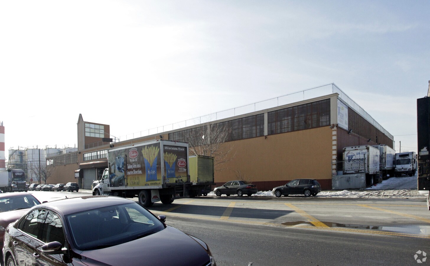
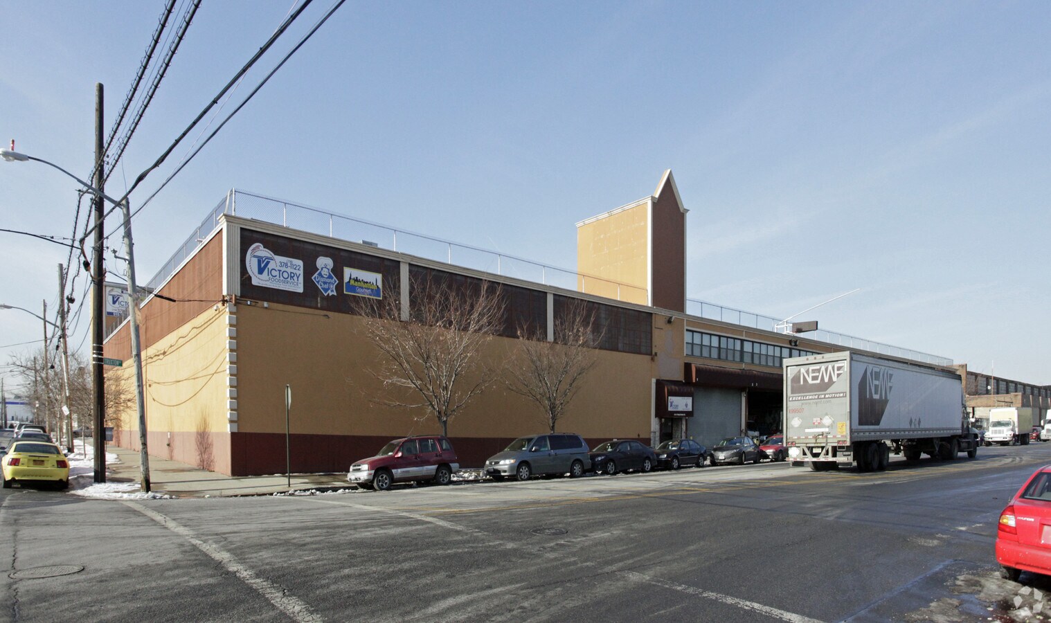
Property Record
515 Truxton St, Bronx, NY 10474
NEARBY LISTINGS FOR SALE OR LEASE
Property Detail
515 Truxton St
New York-Jersey City-White Plains, NY-NJ
Bronx
02606-0252
New York
Warehouse
1.62 AC
X
Bronx
3604970092F
Westchester/So Connecticut
63,138 SF
DEMOGRAPHICS near 515 Truxton St
1 Mile
3 Mile
5 Mile
2024 Total Population
65,919
912,370
2,675,257
2029 Population
61,416
845,028
2,485,247
Pop Growth 2024-2029
(6.83%)
(7.38%)
(7.10%)
Average Age
36
38
40
2024 Total Households
22,069
332,881
1,031,901
HH Growth 2024-2029
(7.68%)
(8.00%)
(7.48%)
Median Household Inc
$33,319
$39,405
$56,969
Avg Household Size
2.80
2.60
2.50
2024 Avg HH Vehicles
.00
.00
.00
Median Home Value
$436,755
$594,114
$735,991
Median Year Built
1963
1957
1952
Nearby Places
- Restaurants
- Banks
- Shops
- Fitness
- Groceries
PUBLIC TRANSPORTATION
TRANSIT/SUBWAY
Longwood Avenue (6 - New York MTA Subway (The Subway))
DRIVE
WALK
Distance
Longwood Avenue (6 - New York MTA Subway (The Subway))
1 min
11 min
0.6 mi
East 149 Street (6 - New York MTA Subway (The Subway))
DRIVE
WALK
Distance
East 149 Street (6 - New York MTA Subway (The Subway))
2 min
13 min
0.7 mi
Hunts Point Avenue (6 - New York MTA Subway (The Subway))
DRIVE
WALK
Distance
Hunts Point Avenue (6 - New York MTA Subway (The Subway))
2 min
17 min
0.9 mi
Prospect Avenue (2,5 Line) (2 - New York MTA Subway (The Subway), 5 - New York MTA Subway (The Subway))
DRIVE
WALK
Distance
Prospect Avenue (2,5 Line) (2 - New York MTA Subway (The Subway), 5 - New York MTA Subway (The Subway))
2 min
18 min
0.9 mi
East 143 Street-St Marys Street (6 - New York MTA Subway (The Subway))
DRIVE
WALK
Distance
East 143 Street-St Marys Street (6 - New York MTA Subway (The Subway))
2 min
20 min
1.0 mi
COMMUTER RAIL
Melrose Station (Harlem Line - Metro-North Commuter Railroad Company (Metro-North))
DRIVE
WALK
Distance
Melrose Station (Harlem Line - Metro-North Commuter Railroad Company (Metro-North))
7 min
2.3 mi
Yankees-E 153Rd Street Station (Hudson Line - Metro-North Commuter Railroad Company (Metro-North))
DRIVE
WALK
Distance
Yankees-E 153Rd Street Station (Hudson Line - Metro-North Commuter Railroad Company (Metro-North))
6 min
3.5 mi
AIRPORT
Laguardia
DRIVE
WALK
Distance
Laguardia
14 min
6.9 mi
John F Kennedy International
DRIVE
WALK
Distance
John F Kennedy International
27 min
18.1 mi
Newark Liberty International
DRIVE
WALK
Distance
Newark Liberty International
32 min
25.8 mi
Freight Ports
NY - Red Hook Container Terminal
DRIVE
WALK
Distance
NY - Red Hook Container Terminal
27 min
15.1 mi
Nearby Properties
Address
Land Use
TOTAL SIZE
Lot Size
Zoning
Address
Land Use
TOTAL SIZE
Lot Size
Zoning
1,290,000 SF
14.56 AC
PARK
Address
Land Use
TOTAL SIZE
Lot Size
Zoning
5,519,372 SF
409.21 AC
C8-2
Address
Land Use
TOTAL SIZE
Lot Size
Zoning
2,278,432 SF
5.98 AC
R7-2
Address
Land Use
TOTAL SIZE
Lot Size
Zoning
1,267,362 SF
1.71 AC
R7-2
Address
Land Use
TOTAL SIZE
Lot Size
Zoning
1,593,305 SF
9.89 AC
C4-4
Address
Land Use
TOTAL SIZE
Lot Size
Zoning
207.09 AC
PARK
Address
Land Use
TOTAL SIZE
Lot Size
Zoning
507,265 SF
4.04 AC
C4-4
Address
Land Use
TOTAL SIZE
Lot Size
Zoning
1,012,000 SF
7.79 AC
R6
Address
Land Use
TOTAL SIZE
Lot Size
Zoning
948 SF
282.37 AC
PARK
Address
Land Use
TOTAL SIZE
Lot Size
Zoning
390,750 SF
265 AC
PARK
Address
Land Use
TOTAL SIZE
Lot Size
Zoning
2,531,670 SF
17.15 AC
R7-2
Address
Land Use
TOTAL SIZE
Lot Size
Zoning
973,381 SF
2.93 AC
M13R8
Address
Land Use
TOTAL SIZE
Lot Size
Zoning
276,285 SF
1.26 AC
R7-2
Address
Land Use
TOTAL SIZE
Lot Size
Zoning
480,769 SF
1.21 AC
R8
Address
Land Use
TOTAL SIZE
Lot Size
Zoning
293,848 SF
2.98 AC
C8-3
Address
Land Use
TOTAL SIZE
Lot Size
Zoning
436,402 SF
9.12 AC
C8-3
Address
Land Use
TOTAL SIZE
Lot Size
Zoning
447,145 SF
8.05 AC
M3-1
Address
Land Use
TOTAL SIZE
Lot Size
Zoning
127,000 SF
16.53 AC
M3-1
Address
Land Use
TOTAL SIZE
Lot Size
Zoning
14,681 SF
97 AC
PARK
Address
Land Use
TOTAL SIZE
Lot Size
Zoning
291,885 SF
8.86 AC
R8
Address
Land Use
TOTAL SIZE
Lot Size
Zoning
394,804 SF
0.46 AC
C44A
Address
Land Use
TOTAL SIZE
Lot Size
Zoning
280,560 SF
0.46 AC
R8
Address
Land Use
TOTAL SIZE
Lot Size
Zoning
566,233 SF
13.25 AC
M3-1
Address
Land Use
TOTAL SIZE
Lot Size
Zoning
526,259 SF
4.79 AC
C4-4
Address
Land Use
TOTAL SIZE
Lot Size
Zoning
986,360 SF
11.85 AC
M3-1
Address
Land Use
TOTAL SIZE
Lot Size
Zoning
809,377 SF
7.64 AC
R7-2
Address
Land Use
TOTAL SIZE
Lot Size
Zoning
238,500 SF
1.13 AC
C4-4
Address
Land Use
TOTAL SIZE
Lot Size
Zoning
340,364 SF
4.10 AC
C4-6
Address
Land Use
TOTAL SIZE
Lot Size
Zoning
1,172,005 SF
128.83 AC
M1-1
Address
Land Use
TOTAL SIZE
Lot Size
Zoning
464,489 SF
5.66 AC
C4-4
The World's #1 Commercial Real Estate Marketplace
Connect with us
© 2025 CoStar Group
The information above has been obtained from sources believed reliable. While we do not doubt its accuracy we have not verified it and make no guarantee, warranty or representation about it. It is your responsibility to independently confirm its accuracy and completeness. Any projections, opinions, assumptions, or estimates used are for example only and do not represent the current or future performance of the property. The value of this transaction to you depends on tax and other factors which should be evaluated by your tax, financial, and legal advisors. You and your advisors should conduct a careful, independent investigation of the property to determine to your satisfaction the suitability of the property for your needs.