Property Record
5182 Chicago Dr, Hudsonville, MI 49426
NEARBY LISTINGS FOR SALE OR LEASE
-
-
View all Hudsonville listings for sale on LoopNet.com
Property Detail
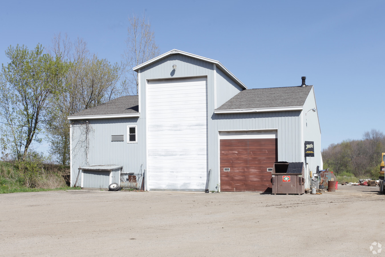
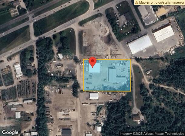
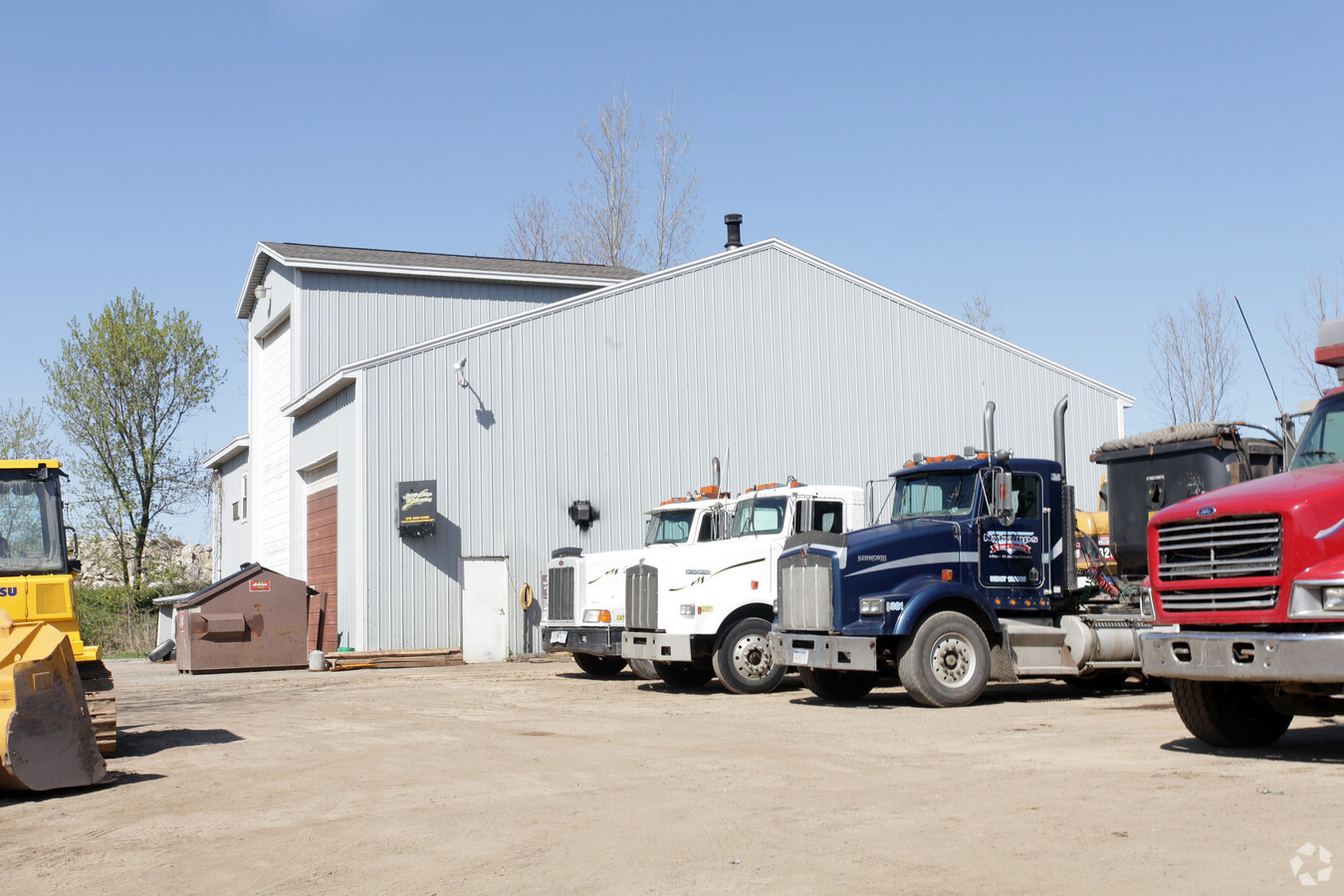
5182 Chicago Dr
70-17-01-400-040
PART OF SE 1/4 COM S 89D 05M 13S W 214102 FT FROM E 1/4 COR, SD PT BEING N 89D 05M 13S E 513 FT FROM N&S 1/4 LI, TH S 89D 05M 13S W 447 FT, TH S 01D 16M 02S E 300 FT, N 89D 05M 13S E 447 FT, TH N 01D 16M 02S W 300 FT TO BEG SEC 1 T5N R14W
Autorepair
Ottawa
X
Michigan
26139C0335E
3.08 AC
2023
E Ottawa Cnty/Hudsonville
2024
West Michigan
021904
Grand Rapids-Wyoming, MI
22,310 SF
DEMOGRAPHICS near 5182 Chicago Dr
1 Mile
3 Mile
5 Mile
2024 Total Population
310
14,292
46,791
2029 Population
339
15,120
49,209
Pop Growth 2024-2029
+ 9.35%
+ 5.79%
+ 5.17%
Average Age
38
37
36
2024 Total Households
97
4,870
15,502
HH Growth 2024-2029
+ 9.28%
+ 5.81%
+ 5.25%
Median Household Inc
$108,750
$93,742
$97,534
Avg Household Size
3.20
2.90
3.00
2024 Avg HH Vehicles
3.00
2.00
2.00
Median Home Value
$332,353
$283,276
$289,627
Median Year Built
2001
1994
1995
Nearby Places
- Restaurants
- Banks
- Shops
- Fitness
- Groceries
PUBLIC TRANSPORTATION
AIRPORT
Gerald R Ford International
DRIVE
WALK
Distance
Gerald R Ford International
35 min
25.2 mi
Freight Ports
Port Milwaukee
DRIVE
WALK
Distance
Port Milwaukee
290 min
247.2 mi
Nearby Properties
Address
Land Use
TOTAL SIZE
Lot Size
Zoning
Address
Land Use
TOTAL SIZE
Lot Size
Zoning
196,665 SF
46.39 AC
SEE MAP
Address
Land Use
TOTAL SIZE
Lot Size
Zoning
273,515 SF
Address
Land Use
TOTAL SIZE
Lot Size
Zoning
20.60 AC
HDR
Address
Land Use
TOTAL SIZE
Lot Size
Zoning
138,648 SF
Address
Land Use
TOTAL SIZE
Lot Size
Zoning
103,308 SF
18.76 AC
N/A
Address
Land Use
TOTAL SIZE
Lot Size
Zoning
322,519 SF
27.04 AC
IND-G
Address
Land Use
TOTAL SIZE
Lot Size
Zoning
83,640 SF
R-1-A
Address
Land Use
TOTAL SIZE
Lot Size
Zoning
116,088 SF
29.18 AC
N/A
Address
Land Use
TOTAL SIZE
Lot Size
Zoning
85,799 SF
12.89 AC
SEE MAP
Address
Land Use
TOTAL SIZE
Lot Size
Zoning
162,719 SF
19.76 AC
SEE MAP
Address
Land Use
TOTAL SIZE
Lot Size
Zoning
392,381 SF
21.73 AC
SEE MAP
Address
Land Use
TOTAL SIZE
Lot Size
Zoning
121,265 SF
17.97 AC
I-2
Address
Land Use
TOTAL SIZE
Lot Size
Zoning
56,784 SF
7.93 AC
R-4
Address
Land Use
TOTAL SIZE
Lot Size
Zoning
78,846 SF
8.73 AC
I
Address
Land Use
TOTAL SIZE
Lot Size
Zoning
47,386 SF
6.93 AC
LDR
Address
Land Use
TOTAL SIZE
Lot Size
Zoning
11.56 AC
SEE MAP
Address
Land Use
TOTAL SIZE
Lot Size
Zoning
6.29 AC
SEE MAP
Address
Land Use
TOTAL SIZE
Lot Size
Zoning
78,392 SF
10.45 AC
I-2
Address
Land Use
TOTAL SIZE
Lot Size
Zoning
91,450 SF
10.45 AC
SEE MAP
Address
Land Use
TOTAL SIZE
Lot Size
Zoning
142.51 AC
N/A
Address
Land Use
TOTAL SIZE
Lot Size
Zoning
60,000 SF
18.36 AC
I-1
Address
Land Use
TOTAL SIZE
Lot Size
Zoning
103,976 SF
8.68 AC
IND-G
Address
Land Use
TOTAL SIZE
Lot Size
Zoning
38,017 SF
5.46 AC
HC
Address
Land Use
TOTAL SIZE
Lot Size
Zoning
42,914 SF
4.04 AC
SEE MAP
Address
Land Use
TOTAL SIZE
Lot Size
Zoning
50,578 SF
31.51 AC
SEE MAP
Address
Land Use
TOTAL SIZE
Lot Size
Zoning
51,000 SF
4.25 AC
I-1
Address
Land Use
TOTAL SIZE
Lot Size
Zoning
28,912 SF
5.31 AC
I-2
Address
Land Use
TOTAL SIZE
Lot Size
Zoning
28,526 SF
3.39 AC
HC
Address
Land Use
TOTAL SIZE
Lot Size
Zoning
83,310 SF
5.84 AC
SEE MAP
Address
Land Use
TOTAL SIZE
Lot Size
Zoning
32,576 SF
2.23 AC
PF
The World's #1 Commercial Real Estate Marketplace
Connect with us
© 2025 CoStar Group
The information above has been obtained from sources believed reliable. While we do not doubt its accuracy we have not verified it and make no guarantee, warranty or representation about it. It is your responsibility to independently confirm its accuracy and completeness. Any projections, opinions, assumptions, or estimates used are for example only and do not represent the current or future performance of the property. The value of this transaction to you depends on tax and other factors which should be evaluated by your tax, financial, and legal advisors. You and your advisors should conduct a careful, independent investigation of the property to determine to your satisfaction the suitability of the property for your needs.