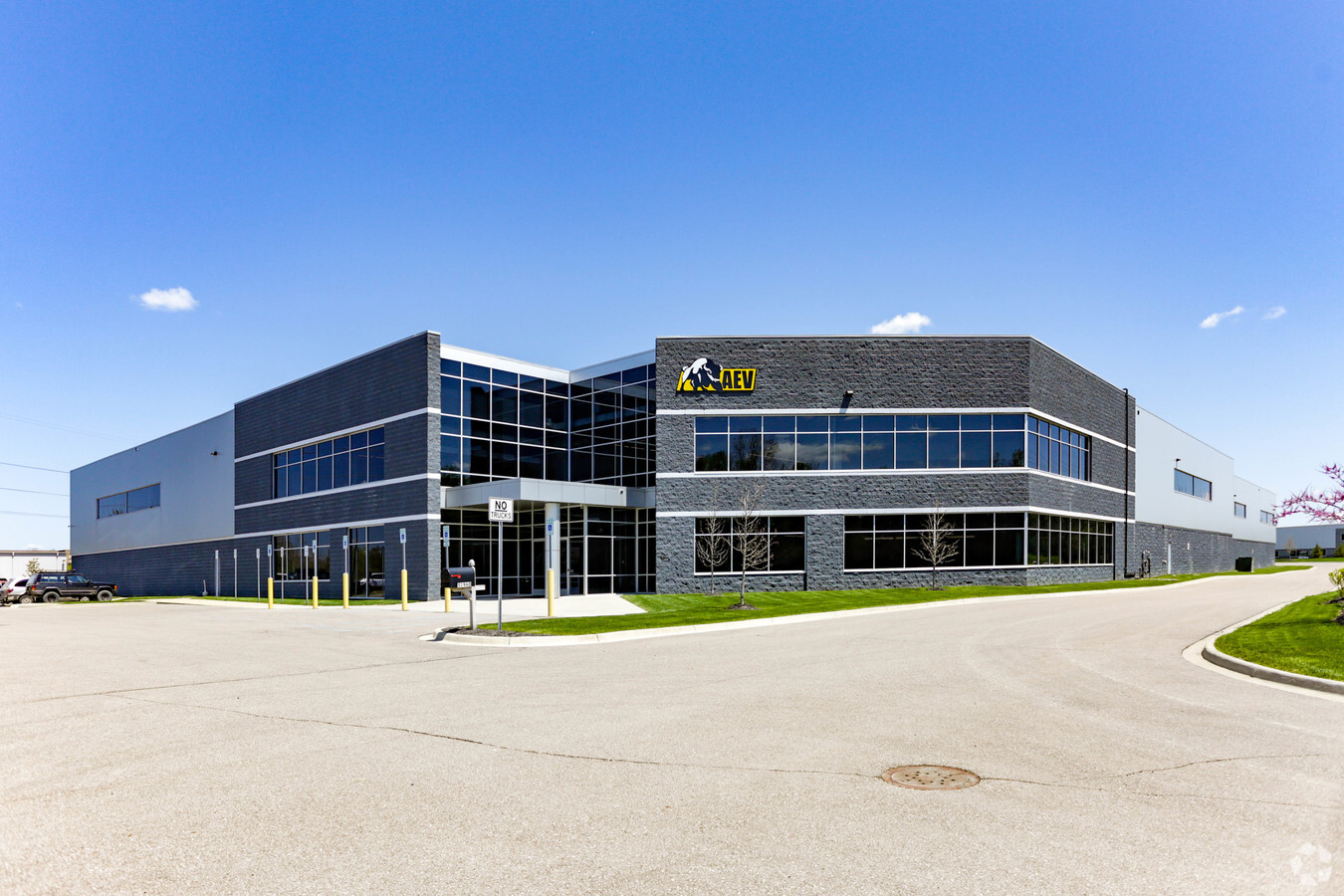
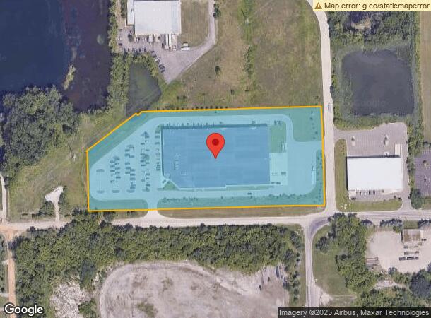
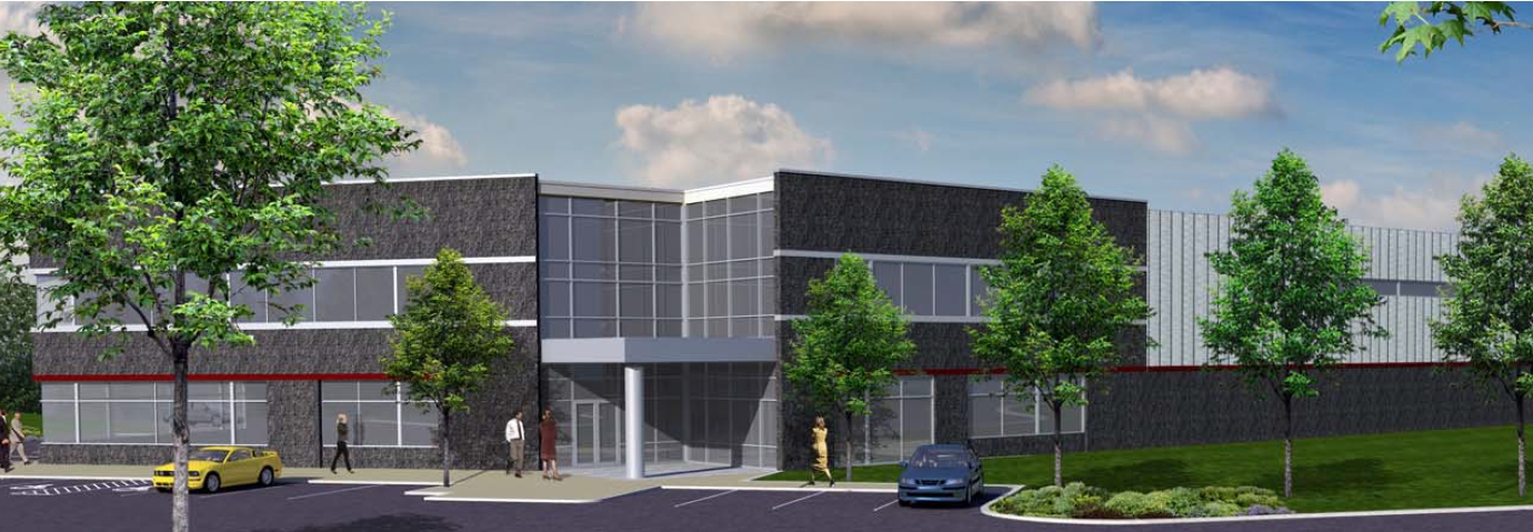
Property Record
51960 W 12 Mile Rd, Wixom, MI 48393

NEARBY LISTINGS FOR SALE OR LEASE
Property Detail
51960 W 12 Mile Rd
21-12-452-012
Oakland County Condominium
Warehouse
T1N, R7E, SEC 12 OAKLAND COUNTY CONDOMINIUM PLAN NO 1474 QUADRANTS INDUSTRIAL/ RESEARCH CENTRE CONDOMINIUM UNIT 21 L 47344 P 68 8-27-14 FR 003, 006 TO 009 INCL & RD
X
Oakland
26163C0010E
Michigan
2024
8.51 AC
2024
Central I-96 Corridor
138600
Detroit
101,749 SF
Detroit-Warren-Dearborn, MI
DEMOGRAPHICS near 51960 W 12 Mile Rd
1 Mile
3 Mile
5 Mile
2024 Total Population
3,775
26,449
93,189
2029 Population
3,664
25,977
92,267
Pop Growth 2024-2029
(2.94%)
(1.78%)
(0.99%)
Average Age
36
38
39
2024 Total Households
1,478
10,419
36,046
HH Growth 2024-2029
(3.65%)
(2.65%)
(1.30%)
Median Household Inc
$60,954
$92,311
$105,723
Avg Household Size
2.50
2.50
2.60
2024 Avg HH Vehicles
2.00
2.00
2.00
Median Home Value
$384,650
$450,686
$389,313
Median Year Built
1994
1993
1993
Nearby Places
- Restaurants
- Banks
- Shops
- Fitness
- Groceries
PUBLIC TRANSPORTATION
AIRPORT
Detroit Metro Wayne County
DRIVE
WALK
Distance
Detroit Metro Wayne County
40 min
32.0 mi
Freight Ports
Port of Toledo
DRIVE
WALK
Distance
Port of Toledo
89 min
73.6 mi
Nearby Properties
Address
Land Use
TOTAL SIZE
Lot Size
Zoning
Address
Land Use
TOTAL SIZE
Lot Size
Zoning
873,288 SF
Address
Land Use
TOTAL SIZE
Lot Size
Zoning
563,160 SF
47.06 AC
Address
Land Use
TOTAL SIZE
Lot Size
Zoning
12,872 SF
43.06 AC
RM-1
Address
Land Use
TOTAL SIZE
Lot Size
Zoning
20.71 AC
OSC
Address
Land Use
TOTAL SIZE
Lot Size
Zoning
317,215 SF
23.63 AC
Address
Land Use
TOTAL SIZE
Lot Size
Zoning
144.50 AC
OSC
Address
Land Use
TOTAL SIZE
Lot Size
Zoning
184,225 SF
13.84 AC
OSC
Address
Land Use
TOTAL SIZE
Lot Size
Zoning
38.85 AC
RC2
Address
Land Use
TOTAL SIZE
Lot Size
Zoning
Address
Land Use
TOTAL SIZE
Lot Size
Zoning
140,366 SF
30.67 AC
II
Address
Land Use
TOTAL SIZE
Lot Size
Zoning
195,802 SF
9.87 AC
BV
Address
Land Use
TOTAL SIZE
Lot Size
Zoning
172,700 SF
Address
Land Use
TOTAL SIZE
Lot Size
Zoning
126,720 SF
8.31 AC
Address
Land Use
TOTAL SIZE
Lot Size
Zoning
7,471 SF
114.63 AC
MM
Address
Land Use
TOTAL SIZE
Lot Size
Zoning
325,725 SF
30.46 AC
Address
Land Use
TOTAL SIZE
Lot Size
Zoning
25.58 AC
RC1
Address
Land Use
TOTAL SIZE
Lot Size
Zoning
279,807 SF
31.24 AC
II
Address
Land Use
TOTAL SIZE
Lot Size
Zoning
154,490 SF
Address
Land Use
TOTAL SIZE
Lot Size
Zoning
200,926 SF
30.87 AC
M1
Address
Land Use
TOTAL SIZE
Lot Size
Zoning
287,382 SF
42.91 AC
II
Address
Land Use
TOTAL SIZE
Lot Size
Zoning
286,708 SF
Address
Land Use
TOTAL SIZE
Lot Size
Zoning
208,276 SF
28.02 AC
Address
Land Use
TOTAL SIZE
Lot Size
Zoning
101,752 SF
7.20 AC
Address
Land Use
TOTAL SIZE
Lot Size
Zoning
223,110 SF
18.53 AC
BI
Address
Land Use
TOTAL SIZE
Lot Size
Zoning
14.93 AC
RC2
Address
Land Use
TOTAL SIZE
Lot Size
Zoning
325,725 SF
Address
Land Use
TOTAL SIZE
Lot Size
Zoning
150,217 SF
10.22 AC
IV
Address
Land Use
TOTAL SIZE
Lot Size
Zoning
233,158 SF
24.50 AC
Address
Land Use
TOTAL SIZE
Lot Size
Zoning
132,101 SF
Address
Land Use
TOTAL SIZE
Lot Size
Zoning
2,980 SF
71.92 AC
MH
The World's #1 Commercial Real Estate Marketplace
Connect with us
© 2025 CoStar Group
The information above has been obtained from sources believed reliable. While we do not doubt its accuracy we have not verified it and make no guarantee, warranty or representation about it. It is your responsibility to independently confirm its accuracy and completeness. Any projections, opinions, assumptions, or estimates used are for example only and do not represent the current or future performance of the property. The value of this transaction to you depends on tax and other factors which should be evaluated by your tax, financial, and legal advisors. You and your advisors should conduct a careful, independent investigation of the property to determine to your satisfaction the suitability of the property for your needs.