Property Record
52 Courtenay Dr, Charleston, SC 29403


NEARBY LISTINGS FOR SALE OR LEASE
Property Detail
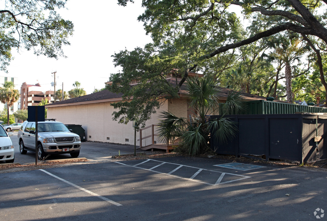
52 Courtenay Dr
Charleston-North Charleston, SC
52 Courtenay Dr
460-15-01-003
LEGAL DESCRIPTION SUBDIVISION NAME -52 COURTENAY DR DESCRIPTION -LT 1/2 LT 11 AND ALL LT 13 SITE N AME -12-PARKING SPACES PLA
Officebuilding
Charleston
AE
South Carolina
45019C0512K
1
2023
0.18 AC
2023
Downtown Charleston
000600
Charleston/N Charleston
1,413 SF
DEMOGRAPHICS near 52 Courtenay Dr
1 Mile
3 Mile
5 Mile
2024 Total Population
17,937
59,102
128,375
2029 Population
19,605
64,149
138,179
Pop Growth 2024-2029
+ 9.30%
+ 8.54%
+ 7.64%
Average Age
35
38
40
2024 Total Households
8,469
27,032
57,502
HH Growth 2024-2029
+ 9.30%
+ 8.66%
+ 7.61%
Median Household Inc
$60,504
$68,793
$74,108
Avg Household Size
1.90
2.00
2.10
2024 Avg HH Vehicles
1.00
2.00
2.00
Median Home Value
$669,269
$559,541
$452,507
Median Year Built
1955
1964
1974
Nearby Places
- Restaurants
- Banks
- Shops
- Fitness
- Groceries
PUBLIC TRANSPORTATION
COMMUTER RAIL
Charleston Amtrak Station (Palmetto - Amtrak, Silver Meteor - Amtrak)
Drive
Walk
Distance
Charleston Amtrak Station (Palmetto - Amtrak, Silver Meteor - Amtrak)
11 min
8.1 mi
AIRPORT
Charleston AFB/International
Drive
Walk
Distance
Charleston AFB/International
22 min
14.6 mi
Freight Ports
Columbus Street Terminal
Drive
Walk
Distance
Columbus Street Terminal
3 min
1.6 mi
Nearby Properties
Address
Land Use
TOTAL SIZE
Lot Size
Zoning
Address
Land Use
TOTAL SIZE
Lot Size
Zoning
2592
13.64 AC
Address
Land Use
TOTAL SIZE
Lot Size
Zoning
Address
Land Use
TOTAL SIZE
Lot Size
Zoning
0.62 AC
Address
Land Use
TOTAL SIZE
Lot Size
Zoning
79990
9.22 AC
Address
Land Use
TOTAL SIZE
Lot Size
Zoning
85408
9.39 AC
Address
Land Use
TOTAL SIZE
Lot Size
Zoning
8472
9.83 AC
Address
Land Use
TOTAL SIZE
Lot Size
Zoning
8472
9.84 AC
Address
Land Use
TOTAL SIZE
Lot Size
Zoning
1435
1.98 AC
Address
Land Use
TOTAL SIZE
Lot Size
Zoning
17459
4.16 AC
Address
Land Use
TOTAL SIZE
Lot Size
Zoning
8714
1.60 AC
Address
Land Use
TOTAL SIZE
Lot Size
Zoning
1282
8.42 AC
Address
Land Use
TOTAL SIZE
Lot Size
Zoning
Address
Land Use
TOTAL SIZE
Lot Size
Zoning
Address
Land Use
TOTAL SIZE
Lot Size
Zoning
5733
0.10 AC
Address
Land Use
TOTAL SIZE
Lot Size
Zoning
43934
1.50 AC
Address
Land Use
TOTAL SIZE
Lot Size
Zoning
14240
3.50 AC
Address
Land Use
TOTAL SIZE
Lot Size
Zoning
8740
0.58 AC
Address
Land Use
TOTAL SIZE
Lot Size
Zoning
Address
Land Use
TOTAL SIZE
Lot Size
Zoning
22825
4.36 AC
Address
Land Use
TOTAL SIZE
Lot Size
Zoning
24320
1.31 AC
Address
Land Use
TOTAL SIZE
Lot Size
Zoning
41070
0.61 AC
Address
Land Use
TOTAL SIZE
Lot Size
Zoning
Address
Land Use
TOTAL SIZE
Lot Size
Zoning
6.57 AC
Address
Land Use
TOTAL SIZE
Lot Size
Zoning
119711
0.93 AC
Address
Land Use
TOTAL SIZE
Lot Size
Zoning
1.89 AC
Address
Land Use
TOTAL SIZE
Lot Size
Zoning
257500
4.72 AC
Address
Land Use
TOTAL SIZE
Lot Size
Zoning
12766
1.72 AC
Address
Land Use
TOTAL SIZE
Lot Size
Zoning
2960
1.62 AC
Address
Land Use
TOTAL SIZE
Lot Size
Zoning
Address
Land Use
TOTAL SIZE
Lot Size
Zoning
Start a new search to find other properties for sale or lease
Connect with us
© 2024 CoStar Group
The information above has been obtained from sources believed reliable. While we do not doubt its accuracy we have not verified it and make no guarantee, warranty or representation about it. It is your responsibility to independently confirm its accuracy and completeness. Any projections, opinions, assumptions, or estimates used are for example only and do not represent the current or future performance of the property. The value of this transaction to you depends on tax and other factors which should be evaluated by your tax, financial, and legal advisors. You and your advisors should conduct a careful, independent investigation of the property to determine to your satisfaction the suitability of the property for your needs.