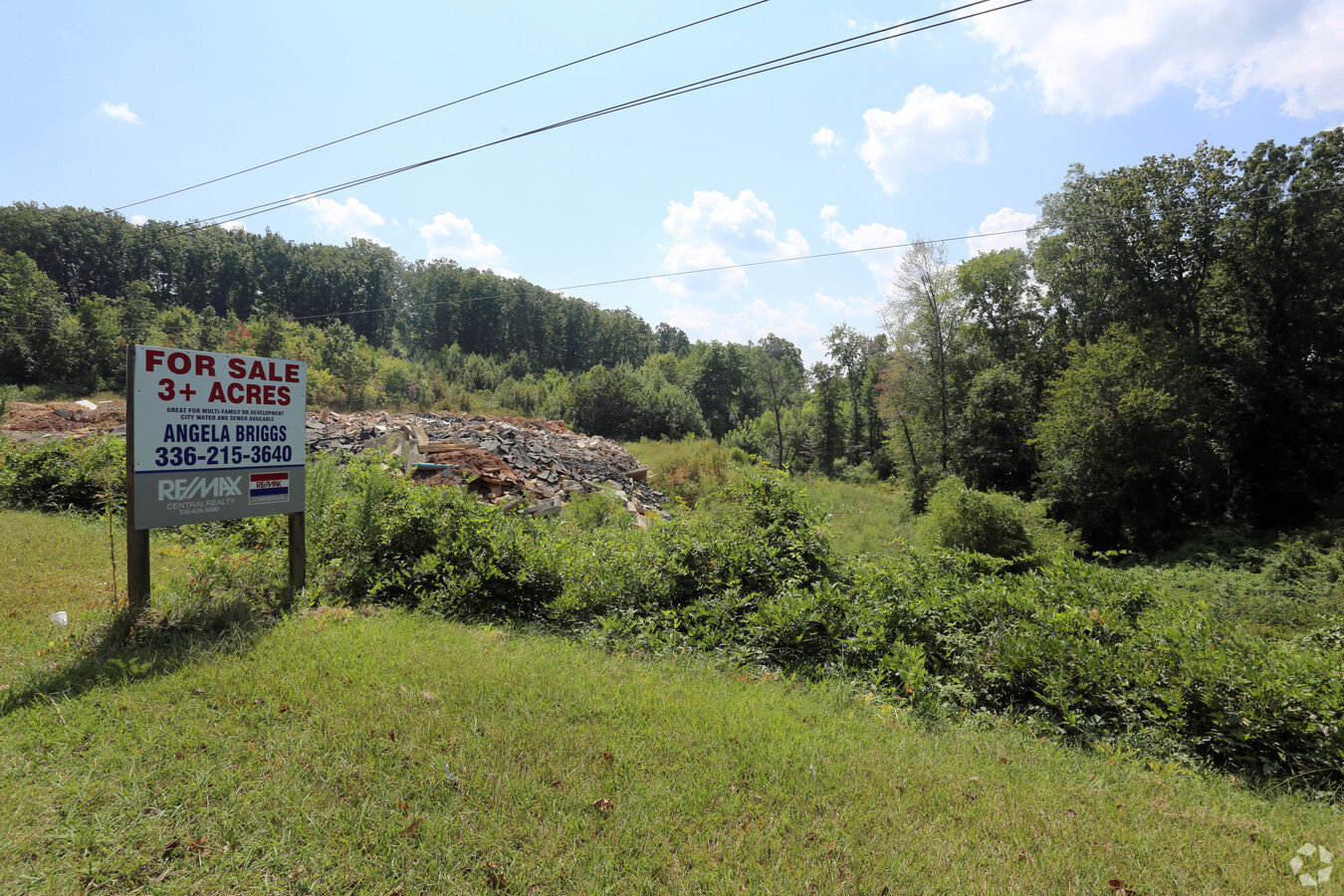
Property Record
W Presnell St, Asheboro, NC 27203


NEARBY LISTINGS FOR SALE OR LEASE
Property Detail
W Presnell St
Greensboro-High Point, NC
Andrew J Mcarthur
7751-56-9237
ANDREW J MCARTHUR;L22-29 +TR PL:PB114-PG68
Vacantlandnec
Randolph
X
North Carolina
3710775100J
22-29
2024
2.91 AC
2024
Asheboro CBD
030301
Greensboro/Winston-Salem
DEMOGRAPHICS near W Presnell St
1 Mile
3 Mile
5 Mile
2024 Total Population
5,959
26,753
42,340
2029 Population
6,216
27,806
44,047
Pop Growth 2024-2029
+ 4.31%
+ 3.94%
+ 4.03%
Average Age
39
40
40
2024 Total Households
2,443
10,765
16,813
HH Growth 2024-2029
+ 4.34%
+ 3.95%
+ 4.03%
Median Household Inc
$38,928
$46,907
$49,166
Avg Household Size
2.30
2.40
2.40
2024 Avg HH Vehicles
1.00
2.00
2.00
Median Home Value
$135,731
$148,584
$145,726
Median Year Built
1968
1974
1979
Nearby Places
- Restaurants
- Banks
- Shops
- Fitness
- Groceries
PUBLIC TRANSPORTATION
AIRPORT
Piedmont Triad International
DRIVE
WALK
Distance
Piedmont Triad International
45 min
33.4 mi
Freight Ports
Port of Wilmington
DRIVE
WALK
Distance
Port of Wilmington
228 min
191.8 mi
SALE & LEASE HISTORY
LISTING DATE
SALE/LEASE

Sep 25, 2017
For Sale
Nearby Properties
Address
Land Use
TOTAL SIZE
Lot Size
Zoning
Address
Land Use
TOTAL SIZE
Lot Size
Zoning
312,205 SF
6.83 AC
B2
Address
Land Use
TOTAL SIZE
Lot Size
Zoning
221,524 SF
22.11 AC
B2 (CZ)
Address
Land Use
TOTAL SIZE
Lot Size
Zoning
178,413 SF
35.87 AC
B2
Address
Land Use
TOTAL SIZE
Lot Size
Zoning
24.92 AC
B2
Address
Land Use
TOTAL SIZE
Lot Size
Zoning
5.24 AC
B3
Address
Land Use
TOTAL SIZE
Lot Size
Zoning
4,800 SF
24.07 AC
RA6
Address
Land Use
TOTAL SIZE
Lot Size
Zoning
75,251 SF
18.75 AC
B2 (CZ)
Address
Land Use
TOTAL SIZE
Lot Size
Zoning
20,500 SF
71.50 AC
I2
Address
Land Use
TOTAL SIZE
Lot Size
Zoning
26.07 AC
B2
Address
Land Use
TOTAL SIZE
Lot Size
Zoning
84,857 SF
8.31 AC
B2
Address
Land Use
TOTAL SIZE
Lot Size
Zoning
172,096 SF
11.84 AC
I2
Address
Land Use
TOTAL SIZE
Lot Size
Zoning
84,298 SF
8.25 AC
B2
Address
Land Use
TOTAL SIZE
Lot Size
Zoning
94,956 SF
15.15 AC
B2
Address
Land Use
TOTAL SIZE
Lot Size
Zoning
159,217 SF
25.99 AC
I1
Address
Land Use
TOTAL SIZE
Lot Size
Zoning
52,741 SF
2.53 AC
B2
Address
Land Use
TOTAL SIZE
Lot Size
Zoning
136,877 SF
25.59 AC
I1
Address
Land Use
TOTAL SIZE
Lot Size
Zoning
24,000 SF
8.56 AC
B2
Address
Land Use
TOTAL SIZE
Lot Size
Zoning
18,844 SF
2.83 AC
B2
Address
Land Use
TOTAL SIZE
Lot Size
Zoning
4,800 SF
6.64 AC
RA6
Address
Land Use
TOTAL SIZE
Lot Size
Zoning
2,592 SF
15.50 AC
RA6
Address
Land Use
TOTAL SIZE
Lot Size
Zoning
36,798 SF
25.95 AC
I3
Address
Land Use
TOTAL SIZE
Lot Size
Zoning
39,512 SF
2.91 AC
B2
Address
Land Use
TOTAL SIZE
Lot Size
Zoning
47,797 SF
2.61 AC
B2 (CZ)
Address
Land Use
TOTAL SIZE
Lot Size
Zoning
15,384 SF
6.03 AC
I1
Address
Land Use
TOTAL SIZE
Lot Size
Zoning
5.58 AC
B2
Address
Land Use
TOTAL SIZE
Lot Size
Zoning
43,046 SF
4.09 AC
B2
Address
Land Use
TOTAL SIZE
Lot Size
Zoning
59,830 SF
0.85 AC
RA6
Address
Land Use
TOTAL SIZE
Lot Size
Zoning
75,024 SF
2.02 AC
B2
Address
Land Use
TOTAL SIZE
Lot Size
Zoning
14,084 SF
7.40 AC
RA6
Address
Land Use
TOTAL SIZE
Lot Size
Zoning
66,585 SF
7.34 AC
OA6
The World's #1 Commercial Real Estate Marketplace
Connect with us
© 2025 CoStar Group
The information above has been obtained from sources believed reliable. While we do not doubt its accuracy we have not verified it and make no guarantee, warranty or representation about it. It is your responsibility to independently confirm its accuracy and completeness. Any projections, opinions, assumptions, or estimates used are for example only and do not represent the current or future performance of the property. The value of this transaction to you depends on tax and other factors which should be evaluated by your tax, financial, and legal advisors. You and your advisors should conduct a careful, independent investigation of the property to determine to your satisfaction the suitability of the property for your needs.