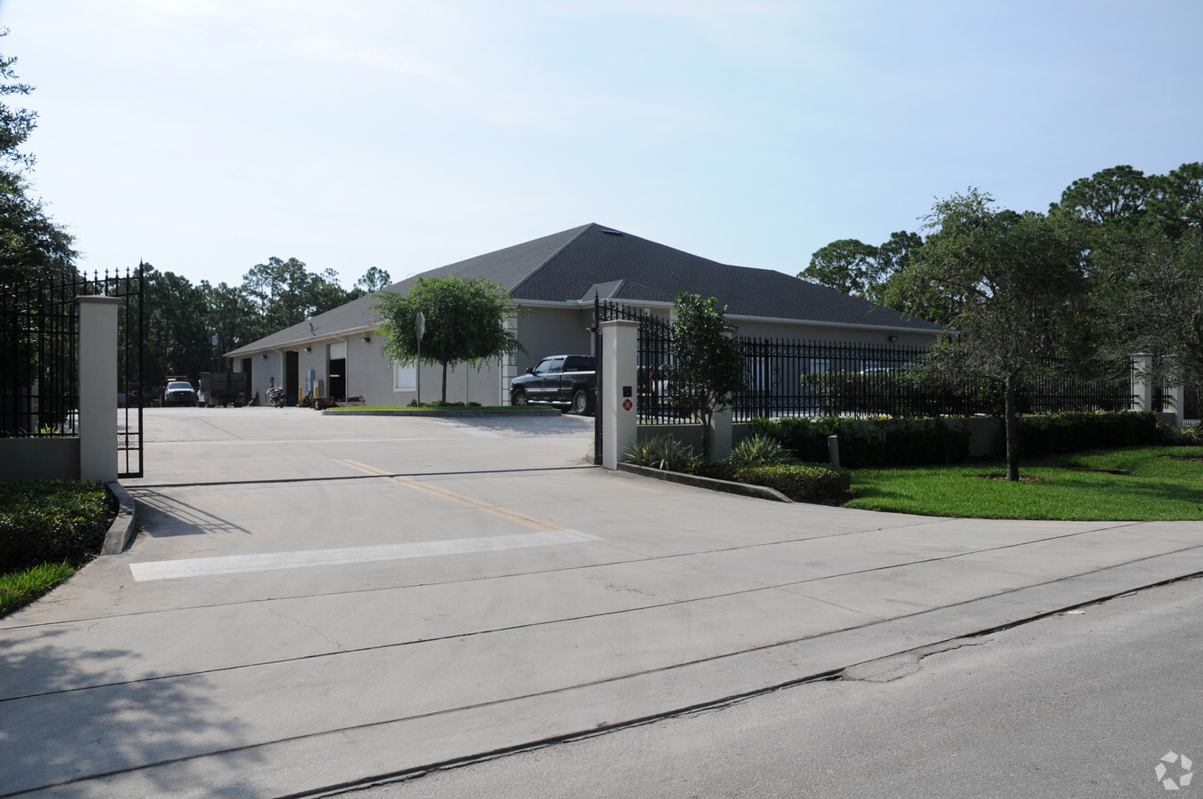
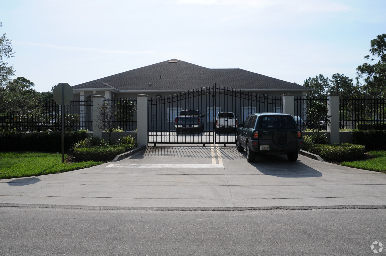
Property Record
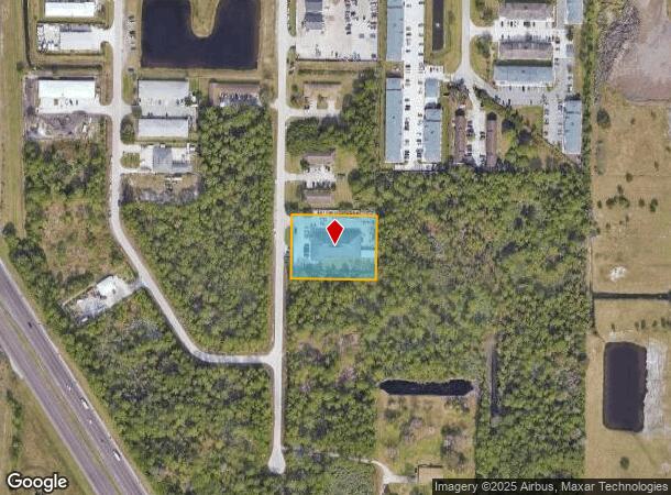
521 Thor Ave Se, Palm Bay, FL 32909
NEARBY LISTINGS FOR SALE OR LEASE
Property Detail
521 Thor Ave Se
Palm Bay-Melbourne-Titusville, FL
Port Malabar Unit 40
29-37-03-26-01990.0-0008.00
PORT MALABAR UNIT 40 LOTS 7 & 8 BLK 1990
Lightindustrial
Brevard
A
Florida
12009C0680G
8
2023
1.22 AC
2023
Brevard County
065231
Orlando
11,974 SF
DEMOGRAPHICS near 521 Thor Ave Se
1 Mile
3 Mile
5 Mile
2024 Total Population
1,404
45,182
120,738
2029 Population
1,528
49,776
133,063
Pop Growth 2024-2029
+ 8.83%
+ 10.17%
+ 10.21%
Average Age
42
43
42
2024 Total Households
559
17,613
48,363
HH Growth 2024-2029
+ 8.59%
+ 9.96%
+ 10.02%
Median Household Inc
$61,875
$54,274
$55,835
Avg Household Size
2.50
2.50
2.40
2024 Avg HH Vehicles
2.00
2.00
2.00
Median Home Value
$311,932
$215,869
$222,175
Median Year Built
1987
1988
1992
Nearby Places
- Restaurants
- Banks
- Shops
- Fitness
- Groceries
PUBLIC TRANSPORTATION
AIRPORT
Melbourne Orlando International
DRIVE
WALK
Distance
Melbourne Orlando International
21 min
9.4 mi
Freight Ports
Port Canaveral
DRIVE
WALK
Distance
Port Canaveral
54 min
43.3 mi
Nearby Properties
Address
Land Use
TOTAL SIZE
Lot Size
Zoning
Address
Land Use
TOTAL SIZE
Lot Size
Zoning
292,165 SF
24.39 AC
RM15
Address
Land Use
TOTAL SIZE
Lot Size
Zoning
284,024 SF
16 AC
IU
Address
Land Use
TOTAL SIZE
Lot Size
Zoning
307,849 SF
39.14 AC
IU
Address
Land Use
TOTAL SIZE
Lot Size
Zoning
294,170 SF
70.66 AC
IU
Address
Land Use
TOTAL SIZE
Lot Size
Zoning
260,331 SF
9.90 AC
RM10
Address
Land Use
TOTAL SIZE
Lot Size
Zoning
4,000 SF
12.20 AC
IU
Address
Land Use
TOTAL SIZE
Lot Size
Zoning
143,529 SF
7.76 AC
RM20
Address
Land Use
TOTAL SIZE
Lot Size
Zoning
267,548 SF
23.10 AC
RM10
Address
Land Use
TOTAL SIZE
Lot Size
Zoning
216,692 SF
28.97 AC
CC
Address
Land Use
TOTAL SIZE
Lot Size
Zoning
118,747 SF
11.43 AC
RM10
Address
Land Use
TOTAL SIZE
Lot Size
Zoning
121,353 SF
24.37 AC
RS2
Address
Land Use
TOTAL SIZE
Lot Size
Zoning
104,620 SF
12.82 AC
IU
Address
Land Use
TOTAL SIZE
Lot Size
Zoning
103,507 SF
24.90 AC
IU
Address
Land Use
TOTAL SIZE
Lot Size
Zoning
222,925 SF
12.75 AC
PUD
Address
Land Use
TOTAL SIZE
Lot Size
Zoning
48,492 SF
17.45 AC
OI
Address
Land Use
TOTAL SIZE
Lot Size
Zoning
150,810 SF
15.11 AC
CC
Address
Land Use
TOTAL SIZE
Lot Size
Zoning
79,677 SF
13.90 AC
IU
Address
Land Use
TOTAL SIZE
Lot Size
Zoning
171,010 SF
16.35 AC
CC
Address
Land Use
TOTAL SIZE
Lot Size
Zoning
108,360 SF
18.48 AC
CC
Address
Land Use
TOTAL SIZE
Lot Size
Zoning
86,067 SF
13.20 AC
CC
Address
Land Use
TOTAL SIZE
Lot Size
Zoning
49,541 SF
6.94 AC
NC
Address
Land Use
TOTAL SIZE
Lot Size
Zoning
36,771 SF
16.99 AC
IL
Address
Land Use
TOTAL SIZE
Lot Size
Zoning
59,871 SF
6.56 AC
LI
Address
Land Use
TOTAL SIZE
Lot Size
Zoning
64,984 SF
7.20 AC
RM15
Address
Land Use
TOTAL SIZE
Lot Size
Zoning
55,111 SF
11.55 AC
CC
Address
Land Use
TOTAL SIZE
Lot Size
Zoning
13,793 SF
65 AC
LI
Address
Land Use
TOTAL SIZE
Lot Size
Zoning
54,774 SF
2.67 AC
CC
Address
Land Use
TOTAL SIZE
Lot Size
Zoning
44,508 SF
4.81 AC
RM20
Address
Land Use
TOTAL SIZE
Lot Size
Zoning
49,724 SF
6.25 AC
CC
Address
Land Use
TOTAL SIZE
Lot Size
Zoning
19,640 SF
5.09 AC
IU
The World's #1 Commercial Real Estate Marketplace
Connect with us
© 2025 CoStar Group
The information above has been obtained from sources believed reliable. While we do not doubt its accuracy we have not verified it and make no guarantee, warranty or representation about it. It is your responsibility to independently confirm its accuracy and completeness. Any projections, opinions, assumptions, or estimates used are for example only and do not represent the current or future performance of the property. The value of this transaction to you depends on tax and other factors which should be evaluated by your tax, financial, and legal advisors. You and your advisors should conduct a careful, independent investigation of the property to determine to your satisfaction the suitability of the property for your needs.