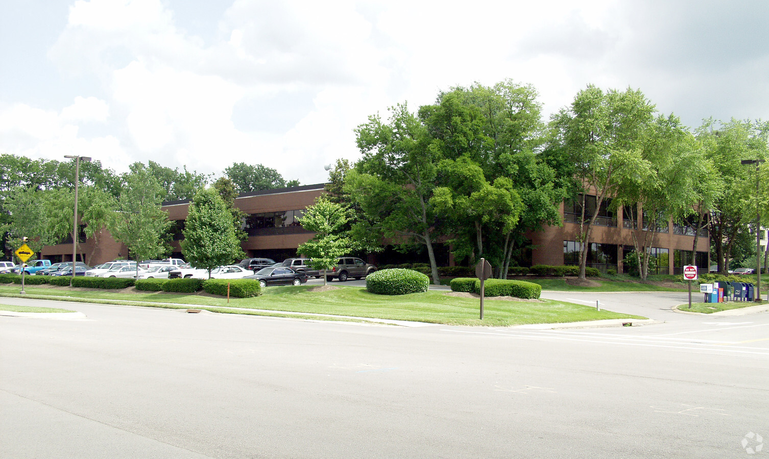
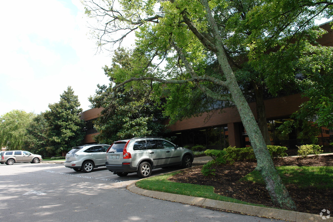
Property Record
5211 Maryland Way, Brentwood, TN 37027
NEARBY LISTINGS FOR SALE OR LEASE
Property Detail
5211 Maryland Way
Nashville-Davidson--Murfreesboro--Franklin, TN
Maryland Farms
011A-C-011.00
SUBD MARYLAND FARMS SEC 30 PB 22 PG 94 LOT 0039 SUBD REV
Municipalproperty
Williamson
X
Tennessee
47037C0366H
0039
0
4.27 AC
2024
Brentwood
050304
Nashville
DEMOGRAPHICS near 5211 Maryland Way
1 Mile
3 Mile
5 Mile
2024 Total Population
1,792
25,384
95,748
2029 Population
1,997
26,983
98,864
Pop Growth 2024-2029
+ 11.44%
+ 6.30%
+ 3.25%
Average Age
44
44
41
2024 Total Households
705
9,847
37,054
HH Growth 2024-2029
+ 12.06%
+ 5.51%
+ 2.52%
Median Household Inc
$146,295
$163,750
$119,120
Avg Household Size
2.40
2.50
2.50
2024 Avg HH Vehicles
2.00
2.00
2.00
Median Home Value
$882,407
$762,861
$676,909
Median Year Built
1993
1988
1985
Nearby Places
- Restaurants
- Banks
- Shops
- Fitness
- Groceries
PUBLIC TRANSPORTATION
AIRPORT
Nashville International
DRIVE
WALK
Distance
Nashville International
21 min
12.1 mi
Freight Ports
Port of Mobile
DRIVE
WALK
Distance
Port of Mobile
476 min
437.6 mi
SALE & LEASE HISTORY
LISTING DATE
SALE/LEASE

Sep 25, 2016
For Lease
Nearby Properties
Address
Land Use
TOTAL SIZE
Lot Size
Zoning
Address
Land Use
TOTAL SIZE
Lot Size
Zoning
372,372 SF
21.24 AC
Address
Land Use
TOTAL SIZE
Lot Size
Zoning
203,042 SF
3.70 AC
MUL
Address
Land Use
TOTAL SIZE
Lot Size
Zoning
742,974 SF
48.30 AC
Address
Land Use
TOTAL SIZE
Lot Size
Zoning
328,390 SF
52.98 AC
OL
Address
Land Use
TOTAL SIZE
Lot Size
Zoning
353,488 SF
45.17 AC
Address
Land Use
TOTAL SIZE
Lot Size
Zoning
623,390 SF
17.20 AC
Address
Land Use
TOTAL SIZE
Lot Size
Zoning
311,686 SF
28.40 AC
Address
Land Use
TOTAL SIZE
Lot Size
Zoning
99,550 SF
14.50 AC
OL
Address
Land Use
TOTAL SIZE
Lot Size
Zoning
136,527 SF
12 AC
OR40
Address
Land Use
TOTAL SIZE
Lot Size
Zoning
87,641 SF
9.93 AC
8ZZ
Address
Land Use
TOTAL SIZE
Lot Size
Zoning
22,320 SF
14.36 AC
RM15
Address
Land Use
TOTAL SIZE
Lot Size
Zoning
115,082 SF
13.76 AC
Address
Land Use
TOTAL SIZE
Lot Size
Zoning
200,108 SF
7.34 AC
Address
Land Use
TOTAL SIZE
Lot Size
Zoning
203,042 SF
3.65 AC
MUL
Address
Land Use
TOTAL SIZE
Lot Size
Zoning
174,918 SF
7.04 AC
OR40
Address
Land Use
TOTAL SIZE
Lot Size
Zoning
138,728 SF
3.53 AC
Address
Land Use
TOTAL SIZE
Lot Size
Zoning
94,068 SF
2.69 AC
Address
Land Use
TOTAL SIZE
Lot Size
Zoning
49,779 SF
9.92 AC
5ZZ
Address
Land Use
TOTAL SIZE
Lot Size
Zoning
158,559 SF
Address
Land Use
TOTAL SIZE
Lot Size
Zoning
51,348 SF
17.11 AC
R40
Address
Land Use
TOTAL SIZE
Lot Size
Zoning
200,779 SF
12 AC
Address
Land Use
TOTAL SIZE
Lot Size
Zoning
3 SF
5.58 AC
Address
Land Use
TOTAL SIZE
Lot Size
Zoning
112,500 SF
0.60 AC
Address
Land Use
TOTAL SIZE
Lot Size
Zoning
113,980 SF
9.14 AC
Address
Land Use
TOTAL SIZE
Lot Size
Zoning
100,185 SF
5.03 AC
Address
Land Use
TOTAL SIZE
Lot Size
Zoning
100,185 SF
5.02 AC
Address
Land Use
TOTAL SIZE
Lot Size
Zoning
110,600 SF
8.08 AC
Address
Land Use
TOTAL SIZE
Lot Size
Zoning
129,907 SF
4.28 AC
CL
Address
Land Use
TOTAL SIZE
Lot Size
Zoning
129,536 SF
6.88 AC
Address
Land Use
TOTAL SIZE
Lot Size
Zoning
102,005 SF
10.55 AC
The World's #1 Commercial Real Estate Marketplace
Connect with us
© 2025 CoStar Group
The information above has been obtained from sources believed reliable. While we do not doubt its accuracy we have not verified it and make no guarantee, warranty or representation about it. It is your responsibility to independently confirm its accuracy and completeness. Any projections, opinions, assumptions, or estimates used are for example only and do not represent the current or future performance of the property. The value of this transaction to you depends on tax and other factors which should be evaluated by your tax, financial, and legal advisors. You and your advisors should conduct a careful, independent investigation of the property to determine to your satisfaction the suitability of the property for your needs.