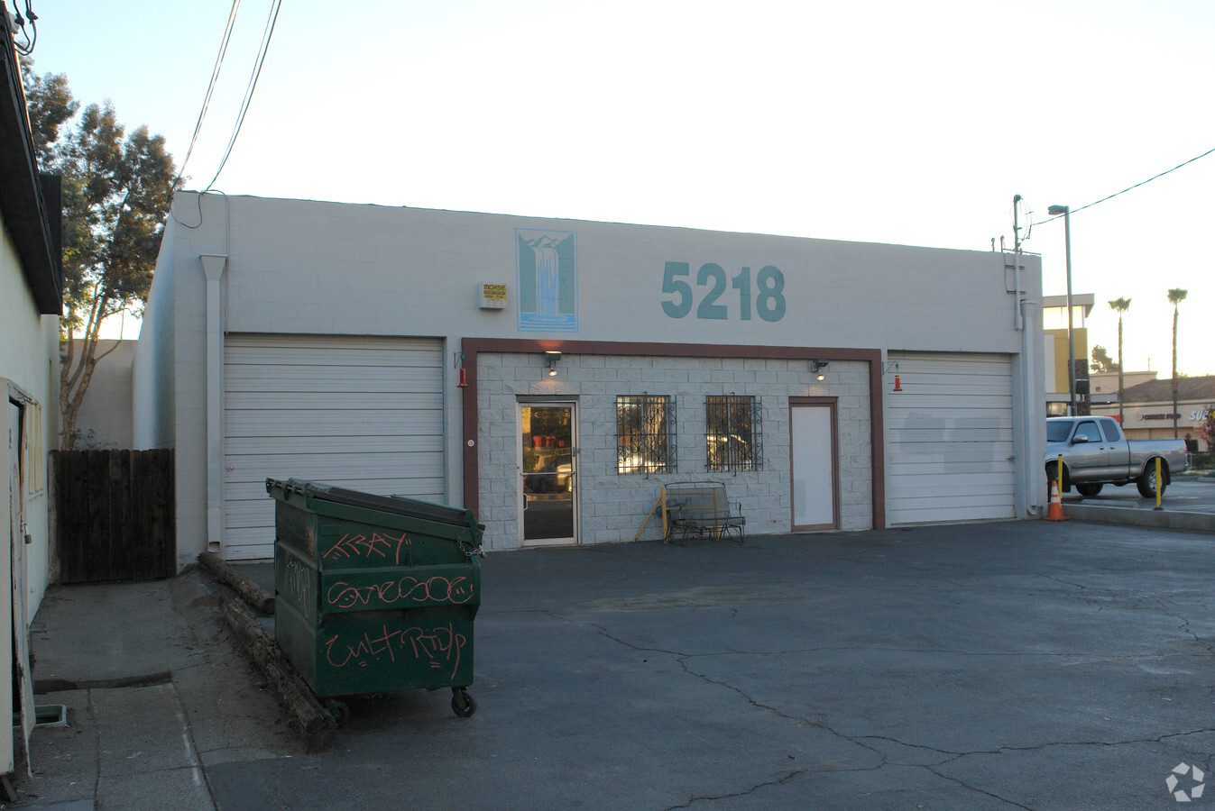
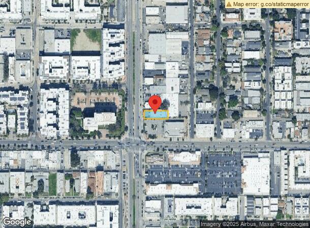
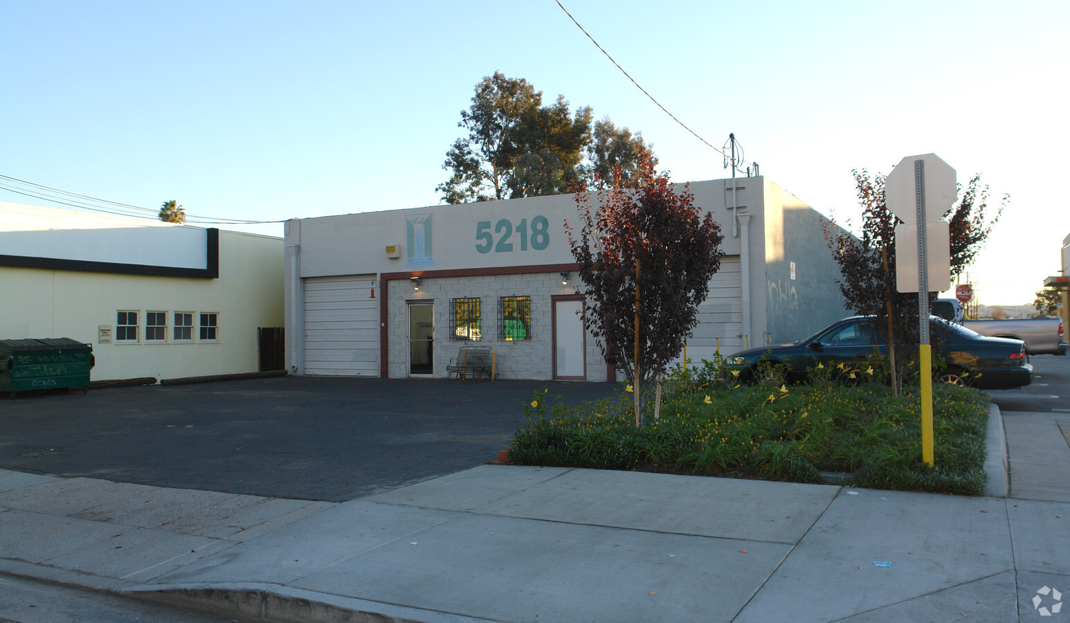
Property Record
5218 Vineland Ave, North Hollywood, CA 91601
NEARBY LISTINGS FOR SALE OR LEASE
Property Detail
5218 Vineland Ave
Los Angeles-Long Beach-Glendale, CA
Craner Tr
2416-004-006
CRANER TRACT LOT/SEC 7 BLK/DIV/TWN 1
Lightindustrial
Los Angeles
X
California
06037C1340F
7
2024
0.17 AC
2024
East San Ferndo Vlly
125322
Los Angeles
5,000 SF
DEMOGRAPHICS near 5218 Vineland Ave
1 Mile
3 Mile
5 Mile
2024 Total Population
45,167
242,528
575,763
2029 Population
44,332
235,951
560,186
Pop Growth 2024-2029
(1.85%)
(2.71%)
(2.71%)
Average Age
38
40
40
2024 Total Households
21,236
101,917
236,273
HH Growth 2024-2029
(1.93%)
(2.88%)
(2.85%)
Median Household Inc
$66,025
$80,246
$77,462
Avg Household Size
2.10
2.30
2.40
2024 Avg HH Vehicles
1.00
2.00
2.00
Median Home Value
$833,399
$928,814
$926,159
Median Year Built
1977
1966
1965
Nearby Places
- Restaurants
- Banks
- Shops
- Fitness
- Groceries
PUBLIC TRANSPORTATION
TRANSIT/SUBWAY
North Hollywood Station (Orange Line - Los Angeles County Metropolitan Transportation Authority (Metro), Red Line - Los Angeles County Metropolitan Transportation Authority (Metro))
DRIVE
WALK
Distance
North Hollywood Station (Orange Line - Los Angeles County Metropolitan Transportation Authority (Metro), Red Line - Los Angeles County Metropolitan Transportation Authority (Metro))
1 min
11 min
0.6 mi
COMMUTER RAIL
Burbank-Bob Hope Airport (Ventura County Line - Southern California Regional Rail Authority (Metrolink))
DRIVE
WALK
Distance
Burbank-Bob Hope Airport (Ventura County Line - Southern California Regional Rail Authority (Metrolink))
6 min
3.1 mi
Burbank Airport - North (Av Line) Metrolink Station (Metrolink Antelope Valley Line - Metrolink Trains)
DRIVE
WALK
Distance
Burbank Airport - North (Av Line) Metrolink Station (Metrolink Antelope Valley Line - Metrolink Trains)
7 min
4.0 mi
AIRPORT
Bob Hope
DRIVE
WALK
Distance
Bob Hope
6 min
3.2 mi
Los Angeles International
DRIVE
WALK
Distance
Los Angeles International
34 min
24.3 mi
Long Beach (Daugherty Field)
DRIVE
WALK
Distance
Long Beach (Daugherty Field)
47 min
34.5 mi
Freight Ports
Port of Long Beach
DRIVE
WALK
Distance
Port of Long Beach
50 min
37.8 mi
SALE & LEASE HISTORY
LISTING DATE
SALE/LEASE

Aug 11, 2020
For Lease
Nearby Properties
Address
Land Use
TOTAL SIZE
Lot Size
Zoning
Address
Land Use
TOTAL SIZE
Lot Size
Zoning
152,217 SF
70.95 AC
BUM1*
Address
Land Use
TOTAL SIZE
Lot Size
Zoning
735,900 SF
34.87 AC
BUPD*
Address
Land Use
TOTAL SIZE
Lot Size
Zoning
65,532 SF
67.90 AC
LAM11/2*
Address
Land Use
TOTAL SIZE
Lot Size
Zoning
21,585 SF
61.40 AC
LAM11/2*
Address
Land Use
TOTAL SIZE
Lot Size
Zoning
1,314,760 SF
33.64 AC
LAM11/2*
Address
Land Use
TOTAL SIZE
Lot Size
Zoning
207,766 SF
42.81 AC
BUM1*
Address
Land Use
TOTAL SIZE
Lot Size
Zoning
1,426,324 SF
5.96 AC
LAC2
Address
Land Use
TOTAL SIZE
Lot Size
Zoning
12,827 SF
130.37 AC
LAM11/2*
Address
Land Use
TOTAL SIZE
Lot Size
Zoning
616,662 SF
19.66 AC
BUM1*
Address
Land Use
TOTAL SIZE
Lot Size
Zoning
986,983 SF
105.50 AC
LARE40
Address
Land Use
TOTAL SIZE
Lot Size
Zoning
397,477 SF
2.75 AC
BUR4
Address
Land Use
TOTAL SIZE
Lot Size
Zoning
518,067 SF
17.27 AC
LAC4
Address
Land Use
TOTAL SIZE
Lot Size
Zoning
690,600 SF
6.57 AC
LACM
Address
Land Use
TOTAL SIZE
Lot Size
Zoning
475,433 SF
19.35 AC
BUM1*
Address
Land Use
TOTAL SIZE
Lot Size
Zoning
489,466 SF
2.90 AC
BUM1
Address
Land Use
TOTAL SIZE
Lot Size
Zoning
696,128 SF
2.42 AC
BUC3*
Address
Land Use
TOTAL SIZE
Lot Size
Zoning
43,558 SF
30.11 AC
BUMI-C2*
Address
Land Use
TOTAL SIZE
Lot Size
Zoning
1,328,547 SF
39.36 AC
BUPD
Address
Land Use
TOTAL SIZE
Lot Size
Zoning
529,249 SF
5.42 AC
LAC4
Address
Land Use
TOTAL SIZE
Lot Size
Zoning
432,232 SF
7.17 AC
BUM2
Address
Land Use
TOTAL SIZE
Lot Size
Zoning
219,607 SF
1.50 AC
BUR4
Address
Land Use
TOTAL SIZE
Lot Size
Zoning
380,017 SF
Address
Land Use
TOTAL SIZE
Lot Size
Zoning
354,068 SF
2.72 AC
LAR4
Address
Land Use
TOTAL SIZE
Lot Size
Zoning
80,158 SF
37.04 AC
LAM2
Address
Land Use
TOTAL SIZE
Lot Size
Zoning
336,041 SF
2.05 AC
LAC4
Address
Land Use
TOTAL SIZE
Lot Size
Zoning
440,774 SF
2.20 AC
BUR4*
Address
Land Use
TOTAL SIZE
Lot Size
Zoning
462,896 SF
1.38 AC
BUR4*
Address
Land Use
TOTAL SIZE
Lot Size
Zoning
362,863 SF
1.82 AC
BUMZ
Address
Land Use
TOTAL SIZE
Lot Size
Zoning
346,186 SF
11.72 AC
BUM2*
Address
Land Use
TOTAL SIZE
Lot Size
Zoning
380,276 SF
7.18 AC
LAR4
The World's #1 Commercial Real Estate Marketplace
Connect with us
© 2025 CoStar Group
The information above has been obtained from sources believed reliable. While we do not doubt its accuracy we have not verified it and make no guarantee, warranty or representation about it. It is your responsibility to independently confirm its accuracy and completeness. Any projections, opinions, assumptions, or estimates used are for example only and do not represent the current or future performance of the property. The value of this transaction to you depends on tax and other factors which should be evaluated by your tax, financial, and legal advisors. You and your advisors should conduct a careful, independent investigation of the property to determine to your satisfaction the suitability of the property for your needs.