Property Record
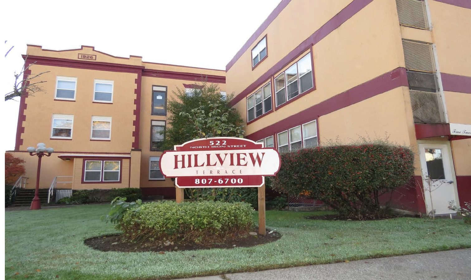
522 N Iron St, Centralia, WA 98531
NEARBY LISTINGS FOR SALE OR LEASE
-
-
View all Centralia listings for sale on LoopNet.com
Property Detail
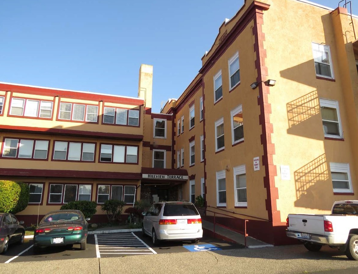
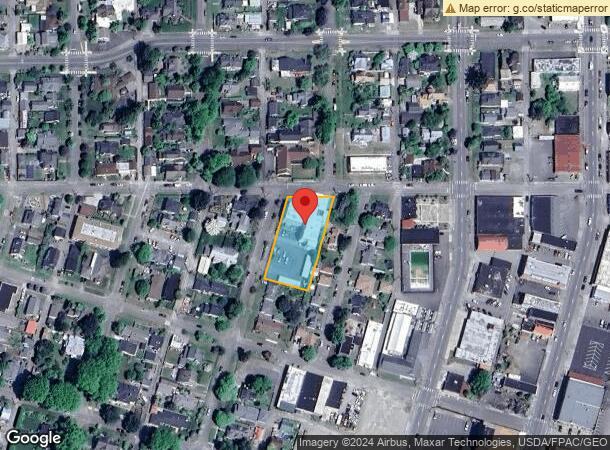
522 N Iron St
Centralia, WA
Hillcrest Add
003459-001-000
SECTION 05 TOWNSHIP 14N RANGE 02W PT J COCHRAN D.L.C. BETWEEN HILLCREST ADDITION & IRON ST; EX SLY 150 & ALLEY E SIDE
Multifamilydwelling
Lewis
2024
Washington
2024
0.68 AC
970500
Washington State Area
7,396 SF
Other Market Areas
DEMOGRAPHICS near 522 N Iron St
1 Mile
3 Mile
5 Mile
2024 Total Population
10,611
26,587
36,308
2029 Population
11,934
29,825
40,606
Pop Growth 2024-2029
+ 12.47%
+ 12.18%
+ 11.84%
Average Age
39
40
40
2024 Total Households
3,988
10,193
13,936
HH Growth 2024-2029
+ 12.59%
+ 12.28%
+ 11.97%
Median Household Inc
$49,890
$55,651
$59,842
Avg Household Size
2.60
2.50
2.50
2024 Avg HH Vehicles
2.00
2.00
2.00
Median Home Value
$272,168
$297,079
$304,973
Median Year Built
1959
1978
1976
Nearby Places
- Restaurants
- Banks
- Shops
- Fitness
- Groceries
PUBLIC TRANSPORTATION
COMMUTER RAIL
Centralia Amtrak Station (Amtrak Cascades - Amtrak, Coast Starlight - Amtrak)
Drive
Walk
Distance
Centralia Amtrak Station (Amtrak Cascades - Amtrak, Coast Starlight - Amtrak)
1 min
8 min
0.4 mi
Freight Ports
Port of Long View, WA
Drive
Walk
Distance
Port of Long View, WA
63 min
47.4 mi
Nearby Properties
Address
Land Use
TOTAL SIZE
Lot Size
Zoning
Address
Land Use
TOTAL SIZE
Lot Size
Zoning
1038447
77 AC
PMP
Address
Land Use
TOTAL SIZE
Lot Size
Zoning
2003
27.85 AC
LBD
Address
Land Use
TOTAL SIZE
Lot Size
Zoning
61618
11.91 AC
M1
Address
Land Use
TOTAL SIZE
Lot Size
Zoning
Address
Land Use
TOTAL SIZE
Lot Size
Zoning
1792
38.78 AC
OSPF
Address
Land Use
TOTAL SIZE
Lot Size
Zoning
14264
6.60 AC
R20
Address
Land Use
TOTAL SIZE
Lot Size
Zoning
2956
4.99 AC
R15
Address
Land Use
TOTAL SIZE
Lot Size
Zoning
64421
5 AC
H1
Address
Land Use
TOTAL SIZE
Lot Size
Zoning
7168
4.10 AC
OSPF
Address
Land Use
TOTAL SIZE
Lot Size
Zoning
57621
5.33 AC
H1
Address
Land Use
TOTAL SIZE
Lot Size
Zoning
1.03 AC
C1
Address
Land Use
TOTAL SIZE
Lot Size
Zoning
7200
4 AC
OSPF
Address
Land Use
TOTAL SIZE
Lot Size
Zoning
4420
3.91 AC
R20
Address
Land Use
TOTAL SIZE
Lot Size
Zoning
75993
18.76 AC
PMP
Address
Land Use
TOTAL SIZE
Lot Size
Zoning
34150
7.20 AC
CG
Address
Land Use
TOTAL SIZE
Lot Size
Zoning
Address
Land Use
TOTAL SIZE
Lot Size
Zoning
Address
Land Use
TOTAL SIZE
Lot Size
Zoning
3196
4.48 AC
R15
Address
Land Use
TOTAL SIZE
Lot Size
Zoning
48865
4.70 AC
H1
Address
Land Use
TOTAL SIZE
Lot Size
Zoning
Address
Land Use
TOTAL SIZE
Lot Size
Zoning
Address
Land Use
TOTAL SIZE
Lot Size
Zoning
Address
Land Use
TOTAL SIZE
Lot Size
Zoning
3536
1.73 AC
R20
Address
Land Use
TOTAL SIZE
Lot Size
Zoning
1512
8.64 AC
OSPF
Address
Land Use
TOTAL SIZE
Lot Size
Zoning
2408
2.08 AC
R20
Address
Land Use
TOTAL SIZE
Lot Size
Zoning
864
45.31 AC
OSPF
Address
Land Use
TOTAL SIZE
Lot Size
Zoning
34408
3.58 AC
C1
Address
Land Use
TOTAL SIZE
Lot Size
Zoning
2088
1.48 AC
R15
Address
Land Use
TOTAL SIZE
Lot Size
Zoning
4104
79.55 AC
M2
Address
Land Use
TOTAL SIZE
Lot Size
Zoning
34579
94.12 AC
OSPF
Start a new search to find other properties for sale or lease
Connect with us
© 2024 CoStar Group
The information above has been obtained from sources believed reliable. While we do not doubt its accuracy we have not verified it and make no guarantee, warranty or representation about it. It is your responsibility to independently confirm its accuracy and completeness. Any projections, opinions, assumptions, or estimates used are for example only and do not represent the current or future performance of the property. The value of this transaction to you depends on tax and other factors which should be evaluated by your tax, financial, and legal advisors. You and your advisors should conduct a careful, independent investigation of the property to determine to your satisfaction the suitability of the property for your needs.