Property Record
5221 Dunn Ave, Jacksonville, FL 32218
NEARBY LISTINGS FOR SALE OR LEASE
-
-
View all Jacksonville listings for sale on LoopNet.com
Property Detail
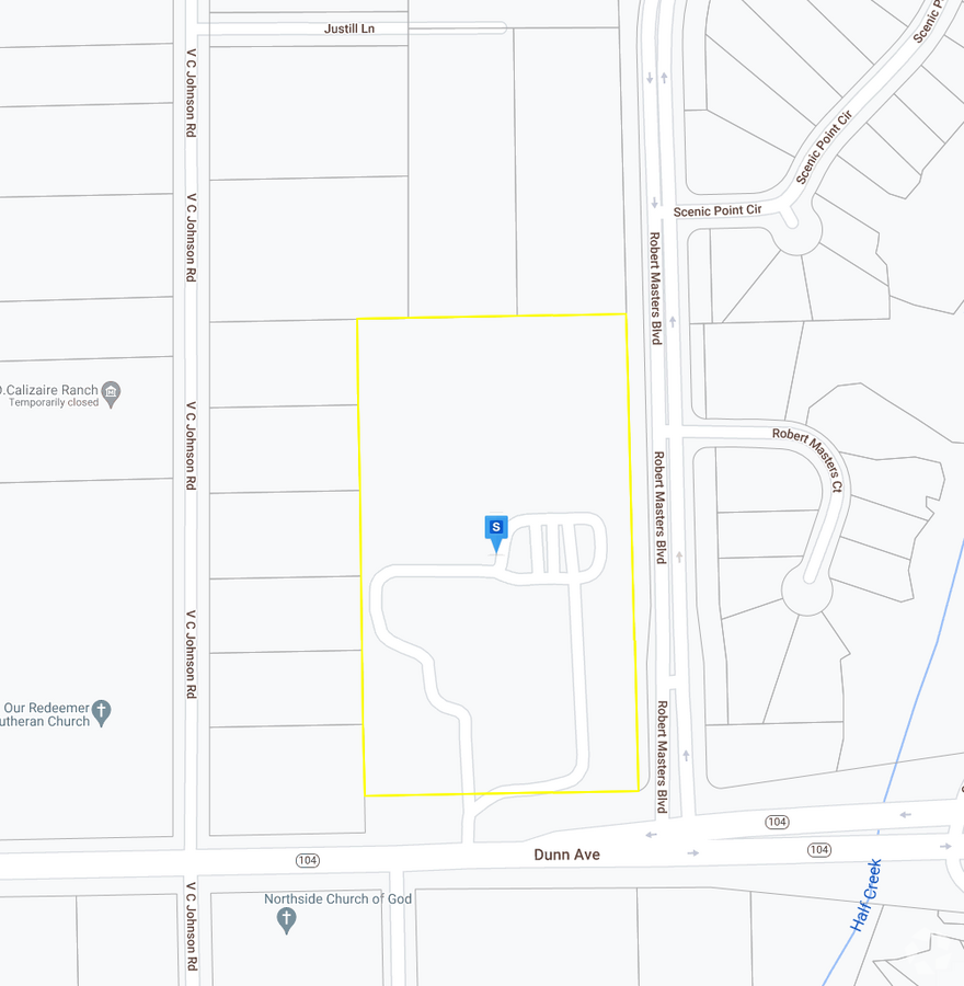
5221 Dunn Ave
Jacksonville, FL
Dinsmore Farms S/D Sec
004257-0005
06-1S-26E 9.35 DINSMORE FARMS SUBDIVISION PT FARMS 1,2 RECD O/R 20489-584
Recreationalentertainmentgeneral
Duval
X
Florida
12031C0178J
1,2
2023
9.18 AC
2024
Northwest Jacksonville
010501
Jacksonville (Florida)
792 SF
DEMOGRAPHICS near 5221 Dunn Ave
1 Mile
3 Mile
5 Mile
2024 Total Population
4,554
36,405
81,458
2029 Population
4,832
38,553
85,922
Pop Growth 2024-2029
+ 6.10%
+ 5.90%
+ 5.48%
Average Age
39
39
39
2024 Total Households
1,648
13,434
30,684
HH Growth 2024-2029
+ 6.19%
+ 6.00%
+ 5.59%
Median Household Inc
$78,505
$56,336
$49,916
Avg Household Size
2.70
2.60
2.60
2024 Avg HH Vehicles
2.00
2.00
2.00
Median Home Value
$204,088
$187,728
$167,365
Median Year Built
1996
1991
1977
Nearby Places
- Restaurants
- Banks
- Shops
- Fitness
- Groceries
PUBLIC TRANSPORTATION
COMMUTER RAIL
Jacksonville (Silver Meteor - Amtrak, Silver Star - Amtrak)
DRIVE
WALK
Distance
Jacksonville (Silver Meteor - Amtrak, Silver Star - Amtrak)
12 min
6.7 mi
AIRPORT
Jacksonville International
DRIVE
WALK
Distance
Jacksonville International
16 min
8.1 mi
Freight Ports
Jacksonville Port
DRIVE
WALK
Distance
Jacksonville Port
22 min
11.5 mi
Nearby Properties
Address
Land Use
TOTAL SIZE
Lot Size
Zoning
Address
Land Use
TOTAL SIZE
Lot Size
Zoning
658,743 SF
36.71 AC
PUD
Address
Land Use
TOTAL SIZE
Lot Size
Zoning
647,378 SF
27.72 AC
IBP
Address
Land Use
TOTAL SIZE
Lot Size
Zoning
556,924 SF
29.11 AC
PUD
Address
Land Use
TOTAL SIZE
Lot Size
Zoning
491,247 SF
30.77 AC
PUD
Address
Land Use
TOTAL SIZE
Lot Size
Zoning
284,023 SF
25.30 AC
RMD-C
Address
Land Use
TOTAL SIZE
Lot Size
Zoning
395,655 SF
21.86 AC
PUD
Address
Land Use
TOTAL SIZE
Lot Size
Zoning
375,130 SF
25.22 AC
IBP
Address
Land Use
TOTAL SIZE
Lot Size
Zoning
214,742 SF
20.13 AC
PUD
Address
Land Use
TOTAL SIZE
Lot Size
Zoning
744.81 AC
PUD
Address
Land Use
TOTAL SIZE
Lot Size
Zoning
1,265.67 AC
PUD
Address
Land Use
TOTAL SIZE
Lot Size
Zoning
254,693 SF
40.76 AC
RMD-D
Address
Land Use
TOTAL SIZE
Lot Size
Zoning
225,829 SF
140.47 AC
PBF-1
Address
Land Use
TOTAL SIZE
Lot Size
Zoning
171,572 SF
10.47 AC
PUD
Address
Land Use
TOTAL SIZE
Lot Size
Zoning
39,251 SF
55.24 AC
PUD
Address
Land Use
TOTAL SIZE
Lot Size
Zoning
240,692 SF
30.32 AC
CCG-1
Address
Land Use
TOTAL SIZE
Lot Size
Zoning
95,080 SF
9.35 AC
CRO
Address
Land Use
TOTAL SIZE
Lot Size
Zoning
238,052 SF
30.81 AC
RHD-A
Address
Land Use
TOTAL SIZE
Lot Size
Zoning
79,407 SF
15.21 AC
PUD
Address
Land Use
TOTAL SIZE
Lot Size
Zoning
1,950 SF
72.15 AC
IBP
Address
Land Use
TOTAL SIZE
Lot Size
Zoning
80,905 SF
14.86 AC
PUD
Address
Land Use
TOTAL SIZE
Lot Size
Zoning
49,120 SF
89.32 AC
CCG-2
Address
Land Use
TOTAL SIZE
Lot Size
Zoning
9,238 SF
48.53 AC
ROS
Address
Land Use
TOTAL SIZE
Lot Size
Zoning
141,882 SF
39.93 AC
PBF-1
Address
Land Use
TOTAL SIZE
Lot Size
Zoning
134,409 SF
17.67 AC
PUD
Address
Land Use
TOTAL SIZE
Lot Size
Zoning
46.49 AC
PUD
Address
Land Use
TOTAL SIZE
Lot Size
Zoning
66,255 SF
40.55 AC
RR-ACRE
Address
Land Use
TOTAL SIZE
Lot Size
Zoning
67,409 SF
12.53 AC
PUD
Address
Land Use
TOTAL SIZE
Lot Size
Zoning
13,214 SF
1.52 AC
PUD
Address
Land Use
TOTAL SIZE
Lot Size
Zoning
58,475 SF
5.33 AC
PUD
Address
Land Use
TOTAL SIZE
Lot Size
Zoning
41.66 AC
PUD
The World's #1 Commercial Real Estate Marketplace
Connect with us
© 2025 CoStar Group
The information above has been obtained from sources believed reliable. While we do not doubt its accuracy we have not verified it and make no guarantee, warranty or representation about it. It is your responsibility to independently confirm its accuracy and completeness. Any projections, opinions, assumptions, or estimates used are for example only and do not represent the current or future performance of the property. The value of this transaction to you depends on tax and other factors which should be evaluated by your tax, financial, and legal advisors. You and your advisors should conduct a careful, independent investigation of the property to determine to your satisfaction the suitability of the property for your needs.