Property Record
102 Lavender Rd, Athens, GA 30606

NEARBY LISTINGS FOR SALE OR LEASE
Property Detail
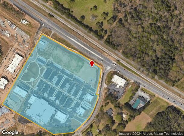
102 Lavender Rd
062-025
Northwest
Commercialnec
TRACT 1 - 15.529 AC - PB J/172
X
Clarke
13059C0014E
Georgia
2023
15.53 AC
2023
Westside Athens
130400
Other Market Areas
46,031 SF
Athens-Clarke County, GA
DEMOGRAPHICS near 102 Lavender Rd
1 Mile
3 Mile
5 Mile
2024 Total Population
4,847
22,962
81,335
2029 Population
4,852
23,279
82,630
Pop Growth 2024-2029
+ 0.10%
+ 1.38%
+ 1.59%
Average Age
38
38
35
2024 Total Households
1,809
8,991
31,321
HH Growth 2024-2029
+ 0.22%
+ 1.38%
+ 1.45%
Median Household Inc
$68,659
$61,677
$51,103
Avg Household Size
2.60
2.40
2.20
2024 Avg HH Vehicles
2.00
2.00
2.00
Median Home Value
$232,701
$249,176
$277,118
Median Year Built
1986
1981
1986
Nearby Places
- Restaurants
- Banks
- Shops
- Fitness
- Groceries
Nearby Properties
Address
Land Use
TOTAL SIZE
Lot Size
Zoning
Address
Land Use
TOTAL SIZE
Lot Size
Zoning
56.15 AC
G
Address
Land Use
TOTAL SIZE
Lot Size
Zoning
85,608 SF
63.75 AC
RM-2
Address
Land Use
TOTAL SIZE
Lot Size
Zoning
115,416 SF
8 AC
E-I
Address
Land Use
TOTAL SIZE
Lot Size
Zoning
49.58 AC
G
Address
Land Use
TOTAL SIZE
Lot Size
Zoning
26.86 AC
G
Address
Land Use
TOTAL SIZE
Lot Size
Zoning
3,223 SF
17.81 AC
RS-5
Address
Land Use
TOTAL SIZE
Lot Size
Zoning
19.21 AC
G
Address
Land Use
TOTAL SIZE
Lot Size
Zoning
4,148 SF
7.04 AC
RM-1
Address
Land Use
TOTAL SIZE
Lot Size
Zoning
39.94 AC
C-O
Address
Land Use
TOTAL SIZE
Lot Size
Zoning
106,760 SF
10.38 AC
I
Address
Land Use
TOTAL SIZE
Lot Size
Zoning
31,067 SF
5.05 AC
C-O
Address
Land Use
TOTAL SIZE
Lot Size
Zoning
1,378 SF
21.13 AC
RM-1
Address
Land Use
TOTAL SIZE
Lot Size
Zoning
9,021 SF
20.76 AC
C-G
Address
Land Use
TOTAL SIZE
Lot Size
Zoning
121,382 SF
16.01 AC
C-G
Address
Land Use
TOTAL SIZE
Lot Size
Zoning
664,513 SF
84.46 AC
I
Address
Land Use
TOTAL SIZE
Lot Size
Zoning
1.78 AC
G
Address
Land Use
TOTAL SIZE
Lot Size
Zoning
36,878 SF
1.48 AC
C-N
Address
Land Use
TOTAL SIZE
Lot Size
Zoning
Address
Land Use
TOTAL SIZE
Lot Size
Zoning
42,548 SF
5.34 AC
C-O
Address
Land Use
TOTAL SIZE
Lot Size
Zoning
23.30 AC
P
Address
Land Use
TOTAL SIZE
Lot Size
Zoning
50,901 SF
16.84 AC
G
Address
Land Use
TOTAL SIZE
Lot Size
Zoning
47,201 SF
10.56 AC
I
Address
Land Use
TOTAL SIZE
Lot Size
Zoning
129,424 SF
109.82 AC
I
Address
Land Use
TOTAL SIZE
Lot Size
Zoning
15,145 SF
3.28 AC
C-N
Address
Land Use
TOTAL SIZE
Lot Size
Zoning
24,210 SF
0.39 AC
E-I
Address
Land Use
TOTAL SIZE
Lot Size
Zoning
24,500 SF
34.72 AC
AR
Address
Land Use
TOTAL SIZE
Lot Size
Zoning
36,031 SF
0.83 AC
RM-2, I (P
Address
Land Use
TOTAL SIZE
Lot Size
Zoning
63,207 SF
5.60 AC
C-N
Address
Land Use
TOTAL SIZE
Lot Size
Zoning
18,120 SF
0.11 AC
C-O
Start a new search to find other properties for sale or lease
Connect with us
© 2024 CoStar Group
The information above has been obtained from sources believed reliable. While we do not doubt its accuracy we have not verified it and make no guarantee, warranty or representation about it. It is your responsibility to independently confirm its accuracy and completeness. Any projections, opinions, assumptions, or estimates used are for example only and do not represent the current or future performance of the property. The value of this transaction to you depends on tax and other factors which should be evaluated by your tax, financial, and legal advisors. You and your advisors should conduct a careful, independent investigation of the property to determine to your satisfaction the suitability of the property for your needs.