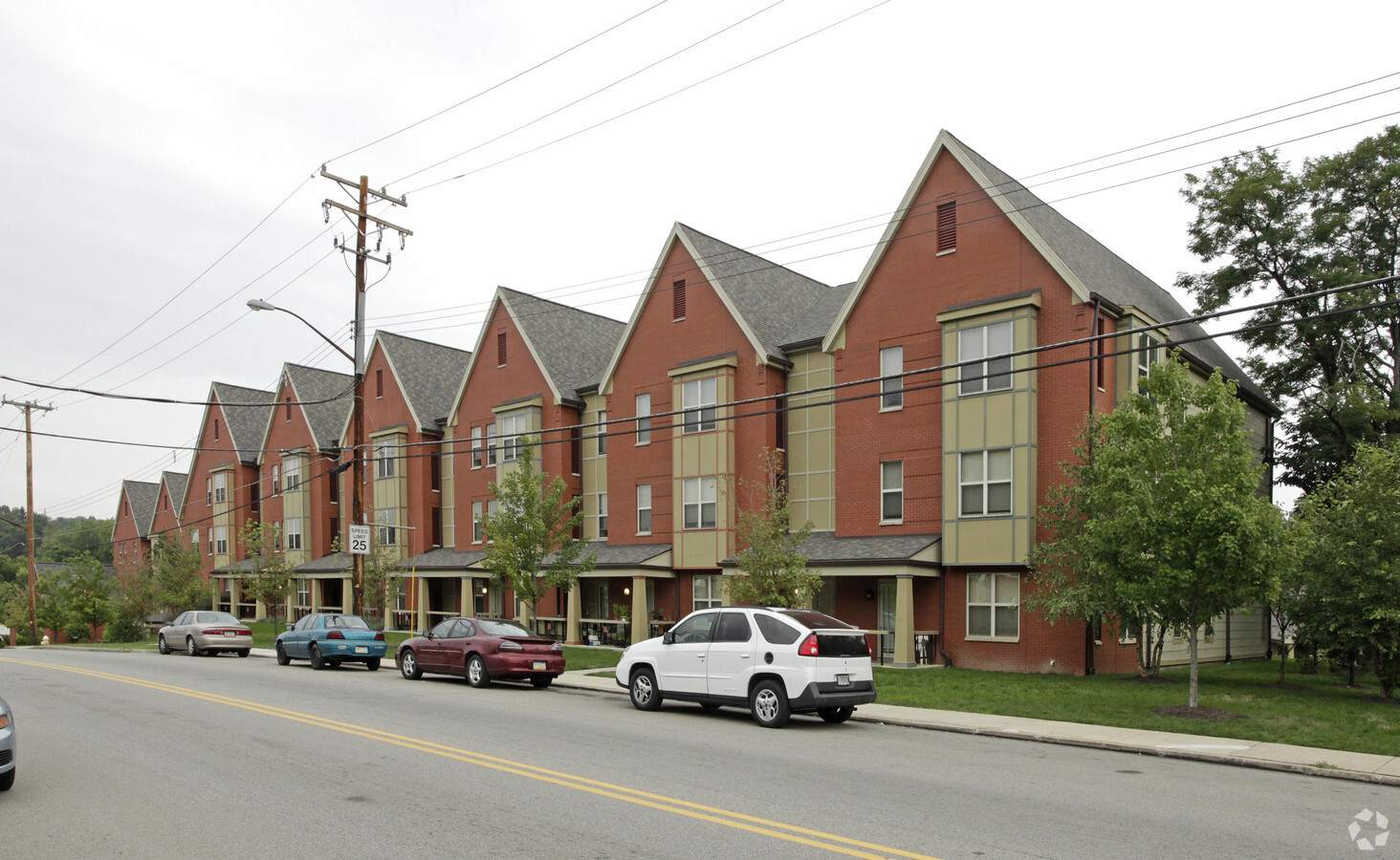
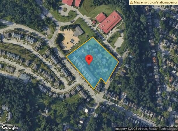
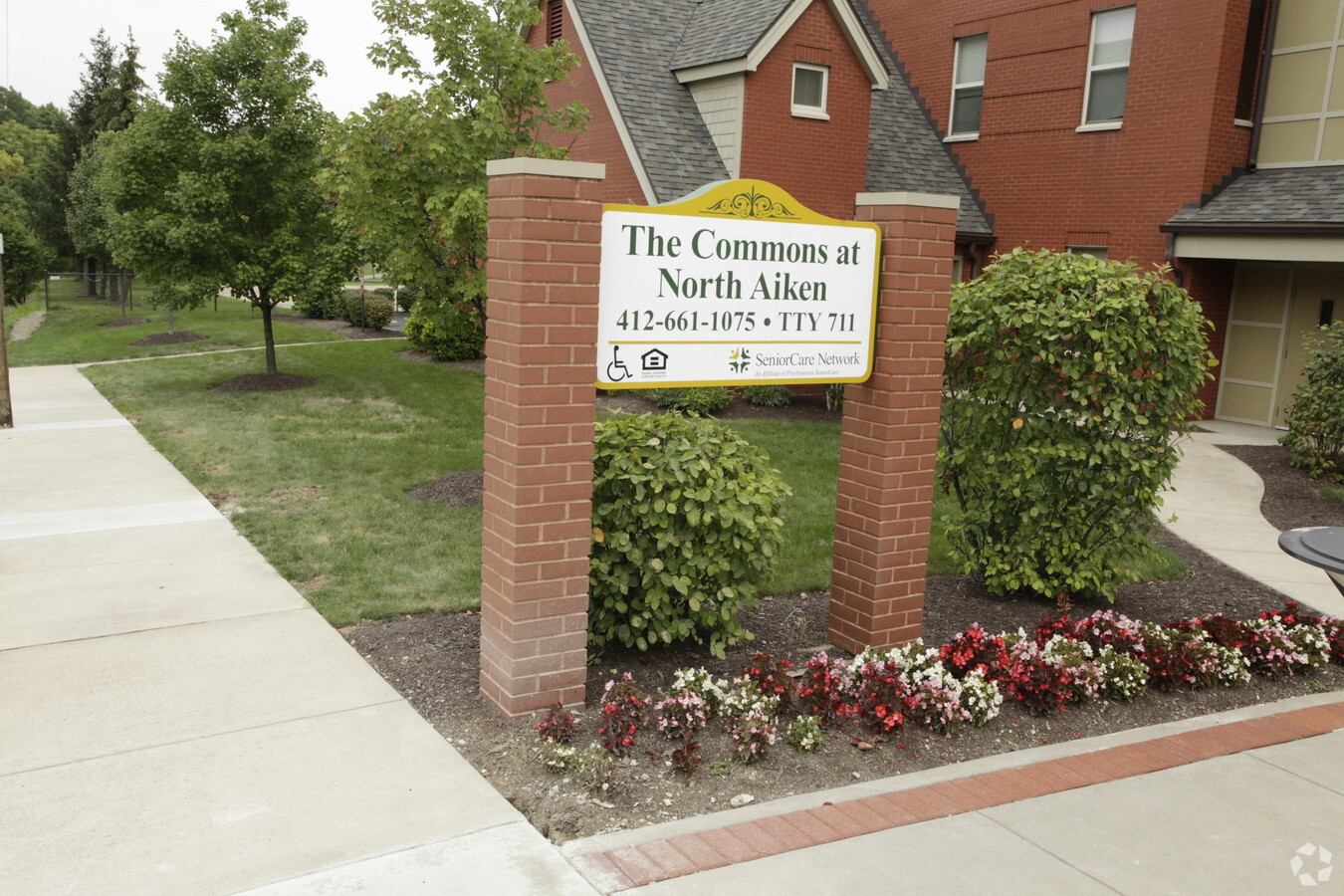
Property Record
5330 N Aiken Ct, Pittsburgh, PA 15224
NEARBY LISTINGS FOR SALE OR LEASE
Property Detail
5330 N Aiken Ct
Pittsburgh, PA
Stanton Heights Manor 2Nd
0050-D-00300-0000-00
STANTON HEIGHTS MANOR 2ND REV PLAN #2 IRREG LOT = 429.685X351.20X366.12 (3.57 ALD) MOSSFIELD ST
Hospitalprivate
Allegheny
X
Pennsylvania
42003C0356H
300
2023
6.56 AC
2024
Stanton Heights
100500
Pittsburgh
DEMOGRAPHICS near 5330 N Aiken Ct
1 Mile
3 Mile
5 Mile
2024 Total Population
27,962
161,825
324,952
2029 Population
27,499
159,969
321,698
Pop Growth 2024-2029
(1.66%)
(1.15%)
(1.00%)
Average Age
39
38
39
2024 Total Households
14,219
74,368
151,513
HH Growth 2024-2029
(1.77%)
(1.32%)
(1.05%)
Median Household Inc
$61,406
$57,313
$58,437
Avg Household Size
1.90
1.90
2.00
2024 Avg HH Vehicles
1.00
1.00
1.00
Median Home Value
$271,745
$263,548
$216,349
Median Year Built
1948
1948
1949
Nearby Places
- Restaurants
- Banks
- Shops
- Fitness
- Groceries
PUBLIC TRANSPORTATION
COMMUTER RAIL
Pittsburgh Amtrak Station (Capitol Limited - Amtrak, Pennsylvanian - Amtrak)
DRIVE
WALK
Distance
Pittsburgh Amtrak Station (Capitol Limited - Amtrak, Pennsylvanian - Amtrak)
11 min
4.1 mi
AIRPORT
Pittsburgh International
DRIVE
WALK
Distance
Pittsburgh International
36 min
22.5 mi
Freight Ports
Port of Baltimore
DRIVE
WALK
Distance
Port of Baltimore
293 min
246.4 mi
Nearby Properties
Address
Land Use
TOTAL SIZE
Lot Size
Zoning
Address
Land Use
TOTAL SIZE
Lot Size
Zoning
Address
Land Use
TOTAL SIZE
Lot Size
Zoning
6.99 AC
Address
Land Use
TOTAL SIZE
Lot Size
Zoning
13.53 AC
Address
Land Use
TOTAL SIZE
Lot Size
Zoning
31.36 AC
Address
Land Use
TOTAL SIZE
Lot Size
Zoning
5.12 AC
Address
Land Use
TOTAL SIZE
Lot Size
Zoning
13.84 AC
Address
Land Use
TOTAL SIZE
Lot Size
Zoning
10.22 AC
Address
Land Use
TOTAL SIZE
Lot Size
Zoning
5.77 AC
Address
Land Use
TOTAL SIZE
Lot Size
Zoning
4.05 AC
Address
Land Use
TOTAL SIZE
Lot Size
Zoning
19.49 AC
Address
Land Use
TOTAL SIZE
Lot Size
Zoning
12.80 AC
Address
Land Use
TOTAL SIZE
Lot Size
Zoning
0.92 AC
Address
Land Use
TOTAL SIZE
Lot Size
Zoning
8.96 AC
Address
Land Use
TOTAL SIZE
Lot Size
Zoning
363.56 AC
Address
Land Use
TOTAL SIZE
Lot Size
Zoning
2.67 AC
Address
Land Use
TOTAL SIZE
Lot Size
Zoning
48.57 AC
Address
Land Use
TOTAL SIZE
Lot Size
Zoning
17.75 AC
Address
Land Use
TOTAL SIZE
Lot Size
Zoning
2.52 AC
Address
Land Use
TOTAL SIZE
Lot Size
Zoning
2.31 AC
Address
Land Use
TOTAL SIZE
Lot Size
Zoning
1.43 AC
Address
Land Use
TOTAL SIZE
Lot Size
Zoning
Address
Land Use
TOTAL SIZE
Lot Size
Zoning
7.89 AC
Address
Land Use
TOTAL SIZE
Lot Size
Zoning
160.62 AC
Address
Land Use
TOTAL SIZE
Lot Size
Zoning
4.10 AC
Address
Land Use
TOTAL SIZE
Lot Size
Zoning
3.13 AC
Address
Land Use
TOTAL SIZE
Lot Size
Zoning
1.36 AC
Address
Land Use
TOTAL SIZE
Lot Size
Zoning
1.19 AC
Address
Land Use
TOTAL SIZE
Lot Size
Zoning
5.90 AC
Address
Land Use
TOTAL SIZE
Lot Size
Zoning
1.22 AC
Address
Land Use
TOTAL SIZE
Lot Size
Zoning
1.54 AC
The World's #1 Commercial Real Estate Marketplace
Connect with us
© 2025 CoStar Group
The information above has been obtained from sources believed reliable. While we do not doubt its accuracy we have not verified it and make no guarantee, warranty or representation about it. It is your responsibility to independently confirm its accuracy and completeness. Any projections, opinions, assumptions, or estimates used are for example only and do not represent the current or future performance of the property. The value of this transaction to you depends on tax and other factors which should be evaluated by your tax, financial, and legal advisors. You and your advisors should conduct a careful, independent investigation of the property to determine to your satisfaction the suitability of the property for your needs.