Property Record
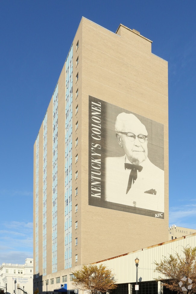
537 S 3Rd St, Louisville, KY 40202


NEARBY LISTINGS FOR SALE OR LEASE
Property Detail
537 S 3Rd St
016A00060000
Prestons Enlargement
Commercialnec
0.2566 AC+- NE CORNER GUTHRIE & THIRD STS 81 X 138 TO 12' ALLEY TRINITY TOWERS APTS
X
Jefferson
21111C0025F
Kentucky
2025
0.26 AC
2025
Fourth Street
004900
Louisville
144,882 SF
Louisville-Jefferson County, KY-IN
DEMOGRAPHICS near 537 S 3Rd St
1 Mile
3 Mile
5 Mile
2024 Total Population
16,949
117,780
260,070
2029 Population
17,240
118,808
262,119
Pop Growth 2024-2029
+ 1.72%
+ 0.87%
+ 0.79%
Average Age
40
38
39
2024 Total Households
8,275
54,305
115,345
HH Growth 2024-2029
+ 2.28%
+ 0.95%
+ 0.78%
Median Household Inc
$25,265
$38,772
$44,213
Avg Household Size
1.60
2.00
2.10
2024 Avg HH Vehicles
1.00
1.00
1.00
Median Home Value
$260,352
$162,910
$172,474
Median Year Built
1965
1948
1950
Nearby Places
Map Layers
Map Styles
 Street
 Aerial
- Restaurants
- Banks
- Shops
- Fitness
- Groceries
PUBLIC TRANSPORTATION
AIRPORT
Louisville Muhammad Ali International
DRIVE
WALK
Distance
Louisville Muhammad Ali International
14 min
6.9 mi
SALE & LEASE HISTORY
LISTING DATE
SALE/LEASE

Dec 13, 2016
For Lease
Nearby Properties
Address
Land Use
TOTAL SIZE
Lot Size
Zoning
Address
Land Use
TOTAL SIZE
Lot Size
Zoning
4.80 AC
M3-INDUSTR
Address
Land Use
TOTAL SIZE
Lot Size
Zoning
211,050 SF
Address
Land Use
TOTAL SIZE
Lot Size
Zoning
5.40 AC
Address
Land Use
TOTAL SIZE
Lot Size
Zoning
572,868 SF
1.57 AC
Address
Land Use
TOTAL SIZE
Lot Size
Zoning
826,303 SF
2.90 AC
C3-CENTRAL
Address
Land Use
TOTAL SIZE
Lot Size
Zoning
130,724 SF
2.17 AC
Address
Land Use
TOTAL SIZE
Lot Size
Zoning
106,330 SF
9.44 AC
M3-INDUSTR
Address
Land Use
TOTAL SIZE
Lot Size
Zoning
Address
Land Use
TOTAL SIZE
Lot Size
Zoning
17,916 SF
21.76 AC
EZ1-ENTERP
Address
Land Use
TOTAL SIZE
Lot Size
Zoning
4,337 SF
3.71 AC
(C2)COMMER
Address
Land Use
TOTAL SIZE
Lot Size
Zoning
0.56 AC
(C3)CENTRA
Address
Land Use
TOTAL SIZE
Lot Size
Zoning
1,584 SF
4.71 AC
R7-RESIDEN
Address
Land Use
TOTAL SIZE
Lot Size
Zoning
23.42 AC
(W
Address
Land Use
TOTAL SIZE
Lot Size
Zoning
20,449 SF
0.55 AC
C3-CENTRAL
Address
Land Use
TOTAL SIZE
Lot Size
Zoning
2.97 AC
C3-CENTRAL
Address
Land Use
TOTAL SIZE
Lot Size
Zoning
2.07 AC
Address
Land Use
TOTAL SIZE
Lot Size
Zoning
260,488 SF
8.07 AC
EZ1-ENTERP
Address
Land Use
TOTAL SIZE
Lot Size
Zoning
Address
Land Use
TOTAL SIZE
Lot Size
Zoning
21,767 SF
1.47 AC
EZ1-ENTERP
Address
Land Use
TOTAL SIZE
Lot Size
Zoning
549,563 SF
26.13 AC
OTF-OFFICE
Address
Land Use
TOTAL SIZE
Lot Size
Zoning
304,295 SF
0.60 AC
C3-CENTRAL
Address
Land Use
TOTAL SIZE
Lot Size
Zoning
50,946 SF
2.66 AC
(CM)COMMER
Address
Land Use
TOTAL SIZE
Lot Size
Zoning
34,067 SF
0.84 AC
C3-CENTRAL
Address
Land Use
TOTAL SIZE
Lot Size
Zoning
59,648 SF
1.66 AC
OR3-OFFICE
Address
Land Use
TOTAL SIZE
Lot Size
Zoning
699,568 SF
1.96 AC
(C3)CENTRA
Address
Land Use
TOTAL SIZE
Lot Size
Zoning
12.69 AC
Address
Land Use
TOTAL SIZE
Lot Size
Zoning
228,447 SF
7.70 AC
M2-INDUSTR
Address
Land Use
TOTAL SIZE
Lot Size
Zoning
58,935 SF
1.92 AC
TNZD-TRADI
Address
Land Use
TOTAL SIZE
Lot Size
Zoning
6.75 AC
M2-INDUSTR
Address
Land Use
TOTAL SIZE
Lot Size
Zoning
248,323 SF
1 AC
C3-CENTRAL
The World's #1 Commercial Real Estate Marketplace
Connect with us
© 2025 CoStar Group
The information above has been obtained from sources believed reliable. While we do not doubt its accuracy we have not verified it and make no guarantee, warranty or representation about it. It is your responsibility to independently confirm its accuracy and completeness. Any projections, opinions, assumptions, or estimates used are for example only and do not represent the current or future performance of the property. The value of this transaction to you depends on tax and other factors which should be evaluated by your tax, financial, and legal advisors. You and your advisors should conduct a careful, independent investigation of the property to determine to your satisfaction the suitability of the property for your needs.