Property Record
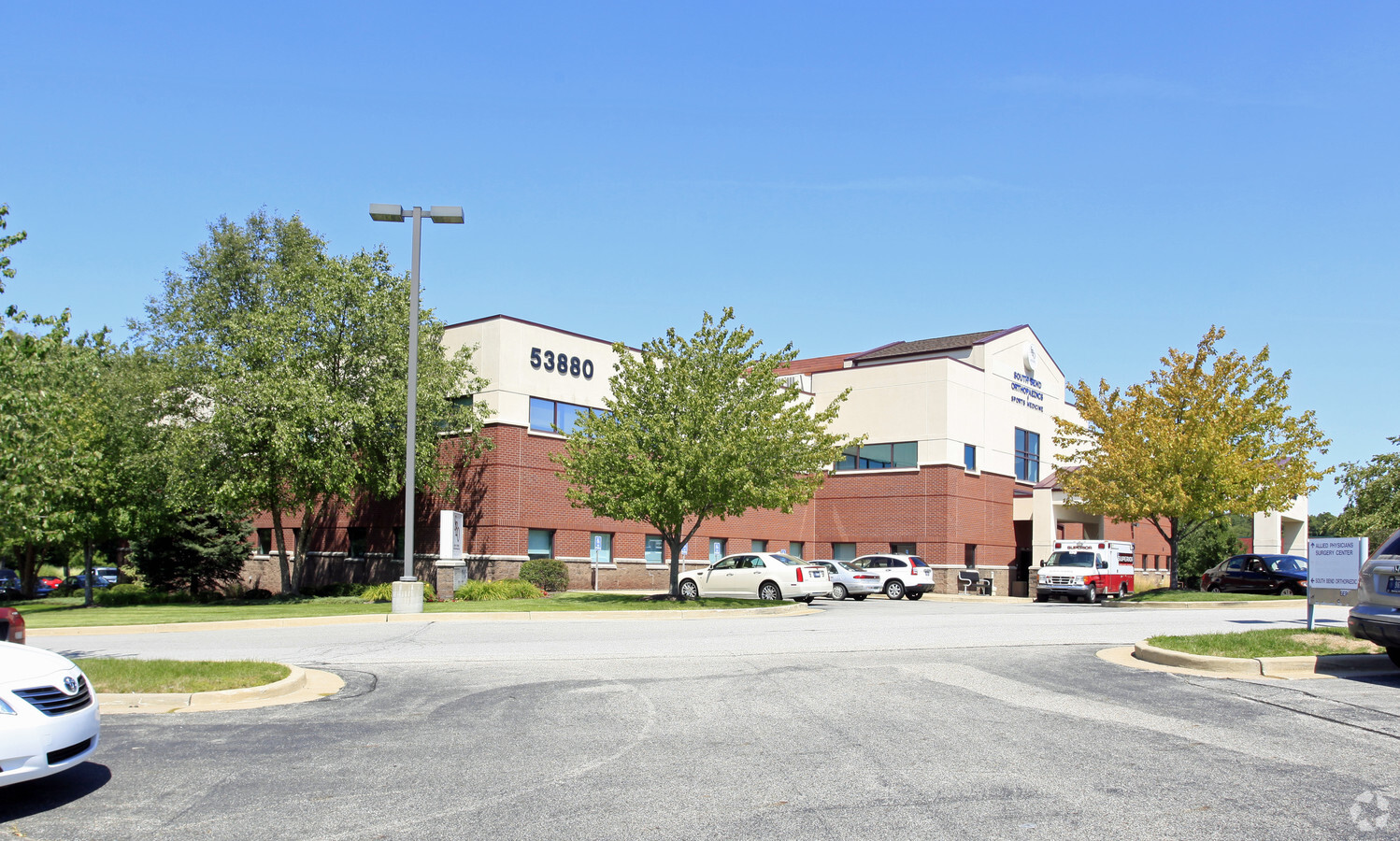
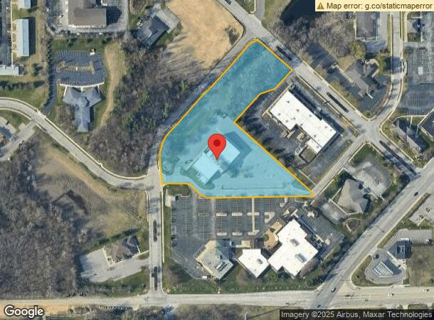
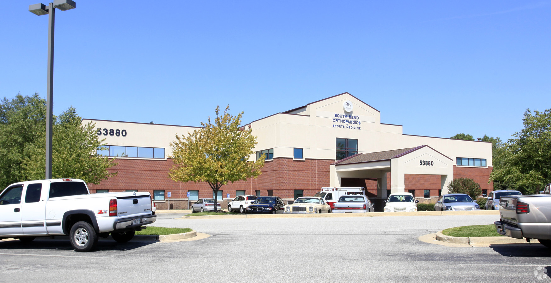
53880 Carmichael Dr, South Bend, IN 46635

NEARBY LISTINGS FOR SALE OR LEASE
Property Detail
53880 Carmichael Dr
South Bend-Mishawaka, IN-MI
Allied Physicians Properties Major
71-04-29-454-002.000-003
LOT 2 ALLIED PHYSICIANS PROPERTIES MAJOR 00-01 SET UP NEW REPLAT PER TRANS 9290 11-5-99
Medicalbuilding
St Joseph
X
Indiana
18141C0204D
2
2022
4.65 AC
2023
Outlying St Joseph County
011309
South Bend/Mishawaka
36,740 SF
DEMOGRAPHICS near 53880 Carmichael Dr
1 Mile
3 Mile
5 Mile
2024 Total Population
7,116
72,733
172,325
2029 Population
7,050
72,770
172,645
Pop Growth 2024-2029
(0.93%)
+ 0.05%
+ 0.19%
Average Age
41
38
38
2024 Total Households
3,262
29,298
67,770
HH Growth 2024-2029
(1.07%)
+ 0.16%
+ 0.19%
Median Household Inc
$53,253
$59,557
$55,850
Avg Household Size
2.10
2.10
2.30
2024 Avg HH Vehicles
1.00
2.00
2.00
Median Home Value
$156,453
$183,473
$156,473
Median Year Built
1973
1974
1965
Nearby Places
- Restaurants
- Banks
- Shops
- Fitness
- Groceries
PUBLIC TRANSPORTATION
COMMUTER RAIL
South Bend Amtrak Station (Capitol Limited - Amtrak, Lake Shore Limited - Amtrak)
DRIVE
WALK
Distance
South Bend Amtrak Station (Capitol Limited - Amtrak, Lake Shore Limited - Amtrak)
14 min
5.8 mi
South Bend Airport Station (South Shore Line - Northern Indiana Commuter Transportation District (South Shore Line))
DRIVE
WALK
Distance
South Bend Airport Station (South Shore Line - Northern Indiana Commuter Transportation District (South Shore Line))
16 min
7.4 mi
AIRPORT
South Bend International
DRIVE
WALK
Distance
South Bend International
25 min
9.7 mi
Freight Ports
Port Milwaukee
DRIVE
WALK
Distance
Port Milwaukee
220 min
180.7 mi
Nearby Properties
Address
Land Use
TOTAL SIZE
Lot Size
Zoning
Address
Land Use
TOTAL SIZE
Lot Size
Zoning
3,860,146 SF
436.76 AC
Address
Land Use
TOTAL SIZE
Lot Size
Zoning
24,392 SF
48.07 AC
Address
Land Use
TOTAL SIZE
Lot Size
Zoning
754,648 SF
11.46 AC
Address
Land Use
TOTAL SIZE
Lot Size
Zoning
625,641 SF
89.04 AC
Address
Land Use
TOTAL SIZE
Lot Size
Zoning
808,463 SF
30.51 AC
Address
Land Use
TOTAL SIZE
Lot Size
Zoning
685,516 SF
62.26 AC
Address
Land Use
TOTAL SIZE
Lot Size
Zoning
294,502 SF
21.28 AC
Address
Land Use
TOTAL SIZE
Lot Size
Zoning
286,516 SF
0.79 AC
Address
Land Use
TOTAL SIZE
Lot Size
Zoning
529,154 SF
30.30 AC
Address
Land Use
TOTAL SIZE
Lot Size
Zoning
233,750 SF
19.80 AC
Address
Land Use
TOTAL SIZE
Lot Size
Zoning
426,478 SF
6 AC
Address
Land Use
TOTAL SIZE
Lot Size
Zoning
297,467 SF
2.57 AC
Address
Land Use
TOTAL SIZE
Lot Size
Zoning
120,892 SF
114.29 AC
Address
Land Use
TOTAL SIZE
Lot Size
Zoning
538,554 SF
75.34 AC
Address
Land Use
TOTAL SIZE
Lot Size
Zoning
160,546 SF
Address
Land Use
TOTAL SIZE
Lot Size
Zoning
276,683 SF
30.53 AC
Address
Land Use
TOTAL SIZE
Lot Size
Zoning
254,564 SF
Address
Land Use
TOTAL SIZE
Lot Size
Zoning
599,502 SF
39.10 AC
Address
Land Use
TOTAL SIZE
Lot Size
Zoning
195,495 SF
17.90 AC
Address
Land Use
TOTAL SIZE
Lot Size
Zoning
410,568 SF
29.14 AC
Address
Land Use
TOTAL SIZE
Lot Size
Zoning
146,854 SF
11.57 AC
Address
Land Use
TOTAL SIZE
Lot Size
Zoning
18,028 SF
80.67 AC
Address
Land Use
TOTAL SIZE
Lot Size
Zoning
802,926 SF
49.31 AC
Address
Land Use
TOTAL SIZE
Lot Size
Zoning
204,144 SF
1.68 AC
Address
Land Use
TOTAL SIZE
Lot Size
Zoning
207,846 SF
2.33 AC
Address
Land Use
TOTAL SIZE
Lot Size
Zoning
140,994 SF
13.58 AC
Address
Land Use
TOTAL SIZE
Lot Size
Zoning
136,845 SF
0.84 AC
Address
Land Use
TOTAL SIZE
Lot Size
Zoning
35,884 SF
337.40 AC
Address
Land Use
TOTAL SIZE
Lot Size
Zoning
331,913 SF
30 AC
Address
Land Use
TOTAL SIZE
Lot Size
Zoning
158,214 SF
1.66 AC
The World's #1 Commercial Real Estate Marketplace
Connect with us
© 2025 CoStar Group
The information above has been obtained from sources believed reliable. While we do not doubt its accuracy we have not verified it and make no guarantee, warranty or representation about it. It is your responsibility to independently confirm its accuracy and completeness. Any projections, opinions, assumptions, or estimates used are for example only and do not represent the current or future performance of the property. The value of this transaction to you depends on tax and other factors which should be evaluated by your tax, financial, and legal advisors. You and your advisors should conduct a careful, independent investigation of the property to determine to your satisfaction the suitability of the property for your needs.