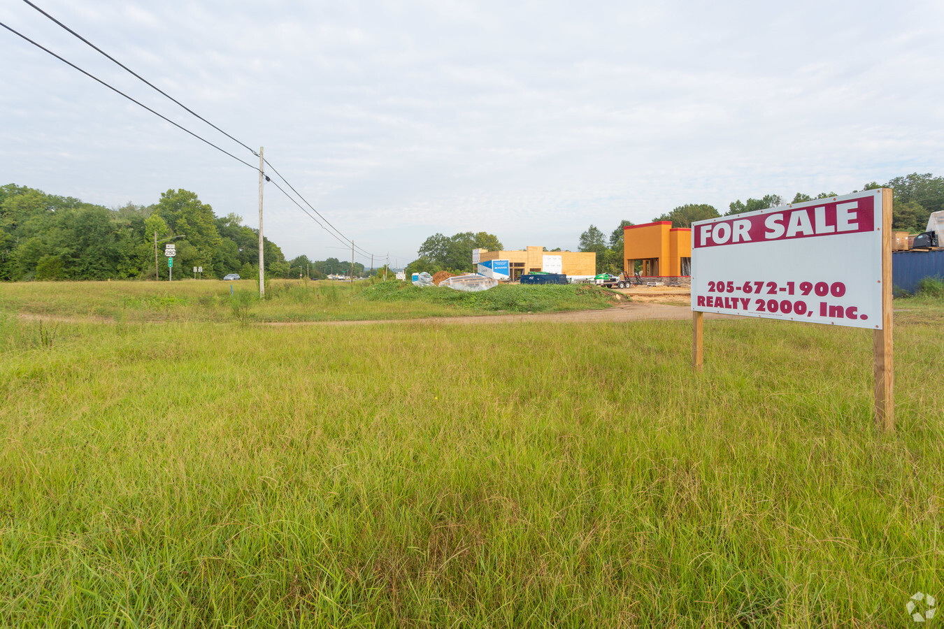
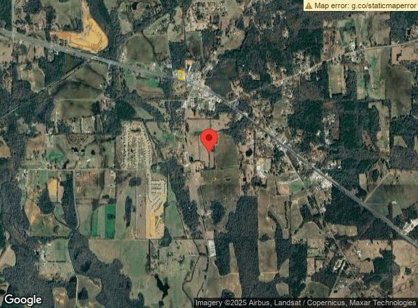
Property Record
5478 Highway 280, Harpersville, AL 35078

NEARBY LISTINGS FOR SALE OR LEASE
-
-
View all Harpersville listings for sale on LoopNet.com
Property Detail
5478 Highway 280
07-8-28-3-001-009-000
COM E LN SW1/4 & N ROW U S HWY#280 NWLY ALG ROW 137 TO POB CONT NWLY167.9 N300 SELY192.8 SWLY268 TO POB
Restaurantdrivein
Shelby
X
Alabama
01117C0277E
1.02 AC
2023
Chelsea/Harpersville
2023
Birmingham
030103
Birmingham-Hoover, AL
2,580 SF
DEMOGRAPHICS near 5478 Highway 280
1 Mile
3 Mile
5 Mile
2024 Total Population
712
2,538
4,331
2029 Population
784
2,786
4,740
Pop Growth 2024-2029
+ 10.11%
+ 9.77%
+ 9.44%
Average Age
44
44
44
2024 Total Households
282
1,005
1,730
HH Growth 2024-2029
+ 10.28%
+ 9.95%
+ 9.60%
Median Household Inc
$69,166
$68,080
$63,548
Avg Household Size
2.50
2.50
2.50
2024 Avg HH Vehicles
2.00
2.00
2.00
Median Home Value
$291,176
$275,609
$251,195
Median Year Built
1991
1990
1990
Nearby Places
- Restaurants
- Banks
- Shops
- Fitness
- Groceries
PUBLIC TRANSPORTATION
AIRPORT
Birmingham-Shuttlesworth International
DRIVE
WALK
Distance
Birmingham-Shuttlesworth International
47 min
33.6 mi
Freight Ports
Port of Mobile
DRIVE
WALK
Distance
Port of Mobile
278 min
248.0 mi
SALE & LEASE HISTORY
LISTING DATE
SALE/LEASE

Aug 13, 2019
For Sale
Nearby Properties
Address
Land Use
TOTAL SIZE
Lot Size
Zoning
Address
Land Use
TOTAL SIZE
Lot Size
Zoning
73,273 SF
24.92 AC
Address
Land Use
TOTAL SIZE
Lot Size
Zoning
110,000 SF
20 AC
Address
Land Use
TOTAL SIZE
Lot Size
Zoning
Address
Land Use
TOTAL SIZE
Lot Size
Zoning
3,200 SF
6.55 AC
Address
Land Use
TOTAL SIZE
Lot Size
Zoning
3,402 SF
1.14 AC
Address
Land Use
TOTAL SIZE
Lot Size
Zoning
5,040 SF
5.01 AC
Address
Land Use
TOTAL SIZE
Lot Size
Zoning
3,844 SF
1.30 AC
Address
Land Use
TOTAL SIZE
Lot Size
Zoning
4,064 SF
0.93 AC
Address
Land Use
TOTAL SIZE
Lot Size
Zoning
20,944 SF
13.52 AC
Address
Land Use
TOTAL SIZE
Lot Size
Zoning
9,646 SF
1.01 AC
Address
Land Use
TOTAL SIZE
Lot Size
Zoning
14,517 SF
0.72 AC
Address
Land Use
TOTAL SIZE
Lot Size
Zoning
36,500 SF
5.69 AC
Address
Land Use
TOTAL SIZE
Lot Size
Zoning
3,160 SF
0.82 AC
Address
Land Use
TOTAL SIZE
Lot Size
Zoning
10,000 SF
1.22 AC
Address
Land Use
TOTAL SIZE
Lot Size
Zoning
15,000 SF
1.22 AC
Address
Land Use
TOTAL SIZE
Lot Size
Zoning
3,280 SF
0.63 AC
Address
Land Use
TOTAL SIZE
Lot Size
Zoning
6,000 SF
2.35 AC
Address
Land Use
TOTAL SIZE
Lot Size
Zoning
2,900 SF
5 AC
Address
Land Use
TOTAL SIZE
Lot Size
Zoning
9,100 SF
1.13 AC
Address
Land Use
TOTAL SIZE
Lot Size
Zoning
Address
Land Use
TOTAL SIZE
Lot Size
Zoning
2,720 SF
4.78 AC
Address
Land Use
TOTAL SIZE
Lot Size
Zoning
3,192 SF
1.40 AC
Address
Land Use
TOTAL SIZE
Lot Size
Zoning
4,645 SF
2.44 AC
Address
Land Use
TOTAL SIZE
Lot Size
Zoning
16,800 SF
5.21 AC
The World's #1 Commercial Real Estate Marketplace
Connect with us
© 2025 CoStar Group
The information above has been obtained from sources believed reliable. While we do not doubt its accuracy we have not verified it and make no guarantee, warranty or representation about it. It is your responsibility to independently confirm its accuracy and completeness. Any projections, opinions, assumptions, or estimates used are for example only and do not represent the current or future performance of the property. The value of this transaction to you depends on tax and other factors which should be evaluated by your tax, financial, and legal advisors. You and your advisors should conduct a careful, independent investigation of the property to determine to your satisfaction the suitability of the property for your needs.