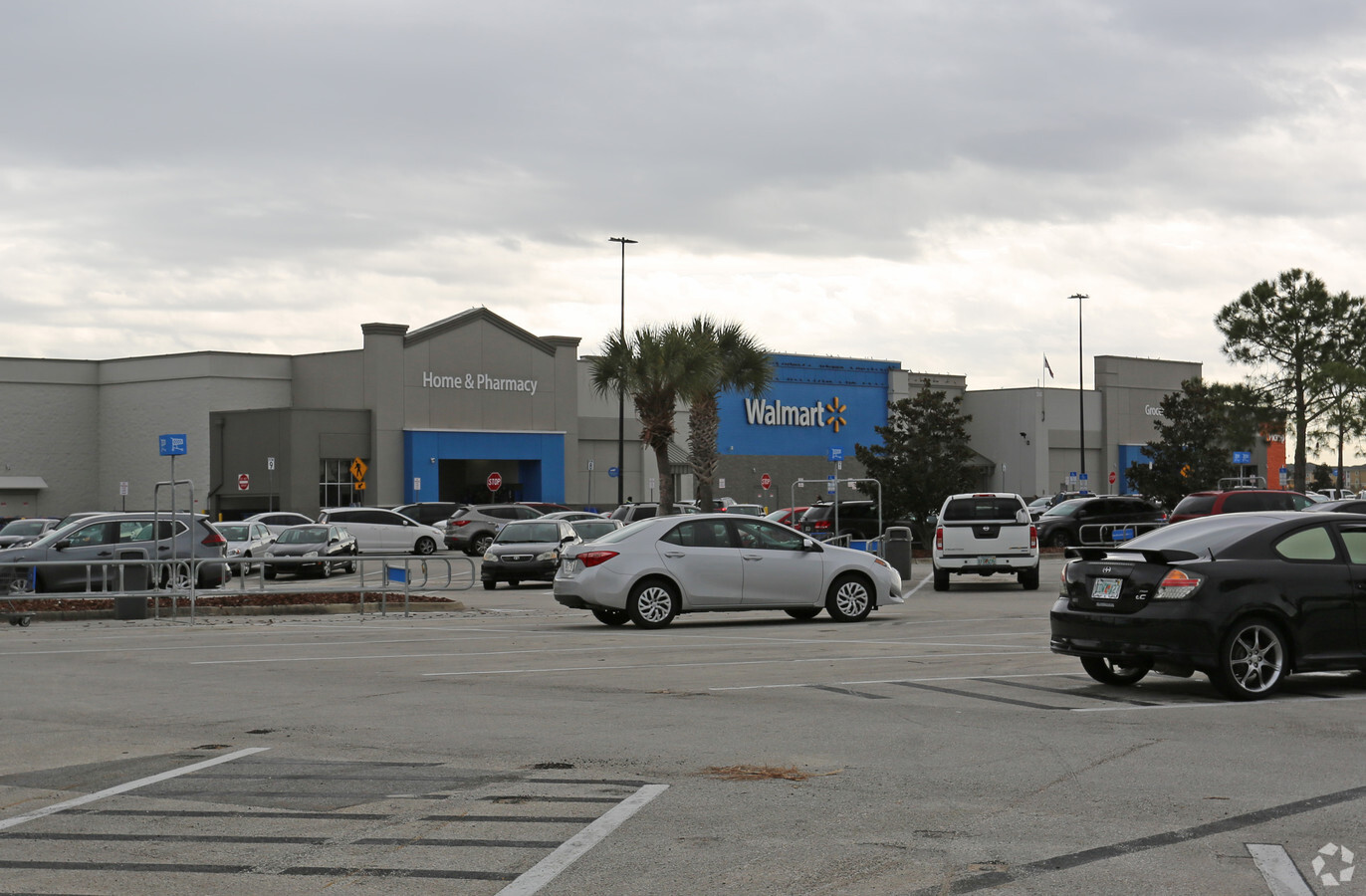
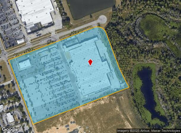
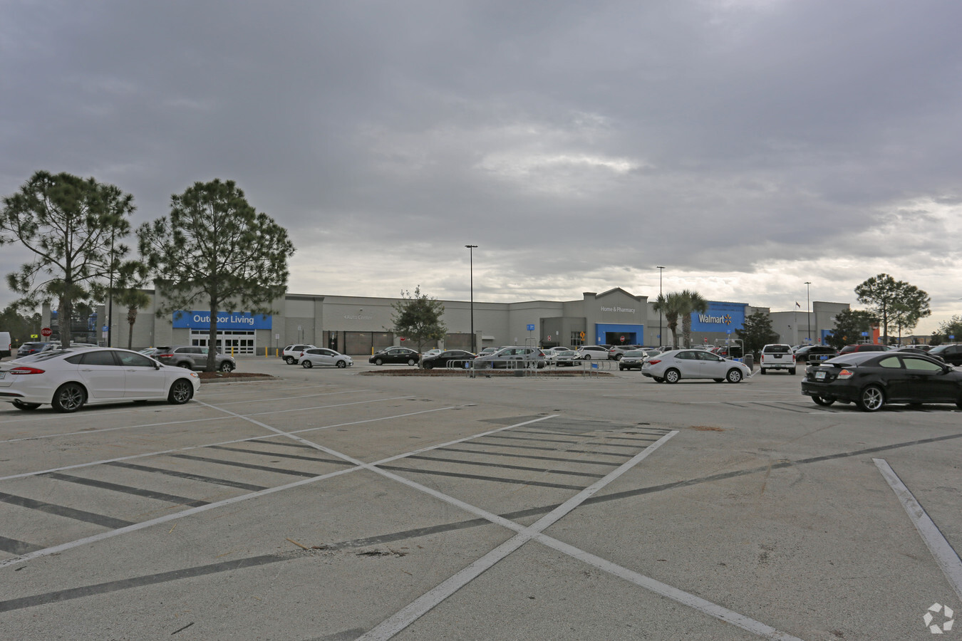
Property Record
550 Us Highway 27, Clermont, FL 34714
NEARBY LISTINGS FOR SALE OR LEASE
-
-
-
-
-
-
NEC and SEC of Sawgrass Parkway and Sanctuary
Clermont, FL 34714
Negotiable
40,075 - 72,310 SF
Retail
-
View all Clermont listings for sale on LoopNet.com
Property Detail
550 Us Highway 27
35-24-26-0001-000-07100
FROM SE COR OF NE 1/4 OF NE 1/4 OF SE 1/4 OF SEC 35-24-26 RUN N 0-0-34 E 578.46 FT FOR POB RUN S 69-24-01 W 345.10 FT N 20-35-55 W 797.36 FT N 69-24-01 E 645.57 FT TO A PT ON E LINE OF NE 1/4 OF SEC 35 SAID PT ALSO BEING W LINE OF NW 1/4 OF SEC 36 CO
Warehouse
Lake
X
Florida
12105C0100G
71
2023
21.41 AC
2024
Lake County
031317
Orlando
236,248 SF
Orlando-Kissimmee-Sanford, FL
DEMOGRAPHICS near 550 Us Highway 27
1 Mile
3 Mile
5 Mile
2024 Total Population
11,541
53,378
90,024
2029 Population
13,563
64,804
108,697
Pop Growth 2024-2029
+ 17.52%
+ 21.41%
+ 20.74%
Average Age
36
38
37
2024 Total Households
4,949
20,245
32,598
HH Growth 2024-2029
+ 17.01%
+ 21.22%
+ 20.65%
Median Household Inc
$51,723
$61,654
$66,945
Avg Household Size
2.30
2.60
2.70
2024 Avg HH Vehicles
1.00
2.00
2.00
Median Home Value
$225,718
$256,885
$285,538
Median Year Built
2001
2004
2006
Nearby Places
- Restaurants
- Banks
- Shops
- Fitness
- Groceries
PUBLIC TRANSPORTATION
AIRPORT
Orlando International
DRIVE
WALK
Distance
Orlando International
44 min
29.2 mi
Freight Ports
Port of Tampa Bay
DRIVE
WALK
Distance
Port of Tampa Bay
80 min
65.4 mi
Nearby Properties
Address
Land Use
TOTAL SIZE
Lot Size
Zoning
Address
Land Use
TOTAL SIZE
Lot Size
Zoning
883,200 SF
75.26 AC
P-D
Address
Land Use
TOTAL SIZE
Lot Size
Zoning
414,620 SF
16.64 AC
P-D
Address
Land Use
TOTAL SIZE
Lot Size
Zoning
480,142 SF
29.57 AC
OPD
Address
Land Use
TOTAL SIZE
Lot Size
Zoning
364,023 SF
18.77 AC
OPD
Address
Land Use
TOTAL SIZE
Lot Size
Zoning
277,616 SF
19.03 AC
Address
Land Use
TOTAL SIZE
Lot Size
Zoning
128,000 SF
19.60 AC
P-D
Address
Land Use
TOTAL SIZE
Lot Size
Zoning
357,292 SF
1.34 AC
P-D
Address
Land Use
TOTAL SIZE
Lot Size
Zoning
375,326 SF
20.03 AC
PUD
Address
Land Use
TOTAL SIZE
Lot Size
Zoning
330,913 SF
16.74 AC
PUD
Address
Land Use
TOTAL SIZE
Lot Size
Zoning
272,106 SF
12.22 AC
Address
Land Use
TOTAL SIZE
Lot Size
Zoning
315,346 SF
22.58 AC
PUD
Address
Land Use
TOTAL SIZE
Lot Size
Zoning
299,696 SF
9.79 AC
PUD
Address
Land Use
TOTAL SIZE
Lot Size
Zoning
114,592 SF
18.46 AC
OCT
Address
Land Use
TOTAL SIZE
Lot Size
Zoning
283,492 SF
11.97 AC
PUD
Address
Land Use
TOTAL SIZE
Lot Size
Zoning
196,553 SF
6.13 AC
Address
Land Use
TOTAL SIZE
Lot Size
Zoning
71,280 SF
4.91 AC
P-D
Address
Land Use
TOTAL SIZE
Lot Size
Zoning
189.88 AC
P-D
Address
Land Use
TOTAL SIZE
Lot Size
Zoning
16,371 SF
266.28 AC
C1
Address
Land Use
TOTAL SIZE
Lot Size
Zoning
330,563 SF
20.07 AC
PUD
Address
Land Use
TOTAL SIZE
Lot Size
Zoning
71,280 SF
0.59 AC
P-D
Address
Land Use
TOTAL SIZE
Lot Size
Zoning
110.38 AC
PUD
Address
Land Use
TOTAL SIZE
Lot Size
Zoning
154,933 SF
20.94 AC
OPD
Address
Land Use
TOTAL SIZE
Lot Size
Zoning
149,856 SF
4.66 AC
PUD
Address
Land Use
TOTAL SIZE
Lot Size
Zoning
97,850 SF
3.02 AC
Address
Land Use
TOTAL SIZE
Lot Size
Zoning
168,045 SF
8.48 AC
OPUD
Address
Land Use
TOTAL SIZE
Lot Size
Zoning
60,000 SF
10.78 AC
RC
Address
Land Use
TOTAL SIZE
Lot Size
Zoning
116,811 SF
3.94 AC
PUD
Address
Land Use
TOTAL SIZE
Lot Size
Zoning
95,824 SF
4.97 AC
OTSC
Address
Land Use
TOTAL SIZE
Lot Size
Zoning
118,569 SF
3.53 AC
PUD
The World's #1 Commercial Real Estate Marketplace
Connect with us
© 2025 CoStar Group
The information above has been obtained from sources believed reliable. While we do not doubt its accuracy we have not verified it and make no guarantee, warranty or representation about it. It is your responsibility to independently confirm its accuracy and completeness. Any projections, opinions, assumptions, or estimates used are for example only and do not represent the current or future performance of the property. The value of this transaction to you depends on tax and other factors which should be evaluated by your tax, financial, and legal advisors. You and your advisors should conduct a careful, independent investigation of the property to determine to your satisfaction the suitability of the property for your needs.