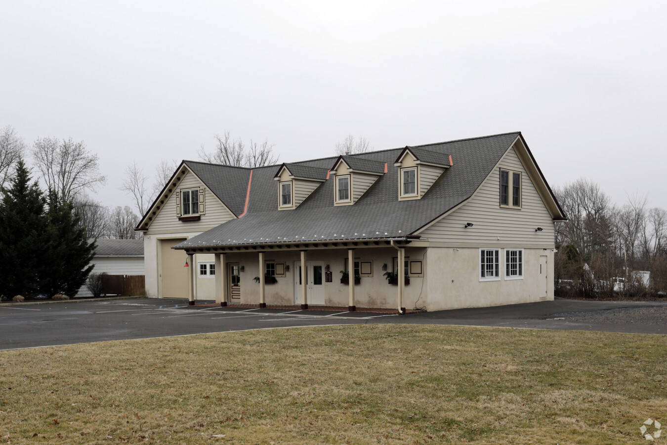
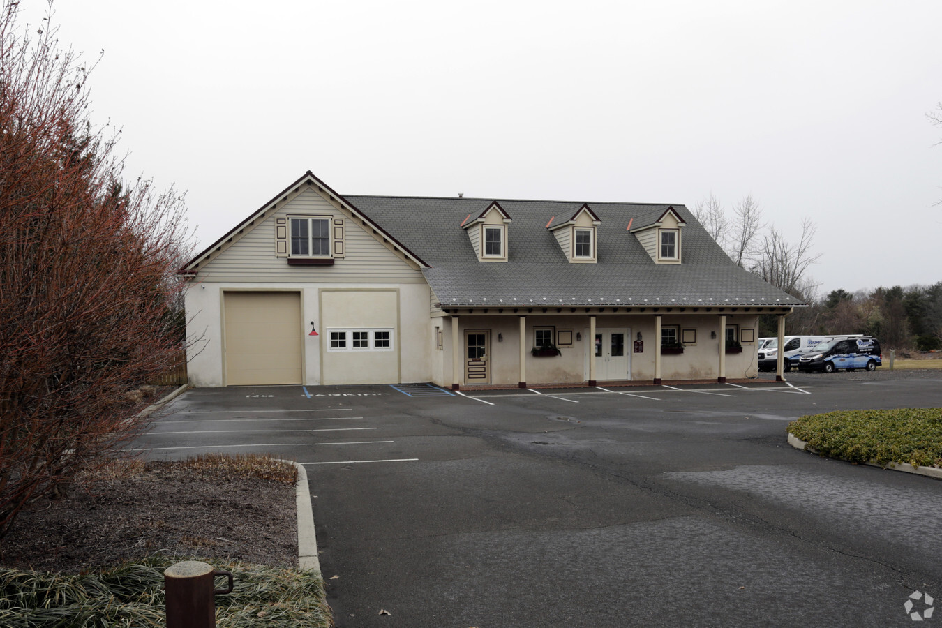
Property Record
561 Durham Rd, Newtown, PA 18940

Current Lease Availabilities
NEARBY LISTINGS FOR SALE OR LEASE
Property Detail
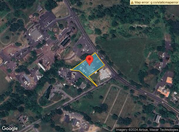
561 Durham Rd
Philadelphia
Penns Park
Philadelphia-Camden-Wilmington, PA-NJ-DE-MD
LOT W S DOYLESTOWN RD 196 FT N PENNS PARK RD 160X322
53-012-037
Bucks
Commercialnec
Pennsylvania
2024
w
2024
1.18 AC
105100
Lower Bucks County
1,980 SF
DEMOGRAPHICS near 561 Durham Rd
1 Mile
3 Mile
5 Mile
2024 Total Population
1,337
15,242
63,619
2029 Population
1,295
15,057
63,159
Pop Growth 2024-2029
(3.14%)
(1.21%)
(0.72%)
Average Age
43
44
45
2024 Total Households
452
5,464
23,503
HH Growth 2024-2029
(3.10%)
(1.26%)
(0.83%)
Median Household Inc
$157,094
$150,604
$139,700
Avg Household Size
3.00
2.80
2.60
2024 Avg HH Vehicles
2.00
2.00
2.00
Median Home Value
$728,009
$629,175
$546,361
Median Year Built
1977
1986
1984
Nearby Places
- Restaurants
- Banks
- Shops
- Fitness
- Groceries
PUBLIC TRANSPORTATION
COMMUTER RAIL
Warminster (R2 - Southeastern Pennsylvania Transportation Authority Regional Rail (SEPTA Regional Rail))
DRIVE
WALK
Distance
Warminster (R2 - Southeastern Pennsylvania Transportation Authority Regional Rail (SEPTA Regional Rail))
18 min
9.3 mi
AIRPORT
Trenton Mercer
DRIVE
WALK
Distance
Trenton Mercer
22 min
11.0 mi
Freight Ports
Port of Philadelphia
DRIVE
WALK
Distance
Port of Philadelphia
41 min
23.4 mi
Nearby Properties
Address
Land Use
TOTAL SIZE
Lot Size
Zoning
Address
Land Use
TOTAL SIZE
Lot Size
Zoning
32,319 SF
7.30 AC
C1
Address
Land Use
TOTAL SIZE
Lot Size
Zoning
22.59 AC
R1
Address
Land Use
TOTAL SIZE
Lot Size
Zoning
800 SF
147.62 AC
QA
Address
Land Use
TOTAL SIZE
Lot Size
Zoning
53,644 SF
8.91 AC
R1
Address
Land Use
TOTAL SIZE
Lot Size
Zoning
83,055 SF
2.65 AC
CS
Address
Land Use
TOTAL SIZE
Lot Size
Zoning
19,410 SF
7.53 AC
IP
Address
Land Use
TOTAL SIZE
Lot Size
Zoning
42,588 SF
42.73 AC
AG
Address
Land Use
TOTAL SIZE
Lot Size
Zoning
22,023 SF
5.70 AC
VC2
Address
Land Use
TOTAL SIZE
Lot Size
Zoning
0.15 AC
R2
Address
Land Use
TOTAL SIZE
Lot Size
Zoning
6.98 AC
R2
Address
Land Use
TOTAL SIZE
Lot Size
Zoning
1,760 SF
0.12 AC
R1
Address
Land Use
TOTAL SIZE
Lot Size
Zoning
34,157 SF
2.19 AC
LI
Address
Land Use
TOTAL SIZE
Lot Size
Zoning
Address
Land Use
TOTAL SIZE
Lot Size
Zoning
18,480 SF
34.34 AC
CM
Address
Land Use
TOTAL SIZE
Lot Size
Zoning
16,891 SF
0.39 AC
LI
Address
Land Use
TOTAL SIZE
Lot Size
Zoning
1,008 SF
3.27 AC
CM
Address
Land Use
TOTAL SIZE
Lot Size
Zoning
43.44 AC
CM
Address
Land Use
TOTAL SIZE
Lot Size
Zoning
4,300 SF
38.79 AC
CM
Address
Land Use
TOTAL SIZE
Lot Size
Zoning
0.33 AC
CM
Address
Land Use
TOTAL SIZE
Lot Size
Zoning
55,750 SF
4.06 AC
R1
Address
Land Use
TOTAL SIZE
Lot Size
Zoning
6,849 SF
8.46 AC
CM
Address
Land Use
TOTAL SIZE
Lot Size
Zoning
9,944 SF
2.82 AC
VC2
Address
Land Use
TOTAL SIZE
Lot Size
Zoning
3.43 AC
Address
Land Use
TOTAL SIZE
Lot Size
Zoning
10,466 SF
1.01 AC
Address
Land Use
TOTAL SIZE
Lot Size
Zoning
6.95 AC
CR1
Address
Land Use
TOTAL SIZE
Lot Size
Zoning
14,515 SF
1.12 AC
MS
Address
Land Use
TOTAL SIZE
Lot Size
Zoning
34,126 SF
47.69 AC
VR1
Address
Land Use
TOTAL SIZE
Lot Size
Zoning
44,574 SF
9.87 AC
CR1
Address
Land Use
TOTAL SIZE
Lot Size
Zoning
19,510 SF
1.17 AC
Address
Land Use
TOTAL SIZE
Lot Size
Zoning
63.54 AC
CM
The World's #1 Commercial Real Estate Marketplace
Connect with us
© 2025 CoStar Group
The information above has been obtained from sources believed reliable. While we do not doubt its accuracy we have not verified it and make no guarantee, warranty or representation about it. It is your responsibility to independently confirm its accuracy and completeness. Any projections, opinions, assumptions, or estimates used are for example only and do not represent the current or future performance of the property. The value of this transaction to you depends on tax and other factors which should be evaluated by your tax, financial, and legal advisors. You and your advisors should conduct a careful, independent investigation of the property to determine to your satisfaction the suitability of the property for your needs.