Property Record
5638 Uwharrie Rd, High Point, NC 27263
NEARBY LISTINGS FOR SALE OR LEASE
Property Detail
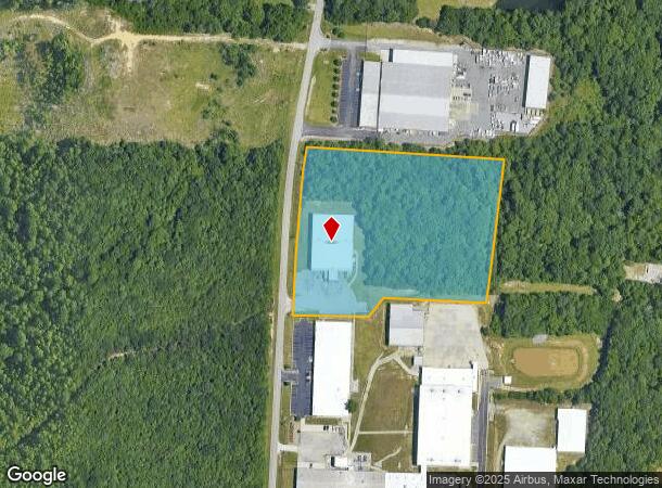
5638 Uwharrie Rd
7708-05-8699
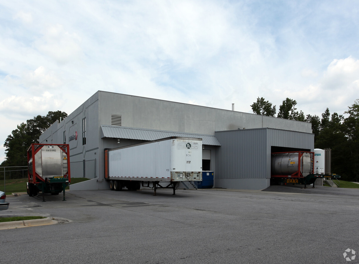
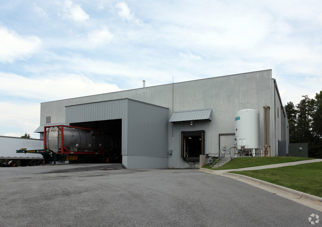
Jowat Corporation
Warehouse
JOWAT CORPORATION LO:FUTURE A PL:137-15
X
Randolph
3710770800J
North Carolina
2024
5.95 AC
2024
NW Randolph Cnty/Archdale
031601
Greensboro/Winston-Salem
19,200 SF
Greensboro-High Point, NC
DEMOGRAPHICS near 5638 Uwharrie Rd
1 Mile
3 Mile
5 Mile
2024 Total Population
1,329
25,824
88,102
2029 Population
1,413
26,511
90,697
Pop Growth 2024-2029
+ 6.32%
+ 2.66%
+ 2.95%
Average Age
42
40
39
2024 Total Households
517
10,553
34,049
HH Growth 2024-2029
+ 6.19%
+ 2.62%
+ 3.00%
Median Household Inc
$61,262
$48,426
$48,357
Avg Household Size
2.40
2.40
2.40
2024 Avg HH Vehicles
2.00
2.00
2.00
Median Home Value
$197,162
$140,185
$155,094
Median Year Built
1989
1976
1972
Nearby Places
- Restaurants
- Banks
- Shops
- Fitness
- Groceries
PUBLIC TRANSPORTATION
COMMUTER RAIL
High Point Station (Piedmont - North Carolina by Train (NC Train))
DRIVE
WALK
Distance
High Point Station (Piedmont - North Carolina by Train (NC Train))
11 min
5.3 mi
AIRPORT
Piedmont Triad International
DRIVE
WALK
Distance
Piedmont Triad International
34 min
17.4 mi
Freight Ports
Port of Wilmington
DRIVE
WALK
Distance
Port of Wilmington
254 min
213.7 mi
Nearby Properties
Address
Land Use
TOTAL SIZE
Lot Size
Zoning
Address
Land Use
TOTAL SIZE
Lot Size
Zoning
7,898 SF
68.51 AC
M2
Address
Land Use
TOTAL SIZE
Lot Size
Zoning
355,633 SF
63.42 AC
HI
Address
Land Use
TOTAL SIZE
Lot Size
Zoning
196,353 SF
13.76 AC
RC
Address
Land Use
TOTAL SIZE
Lot Size
Zoning
351,736 SF
34.77 AC
HI
Address
Land Use
TOTAL SIZE
Lot Size
Zoning
127,800 SF
57.35 AC
M1
Address
Land Use
TOTAL SIZE
Lot Size
Zoning
245,194 SF
23.44 AC
LI
Address
Land Use
TOTAL SIZE
Lot Size
Zoning
107,417 SF
6.46 AC
CU-RM-8
Address
Land Use
TOTAL SIZE
Lot Size
Zoning
101,612 SF
15.82 AC
CU-RM-8
Address
Land Use
TOTAL SIZE
Lot Size
Zoning
170,516 SF
17.08 AC
CU-SC
Address
Land Use
TOTAL SIZE
Lot Size
Zoning
223,806 SF
12.60 AC
HI
Address
Land Use
TOTAL SIZE
Lot Size
Zoning
82,160 SF
23.62 AC
C2
Address
Land Use
TOTAL SIZE
Lot Size
Zoning
10,810 SF
158.27 AC
PI
Address
Land Use
TOTAL SIZE
Lot Size
Zoning
7,680 SF
9.95 AC
GRD
Address
Land Use
TOTAL SIZE
Lot Size
Zoning
2,128 SF
20.06 AC
M1
Address
Land Use
TOTAL SIZE
Lot Size
Zoning
109,950 SF
28.29 AC
M1
Address
Land Use
TOTAL SIZE
Lot Size
Zoning
28.20 AC
R40
Address
Land Use
TOTAL SIZE
Lot Size
Zoning
493,334 SF
7.40 AC
LI
Address
Land Use
TOTAL SIZE
Lot Size
Zoning
121,473 SF
32.77 AC
RM-16
Address
Land Use
TOTAL SIZE
Lot Size
Zoning
108,429 SF
14.43 AC
CU-SC
Address
Land Use
TOTAL SIZE
Lot Size
Zoning
98,287 SF
14.50 AC
CU-RM-8
Address
Land Use
TOTAL SIZE
Lot Size
Zoning
204,172 SF
9.43 AC
HI
Address
Land Use
TOTAL SIZE
Lot Size
Zoning
52,061 SF
3.03 AC
LI
Address
Land Use
TOTAL SIZE
Lot Size
Zoning
43,000 SF
8.63 AC
C2
Address
Land Use
TOTAL SIZE
Lot Size
Zoning
7,680 SF
7.51 AC
GRD
Address
Land Use
TOTAL SIZE
Lot Size
Zoning
150,970 SF
36.21 AC
M1
Address
Land Use
TOTAL SIZE
Lot Size
Zoning
45,224 SF
8.03 AC
OI
Address
Land Use
TOTAL SIZE
Lot Size
Zoning
104,623 SF
55.13 AC
R40
Address
Land Use
TOTAL SIZE
Lot Size
Zoning
43,000 SF
15.06 AC
HI
Address
Land Use
TOTAL SIZE
Lot Size
Zoning
5,040 SF
14.88 AC
HI
Address
Land Use
TOTAL SIZE
Lot Size
Zoning
9.70 AC
R40
The World's #1 Commercial Real Estate Marketplace
Connect with us
© 2025 CoStar Group
The information above has been obtained from sources believed reliable. While we do not doubt its accuracy we have not verified it and make no guarantee, warranty or representation about it. It is your responsibility to independently confirm its accuracy and completeness. Any projections, opinions, assumptions, or estimates used are for example only and do not represent the current or future performance of the property. The value of this transaction to you depends on tax and other factors which should be evaluated by your tax, financial, and legal advisors. You and your advisors should conduct a careful, independent investigation of the property to determine to your satisfaction the suitability of the property for your needs.