Property Record
5700 Nw 37Th Ave, Miami, FL 33142


NEARBY LISTINGS FOR SALE OR LEASE
Property Detail
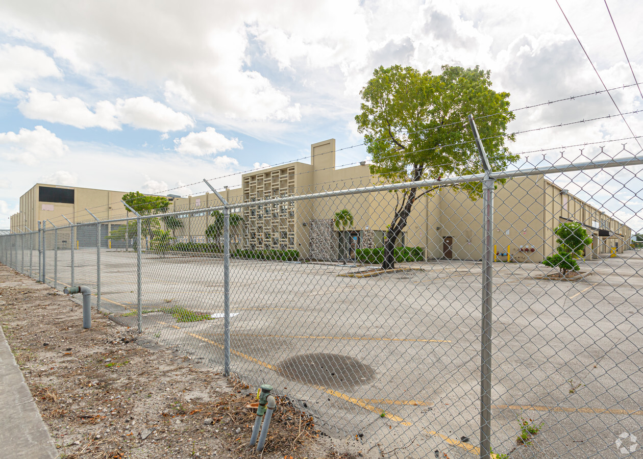
5700 Nw 37Th Ave
04-3117-000-0110
17 53 41 8.94 AC BEG 95.33FTN OF NE COR OF NE1/4 OF SE1/4 OF SE1/4 W297.09FT NWLY ALG CURVE 344.92FT S853.18FT E593.36FT N653.21FT TO POB LESS E35FT LOT SIZE 389426 SQUARE FEET OR 15029-544 0591 4
Warehouse
Miami/Dade
X
Florida
12086C0284L
8.94 AC
2023
Hialeah
2024
South Florida
001701
Miami-Miami Beach-Kendall, FL
202,096 SF
DEMOGRAPHICS near 5700 Nw 37Th Ave
1 Mile
3 Mile
5 Mile
2024 Total Population
15,902
183,228
575,595
2029 Population
15,389
177,655
562,892
Pop Growth 2024-2029
(3.23%)
(3.04%)
(2.21%)
Average Age
43
42
42
2024 Total Households
4,945
61,310
212,339
HH Growth 2024-2029
(3.60%)
(3.40%)
(2.31%)
Median Household Inc
$48,422
$37,707
$42,223
Avg Household Size
3.00
2.80
2.60
2024 Avg HH Vehicles
2.00
2.00
1.00
Median Home Value
$312,266
$320,109
$346,080
Median Year Built
1957
1960
1969
Nearby Places
- Restaurants
- Banks
- Shops
- Fitness
- Groceries
PUBLIC TRANSPORTATION
COMMUTER RAIL
Hialeah Market (Tri-County Commuter - South Florida Regional Transportation Authority (Tri-Rail))
DRIVE
WALK
Distance
Hialeah Market (Tri-County Commuter - South Florida Regional Transportation Authority (Tri-Rail))
4 min
1.5 mi
Brownsville (Metrorail Green Line - Miami-Dade Transit (Metrorail/Metromover))
DRIVE
WALK
Distance
Brownsville (Metrorail Green Line - Miami-Dade Transit (Metrorail/Metromover))
4 min
1.6 mi
AIRPORT
Miami International
DRIVE
WALK
Distance
Miami International
16 min
6.1 mi
Fort Lauderdale/Hollywood International
DRIVE
WALK
Distance
Fort Lauderdale/Hollywood International
34 min
22.6 mi
Freight Ports
Port of Miami
DRIVE
WALK
Distance
Port of Miami
19 min
9.2 mi
SALE & LEASE HISTORY
LISTING DATE
SALE/LEASE

Jul 03, 2019
For Lease
Nearby Properties
Address
Land Use
TOTAL SIZE
Lot Size
Zoning
Address
Land Use
TOTAL SIZE
Lot Size
Zoning
16.13 AC
6100
Address
Land Use
TOTAL SIZE
Lot Size
Zoning
2,789,683 SF
33.23 AC
7300
Address
Land Use
TOTAL SIZE
Lot Size
Zoning
42,224 SF
20.35 AC
7600
Address
Land Use
TOTAL SIZE
Lot Size
Zoning
7.62 AC
7200
Address
Land Use
TOTAL SIZE
Lot Size
Zoning
328,554 SF
668.26 AC
8900
Address
Land Use
TOTAL SIZE
Lot Size
Zoning
1,700 SF
7.24 AC
7100
Address
Land Use
TOTAL SIZE
Lot Size
Zoning
648,350 SF
9.78 AC
6118
Address
Land Use
TOTAL SIZE
Lot Size
Zoning
545,220 SF
15.32 AC
6100
Address
Land Use
TOTAL SIZE
Lot Size
Zoning
451,817 SF
6400
Address
Land Use
TOTAL SIZE
Lot Size
Zoning
2 SF
154.10 AC
8900
Address
Land Use
TOTAL SIZE
Lot Size
Zoning
655,535 SF
31.75 AC
6101
Address
Land Use
TOTAL SIZE
Lot Size
Zoning
239,869 SF
5 AC
8000
Address
Land Use
TOTAL SIZE
Lot Size
Zoning
363,010 SF
19.13 AC
8000
Address
Land Use
TOTAL SIZE
Lot Size
Zoning
510,373 SF
154.10 AC
8900
Address
Land Use
TOTAL SIZE
Lot Size
Zoning
530,479 SF
10.13 AC
6400
Address
Land Use
TOTAL SIZE
Lot Size
Zoning
214,855 SF
3.91 AC
7300
Address
Land Use
TOTAL SIZE
Lot Size
Zoning
680,945 SF
35.56 AC
6400
Address
Land Use
TOTAL SIZE
Lot Size
Zoning
270,840 SF
26.88 AC
7100
Address
Land Use
TOTAL SIZE
Lot Size
Zoning
203,234 SF
28.88 AC
8000
Address
Land Use
TOTAL SIZE
Lot Size
Zoning
412,149 SF
19.40 AC
7100
Address
Land Use
TOTAL SIZE
Lot Size
Zoning
390,142 SF
1.68 AC
6100
Address
Land Use
TOTAL SIZE
Lot Size
Zoning
197,181 SF
7.95 AC
6062
Address
Land Use
TOTAL SIZE
Lot Size
Zoning
330,942 SF
4.80 AC
7600
Address
Land Use
TOTAL SIZE
Lot Size
Zoning
35,881 SF
7.75 AC
6118
Address
Land Use
TOTAL SIZE
Lot Size
Zoning
304,073 SF
6 AC
6200
Address
Land Use
TOTAL SIZE
Lot Size
Zoning
219,849 SF
3.72 AC
8000
Address
Land Use
TOTAL SIZE
Lot Size
Zoning
26,372 SF
7.29 AC
6117
Address
Land Use
TOTAL SIZE
Lot Size
Zoning
485,478 SF
18.10 AC
7100
Address
Land Use
TOTAL SIZE
Lot Size
Zoning
232,213 SF
7.96 AC
6062
The World's #1 Commercial Real Estate Marketplace
Connect with us
© 2025 CoStar Group
The information above has been obtained from sources believed reliable. While we do not doubt its accuracy we have not verified it and make no guarantee, warranty or representation about it. It is your responsibility to independently confirm its accuracy and completeness. Any projections, opinions, assumptions, or estimates used are for example only and do not represent the current or future performance of the property. The value of this transaction to you depends on tax and other factors which should be evaluated by your tax, financial, and legal advisors. You and your advisors should conduct a careful, independent investigation of the property to determine to your satisfaction the suitability of the property for your needs.