Property Record
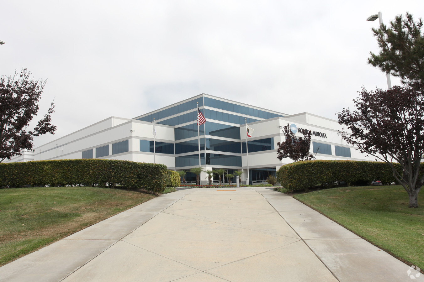
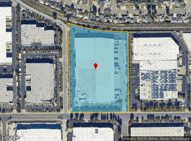
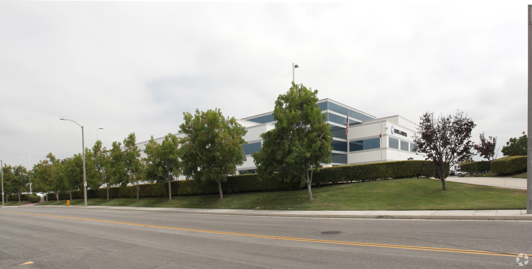
5701 Skylab Rd, Huntington Beach, CA 92647
NEARBY LISTINGS FOR SALE OR LEASE
Property Detail
5701 Skylab Rd
Anaheim-Santa Ana-Irvine, CA
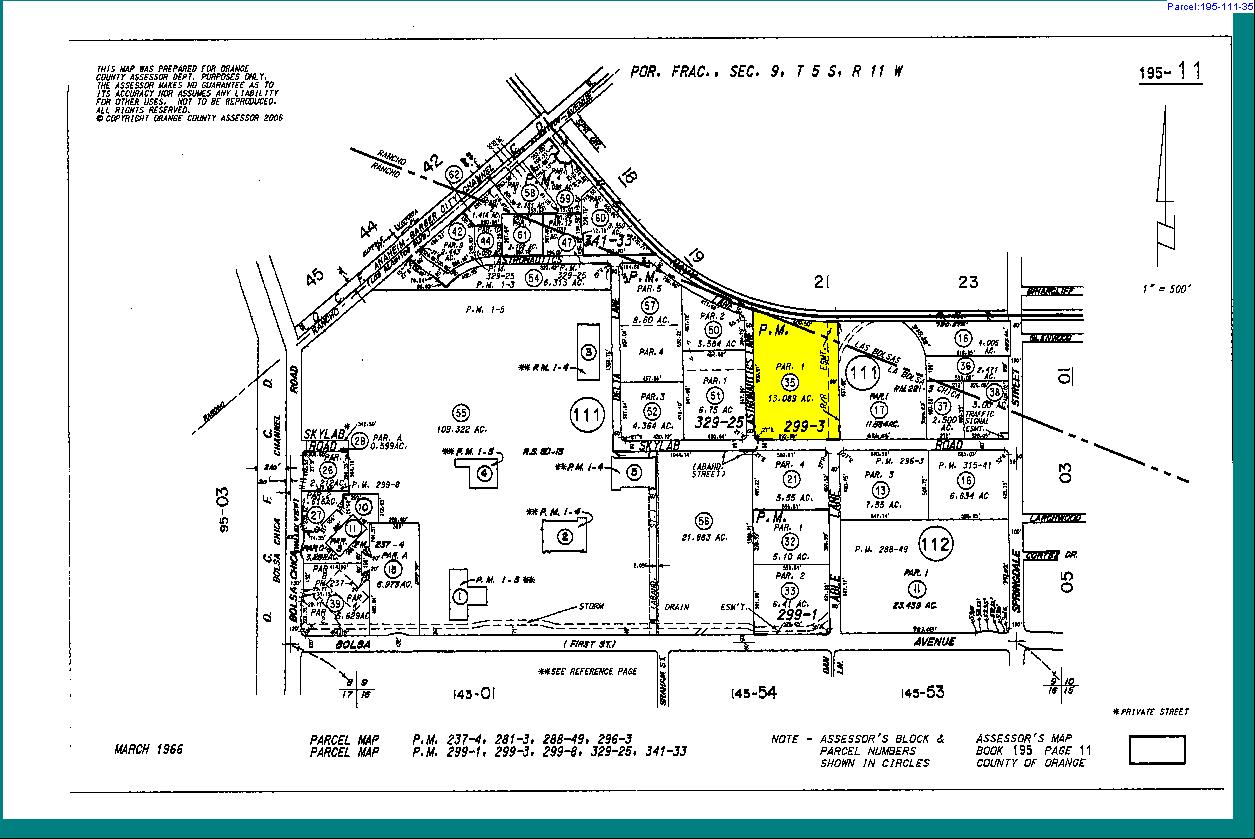
Parcel Map 97-190
195-111-35
P BK 299 PG 3 PAR 1
Industrialgeneral
Orange
X
California
06059C0232J
1
2024
12.30 AC
2024
Huntington Beach
099603
Orange County (California)
DEMOGRAPHICS near 5701 Skylab Rd
1 Mile
3 Mile
5 Mile
2024 Total Population
12,658
158,530
442,034
2029 Population
12,446
156,738
436,802
Pop Growth 2024-2029
(1.67%)
(1.13%)
(1.18%)
Average Age
42
42
43
2024 Total Households
4,279
55,592
149,701
HH Growth 2024-2029
(1.87%)
(1.26%)
(1.30%)
Median Household Inc
$123,888
$95,952
$92,499
Avg Household Size
2.90
2.80
2.80
2024 Avg HH Vehicles
2.00
2.00
2.00
Median Home Value
$767,313
$784,763
$769,701
Median Year Built
1966
1969
1969
Nearby Places
- Restaurants
- Banks
- Shops
- Fitness
- Groceries
PUBLIC TRANSPORTATION
AIRPORT
John Wayne/Orange County
DRIVE
WALK
Distance
John Wayne/Orange County
17 min
11.4 mi
Long Beach (Daugherty Field)
DRIVE
WALK
Distance
Long Beach (Daugherty Field)
17 min
12.3 mi
Los Angeles International
DRIVE
WALK
Distance
Los Angeles International
41 min
31.2 mi
Freight Ports
Port of Long Beach
DRIVE
WALK
Distance
Port of Long Beach
21 min
10.0 mi
SALE & LEASE HISTORY
LISTING DATE
SALE/LEASE

Sep 19, 2017
For Lease
May 06, 2024
For Lease
Mar 14, 2018
For Lease
Nearby Properties
Address
Land Use
TOTAL SIZE
Lot Size
Zoning
Address
Land Use
TOTAL SIZE
Lot Size
Zoning
Address
Land Use
TOTAL SIZE
Lot Size
Zoning
Address
Land Use
TOTAL SIZE
Lot Size
Zoning
Address
Land Use
TOTAL SIZE
Lot Size
Zoning
Address
Land Use
TOTAL SIZE
Lot Size
Zoning
292,787 SF
4.95 AC
Address
Land Use
TOTAL SIZE
Lot Size
Zoning
Address
Land Use
TOTAL SIZE
Lot Size
Zoning
1,226.28 AC
Address
Land Use
TOTAL SIZE
Lot Size
Zoning
Address
Land Use
TOTAL SIZE
Lot Size
Zoning
650.36 AC
Address
Land Use
TOTAL SIZE
Lot Size
Zoning
35.40 AC
Address
Land Use
TOTAL SIZE
Lot Size
Zoning
4.86 AC
Address
Land Use
TOTAL SIZE
Lot Size
Zoning
Address
Land Use
TOTAL SIZE
Lot Size
Zoning
23.41 AC
Address
Land Use
TOTAL SIZE
Lot Size
Zoning
168,744 SF
7.61 AC
Address
Land Use
TOTAL SIZE
Lot Size
Zoning
Address
Land Use
TOTAL SIZE
Lot Size
Zoning
3.77 AC
Address
Land Use
TOTAL SIZE
Lot Size
Zoning
335,101 SF
8.32 AC
Address
Land Use
TOTAL SIZE
Lot Size
Zoning
5,159 SF
17.44 AC
Address
Land Use
TOTAL SIZE
Lot Size
Zoning
Address
Land Use
TOTAL SIZE
Lot Size
Zoning
26,960 SF
64.86 AC
Address
Land Use
TOTAL SIZE
Lot Size
Zoning
Address
Land Use
TOTAL SIZE
Lot Size
Zoning
Address
Land Use
TOTAL SIZE
Lot Size
Zoning
Address
Land Use
TOTAL SIZE
Lot Size
Zoning
Address
Land Use
TOTAL SIZE
Lot Size
Zoning
Address
Land Use
TOTAL SIZE
Lot Size
Zoning
392.51 AC
Address
Land Use
TOTAL SIZE
Lot Size
Zoning
232,677 SF
11.85 AC
Address
Land Use
TOTAL SIZE
Lot Size
Zoning
3.97 AC
Address
Land Use
TOTAL SIZE
Lot Size
Zoning
260,704 SF
11.60 AC
Address
Land Use
TOTAL SIZE
Lot Size
Zoning
109,032 SF
5.24 AC
The World's #1 Commercial Real Estate Marketplace
Connect with us
© 2025 CoStar Group
The information above has been obtained from sources believed reliable. While we do not doubt its accuracy we have not verified it and make no guarantee, warranty or representation about it. It is your responsibility to independently confirm its accuracy and completeness. Any projections, opinions, assumptions, or estimates used are for example only and do not represent the current or future performance of the property. The value of this transaction to you depends on tax and other factors which should be evaluated by your tax, financial, and legal advisors. You and your advisors should conduct a careful, independent investigation of the property to determine to your satisfaction the suitability of the property for your needs.