Property Record
5716 E 2Nd St, Long Beach, CA 90803


This Property Is For Sale
NEARBY LISTINGS FOR SALE OR LEASE
Property Detail
5716 E 2Nd St
Los Angeles-Long Beach-Glendale, CA
Naples Extension Tract
7243-013-003
NAPLES EXTENSION LOT/SEC 6 BLK/DIV/TWN 22
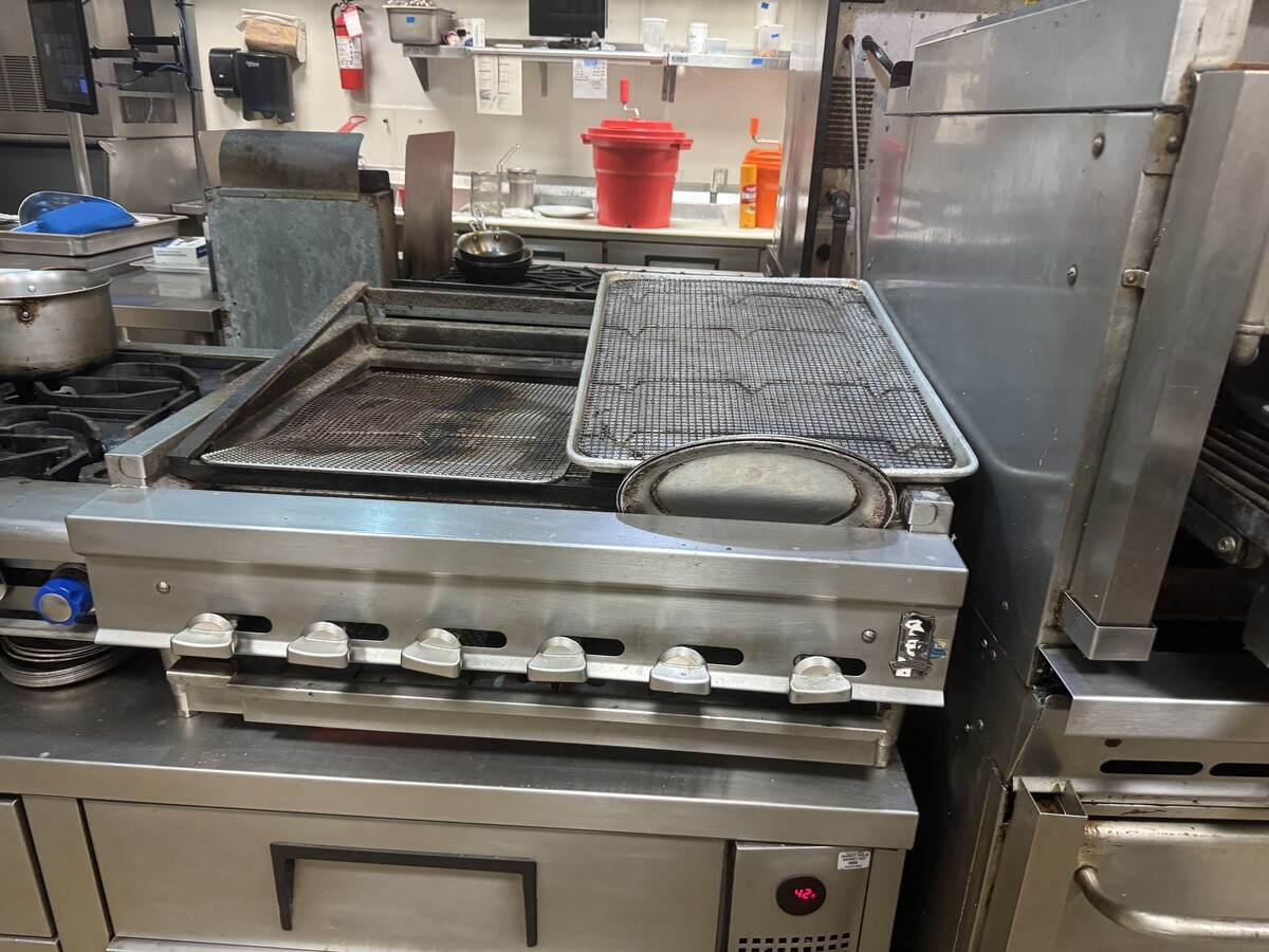
Restaurantbuilding
Los Angeles
AE
California
06037C1988G
6
2024
0.11 AC
2024
Long Beach: Downtown
577501
Los Angeles
2,460 SF
DEMOGRAPHICS near 5716 E 2Nd St
1 Mile
3 Mile
5 Mile
2024 Total Population
16,051
136,846
344,049
2029 Population
15,616
133,242
335,233
Pop Growth 2024-2029
(2.71%)
(2.63%)
(2.56%)
Average Age
48
43
41
2024 Total Households
8,343
62,476
140,896
HH Growth 2024-2029
(2.90%)
(2.77%)
(2.62%)
Median Household Inc
$105,874
$84,298
$79,123
Avg Household Size
1.90
2.10
2.30
2024 Avg HH Vehicles
2.00
2.00
2.00
Median Home Value
$1,086,889
$820,511
$796,747
Median Year Built
1960
1962
1962
Nearby Places
- Restaurants
- Banks
- Shops
- Fitness
- Groceries
PUBLIC TRANSPORTATION
AIRPORT
Long Beach (Daugherty Field)
DRIVE
WALK
Distance
Long Beach (Daugherty Field)
13 min
7.6 mi
John Wayne/Orange County
DRIVE
WALK
Distance
John Wayne/Orange County
23 min
16.9 mi
Los Angeles International
DRIVE
WALK
Distance
Los Angeles International
37 min
26.4 mi
Freight Ports
Port of Long Beach
DRIVE
WALK
Distance
Port of Long Beach
10 min
3.9 mi
Nearby Properties
Address
Land Use
TOTAL SIZE
Lot Size
Zoning
Address
Land Use
TOTAL SIZE
Lot Size
Zoning
225,557 SF
10.81 AC
LBPD1
Address
Land Use
TOTAL SIZE
Lot Size
Zoning
454,844 SF
11.37 AC
Address
Land Use
TOTAL SIZE
Lot Size
Zoning
11.07 AC
Address
Land Use
TOTAL SIZE
Lot Size
Zoning
735.20 AC
Address
Land Use
TOTAL SIZE
Lot Size
Zoning
650.36 AC
Address
Land Use
TOTAL SIZE
Lot Size
Zoning
74,318 SF
18.19 AC
NEW SHOP C
Address
Land Use
TOTAL SIZE
Lot Size
Zoning
140,236 SF
9.21 AC
LBR4N
Address
Land Use
TOTAL SIZE
Lot Size
Zoning
199,137 SF
6.39 AC
LBR4R
Address
Land Use
TOTAL SIZE
Lot Size
Zoning
256,538 SF
6.17 AC
NEW SHOPIN
Address
Land Use
TOTAL SIZE
Lot Size
Zoning
120,843 SF
9 AC
LBCCA
Address
Land Use
TOTAL SIZE
Lot Size
Zoning
89,993 SF
16.81 AC
LBCC
Address
Land Use
TOTAL SIZE
Lot Size
Zoning
414,067 SF
9.31 AC
LBCCA
Address
Land Use
TOTAL SIZE
Lot Size
Zoning
276,622 SF
16.37 AC
LBPD17
Address
Land Use
TOTAL SIZE
Lot Size
Zoning
16.18 AC
Address
Land Use
TOTAL SIZE
Lot Size
Zoning
54,112 SF
15.43 AC
LBPD1
Address
Land Use
TOTAL SIZE
Lot Size
Zoning
73,076 SF
2.53 AC
LBPD1
Address
Land Use
TOTAL SIZE
Lot Size
Zoning
320.34 AC
Address
Land Use
TOTAL SIZE
Lot Size
Zoning
11.97 AC
Address
Land Use
TOTAL SIZE
Lot Size
Zoning
85,992 SF
4.01 AC
LBR4R
Address
Land Use
TOTAL SIZE
Lot Size
Zoning
227,281 SF
2.90 AC
LBR4N
Address
Land Use
TOTAL SIZE
Lot Size
Zoning
3.32 AC
Address
Land Use
TOTAL SIZE
Lot Size
Zoning
200,280 SF
13.17 AC
LBPD1
Address
Land Use
TOTAL SIZE
Lot Size
Zoning
163,732 SF
3.54 AC
LBR4N
Address
Land Use
TOTAL SIZE
Lot Size
Zoning
243,531 SF
5.47 AC
LBCCA
Address
Land Use
TOTAL SIZE
Lot Size
Zoning
58,174 SF
0.80 AC
LBPD2
Address
Land Use
TOTAL SIZE
Lot Size
Zoning
11.93 AC
Address
Land Use
TOTAL SIZE
Lot Size
Zoning
116,184 SF
1.17 AC
LBCCA
Address
Land Use
TOTAL SIZE
Lot Size
Zoning
110,432 SF
7.16 AC
LBCCA
Address
Land Use
TOTAL SIZE
Lot Size
Zoning
198,835 SF
4.86 AC
LBCHW
Address
Land Use
TOTAL SIZE
Lot Size
Zoning
The World's #1 Commercial Real Estate Marketplace
Connect with us
© 2025 CoStar Group
The information above has been obtained from sources believed reliable. While we do not doubt its accuracy we have not verified it and make no guarantee, warranty or representation about it. It is your responsibility to independently confirm its accuracy and completeness. Any projections, opinions, assumptions, or estimates used are for example only and do not represent the current or future performance of the property. The value of this transaction to you depends on tax and other factors which should be evaluated by your tax, financial, and legal advisors. You and your advisors should conduct a careful, independent investigation of the property to determine to your satisfaction the suitability of the property for your needs.