Property Record
5753 N Broadway St, Chicago, IL 60660

NEARBY LISTINGS FOR SALE OR LEASE
Property Detail
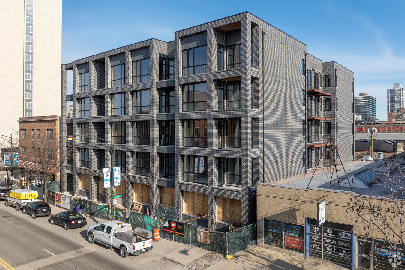
5753 N Broadway St
Chicago-Naperville-Elgin, IL-IN-WI
Cochrans Add To Edgewater
14-05-404-002-0000
Cook
Vacantlandnec
Illinois
X
24,23
17031C0406K
0.13 AC
2022
Northwest City
2024
Chicago
030200
DEMOGRAPHICS near 5753 N Broadway St
1 Mile
3 Mile
5 Mile
2024 Total Population
70,917
379,951
747,428
2029 Population
69,057
367,909
721,807
Pop Growth 2024-2029
(2.62%)
(3.17%)
(3.43%)
Average Age
41
39
38
2024 Total Households
38,089
177,547
338,607
HH Growth 2024-2029
(2.85%)
(3.39%)
(3.58%)
Median Household Inc
$59,287
$68,819
$80,587
Avg Household Size
1.70
2.00
2.10
2024 Avg HH Vehicles
1.00
1.00
1.00
Median Home Value
$312,500
$361,742
$416,883
Median Year Built
1949
1948
1949
Nearby Places
- Restaurants
- Banks
- Shops
- Fitness
- Groceries
PUBLIC TRANSPORTATION
TRANSIT/SUBWAY
Thorndale Station (Red Line - Chicago Transit Authority "L" Trains (The "L"))
DRIVE
WALK
Distance
Thorndale Station (Red Line - Chicago Transit Authority "L" Trains (The "L"))
1 min
5 min
0.3 mi
Granville Station (Red Line - Chicago Transit Authority "L" Trains (The "L"))
DRIVE
WALK
Distance
Granville Station (Red Line - Chicago Transit Authority "L" Trains (The "L"))
1 min
8 min
0.4 mi
Bryn Mawr Station (Red Line - Chicago Transit Authority "L" Trains (The "L"))
DRIVE
WALK
Distance
Bryn Mawr Station (Red Line - Chicago Transit Authority "L" Trains (The "L"))
2 min
12 min
0.7 mi
Loyola Station (Red Line - Chicago Transit Authority "L" Trains (The "L"))
DRIVE
WALK
Distance
Loyola Station (Red Line - Chicago Transit Authority "L" Trains (The "L"))
4 min
16 min
0.9 mi
COMMUTER RAIL
Rogers Park Station (Union Pacific North Line - Northeast Illinois Regional Commuter Railroad (Metra))
DRIVE
WALK
Distance
Rogers Park Station (Union Pacific North Line - Northeast Illinois Regional Commuter Railroad (Metra))
6 min
2.2 mi
Ravenswood Station (Union Pacific North Line - Northeast Illinois Regional Commuter Railroad (Metra))
DRIVE
WALK
Distance
Ravenswood Station (Union Pacific North Line - Northeast Illinois Regional Commuter Railroad (Metra))
7 min
2.7 mi
AIRPORT
Chicago O'Hare International
DRIVE
WALK
Distance
Chicago O'Hare International
26 min
13.9 mi
Chicago Midway International
DRIVE
WALK
Distance
Chicago Midway International
30 min
20.4 mi
Freight Ports
Port Milwaukee
DRIVE
WALK
Distance
Port Milwaukee
100 min
78.0 mi
Nearby Properties
Address
Land Use
TOTAL SIZE
Lot Size
Zoning
Address
Land Use
TOTAL SIZE
Lot Size
Zoning
228,018 SF
8.72 AC
PD 958
Address
Land Use
TOTAL SIZE
Lot Size
Zoning
0.63 AC
PD 1372
Address
Land Use
TOTAL SIZE
Lot Size
Zoning
0.96 AC
PD 958
Address
Land Use
TOTAL SIZE
Lot Size
Zoning
305,592 SF
27.35 AC
Address
Land Use
TOTAL SIZE
Lot Size
Zoning
301,100 SF
2.20 AC
PD 37
Address
Land Use
TOTAL SIZE
Lot Size
Zoning
170,538 SF
0.76 AC
PD 112
Address
Land Use
TOTAL SIZE
Lot Size
Zoning
1 AC
RS-3
Address
Land Use
TOTAL SIZE
Lot Size
Zoning
147,835 SF
1.03 AC
PD 37
Address
Land Use
TOTAL SIZE
Lot Size
Zoning
71,400 SF
0.95 AC
RT-4,B3-2
Address
Land Use
TOTAL SIZE
Lot Size
Zoning
201,600 SF
1.93 AC
PD 92
Address
Land Use
TOTAL SIZE
Lot Size
Zoning
2.25 AC
PD 612
Address
Land Use
TOTAL SIZE
Lot Size
Zoning
0.64 AC
PD 958
Address
Land Use
TOTAL SIZE
Lot Size
Zoning
63,700 SF
7.42 AC
PD 796
Address
Land Use
TOTAL SIZE
Lot Size
Zoning
19,300 SF
1.90 AC
M2-2
Address
Land Use
TOTAL SIZE
Lot Size
Zoning
197,785 SF
4.03 AC
PD 943
Address
Land Use
TOTAL SIZE
Lot Size
Zoning
1.35 AC
PD 1194
Address
Land Use
TOTAL SIZE
Lot Size
Zoning
83,966 SF
0.76 AC
RM-5.5
Address
Land Use
TOTAL SIZE
Lot Size
Zoning
226,345 SF
3.71 AC
PD 1203
Address
Land Use
TOTAL SIZE
Lot Size
Zoning
32,200 SF
5.67 AC
B3-5,RM-6.
Address
Land Use
TOTAL SIZE
Lot Size
Zoning
150,448 SF
0.96 AC
PD 958
Address
Land Use
TOTAL SIZE
Lot Size
Zoning
145,031 SF
1.90 AC
PD 372
Address
Land Use
TOTAL SIZE
Lot Size
Zoning
70,792 SF
1.40 AC
PD 631
Address
Land Use
TOTAL SIZE
Lot Size
Zoning
1.01 AC
RM-6,POS-1
Address
Land Use
TOTAL SIZE
Lot Size
Zoning
124,706 SF
11.13 AC
PD 880
Address
Land Use
TOTAL SIZE
Lot Size
Zoning
24,400 SF
0.50 AC
B3-2
Address
Land Use
TOTAL SIZE
Lot Size
Zoning
5.48 AC
RT-4,PD 10
Address
Land Use
TOTAL SIZE
Lot Size
Zoning
0.16 AC
RM-6
Address
Land Use
TOTAL SIZE
Lot Size
Zoning
41,361 SF
0.77 AC
RS-3
Address
Land Use
TOTAL SIZE
Lot Size
Zoning
47,014 SF
0.57 AC
B3-2
Address
Land Use
TOTAL SIZE
Lot Size
Zoning
0.23 AC
B3-3
The World's #1 Commercial Real Estate Marketplace
Connect with us
© 2025 CoStar Group
The information above has been obtained from sources believed reliable. While we do not doubt its accuracy we have not verified it and make no guarantee, warranty or representation about it. It is your responsibility to independently confirm its accuracy and completeness. Any projections, opinions, assumptions, or estimates used are for example only and do not represent the current or future performance of the property. The value of this transaction to you depends on tax and other factors which should be evaluated by your tax, financial, and legal advisors. You and your advisors should conduct a careful, independent investigation of the property to determine to your satisfaction the suitability of the property for your needs.