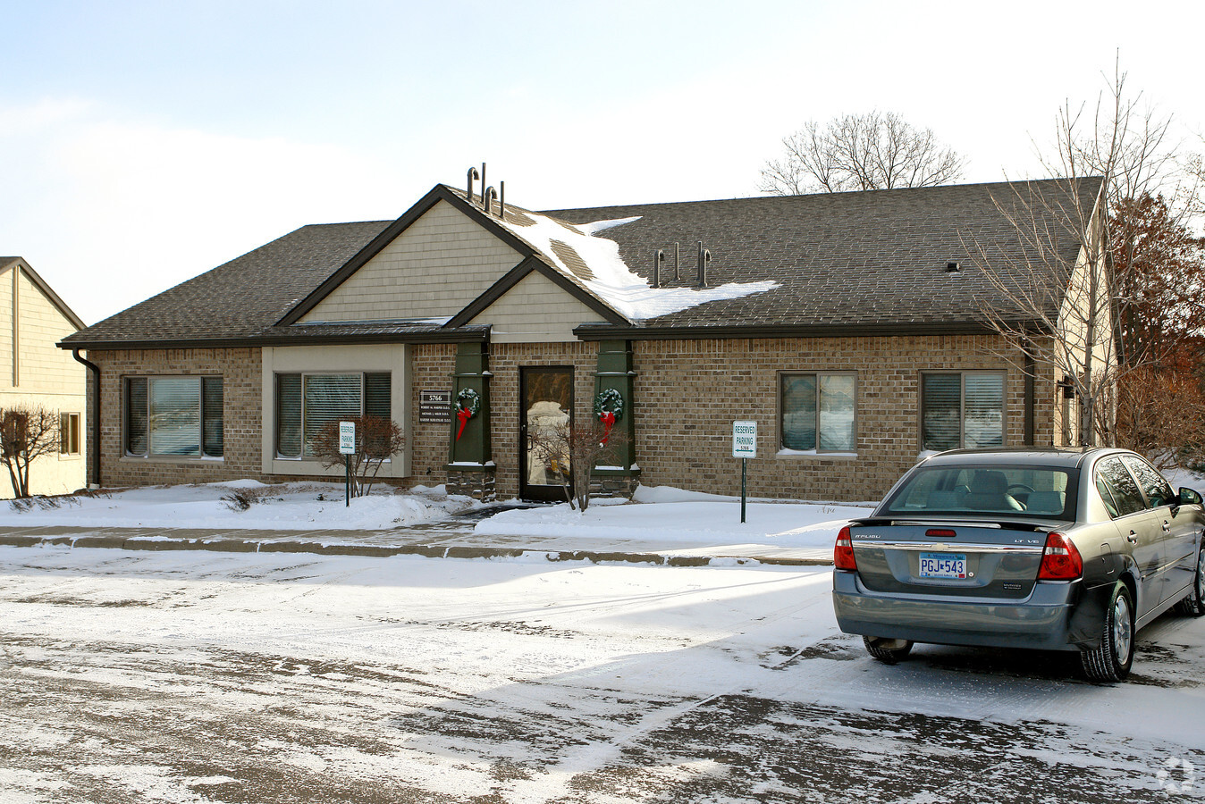
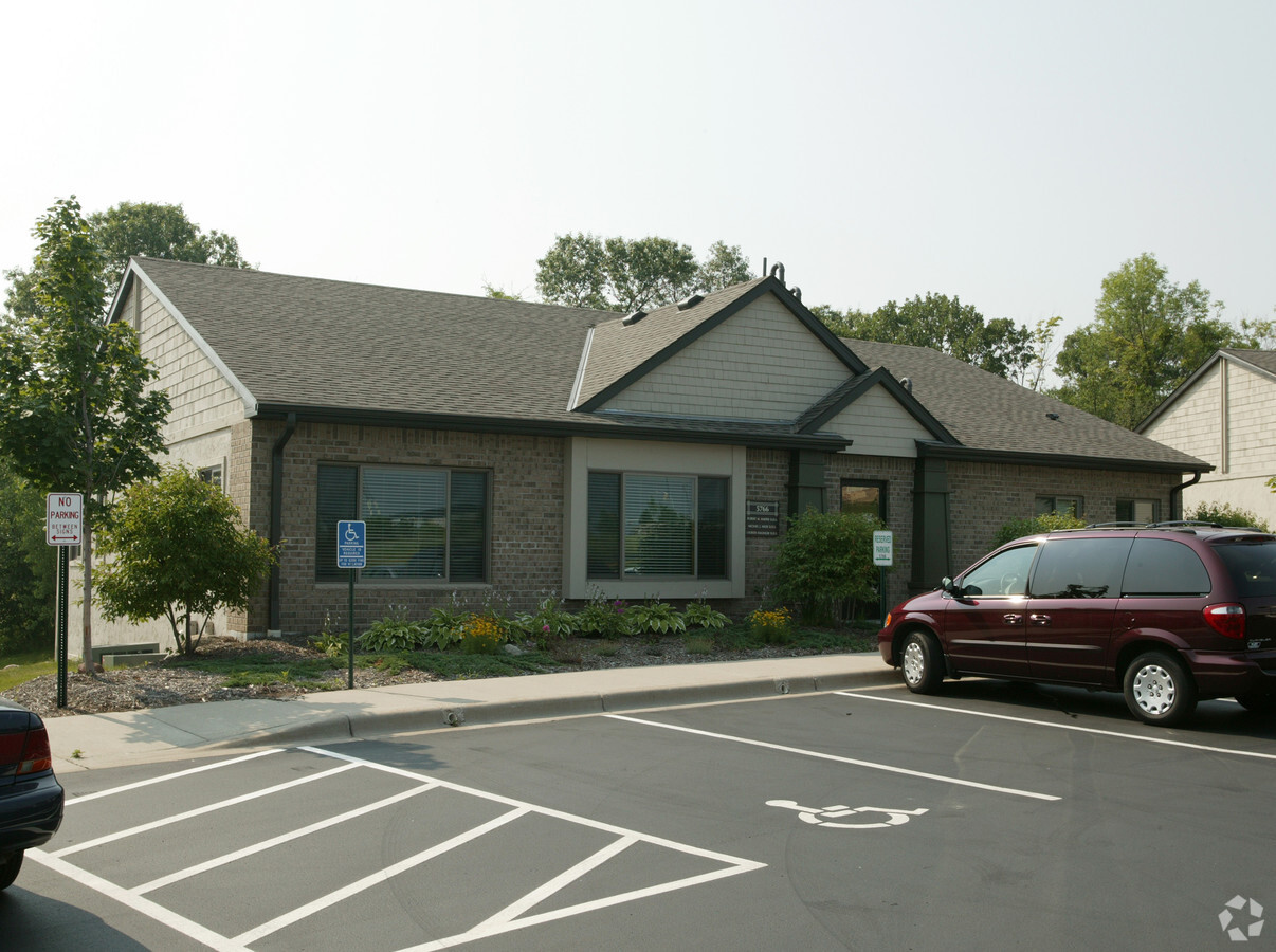
Property Record
5766 Blackshire Path, Inver Grove Heights, MN 55076
NEARBY LISTINGS FOR SALE OR LEASE
Property Detail
5766 Blackshire Path
Minneapolis-St. Paul-Bloomington, MN-WI
Blackberry Town Office Park
20-14160-01-291
BLACKBERRY TOWN OFFICE PARK 29 1 CIC #309 BLACKBERRY TOWN OFFICE PARK LOTS 28 & 29 BLK 1 & COMMON AREA KNOWN AS OUTLOT B & LOT 32 BLK 1 EX BEG SW COR E ON MOST SLY LINE 105.79 FT TO PT ON NW/LY R/W BLACKBERRY TRL NE ON R/W 30.13 FT N ON E LINE LOT 32
Commercialnec
Dakota
X
Minnesota
27037C0110E
291
2024
0.10 AC
2023
Suburban St Paul
060506
Minneapolis/St Paul
4,928 SF
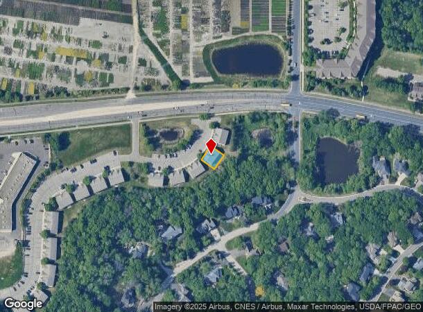
DEMOGRAPHICS near 5766 Blackshire Path
1 Mile
3 Mile
5 Mile
2024 Total Population
9,284
60,374
138,463
2029 Population
9,412
62,125
142,037
Pop Growth 2024-2029
+ 1.38%
+ 2.90%
+ 2.58%
Average Age
41
40
40
2024 Total Households
3,911
25,054
54,788
HH Growth 2024-2029
+ 1.36%
+ 2.90%
+ 2.60%
Median Household Inc
$74,087
$73,870
$84,113
Avg Household Size
2.30
2.30
2.50
2024 Avg HH Vehicles
2.00
2.00
2.00
Median Home Value
$261,100
$281,498
$301,306
Median Year Built
1979
1977
1978
Nearby Places
- Restaurants
- Banks
- Shops
- Fitness
- Groceries
PUBLIC TRANSPORTATION
COMMUTER RAIL
St. Paul-Minneapolis (Empire Builder - Amtrak)
DRIVE
WALK
Distance
St. Paul-Minneapolis (Empire Builder - Amtrak)
13 min
7.6 mi
AIRPORT
Minneapolis-St Paul International/Wold-Chamberlain
DRIVE
WALK
Distance
Minneapolis-St Paul International/Wold-Chamberlain
19 min
11.5 mi
Freight Ports
Port Milwaukee
DRIVE
WALK
Distance
Port Milwaukee
364 min
330.4 mi
Nearby Properties
Address
Land Use
TOTAL SIZE
Lot Size
Zoning
Address
Land Use
TOTAL SIZE
Lot Size
Zoning
Address
Land Use
TOTAL SIZE
Lot Size
Zoning
217,703 SF
3.51 AC
Address
Land Use
TOTAL SIZE
Lot Size
Zoning
228,050 SF
0.32 AC
Address
Land Use
TOTAL SIZE
Lot Size
Zoning
284,876 SF
29.54 AC
Address
Land Use
TOTAL SIZE
Lot Size
Zoning
Address
Land Use
TOTAL SIZE
Lot Size
Zoning
343,282 SF
10.79 AC
Address
Land Use
TOTAL SIZE
Lot Size
Zoning
173,044 SF
18.49 AC
Address
Land Use
TOTAL SIZE
Lot Size
Zoning
191,349 SF
5.10 AC
Address
Land Use
TOTAL SIZE
Lot Size
Zoning
227,382 SF
13.14 AC
Address
Land Use
TOTAL SIZE
Lot Size
Zoning
174,820 SF
7.79 AC
Address
Land Use
TOTAL SIZE
Lot Size
Zoning
111,595 SF
2.24 AC
Address
Land Use
TOTAL SIZE
Lot Size
Zoning
128,798 SF
4.22 AC
Address
Land Use
TOTAL SIZE
Lot Size
Zoning
147,944 SF
5.17 AC
Address
Land Use
TOTAL SIZE
Lot Size
Zoning
174,678 SF
24.36 AC
Address
Land Use
TOTAL SIZE
Lot Size
Zoning
175,656 SF
15.53 AC
Address
Land Use
TOTAL SIZE
Lot Size
Zoning
98,138 SF
2.12 AC
Address
Land Use
TOTAL SIZE
Lot Size
Zoning
219,438 SF
90.20 AC
Address
Land Use
TOTAL SIZE
Lot Size
Zoning
143,712 SF
9.57 AC
Address
Land Use
TOTAL SIZE
Lot Size
Zoning
105,022 SF
8.89 AC
Address
Land Use
TOTAL SIZE
Lot Size
Zoning
290,362 SF
12.83 AC
Address
Land Use
TOTAL SIZE
Lot Size
Zoning
117,784 SF
1.86 AC
Address
Land Use
TOTAL SIZE
Lot Size
Zoning
64,860 SF
2.65 AC
Address
Land Use
TOTAL SIZE
Lot Size
Zoning
67,370 SF
1.18 AC
Address
Land Use
TOTAL SIZE
Lot Size
Zoning
87,080 SF
2.16 AC
Address
Land Use
TOTAL SIZE
Lot Size
Zoning
95,693 SF
3.64 AC
Address
Land Use
TOTAL SIZE
Lot Size
Zoning
153,670 SF
12.88 AC
Address
Land Use
TOTAL SIZE
Lot Size
Zoning
113,243 SF
4.67 AC
Address
Land Use
TOTAL SIZE
Lot Size
Zoning
116,549 SF
11.95 AC
Address
Land Use
TOTAL SIZE
Lot Size
Zoning
185,715 SF
11.50 AC
Address
Land Use
TOTAL SIZE
Lot Size
Zoning
63,311 SF
6.23 AC
The World's #1 Commercial Real Estate Marketplace
Connect with us
© 2025 CoStar Group
The information above has been obtained from sources believed reliable. While we do not doubt its accuracy we have not verified it and make no guarantee, warranty or representation about it. It is your responsibility to independently confirm its accuracy and completeness. Any projections, opinions, assumptions, or estimates used are for example only and do not represent the current or future performance of the property. The value of this transaction to you depends on tax and other factors which should be evaluated by your tax, financial, and legal advisors. You and your advisors should conduct a careful, independent investigation of the property to determine to your satisfaction the suitability of the property for your needs.