Property Record
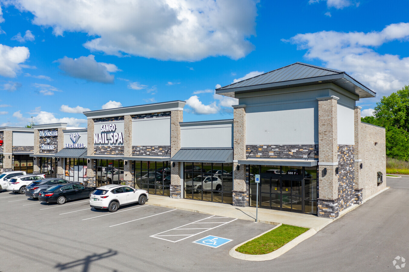
588 Fire Station Rd, Clarksville, TN 37043

NEARBY LISTINGS FOR SALE OR LEASE
Property Detail
588 Fire Station Rd
Clarksville, TN-KY
Milan Property Fire
063-077.07
Montgomery
Stripcommercialcenter
Tennessee
X
2.69 AC
47125C0215E
Montgomery County
3,960 SF
Nashville
DEMOGRAPHICS near 588 Fire Station Rd
1 Mile
3 Mile
5 Mile
2024 Total Population
3,325
27,413
58,674
2029 Population
3,882
32,391
69,395
Pop Growth 2024-2029
+ 16.75%
+ 18.16%
+ 18.27%
Average Age
42
39
38
2024 Total Households
1,278
10,066
22,203
HH Growth 2024-2029
+ 17.29%
+ 18.66%
+ 18.72%
Median Household Inc
$94,142
$89,679
$82,915
Avg Household Size
2.60
2.70
2.60
2024 Avg HH Vehicles
2.00
2.00
2.00
Median Home Value
$305,523
$294,055
$298,649
Median Year Built
2000
2001
2000
Nearby Places
- Restaurants
- Banks
- Shops
- Fitness
- Groceries
SALE & LEASE HISTORY
LISTING DATE
SALE/LEASE

Feb 23, 2018
For Lease
Nearby Properties
Address
Land Use
TOTAL SIZE
Lot Size
Zoning
Address
Land Use
TOTAL SIZE
Lot Size
Zoning
218,319 SF
90.76 AC
AG
Address
Land Use
TOTAL SIZE
Lot Size
Zoning
30,156 SF
48.80 AC
R-1A
Address
Land Use
TOTAL SIZE
Lot Size
Zoning
195,643 SF
9.92 AC
M-3
Address
Land Use
TOTAL SIZE
Lot Size
Zoning
142,230 SF
20.75 AC
R-1
Address
Land Use
TOTAL SIZE
Lot Size
Zoning
93,218 SF
19.99 AC
R-1
Address
Land Use
TOTAL SIZE
Lot Size
Zoning
52,666 SF
8.11 AC
M-2
Address
Land Use
TOTAL SIZE
Lot Size
Zoning
72,152 SF
35.48 AC
AG
Address
Land Use
TOTAL SIZE
Lot Size
Zoning
25,440 SF
6.40 AC
C-3
Address
Land Use
TOTAL SIZE
Lot Size
Zoning
52,249 SF
11.77 AC
R-1
Address
Land Use
TOTAL SIZE
Lot Size
Zoning
57,113 SF
9.61 AC
R-1
Address
Land Use
TOTAL SIZE
Lot Size
Zoning
207,010 SF
24.57 AC
C-5
Address
Land Use
TOTAL SIZE
Lot Size
Zoning
20,088 SF
4.64 AC
R-1
Address
Land Use
TOTAL SIZE
Lot Size
Zoning
95,725 SF
17.26 AC
M-3
Address
Land Use
TOTAL SIZE
Lot Size
Zoning
53,430 SF
9.21 AC
O-1
Address
Land Use
TOTAL SIZE
Lot Size
Zoning
43,896 SF
16.43 AC
R-4
Address
Land Use
TOTAL SIZE
Lot Size
Zoning
83,833 SF
15.71 AC
MLUD
Address
Land Use
TOTAL SIZE
Lot Size
Zoning
28,113 SF
7.99 AC
R-1
Address
Land Use
TOTAL SIZE
Lot Size
Zoning
18,804 SF
4.77 AC
AG
Address
Land Use
TOTAL SIZE
Lot Size
Zoning
12,126 SF
3.01 AC
M-2
Address
Land Use
TOTAL SIZE
Lot Size
Zoning
31,416 SF
3.32 AC
R-2
Address
Land Use
TOTAL SIZE
Lot Size
Zoning
28,096 SF
10.16 AC
AG
Address
Land Use
TOTAL SIZE
Lot Size
Zoning
49.94 AC
R-1
Address
Land Use
TOTAL SIZE
Lot Size
Zoning
3,928 SF
20.69 AC
R-1
Address
Land Use
TOTAL SIZE
Lot Size
Zoning
18,744 SF
5.85 AC
C-4
Address
Land Use
TOTAL SIZE
Lot Size
Zoning
22,620 SF
5.13 AC
R-1
Address
Land Use
TOTAL SIZE
Lot Size
Zoning
20,896 SF
12.49 AC
R-4
Address
Land Use
TOTAL SIZE
Lot Size
Zoning
29,414 SF
6.81 AC
Address
Land Use
TOTAL SIZE
Lot Size
Zoning
55,080 SF
5.41 AC
Address
Land Use
TOTAL SIZE
Lot Size
Zoning
7,840 SF
94.94 AC
R-1
Address
Land Use
TOTAL SIZE
Lot Size
Zoning
10,000 SF
11.03 AC
C-3
The World's #1 Commercial Real Estate Marketplace
Connect with us
© 2025 CoStar Group
The information above has been obtained from sources believed reliable. While we do not doubt its accuracy we have not verified it and make no guarantee, warranty or representation about it. It is your responsibility to independently confirm its accuracy and completeness. Any projections, opinions, assumptions, or estimates used are for example only and do not represent the current or future performance of the property. The value of this transaction to you depends on tax and other factors which should be evaluated by your tax, financial, and legal advisors. You and your advisors should conduct a careful, independent investigation of the property to determine to your satisfaction the suitability of the property for your needs.