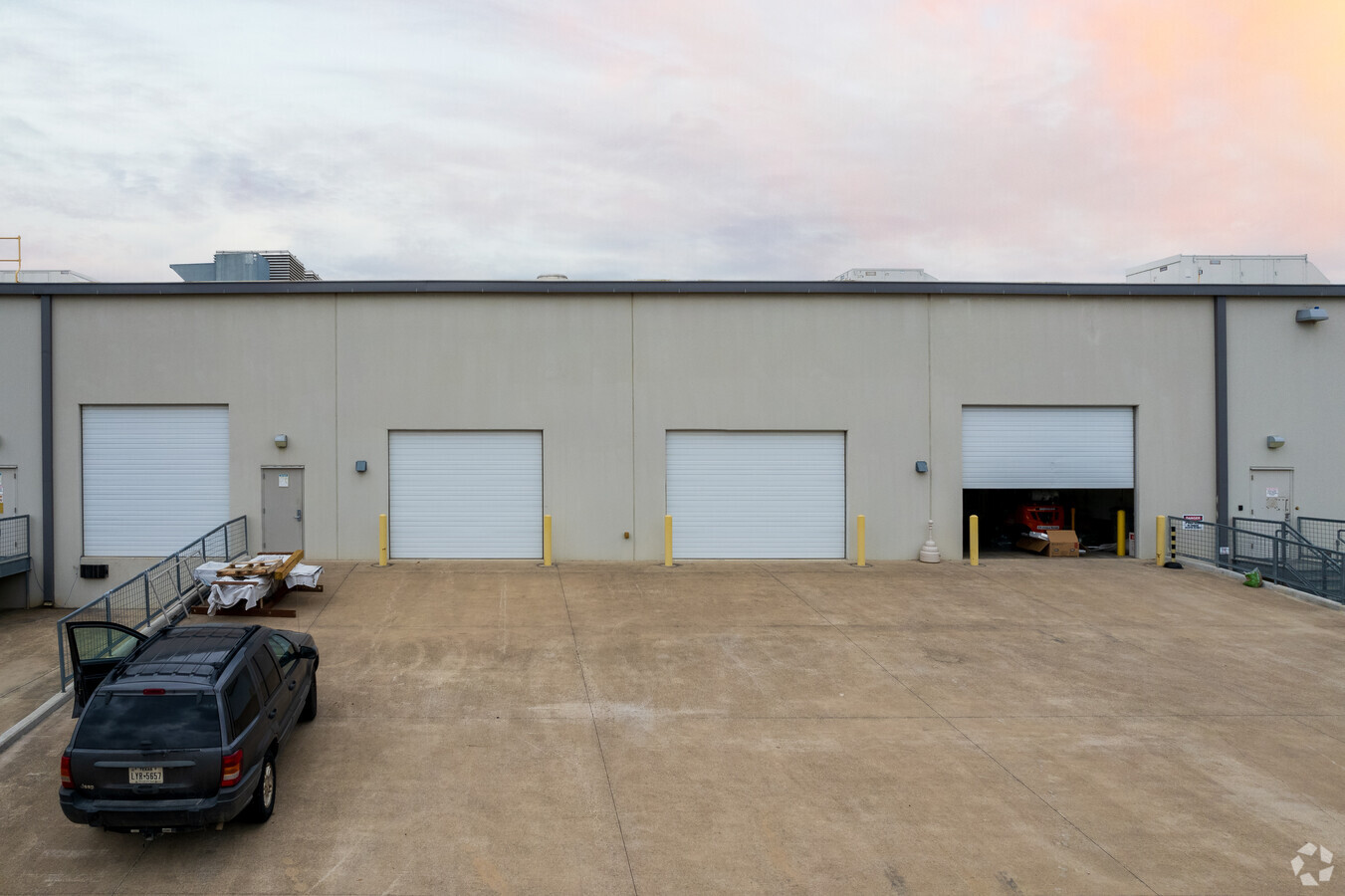
Property Record
5900 183A Toll Rd, Cedar Park, TX 78641


NEARBY LISTINGS FOR SALE OR LEASE
Property Detail
5900 183A Toll Rd
Austin-Round Rock, TX
Scottsdale Crossing (Amd)
R526791
AW0003 AW0003 - CAMPBELL, W. SUR., ACRES 15.71
Commercialnec
Williamson
X
Texas
48453C0115J
29
2023
5.63 AC
2023
Cedar Park
020338
Austin
45,756 SF
DEMOGRAPHICS near 5900 183A Toll Rd
1 Mile
3 Mile
5 Mile
2024 Total Population
6,523
72,661
204,189
2029 Population
8,197
91,957
258,142
Pop Growth 2024-2029
+ 25.66%
+ 26.56%
+ 26.42%
Average Age
37
37
36
2024 Total Households
2,305
25,690
71,490
HH Growth 2024-2029
+ 26.20%
+ 27.12%
+ 27.04%
Median Household Inc
$106,381
$104,116
$115,284
Avg Household Size
2.80
2.80
2.80
2024 Avg HH Vehicles
2.00
2.00
2.00
Median Home Value
$290,710
$364,298
$425,334
Median Year Built
2000
2006
2008
Nearby Places
- Restaurants
- Banks
- Shops
- Fitness
- Groceries
PUBLIC TRANSPORTATION
AIRPORT
Austin-Bergstrom International
DRIVE
WALK
Distance
Austin-Bergstrom International
47 min
33.9 mi
Freight Ports
Calhoun Port
DRIVE
WALK
Distance
Calhoun Port
212 min
177.4 mi
SALE & LEASE HISTORY
LISTING DATE
SALE/LEASE

May 08, 2019
For Lease
Dec 01, 2020
For Lease
Dec 01, 2020
For Sale
Nearby Properties
Address
Land Use
TOTAL SIZE
Lot Size
Zoning
Address
Land Use
TOTAL SIZE
Lot Size
Zoning
338,919 SF
42.88 AC
Address
Land Use
TOTAL SIZE
Lot Size
Zoning
277,152 SF
38 AC
Address
Land Use
TOTAL SIZE
Lot Size
Zoning
557,037 SF
36.63 AC
Address
Land Use
TOTAL SIZE
Lot Size
Zoning
313,727 SF
6.64 AC
Address
Land Use
TOTAL SIZE
Lot Size
Zoning
329,104 SF
19.97 AC
Address
Land Use
TOTAL SIZE
Lot Size
Zoning
250,556 SF
17.51 AC
Address
Land Use
TOTAL SIZE
Lot Size
Zoning
291,460 SF
26.57 AC
Address
Land Use
TOTAL SIZE
Lot Size
Zoning
223,681 SF
7.78 AC
Address
Land Use
TOTAL SIZE
Lot Size
Zoning
289,565 SF
14.35 AC
Address
Land Use
TOTAL SIZE
Lot Size
Zoning
181,000 SF
32.39 AC
Address
Land Use
TOTAL SIZE
Lot Size
Zoning
1 SF
138.94 AC
Address
Land Use
TOTAL SIZE
Lot Size
Zoning
249,862 SF
16.14 AC
Address
Land Use
TOTAL SIZE
Lot Size
Zoning
330,685 SF
20.17 AC
Address
Land Use
TOTAL SIZE
Lot Size
Zoning
117,076 SF
15.52 AC
Address
Land Use
TOTAL SIZE
Lot Size
Zoning
195,426 SF
12.11 AC
Address
Land Use
TOTAL SIZE
Lot Size
Zoning
246,581 SF
16.75 AC
Address
Land Use
TOTAL SIZE
Lot Size
Zoning
180,799 SF
22.90 AC
Address
Land Use
TOTAL SIZE
Lot Size
Zoning
205,563 SF
18.24 AC
4-GR
Address
Land Use
TOTAL SIZE
Lot Size
Zoning
151,181 SF
6 AC
Address
Land Use
TOTAL SIZE
Lot Size
Zoning
264,140 SF
21.37 AC
Address
Land Use
TOTAL SIZE
Lot Size
Zoning
37.81 AC
Address
Land Use
TOTAL SIZE
Lot Size
Zoning
251,691 SF
14.73 AC
Address
Land Use
TOTAL SIZE
Lot Size
Zoning
89,872 SF
45.29 AC
Address
Land Use
TOTAL SIZE
Lot Size
Zoning
240,800 SF
17.16 AC
Address
Land Use
TOTAL SIZE
Lot Size
Zoning
86,764 SF
Address
Land Use
TOTAL SIZE
Lot Size
Zoning
72,489 SF
8.99 AC
Address
Land Use
TOTAL SIZE
Lot Size
Zoning
123,858 SF
6.06 AC
Address
Land Use
TOTAL SIZE
Lot Size
Zoning
43.58 AC
Address
Land Use
TOTAL SIZE
Lot Size
Zoning
185,652 SF
10 AC
Address
Land Use
TOTAL SIZE
Lot Size
Zoning
166,265 SF
15.29 AC
3-PD
The World's #1 Commercial Real Estate Marketplace
Connect with us
© 2025 CoStar Group
The information above has been obtained from sources believed reliable. While we do not doubt its accuracy we have not verified it and make no guarantee, warranty or representation about it. It is your responsibility to independently confirm its accuracy and completeness. Any projections, opinions, assumptions, or estimates used are for example only and do not represent the current or future performance of the property. The value of this transaction to you depends on tax and other factors which should be evaluated by your tax, financial, and legal advisors. You and your advisors should conduct a careful, independent investigation of the property to determine to your satisfaction the suitability of the property for your needs.